Fishponds Plantation
Wood, Forest in Lincolnshire South Kesteven
England
Fishponds Plantation

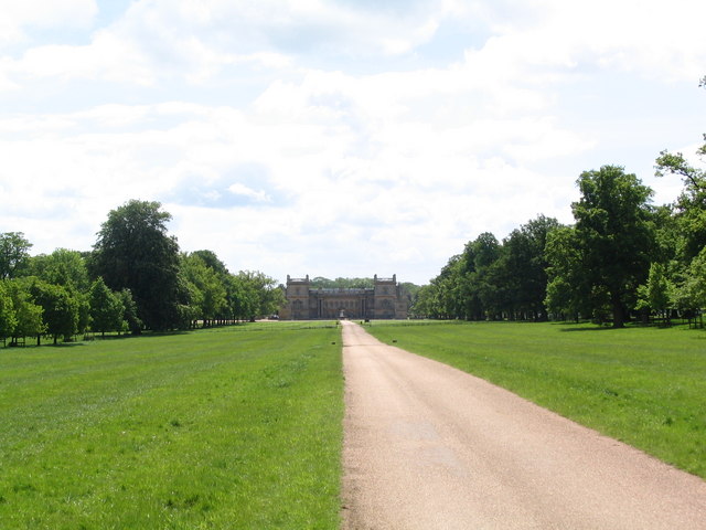
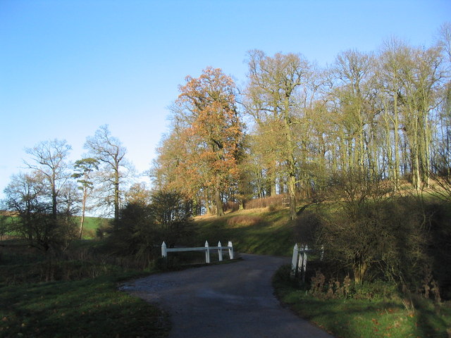
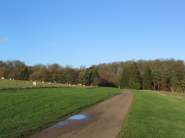
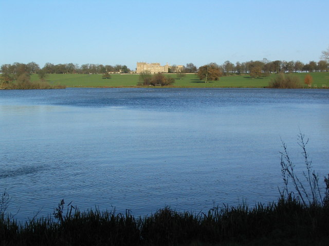
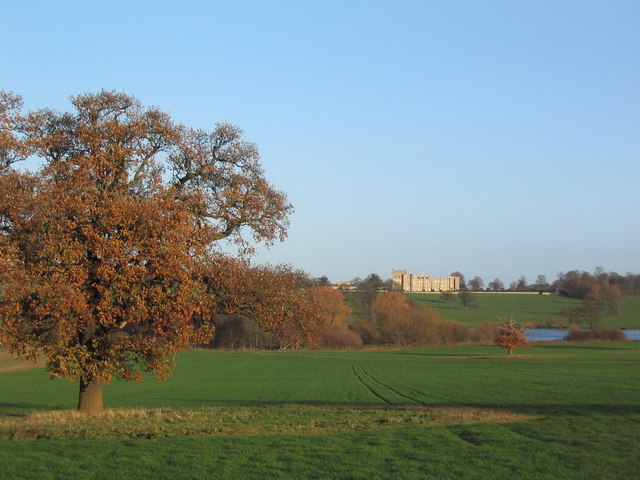
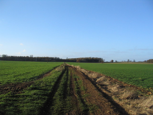
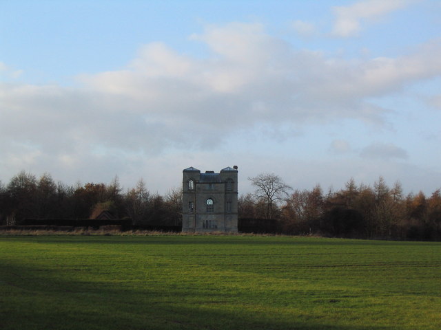
Fishponds Plantation is a picturesque woodland located in Lincolnshire, England. Covering an area of approximately 500 acres, it is a prime example of a well-preserved forest in the region. The plantation is known for its diverse range of plant and animal species, making it a popular destination for nature enthusiasts and wildlife photographers.
The woodland is predominantly composed of deciduous trees, including oak, birch, and beech, which create a stunning display of colors during the autumn season. The dense canopy provides a welcoming habitat for a variety of bird species, such as woodpeckers, nightingales, and owls. Additionally, the undergrowth is filled with wildflowers and ferns, adding to the beauty and biodiversity of the area.
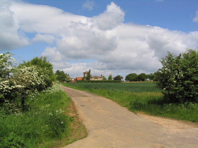
One of the standout features of Fishponds Plantation is its network of ponds and streams, hence the name. These water bodies attract a wide range of aquatic life, including frogs, newts, and various fish species. The tranquil atmosphere created by the gentle sound of flowing water and the sight of dragonflies hovering above the surface makes it an ideal place for relaxation and contemplation.
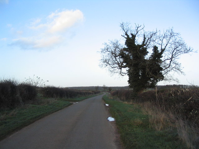
The plantation is open to the public and offers various walking trails, allowing visitors to explore the woodland at their own pace. There are also designated picnic areas and benches strategically placed throughout the plantation, enabling visitors to enjoy a peaceful meal amid the natural beauty.
Overall, Fishponds Plantation is a remarkable woodland that offers a unique blend of flora, fauna, and water features. Its serene atmosphere and stunning landscapes make it a must-visit destination for nature lovers in Lincolnshire.
If you have any feedback on the listing, please let us know in the comments section below.
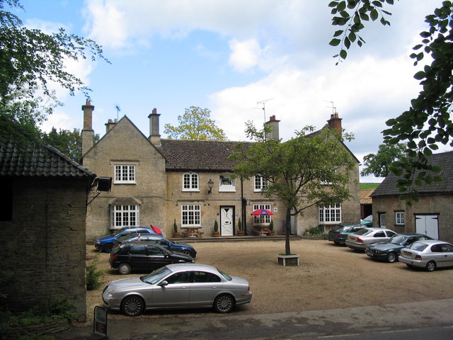
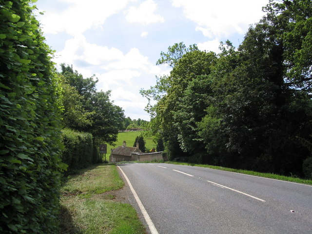
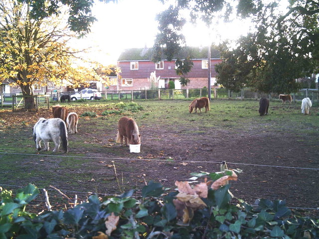
Fishponds Plantation Images
Images are sourced within 2km of 52.796167/-0.47618053 or Grid Reference TF0223. Thanks to Geograph Open Source API. All images are credited.


Fishponds Plantation is located at Grid Ref: TF0223 (Lat: 52.796167, Lng: -0.47618053)
Administrative County: Lincolnshire
District: South Kesteven
Police Authority: Lincolnshire
What 3 Words
///crop.blogs.cave. Near Corby Glen, Lincolnshire
Nearby Locations
Related Wikis

Swinstead
Swinstead is a village and civil parish in the South Kesteven district of Lincolnshire, England. It is situated 5 miles (8.0 km) west from Bourne, 9 miles...
South Kesteven
South Kesteven is a local government district in Lincolnshire, England, forming part of the traditional Kesteven division of the county. Its council is...

Grantham and Stamford (UK Parliament constituency)
Grantham and Stamford is a constituency in Lincolnshire represented in the House of Commons of the UK Parliament since 2019 by Gareth Davies, a Conservative...
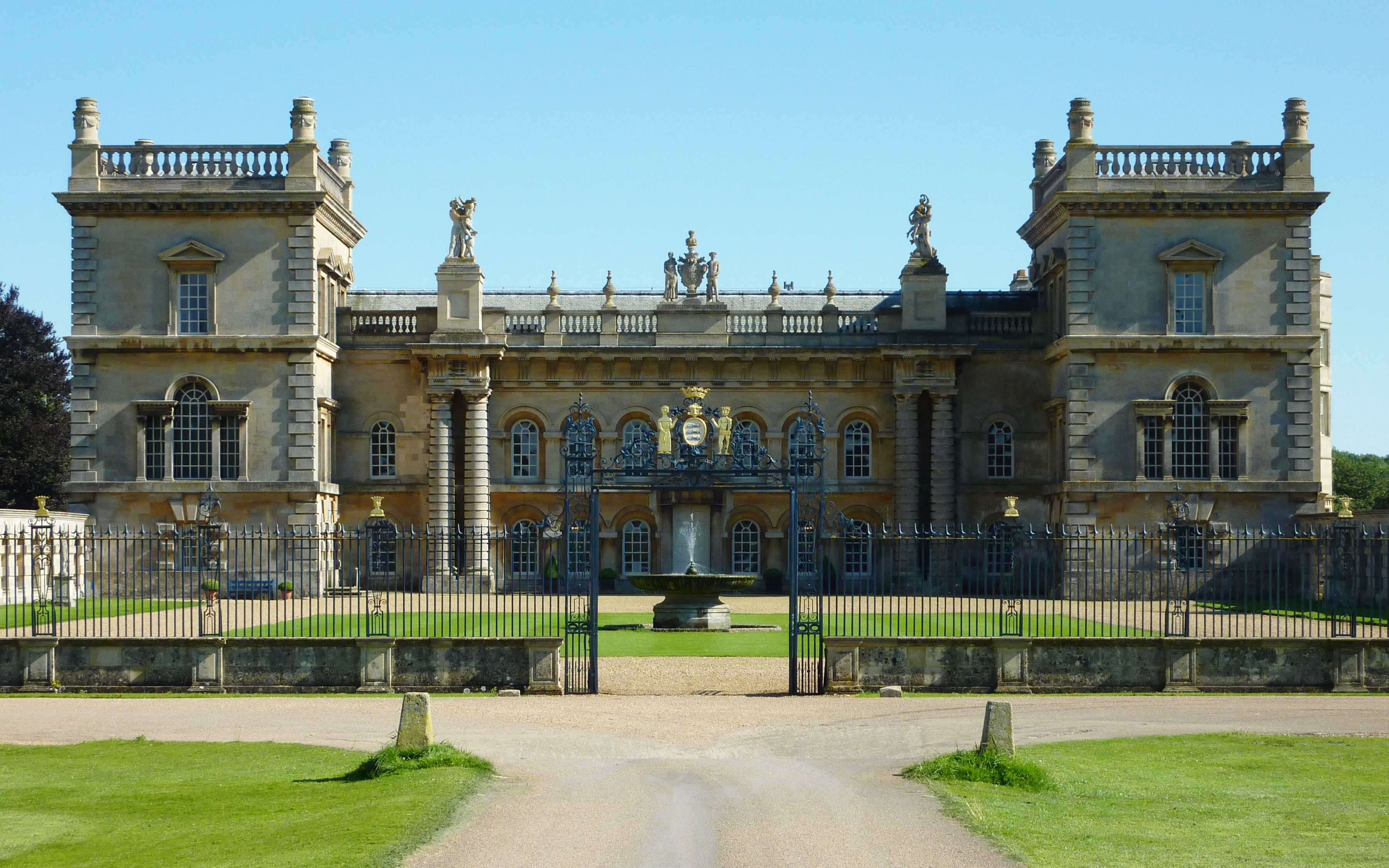
Grimsthorpe Castle
Grimsthorpe Castle is a country house in Lincolnshire, England 4 miles (6.4 km) north-west of Bourne on the A151. It lies within a 3,000 acre (12 km2)...

Vaudey Abbey
Vaudey Abbey , also known as Vandy Abbey or Vandey Abbey, was an English Cistercian abbey. It was founded in 1147 by William, Count of Aumale, Earl of...

Grimsthorpe
Grimsthorpe is a hamlet in the South Kesteven district of Lincolnshire, England. It is situated on the A151 road, and 3 miles (5 km) north-west from Bourne...
South Kesteven Rural District
South Kesteven was a rural district in Lincolnshire, Parts of Kesteven in England from 1931 to 1974. It was formed under a County Review Order in 1931...

Charles Read Academy
Charles Read Academy is a co-educational secondary school located in Corby Glen, Lincolnshire, England. It serves the villages between Stamford, Bourne...
Nearby Amenities
Located within 500m of 52.796167,-0.47618053Have you been to Fishponds Plantation?
Leave your review of Fishponds Plantation below (or comments, questions and feedback).