Toll Bar Plantation

Wood, Forest in Lincolnshire North Kesteven

England

Toll Bar Plantation

Power lines march across the Lincolnshire farmland
Power lines march across the Lincolnshire farmland Credit: Steve Fareham

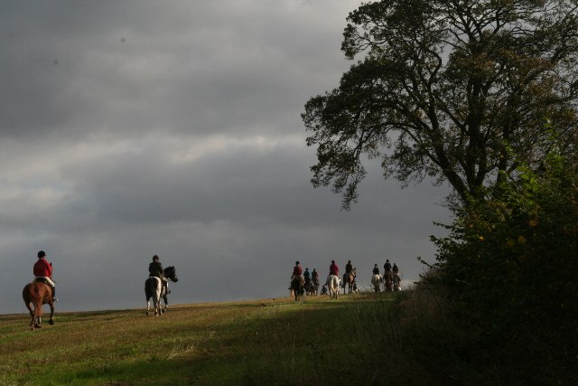
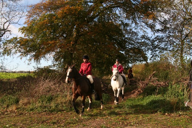
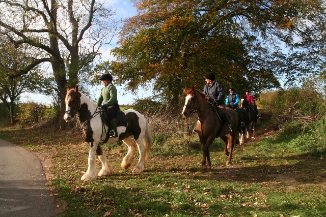
Toll Bar Plantation is a scenic woodland located in Lincolnshire, England. The plantation is situated near the village of Toll Bar, just a few miles south of Market Rasen. Covering an area of approximately 100 hectares, Toll Bar Plantation is a popular destination for nature enthusiasts, hikers, and birdwatchers.

The woodland is predominantly made up of a mixture of deciduous and coniferous trees, creating a diverse and vibrant ecosystem. Visitors can expect to see a variety of tree species, including oak, birch, beech, and pine. The tall, majestic trees provide shelter and food for a wide range of wildlife, making the plantation a haven for birds, mammals, and insects.

Toll Bar Plantation offers a network of walking trails that wind through the woodland, allowing visitors to explore the area at their own pace. These trails provide opportunities to observe the local flora and fauna up close and experience the tranquility of the natural surroundings. The plantation is also home to a small lake, which further enhances the beauty of the landscape.

Birdwatchers will be delighted by the diverse avian population that calls Toll Bar Plantation home. Species such as woodpeckers, nuthatches, tits, and finches can often be spotted among the treetops. The woodland also attracts migratory birds during certain seasons, adding to the richness of the birdlife in the area.

Overall, Toll Bar Plantation is a picturesque woodland that offers a peaceful escape from the hustle and bustle of everyday life. With its beautiful trees, abundant wildlife, and well-maintained trails, it is the perfect destination for those seeking a nature-filled adventure in Lincolnshire.

If you have any feedback on the listing, please let us know in the comments section below.

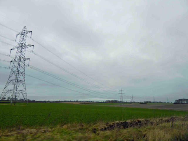
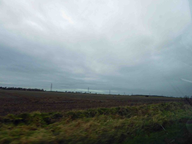
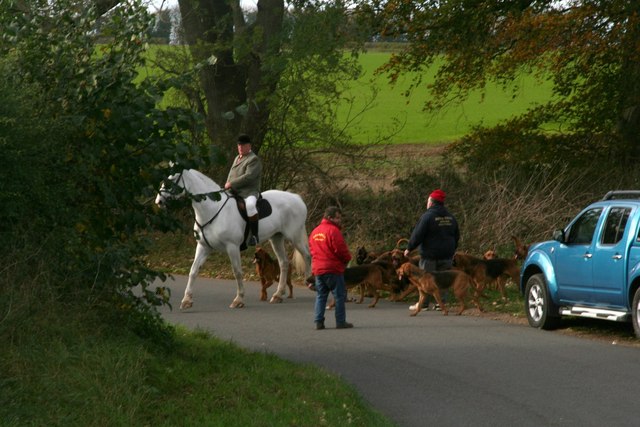
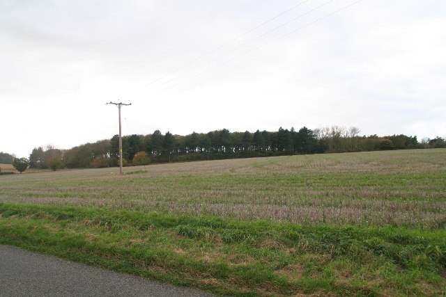
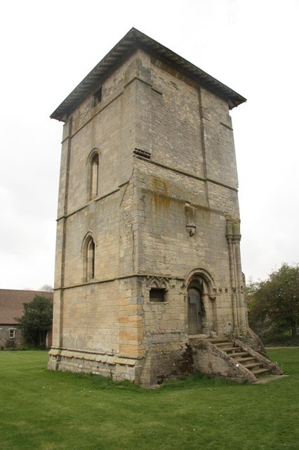
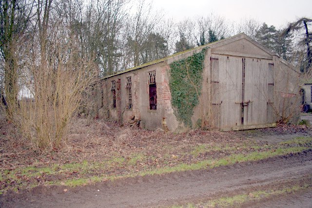
Toll Bar Plantation Images

Images are sourced within 2km of 53.086585/-0.46718179 or Grid Reference TF0255. Thanks to Geograph Open Source API. All images are credited.

Power lines march across the Lincolnshire farmland
Lincolnshire farmland and a distant powerline
A15 Northbound
A15 Northbound
Gorse Hill Lane
Gorse Hill Lane
Field off Gorse Hill Lane
Cranwell Boodhounds emerging from Warren Lane, Temple Bruer
Keeper's Covert by the B1191 near Ashby de la Launde
Farm track off the B1191 south of Ashby de la Launde
Out with the Cranwell Bloodhounds near Temple Bruer
Out with the Cranwell Bloodhounds: riders emerging from Warren Lane (1)
Out with the Cranwell Bloodhounds: riders emerging from Warren Lane (2) Jumpers to the right (over a log), non-jumpers straight on.
Out with the Cranwell Bloodhounds: riders emerging from Warren Lane (2)
Jumpers to the right (over a log), non-jumpers straight on.
Warren Houses, Warren Lane, Temple Bruer For more information on this area, including the Templars, and the Temple Bruer Heath and its rabbit warrens, see <span class="nowrap"><a title="http://www.artsnk.org/wp-content/uploads/2016/06/Heritage-Lincolnshire-Research.pdf" rel="nofollow ugc noopener" href="http://www.artsnk.org/wp-content/uploads/2016/06/Heritage-Lincolnshire-Research.pdf">Link</a><img style="margin-left:2px;" alt="External link" title="External link - shift click to open in new window" src="https://s1.geograph.org.uk/img/external.png" width="10" height="10"/></span> .
Warren Houses, Warren Lane, Temple Bruer
For more information on this area, including the Templars, and the Temple Bruer Heath and its rabbit warrens, see LinkExternal link .
South Lincolnshire Walking Festival: Temple Bruer walk (3) Warren Lane. For more information on this area, including the Templars, and the Temple Bruer Heath and its rabbit warrens, see <span class="nowrap"><a title="http://www.artsnk.org/wp-content/uploads/2016/06/Heritage-Lincolnshire-Research.pdf" rel="nofollow ugc noopener" href="http://www.artsnk.org/wp-content/uploads/2016/06/Heritage-Lincolnshire-Research.pdf">Link</a><img style="margin-left:2px;" alt="External link" title="External link - shift click to open in new window" src="https://s1.geograph.org.uk/img/external.png" width="10" height="10"/></span> .

See also <a href="https://www.geograph.org.uk/gridref/TF0053">TF0053</a>, <a href="https://www.geograph.org.uk/gridref/TF0054">TF0054</a> and <a href="https://www.geograph.org.uk/gridref/TF0153">TF0153</a>.
South Lincolnshire Walking Festival: Temple Bruer walk (3)
Warren Lane. For more information on this area, including the Templars, and the Temple Bruer Heath and its rabbit warrens, see LinkExternal link . See also TF0053, TF0054 and TF0153.
South Lincolnshire Walking Festival: Temple Bruer walk (4) Warren Lane. For more information on this area, including the Templars, and the Temple Bruer Heath and its rabbit warrens, see <span class="nowrap"><a title="http://www.artsnk.org/wp-content/uploads/2016/06/Heritage-Lincolnshire-Research.pdf" rel="nofollow ugc noopener" href="http://www.artsnk.org/wp-content/uploads/2016/06/Heritage-Lincolnshire-Research.pdf">Link</a><img style="margin-left:2px;" alt="External link" title="External link - shift click to open in new window" src="https://s1.geograph.org.uk/img/external.png" width="10" height="10"/></span> .

See also <a href="https://www.geograph.org.uk/gridref/TF0053">TF0053</a>, <a href="https://www.geograph.org.uk/gridref/TF0054">TF0054</a> and <a href="https://www.geograph.org.uk/gridref/TF0153">TF0153</a>.
South Lincolnshire Walking Festival: Temple Bruer walk (4)
Warren Lane. For more information on this area, including the Templars, and the Temple Bruer Heath and its rabbit warrens, see LinkExternal link . See also TF0053, TF0054 and TF0153.
Warren Lane, Temple Bruer Believed to be a former Roman Road.

See also <a href="https://www.geograph.org.uk/gridref/TF0053">TF0053</a>, <a href="https://www.geograph.org.uk/gridref/TF0054">TF0054</a> and <a href="https://www.geograph.org.uk/gridref/TF0153">TF0153</a>.

For more information on this area, including the Templars, and the Temple Bruer Heath and its rabbit warrens, see <span class="nowrap"><a title="http://www.artsnk.org/wp-content/uploads/2016/06/Heritage-Lincolnshire-Research.pdf" rel="nofollow ugc noopener" href="http://www.artsnk.org/wp-content/uploads/2016/06/Heritage-Lincolnshire-Research.pdf">Link</a><img style="margin-left:2px;" alt="External link" title="External link - shift click to open in new window" src="https://s1.geograph.org.uk/img/external.png" width="10" height="10"/></span> .
Warren Lane, Temple Bruer
Believed to be a former Roman Road. See also TF0053, TF0054 and TF0153. For more information on this area, including the Templars, and the Temple Bruer Heath and its rabbit warrens, see LinkExternal link .
Pylons crossing the A15
Fields by the A15, Ashby-de-la-Launde
Show me another place!

Toll Bar Plantation is located at Grid Ref: TF0255 (Lat: 53.086585, Lng: -0.46718179)

Administrative County: Lincolnshire

District: North Kesteven

Police Authority: Lincolnshire

What 3 Words

///heartache.finders.tumble. Near Navenby, Lincolnshire

Nearby Locations

Toll Bar Plantation

Related Wikis

Thompson's Bottom

Thompson's Bottom is a hamlet in the North Kesteven district of Lincolnshire, England. It is situated just under 0.5 miles (0.8 km) west from the A15 road...

RAF Digby

Royal Air Force Digby otherwise known as RAF Digby is a Royal Air Force station located near Scopwick and 11.6 mi (18.7 km) south east of Lincoln, in Lincolnshire...

Ashby de la Launde

Ashby de la Launde is a small village, part of the civil parish of Ashby de la Launde and Bloxholm, in the North Kesteven district of Lincolnshire, England...

Temple Bruer Preceptory

Temple Bruer Preceptory is a historic building in the civil parish of Temple Bruer with Temple High Grange, North Kesteven, Lincolnshire, England. It...

Temple Bruer with Temple High Grange

Temple Bruer with Temple High Grange is a civil parish and a former extra-parochial area in North Kesteven, Lincolnshire, England which had in the Medieval...

Ashby de la Launde and Bloxholm

Ashby de la Launde and Bloxholm is a civil parish in the North Kesteven district of Lincolnshire, England. According to the 2001 Census it had a population...

Brauncewell

Brauncewell is a hamlet and former civil parish in the North Kesteven district of Lincolnshire, England. From the census 2011 the population is included...

RAF Wellingore

Royal Air Force Wellingore or more simply RAF Wellingore is a former Royal Air Force fighter relief landing ground located 1.9 miles (3.1 km) south of...

Nearby Amenities

Located within 500m of 53.086585,-0.46718179
Ashby Lodge
Place: isolated_dwelling
Source: Bing
Lat/Long: 53.0848086/-0.4642587
Toll Bar Cottages
Place: isolated_dwelling
Source: Bing
Lat/Long: 53.0889049/-0.4681881
Parking
Lat/Long: 53.0848085/-0.4674485
The data included in this document is from www.openstreetmap.org. The data is made available under ODbL.

Have you been to Toll Bar Plantation?

Leave your review of Toll Bar Plantation below (or comments, questions and feedback).