Breach Wood
Wood, Forest in Hertfordshire Dacorum
England
Breach Wood
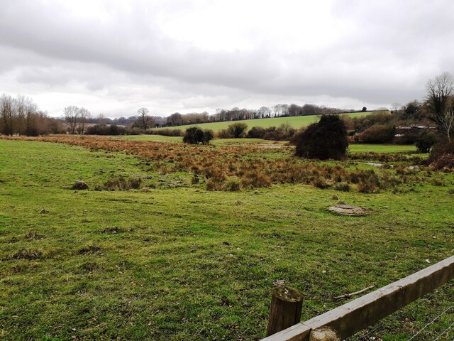
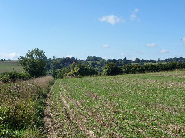
Breach Wood, located in Hertfordshire, England, is a charming and picturesque woodland area that covers approximately 30 hectares. Situated in the southeastern part of the county, this wood is known for its diverse flora and fauna, making it a haven for nature enthusiasts and wildlife lovers alike.
The wood is composed of a mixture of deciduous and evergreen trees, including oak, beech, birch, and pine, creating a rich and vibrant tapestry of colors throughout the year. These trees provide ample shade and shelter, creating a tranquil and peaceful atmosphere for visitors to enjoy.
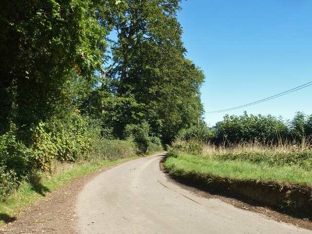
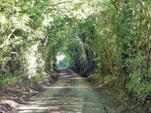
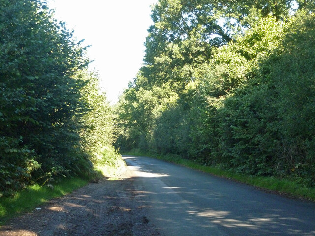
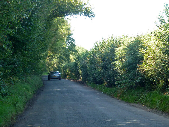
Walking through Breach Wood, one can find a variety of walking trails and footpaths that lead to hidden gems within the forest. The trails wind through the dense foliage and are well-maintained, making it accessible for walkers of all ages and abilities. Along the way, visitors may come across enchanting clearings, babbling brooks, and even a small pond, enhancing the beauty and charm of the wood.
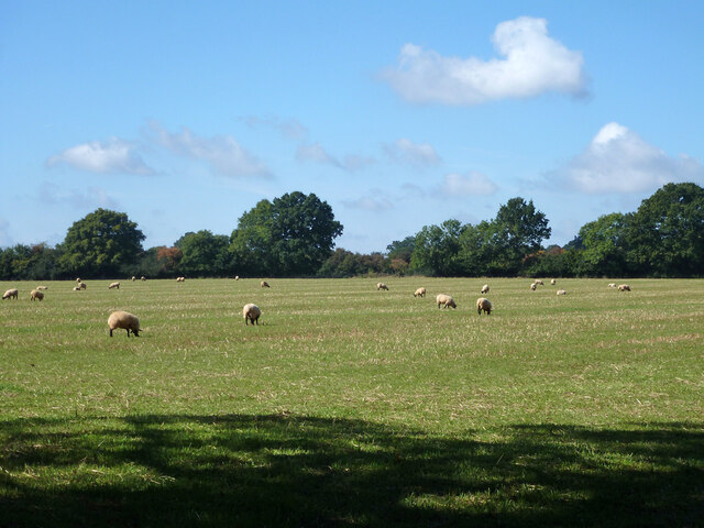
The wood is also home to a diverse range of wildlife, including squirrels, deer, rabbits, and a plethora of bird species. Birdwatchers can spot woodpeckers, blue tits, and thrushes among the trees, while lucky visitors may even catch a glimpse of a fox or badger.
Breach Wood offers a peaceful and immersive experience in nature, making it an ideal destination for those seeking a break from the hustle and bustle of daily life. Whether it's a leisurely walk, a picnic under the shade of the trees, or simply appreciating the natural beauty, this woodland area is a true gem in Hertfordshire's landscape.
If you have any feedback on the listing, please let us know in the comments section below.
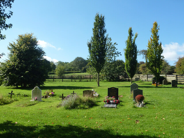
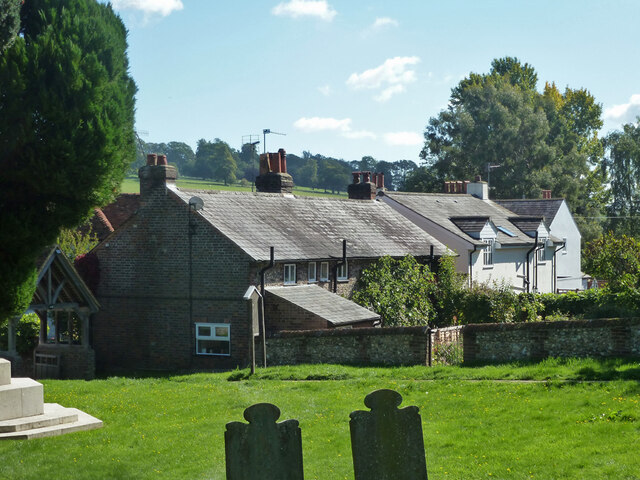
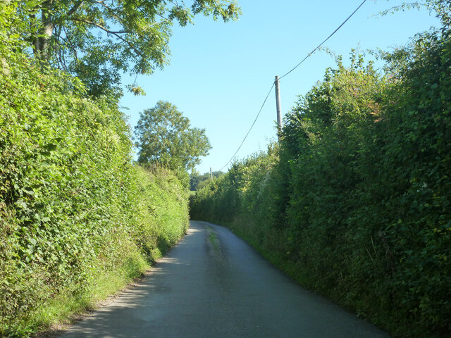
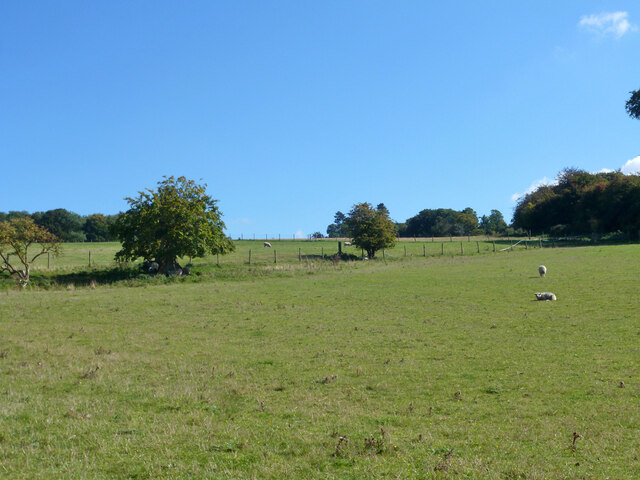
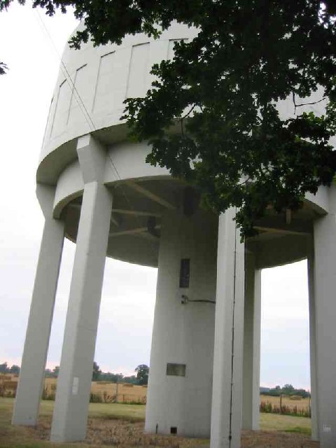
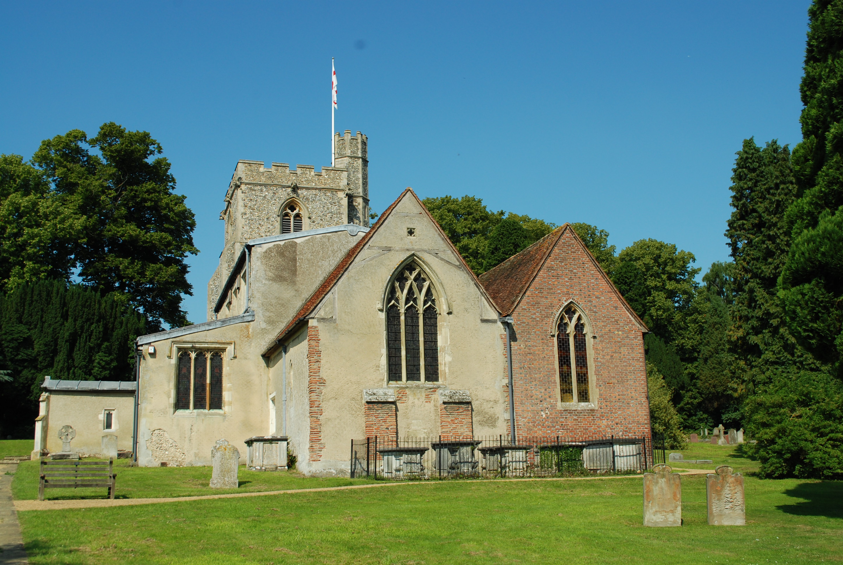
Breach Wood Images
Images are sourced within 2km of 51.806889/-0.51099983 or Grid Reference TL0213. Thanks to Geograph Open Source API. All images are credited.

Breach Wood is located at Grid Ref: TL0213 (Lat: 51.806889, Lng: -0.51099983)
Administrative County: Hertfordshire
District: Dacorum
Police Authority: Hertfordshire
What 3 Words
///tricky.shadow.pronouns. Near Markyate, Hertfordshire
Nearby Locations
Related Wikis

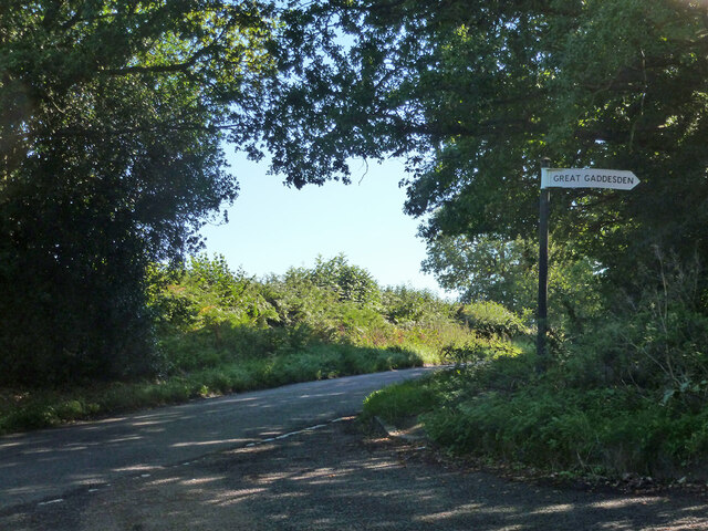
The Hoo, Great Gaddesden
The Hoo is a Grade II* listed country house in Great Gaddesden, Hertfordshire, England. It dates from around 1683. In 1944 it was in use as a maternity...

Ballingdon Bottom
Ballingdon Bottom is a valley in Hertfordshire, England. It forms part of the boundary between the civil parishes of Flamstead and Great Gaddesden....
St Margaret's Convent, Hertfordshire
St Margaret's Convent was a convent of the Benedictine order near Great Gaddesden in Hertfordshire, England. Founded in 1160, it was abolished as a consequence...
Great Gaddesden
Great Gaddesden is a village and civil parish in Dacorum Hundred in Hertfordshire, England. It is located in the Chiltern Hills, north of Hemel Hempstead...

Amaravati Buddhist Monastery
Amaravati is a Theravada Buddhist monastery at the eastern end of the Chiltern Hills in South East England. Established in 1984 by Ajahn Sumedho as an...

Gaddesden Place
Gaddesden Place, near Hemel Hempstead in Hertfordshire, England, was designed by architect James Wyatt and built between 1768 and 1773, and was the home...

Beechwood Park (mansion)
Beechwood Park was a mansion, near Markyate, Hertfordshire, England. It now houses Beechwood Park School. == History == Ralph de Tony held this site, in...

Golden Parsonage
The Golden Parsonage is a Grade II* listed country house in Great Gaddesden, Hertfordshire, and is part of the Gaddesden Estate. The house remains in the...
Nearby Amenities
Located within 500m of 51.806889,-0.51099983Have you been to Breach Wood?
Leave your review of Breach Wood below (or comments, questions and feedback).