Cliff Hill Plantation

Wood, Forest in Lincolnshire North Kesteven

England

Cliff Hill Plantation

Grantham Road towards Sleaford
Grantham Road towards Sleaford Credit: Ian S

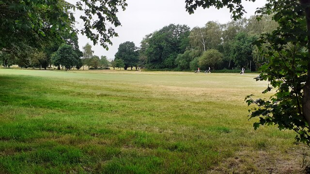
Cliff Hill Plantation is a picturesque woodland located in Lincolnshire, England. Situated near the village of Wood, the plantation encompasses a vast area of dense forest and offers a tranquil escape from the bustling city life. Covering approximately 200 acres, the plantation is renowned for its diverse range of tree species, including oak, beech, and pine.

The woodland is a haven for nature enthusiasts and provides a habitat for a variety of wildlife. Visitors can spot numerous bird species, such as woodpeckers, owls, and thrushes, as well as small mammals like rabbits and squirrels. The plantation is also home to several rare plant species, making it a significant area for conservation efforts.

Cliff Hill Plantation is popular among hikers and nature lovers, who can explore the numerous walking trails that wind through the forest. The well-maintained paths offer stunning views of the surrounding countryside and provide an opportunity to immerse oneself in the peaceful ambiance of the woodland. Additionally, the plantation features picnic areas and benches where visitors can relax and enjoy the serene environment.

Managed by the local forestry commission, Cliff Hill Plantation is open to the public year-round. The plantation is easily accessible by car, with ample parking available. It is advised to check for any seasonal closures or restrictions before planning a visit.

Overall, Cliff Hill Plantation in Lincolnshire is a captivating destination for those seeking a peaceful retreat in the midst of nature. With its diverse ecosystem and scenic beauty, it offers a truly enchanting experience for all who venture into its woods.

If you have any feedback on the listing, please let us know in the comments section below.

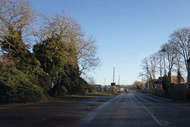
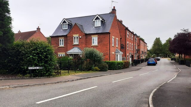
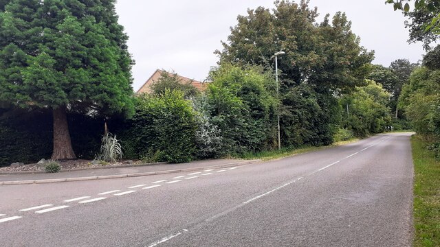
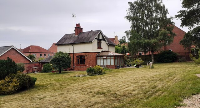
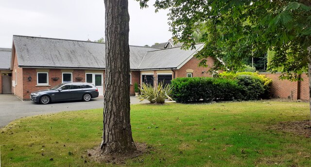
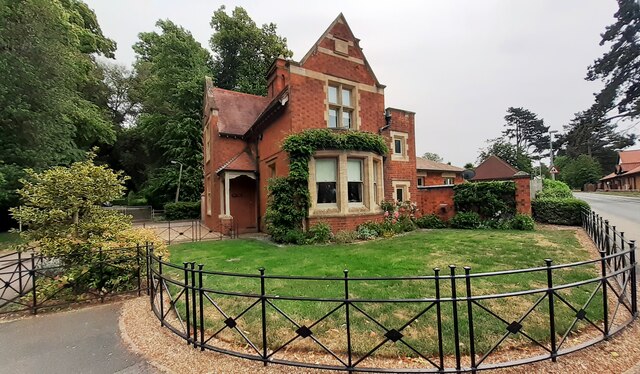
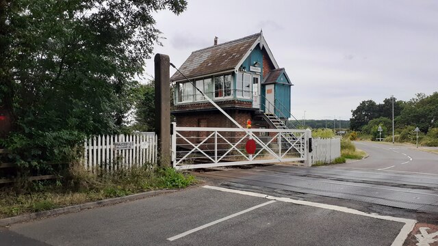
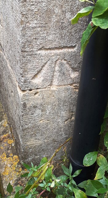
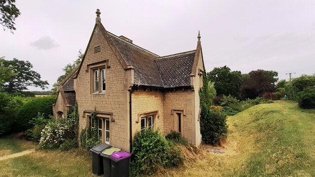
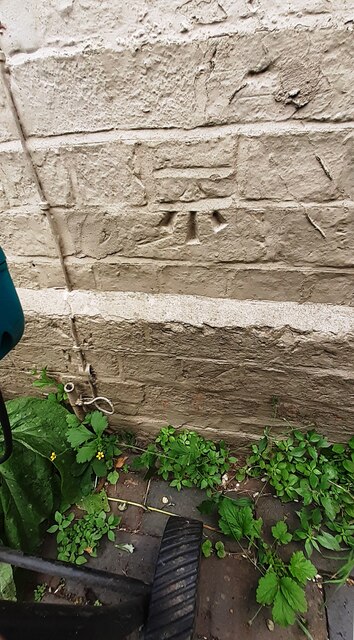
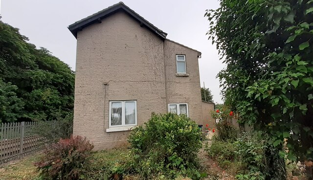
Cliff Hill Plantation Images

Images are sourced within 2km of 52.988931/-0.47308462 or Grid Reference TF0244. Thanks to Geograph Open Source API. All images are credited.

Grantham Road towards Sleaford
Looking northwards along Renfrew Drive from Willoughby Road junction
Looking east along Willoughby Road at Renfrew Drive junction Ordnance Survey documents indicate that a benchmark levelled at 25.759m above Newlyn Datum was verified in 1969 on a gatepost  on the left hand side of the road about 10m from the junction
Looking east along Willoughby Road at Renfrew Drive junction
Ordnance Survey documents indicate that a benchmark levelled at 25.759m above Newlyn Datum was verified in 1969 on a gatepost on the left hand side of the road about 10m from the junction
Detached house with conservatory on north side of Willoughby Road Ordnance Survey documents indicate that a benchmark levelled at 25.330m above Newlyn Datum was verified in 1969 on a farm building (Home Farm) previously on this site, but now demolished
Detached house with conservatory on north side of Willoughby Road
Ordnance Survey documents indicate that a benchmark levelled at 25.330m above Newlyn Datum was verified in 1969 on a farm building (Home Farm) previously on this site, but now demolished
Bungalow on east side of Willoughby Road
Benchmark on West Lodge on east side of Willoughby Road Ordnance Survey cut mark benchmark levelled at 21.930m above Newlyn Datum verified 1969
Benchmark on West Lodge on east side of Willoughby Road
Ordnance Survey cut mark benchmark levelled at 21.930m above Newlyn Datum verified 1969
West Lodge at Kinross Road / Willoughby Road junction There is an Ordnance Survey benchmark <a href="https://www.geograph.org.uk/photo/7530668">TF0343 : Benchmark on West Lodge on east side of Willoughby Road</a>  on the SW corner of the lodge
West Lodge at Kinross Road / Willoughby Road junction
There is an Ordnance Survey benchmark TF0343 : Benchmark on West Lodge on east side of Willoughby Road on the SW corner of the lodge
Rauceby Signal box and Willoughby Road level crossing
Benchmark on house #53 Ordnance Survey cut mark benchmark levelled at 20.831m above Newlyn Datum in 1955 and verified in 1969
Benchmark on house #53
Ordnance Survey cut mark benchmark levelled at 20.831m above Newlyn Datum in 1955 and verified in 1969
House Nos. 52 and 53 at junction of Gantham Road and Rauceby Drove There is an Ordnance Survey benchmark <a href="https://www.geograph.org.uk/photo/7530962">TF0344 : Benchmark on house #53</a> on the near corner of the building (which has an 1852 date stone)  between the right-hand wheelie bin and the black downpipe.
House Nos. 52 and 53 at junction of Gantham Road and Rauceby Drove
There is an Ordnance Survey benchmark TF0344 : Benchmark on house #53 on the near corner of the building (which has an 1852 date stone) between the right-hand wheelie bin and the black downpipe.
Benchmark on Greylees Cottage on south side of Grantham Road Ordnance Survey cut mark benchmark levelled at 20.806m above Newlyn Datum in 1955
Benchmark on Greylees Cottage on south side of Grantham Road
Ordnance Survey cut mark benchmark levelled at 20.806m above Newlyn Datum in 1955
Greylees Cottage, former level crossing keeper's house There is an Ordnance Survey benchmark <a href="https://www.geograph.org.uk/photo/7531009">TF0444 : Benchmark on Greylees Cottage on south side of Grantham Road</a> on the right hand corner of the house
Greylees Cottage, former level crossing keeper's house
There is an Ordnance Survey benchmark TF0444 : Benchmark on Greylees Cottage on south side of Grantham Road on the right hand corner of the house
Quarrington Level Crossing for Grantham Road (A153) across railway
Sleaford Golf Course
Rauceby Station, house, level crossing and signal box
Turbostar #170201 crosses A153 on its way to Grantham at Quarrington Level Crossing
Willoughby Road approaching Greylees
Renfrew Drive, Greylees Part of the new village of Greylees, where redevelopment started in the 2000s on the site of the former Rauceby Mental Hospital.
Renfrew Drive, Greylees
Part of the new village of Greylees, where redevelopment started in the 2000s on the site of the former Rauceby Mental Hospital.
Show me another place!

Cliff Hill Plantation is located at Grid Ref: TF0244 (Lat: 52.988931, Lng: -0.47308462)

Administrative County: Lincolnshire

District: North Kesteven

Police Authority: Lincolnshire

What 3 Words

///burns.detonated.thus. Near Ancaster, Lincolnshire

Related Wikis

South Rauceby

South Rauceby is a village and civil parish in the North Kesteven district of Lincolnshire, England. It is situated 2.5 miles (4.0 km) west from Sleaford...

Rauceby railway station

Rauceby railway station is a station near the town of Sleaford, Lincolnshire, England, lying close to the western border of the Parish of Old Sleaford...

South Rauceby Hall

South Rauceby Hall, South Rauceby, Lincolnshire, England is a country house dating from the mid-19th century. It was designed by William Burn in 1842 for...

Rauceby Hospital

Rauceby Hospital, originally called Kesteven County Asylum, is a now-defunct mental institution in the parish of Quarrington, Lincolnshire, England. Originally...

North Rauceby

North Rauceby is a village and civil parish in the North Kesteven district of Lincolnshire, England. It is situated 4 miles (6 km) north-west from Sleaford...

Wilsford, Lincolnshire

Wilsford is a village and civil parish in the North Kesteven district of Lincolnshire, England. The population of the civil parish was 400 at the 2011...

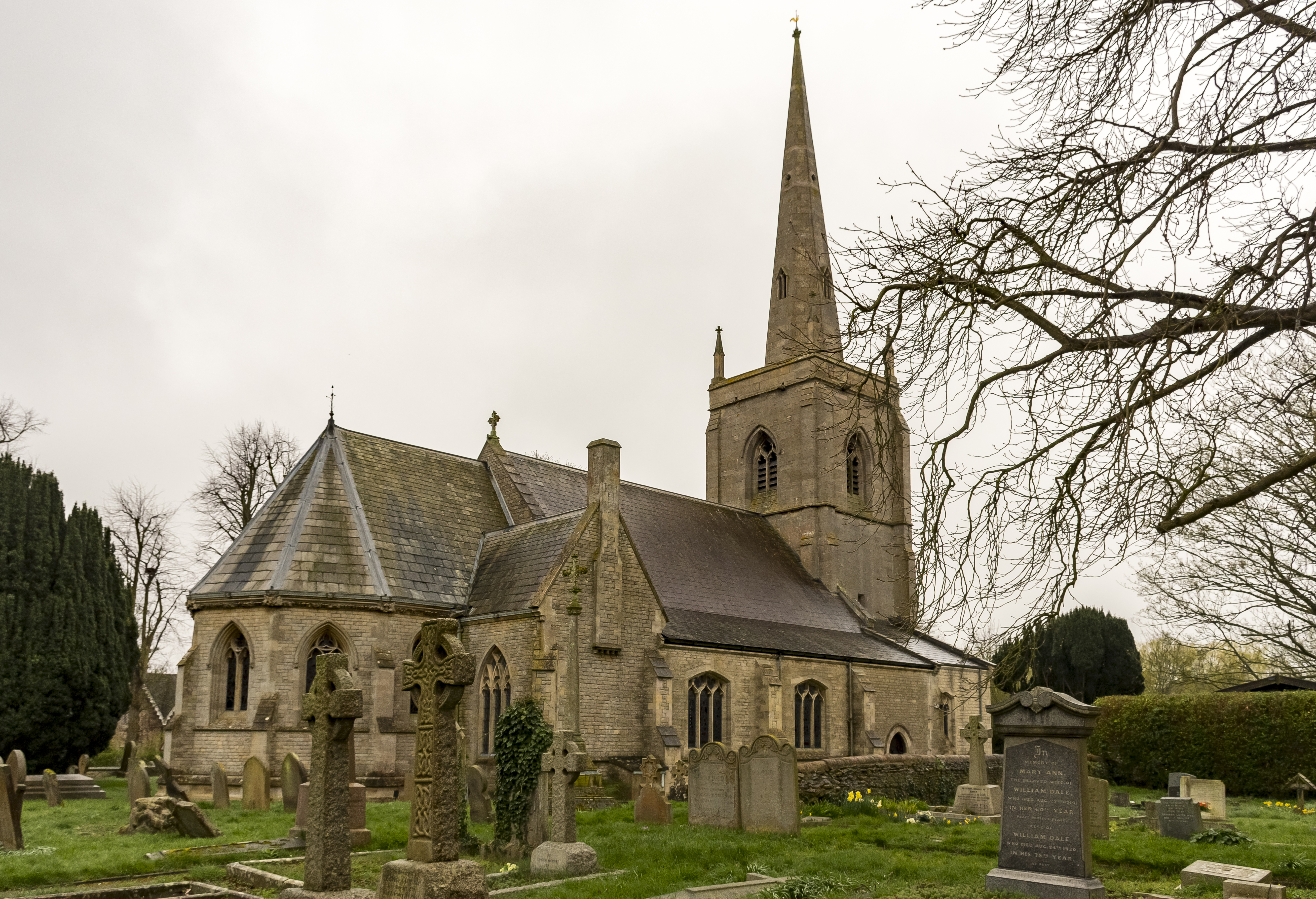
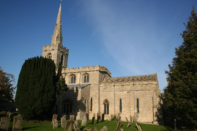
St Botolph's Church, Quarrington

St Botolph's Church is an Anglican church in Quarrington in Lincolnshire, England. The area has been settled since at least the Anglo-Saxon period, and...

Quarrington, Lincolnshire

Quarrington is a village and former civil parish, now part of the civil parish of Sleaford, in the North Kesteven district of Lincolnshire, England. The...

Nearby Amenities

Located within 500m of 52.988931,-0.47308462
Cliff Farm
Place: farm
Source: Bing
Lat/Long: 52.9868701/-0.4737896
Cliff Hill
Natural: peak
Lat/Long: 52.9889315/-0.4748154
The data included in this document is from www.openstreetmap.org. The data is made available under ODbL.

Have you been to Cliff Hill Plantation?

Leave your review of Cliff Hill Plantation below (or comments, questions and feedback).