Chalton Spinney
Wood, Forest in Bedfordshire
England
Chalton Spinney

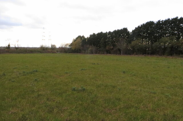
Chalton Spinney, located in Bedfordshire, England, is a small yet enchanting wood located near the village of Chalton. Spread across an area of approximately 20 acres, it is known for its captivating beauty and tranquil atmosphere. The spinney is predominantly made up of native broadleaf trees, including oak, beech, and birch, which form a dense canopy overhead, creating a sense of seclusion and providing shade during the summer months.
The forest floor is blanketed with a diverse range of wildflowers, such as bluebells, primroses, and wood anemones, which add vibrant colors to the woodland during springtime. The presence of these flowers attracts a variety of wildlife, including butterflies, bees, and birds, making it a perfect spot for nature enthusiasts and birdwatchers.
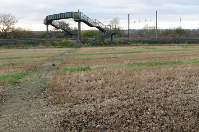
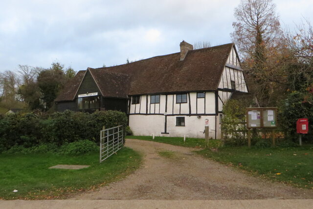
A network of well-maintained footpaths and trails meander through the spinney, allowing visitors to explore and experience the beauty of nature up close. These paths also provide access to the nearby Chalgrave Manor, a historic manor house that dates back to the 13th century.
Chalton Spinney offers a serene and peaceful environment, making it an ideal destination for outdoor activities such as walking, jogging, and picnicking. The wood is managed by local authorities, who ensure its preservation and conservation to maintain its natural beauty and ecological significance.
Overall, Chalton Spinney in Bedfordshire is a picturesque woodland that offers a haven of tranquility and natural splendor, providing visitors with an opportunity to connect with nature and enjoy the serene surroundings.
If you have any feedback on the listing, please let us know in the comments section below.
Chalton Spinney Images
Images are sourced within 2km of 51.939246/-0.50960416 or Grid Reference TL0227. Thanks to Geograph Open Source API. All images are credited.


Chalton Spinney is located at Grid Ref: TL0227 (Lat: 51.939246, Lng: -0.50960416)
Unitary Authority: Central Bedfordshire
Police Authority: Bedfordshire
What 3 Words
///perplexed.indoor.fountain. Near Chalton, Bedfordshire
Nearby Locations
Related Wikis

Fancott Woods and Meadows
Fancott Woods and Meadows is a 13.3-hectare Site of Special Scientific Interest near the hamlet of Fancott in Bedfordshire. It was notified under Section...

Fancott
Fancott is a hamlet located in the Central Bedfordshire district of Bedfordshire, England.The settlement forms part of the Toddington civil parish, and...

Toddington services
Toddington Services is a motorway service station on the M1 motorway between junctions 11A and 12, just north of Luton and Dunstable in Bedfordshire, England...

Sundon Chalk Quarry
Sundon Chalk Quarry is a 26.2-hectare (65-acre) biological Site of Special Scientific Interest in Upper Sundon in Bedfordshire. It was notified in 1989...
Chalton, Bedfordshire
Chalton is a village and civil parish in the Central Bedfordshire district of Bedfordshire, England, immediately north of the Luton/Dunstable conurbation...
Chalgrave Castle
Chalgrave Castle stood to the south of the large village of Toddington, Bedfordshire. This was a timber motte and bailey castle, constructed in two phases...

Church of All Saints, Chalgrave
The Church of All Saints is a Grade I listed church in Chalgrave, Bedfordshire, England. It became a listed building on 3 February 1967. The church, dedicated...
Toddington Castle
Toddington Castle, today known as "Conger Hill Motte", is an artificial earthen mound located in the village of Toddington, in the county of Bedfordshire...
Nearby Amenities
Located within 500m of 51.939246,-0.50960416Have you been to Chalton Spinney?
Leave your review of Chalton Spinney below (or comments, questions and feedback).