Baby Copse
Wood, Forest in Sussex Chichester
England
Baby Copse
Baby Copse is a small woodland area located in Sussex, England. Situated near the village of Copse Green, it covers an approximate area of 10 acres. The copse is primarily composed of deciduous trees, including oak, beech, and ash, which create a lush and vibrant forest ecosystem.
The woodland is known for its natural beauty and tranquility, attracting nature enthusiasts and walkers alike. It offers a variety of walking trails, enabling visitors to explore its diverse flora and fauna. Bluebells and wildflowers carpet the forest floor during the spring, while the changing colors of the leaves make it a picturesque destination in autumn.
The copse is a haven for a wide range of wildlife species. Birdwatchers can spot various avian species, including woodpeckers, owls, and finches. Additionally, small mammals such as squirrels, rabbits, and hedgehogs can be found scurrying among the undergrowth. The copse also provides a habitat for several species of insects, adding to its ecological diversity.
The woodland is well-maintained, with regular conservation efforts to preserve its natural features. Local authorities have implemented measures to protect the copse from development and ensure its long-term sustainability. Visitors are encouraged to follow designated paths to minimize disturbance to the wildlife and vegetation.
Overall, Baby Copse is a hidden gem in Sussex, offering a serene and picturesque escape into nature. Its diverse ecosystem, scenic beauty, and peaceful ambiance make it an ideal destination for those seeking a tranquil woodland experience.
If you have any feedback on the listing, please let us know in the comments section below.
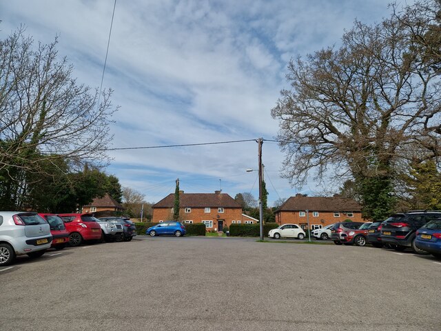
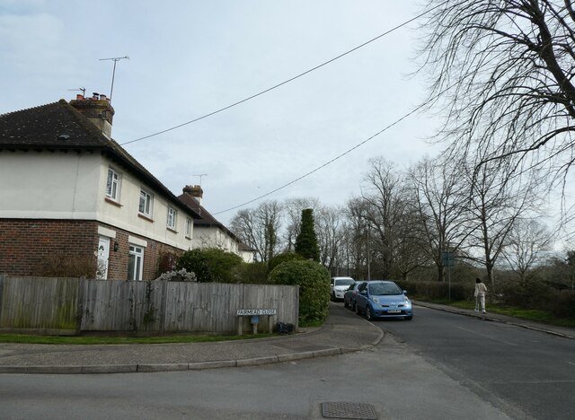
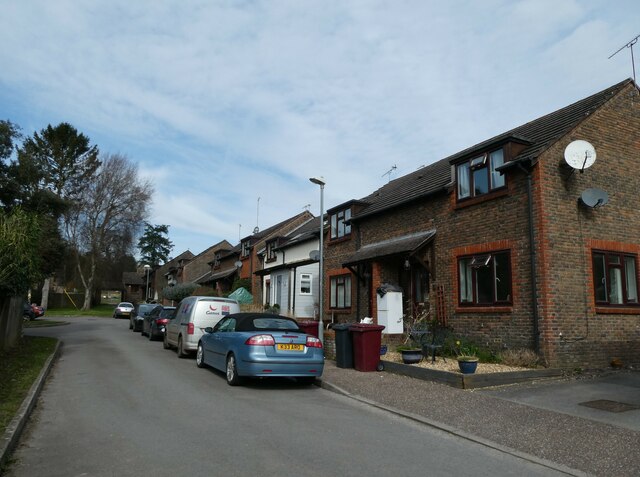
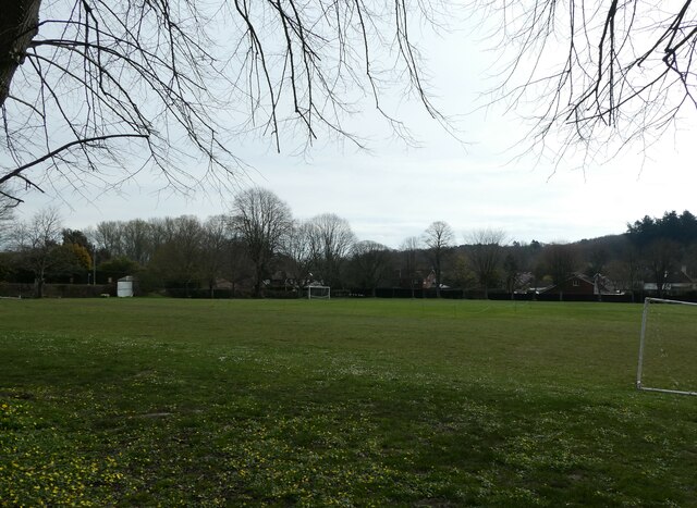
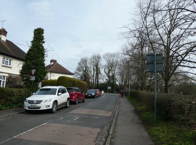
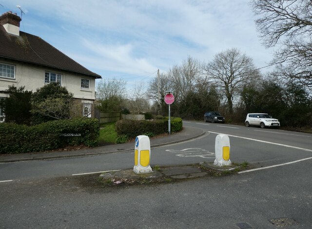
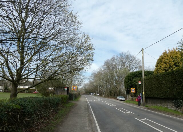
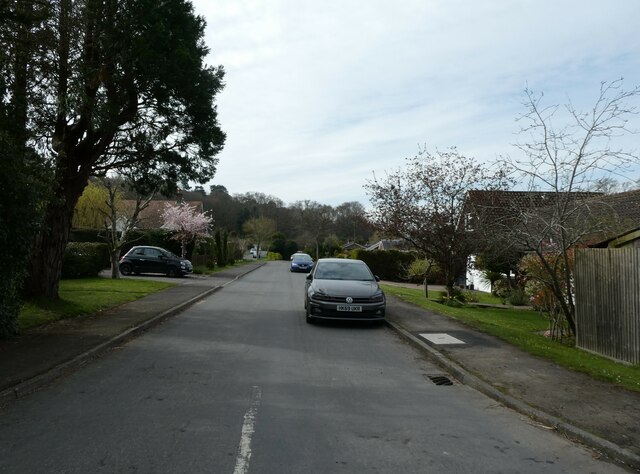
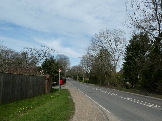
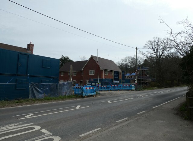
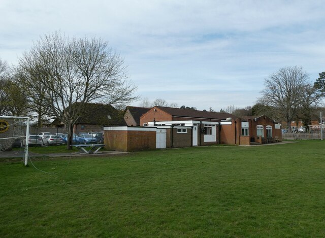
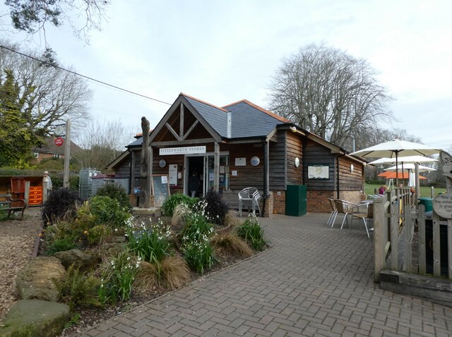
Baby Copse Images
Images are sourced within 2km of 50.956858/-0.54337059 or Grid Reference TQ0218. Thanks to Geograph Open Source API. All images are credited.


Baby Copse is located at Grid Ref: TQ0218 (Lat: 50.956858, Lng: -0.54337059)
Administrative County: West Sussex
District: Chichester
Police Authority: Sussex
What 3 Words
///homeward.locker.blueberry. Near Pulborough, West Sussex
Nearby Locations
Related Wikis
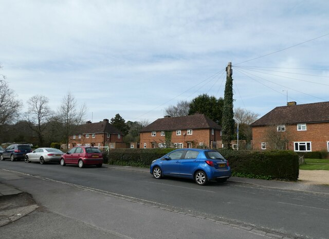
Stopham
Stopham is a hamlet and civil parish in the District of Chichester in West Sussex, England, about 1.5 miles (2.4 km) west of Pulborough on the A283 road...

South Downs Light Railway
The South Downs Light Railway is a 10+1⁄4 in (260 mm) gauge railway at Pulborough in West Sussex, England. The line opened in 2000 (after adjusting the...

River Rother, West Sussex
The River Rother flows from Empshott in Hampshire, England, to Stopham in West Sussex, where it joins the River Arun. At 52 kilometres (32 mi) long, most...

Park Farm Cutting
Park Farm Cutting is a 0.2-hectare (0.49-acre) geological Site of Special Scientific Interest west of Pulborough in West Sussex. It is a Geological Conservation...
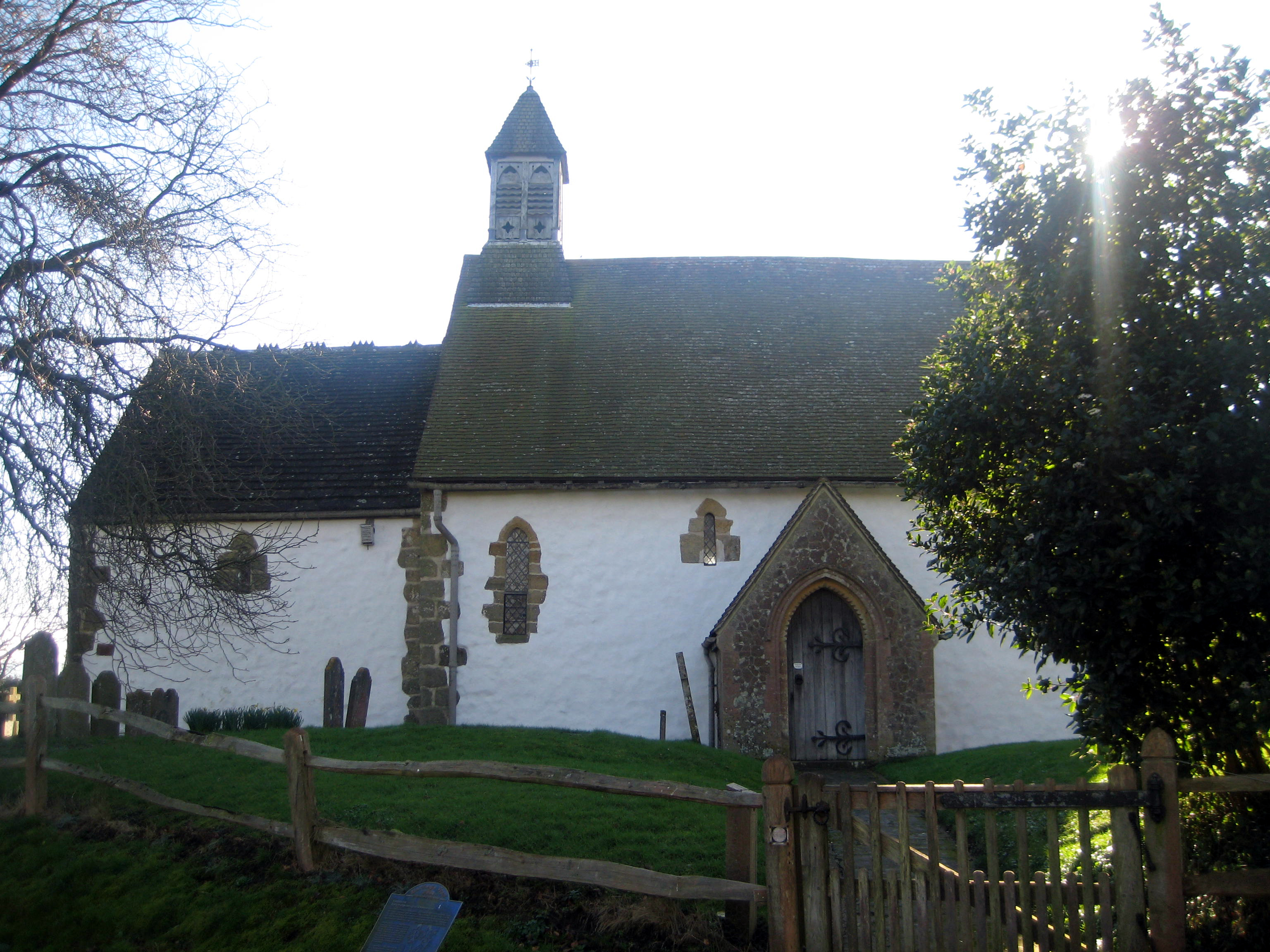
Hardham
Hardham is a small village and former civil parish, now in the parish of Coldwaltham, in the Horsham district of West Sussex, England. It is on the A29...

Fittleworth railway station
Fittleworth railway station served the village of Fittleworth in the county of West Sussex in England. It was on the London Brighton and South Coast Railway...
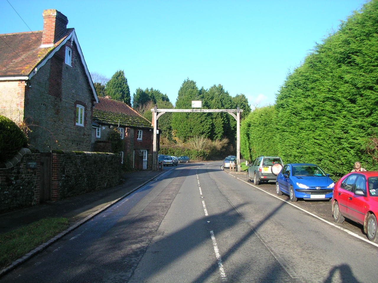
Fittleworth
Fittleworth is a village and civil parish in the District of Chichester in West Sussex, England located seven kilometres (3 miles) west from Pulborough...
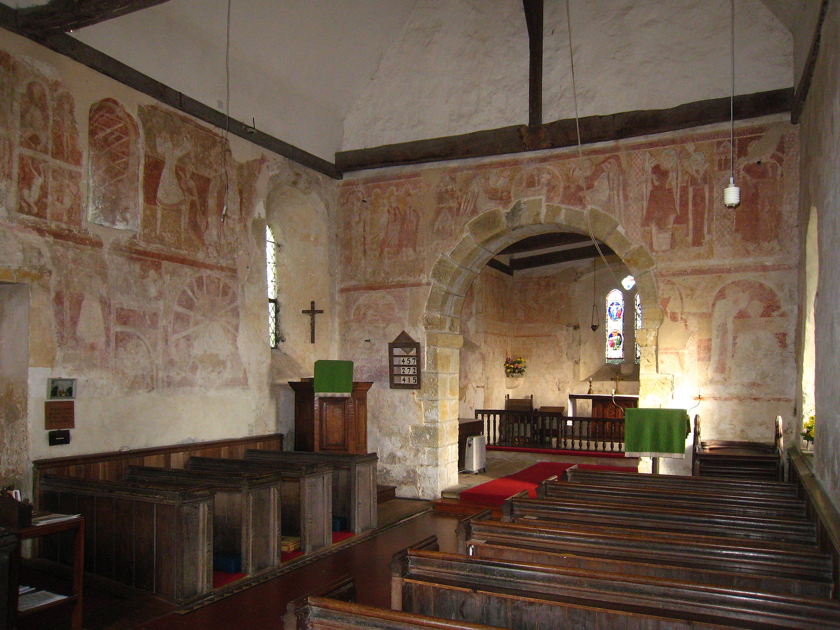
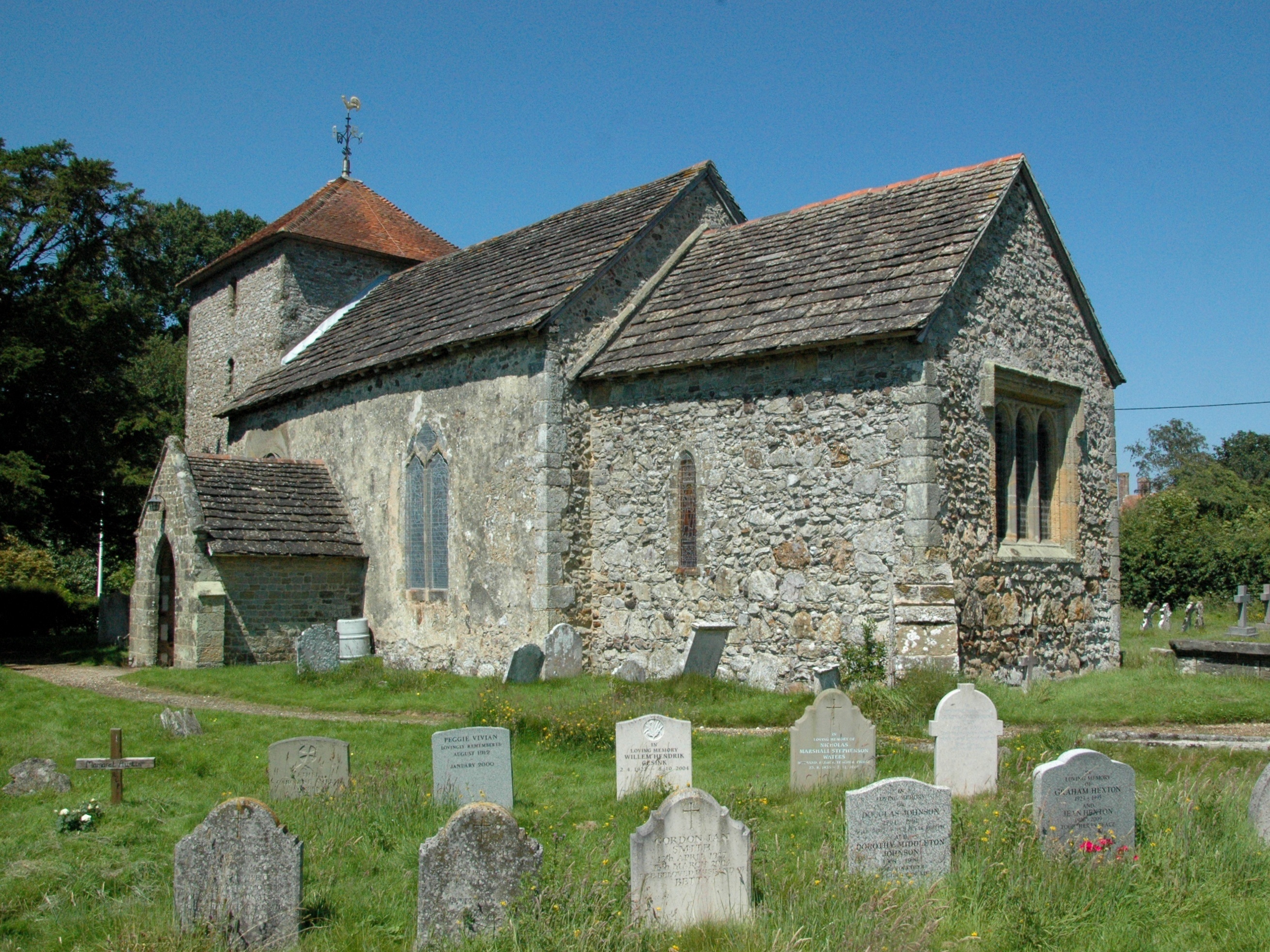
St Botolph's Church, Hardham
St Botolph's Church is the Church of England parish church of Hardham, West Sussex. It is in Horsham District and is a Grade I listed building. It contains...
Nearby Amenities
Located within 500m of 50.956858,-0.54337059Have you been to Baby Copse?
Leave your review of Baby Copse below (or comments, questions and feedback).