Kelby Plantation
Wood, Forest in Lincolnshire North Kesteven
England
Kelby Plantation

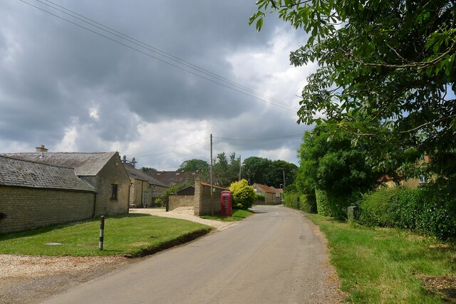
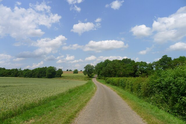
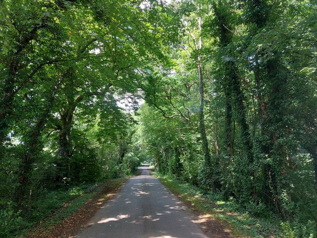
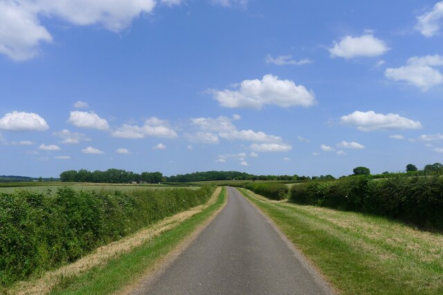
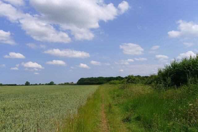
Kelby Plantation is a picturesque woodland area located in Lincolnshire, England. Situated near the village of Kelby, this plantation covers an expansive area and is renowned for its natural beauty and diverse ecosystem. The plantation is predominantly made up of deciduous trees, including oak, beech, and birch, which create a stunning canopy of lush green foliage during the summer months.
The woodland is home to a wide range of wildlife, making it a popular destination for nature enthusiasts and bird watchers. Visitors have the opportunity to spot a variety of bird species, such as woodpeckers, jays, and owls, as well as small mammals like foxes, badgers, and squirrels. The plantation also boasts a rich variety of flora, with wildflowers blooming in abundance during the springtime.
Kelby Plantation offers several walking trails and pathways, allowing visitors to explore its enchanting surroundings. The trails meander through the woodland, providing breathtaking views and opportunities for peaceful contemplation. Additionally, the plantation is equipped with picnic areas and benches, making it an ideal spot for a family outing or a leisurely lunch amidst nature.
The plantation is well-maintained by local authorities and conservation organizations, ensuring the preservation of its natural beauty. Efforts have been made to protect the woodland and maintain its ecological balance, making it a haven for both plants and animals.
Overall, Kelby Plantation in Lincolnshire offers a tranquil escape from the hustle and bustle of everyday life. Its stunning woodland, diverse wildlife, and scenic walking trails make it a must-visit destination for nature lovers and those seeking a peaceful retreat amidst the beauty of nature.
If you have any feedback on the listing, please let us know in the comments section below.
Kelby Plantation Images
Images are sourced within 2km of 52.967799/-0.47759677 or Grid Reference TF0242. Thanks to Geograph Open Source API. All images are credited.


Kelby Plantation is located at Grid Ref: TF0242 (Lat: 52.967799, Lng: -0.47759677)
Administrative County: Lincolnshire
District: North Kesteven
Police Authority: Lincolnshire
What 3 Words
///spaceship.tiny.dumps. Near Ancaster, Lincolnshire
Nearby Locations
Related Wikis

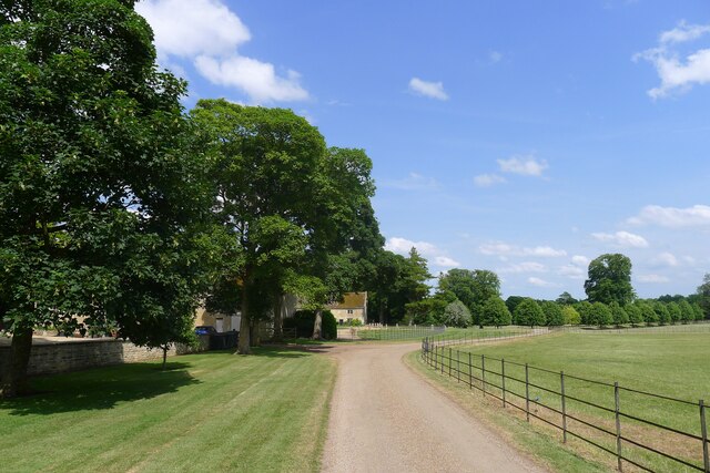
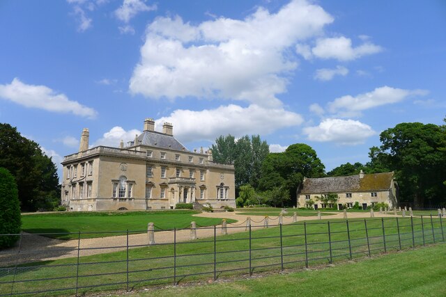
Culverthorpe Hall
Culverthorpe Hall, Culverthorpe, Lincolnshire, England is an 18th-century country house. It is a Grade I listed building. == History == In the 17th century...

Culverthorpe
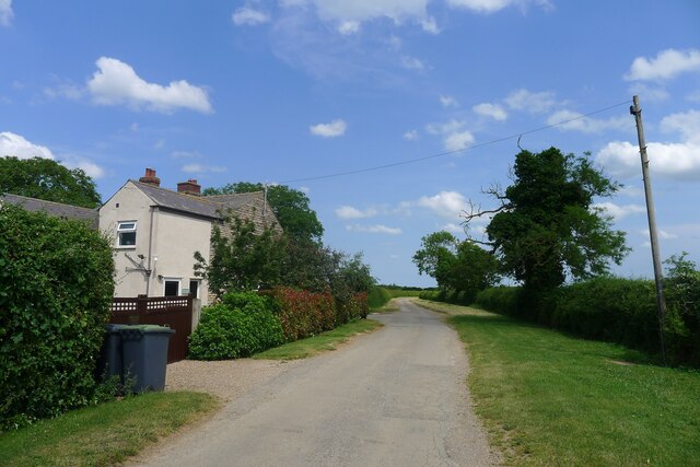
Culverthorpe is a hamlet in the civil parish of Culverthorpe and Kelby, in the North Kesteven district of Lincolnshire, England. It lies 5 miles (8 km...

Kelby
Kelby is a hamlet in the North Kesteven district of Lincolnshire, England. It lies 5 miles (8 km) south-west from Sleaford, 9 miles (14 km) north-east...

Wilsford, Lincolnshire
Wilsford is a village and civil parish in the North Kesteven district of Lincolnshire, England. The population of the civil parish was 400 at the 2011...

Rauceby railway station
Rauceby railway station is a station near the town of Sleaford, Lincolnshire, England, lying close to the western border of the Parish of Old Sleaford...

Rauceby Hospital
Rauceby Hospital, originally called Kesteven County Asylum, is a now-defunct mental institution in the parish of Quarrington, Lincolnshire, England. Originally...

Swarby
Swarby is a village and former civil parish in the North Kesteven district of Lincolnshire, England, approximately 3 miles (5 km) south-southwest of Sleaford...
Heydour
Heydour is a hamlet and civil parish in the South Kesteven district of Lincolnshire, England. The parish population of 286 at the 2001 census rose to 311...
Nearby Amenities
Located within 500m of 52.967799,-0.47759677Have you been to Kelby Plantation?
Leave your review of Kelby Plantation below (or comments, questions and feedback).