Great Wood
Wood, Forest in Surrey Runnymede
England
Great Wood
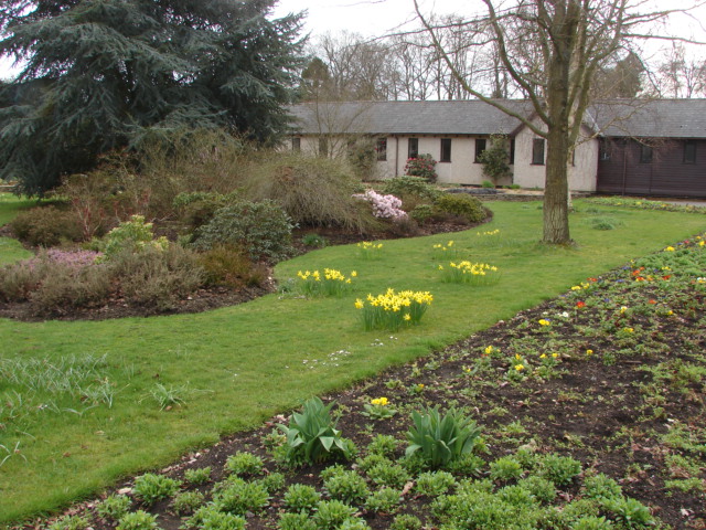
Great Wood, Surrey, also known as simply "Great Wood," is a magnificent forest located in the county of Surrey, England. Covering an expansive area of land, this woodland is a popular destination for nature enthusiasts and outdoor adventurers.
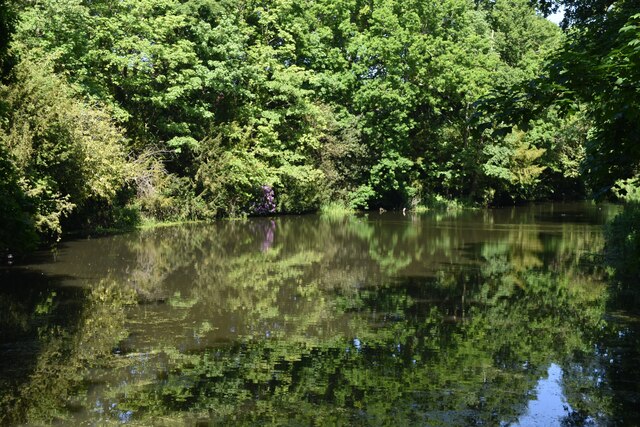
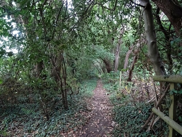
The forest is home to a diverse range of flora and fauna, making it a haven for biodiversity. Ancient and towering oak trees dominate the landscape, their branches reaching towards the sky, while beech and birch trees provide a contrasting green canopy. Bluebells carpet the forest floor during spring, creating a stunning visual display.
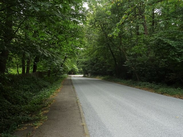
Great Wood offers a variety of walking trails and paths that wind through its enchanting scenery, allowing visitors to immerse themselves in the tranquility and beauty of the natural surroundings. For those seeking a more challenging adventure, there are also cycling and mountain biking trails available.
The forest is not only a recreational space but also an important habitat for wildlife. Various species of birds, including woodpeckers, owls, and jays, can be spotted amongst the treetops. Squirrels and deer are commonly seen roaming the forest floor, adding to the sense of wilderness and natural wonder.
Moreover, the wood provides an opportunity for educational experiences, with interpretive signs and information boards scattered throughout, providing insights into the local ecology and history of the area.
Great Wood, Surrey, is a cherished natural gem, offering a peaceful retreat from the hustle and bustle of everyday life. Whether it's for leisurely walks, wildlife observation, or simply enjoying the serenity of nature, this woodland is a must-visit destination for all who appreciate the beauty of the great outdoors.
If you have any feedback on the listing, please let us know in the comments section below.
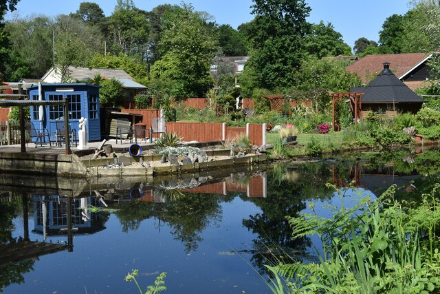
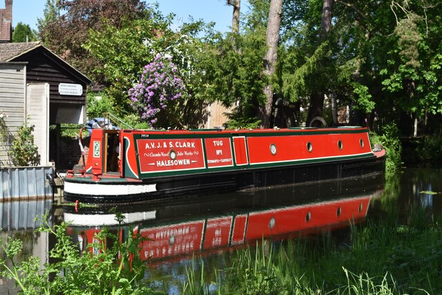
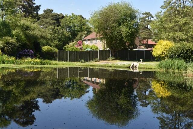
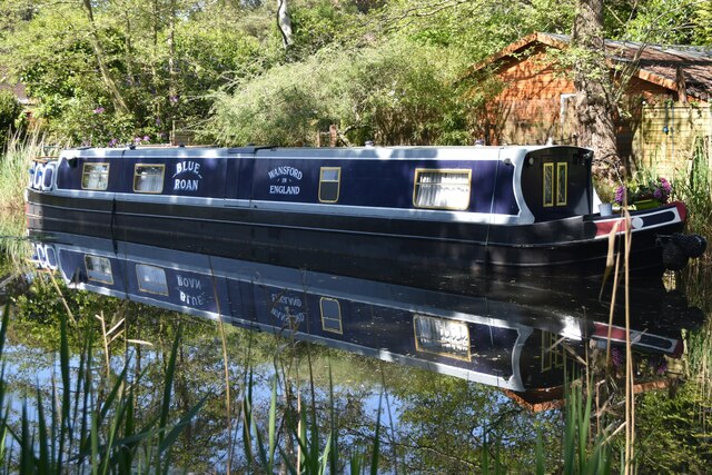
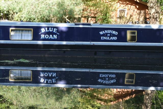
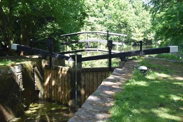
Great Wood Images
Images are sourced within 2km of 51.352995/-0.53276841 or Grid Reference TQ0262. Thanks to Geograph Open Source API. All images are credited.


Great Wood is located at Grid Ref: TQ0262 (Lat: 51.352995, Lng: -0.53276841)
Administrative County: Surrey
District: Runnymede
Police Authority: Surrey
What 3 Words
///chose.nests.horn. Near Ottershaw, Surrey
Nearby Locations
Related Wikis

Christ Church, Ottershaw
Christ Church, Ottershaw is a Church of England church on Guildford Road in the village of Ottershaw in the Runnymede district of Surrey, England, about...

Ottershaw School
Ottershaw School was founded in 1948 as an English school for boys in Ottershaw Park, Ottershaw, approximately 30 miles (48 km) southwest of London between...
McLaren Group
McLaren Group Limited is a British holding company based in Woking, England, which is involved in Formula One and other motorsport and the manufacture...

McLaren Technology Centre
The McLaren Technology Centre is the headquarters of the McLaren Group and its subsidiaries, located on a 500,000 m2 (50 ha) site in Woking, Surrey, England...
Woodham, Surrey
Woodham is a suburban village in Surrey next to New Haw and contiguous with two suburbs of Woking: Sheerwater and West Byfleet. == Amenities == === Pubs... ===
Ottershaw
Ottershaw is a village in the Borough of Runnymede in Surrey, England, approximately 32 km (20 mi) southwest of central London. The village developed in...

Queenwood Golf Club
Queenwood Golf Club is a golf club near Ottershaw in Surrey, England. The club is only open to members and their guests.The club was developed by the American...
Sheerwater F.C.
Sheerwater F.C. are a Non-League football club who are based in Sheerwater, in Woking, Surrey, England. They play their home fixtures at the Eastwood Centre...
Nearby Amenities
Located within 500m of 51.352995,-0.53276841Have you been to Great Wood?
Leave your review of Great Wood below (or comments, questions and feedback).