Burrow's Spinney
Wood, Forest in Lincolnshire North Kesteven
England
Burrow's Spinney

The requested URL returned error: 429 Too Many Requests
If you have any feedback on the listing, please let us know in the comments section below.
Burrow's Spinney Images
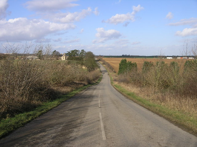
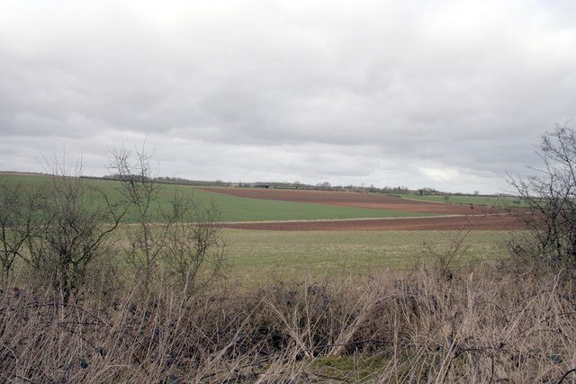
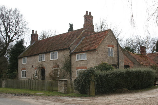
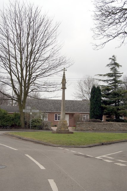
Images are sourced within 2km of 53.015036/-0.47994472 or Grid Reference TF0247. Thanks to Geograph Open Source API. All images are credited.


Burrow's Spinney is located at Grid Ref: TF0247 (Lat: 53.015036, Lng: -0.47994472)
Administrative County: Lincolnshire
District: North Kesteven
Police Authority: Lincolnshire
What 3 Words
///coder.hoops.spelling. Near Cranwell, Lincolnshire
Nearby Locations
Related Wikis

North Rauceby
North Rauceby is a village and civil parish in the North Kesteven district of Lincolnshire, England. It is situated 4 miles (6 km) north-west from Sleaford...

No. 16 Squadron RAF
Number 16 Squadron Royal Air Force, nicknamed 'the Saints', is a flying squadron of the Royal Air Force (RAF) who currently provide elementary flying training...

RAF Cranwell
Royal Air Force Cranwell or more simply RAF Cranwell (ICAO: EGYD) is a Royal Air Force station in Lincolnshire, England, close to the village of Cranwell...

South Rauceby Hall
South Rauceby Hall, South Rauceby, Lincolnshire, England is a country house dating from the mid-19th century. It was designed by William Burn in 1842 for...
Nearby Amenities
Located within 500m of 53.015036,-0.47994472Have you been to Burrow's Spinney?
Leave your review of Burrow's Spinney below (or comments, questions and feedback).