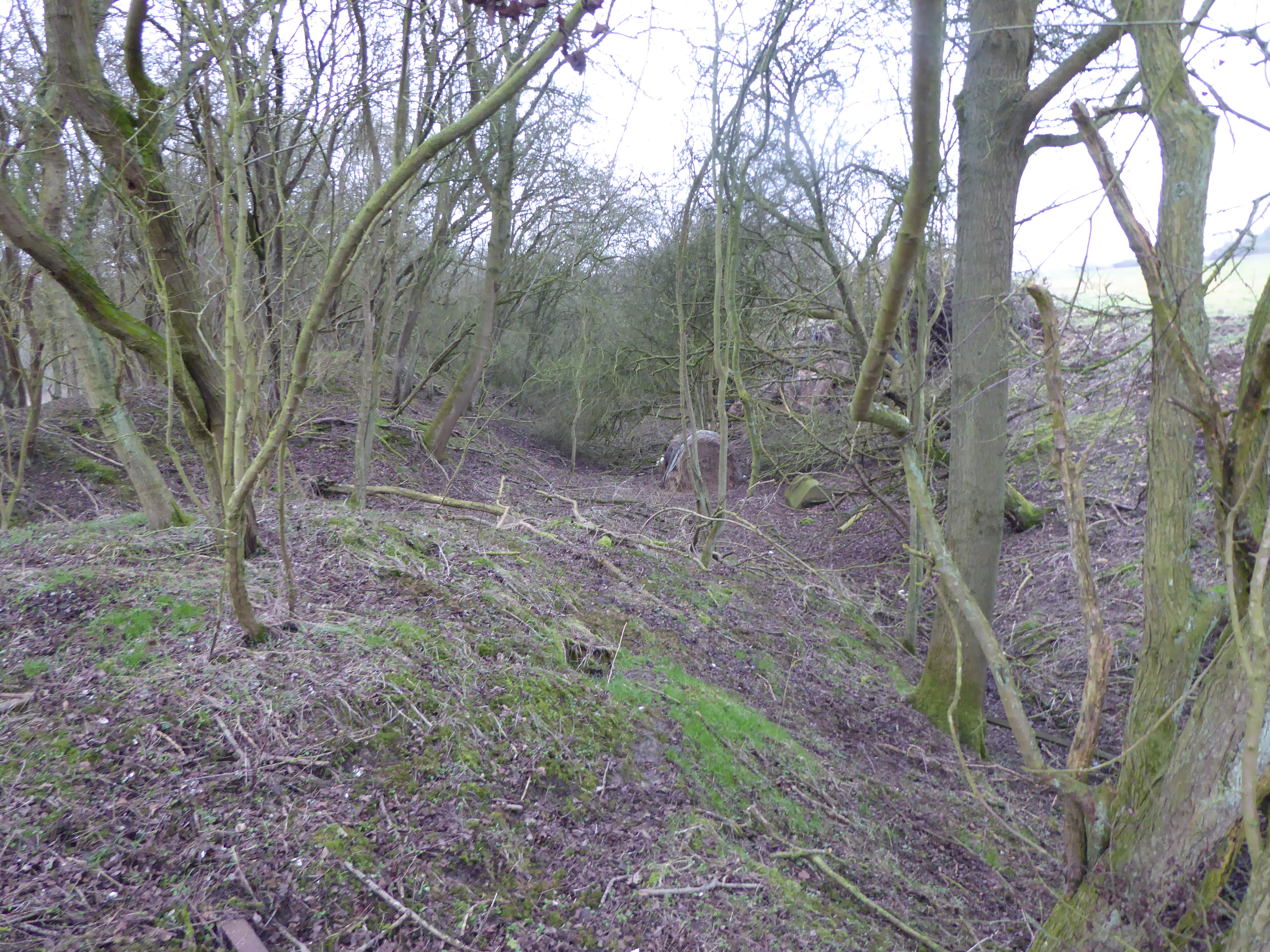
Denford Old Ash
Wood, Forest in Northamptonshire
England
Denford Old Ash

The requested URL returned error: 429 Too Many Requests
If you have any feedback on the listing, please let us know in the comments section below.
Denford Old Ash Images
Images are sourced within 2km of 52.375762/-0.50410492 or Grid Reference TL0176. Thanks to Geograph Open Source API. All images are credited.


Denford Old Ash is located at Grid Ref: TL0176 (Lat: 52.375762, Lng: -0.50410492)
Unitary Authority: North Northamptonshire
Police Authority: Northamptonshire
What 3 Words
///handsets.timidly.nitrate. Near Thrapston, Northamptonshire
Nearby Locations
Related Wikis
Thrapston Station Quarry
Thrapston Station Quarry is a 4.5-hectare (11-acre) geological Site of Special Scientific Interest south of Thrapston in Northamptonshire. It is a Geological...

Denford
Denford is a small village and civil parish situated in North Northamptonshire, England. At the time of the 2001 census, the parish population was 250...
Raunds railway station
Raunds railway station is a railway station that once served the town of Raunds in Northamptonshire, England. The railway station was an intermediate stop...

Thrapston Midland Road railway station
Thrapston Midland Road railway station is a former railway station on the Kettering, Thrapston and Huntingdon Railway line from Kettering. The station...
Nearby Amenities
Located within 500m of 52.375762,-0.50410492Have you been to Denford Old Ash?
Leave your review of Denford Old Ash below (or comments, questions and feedback).