Brown's Spring

Wood, Forest in Hertfordshire Dacorum

England

Brown's Spring

Old cottages on Roman Road, Nettleden
Old cottages on Roman Road, Nettleden Credit: David Howard

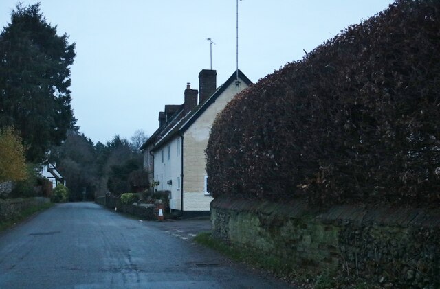
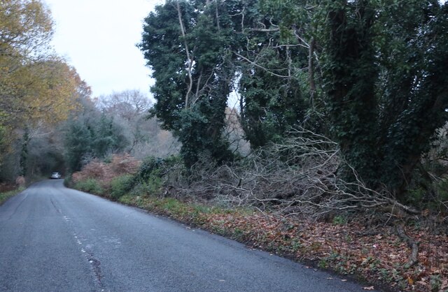
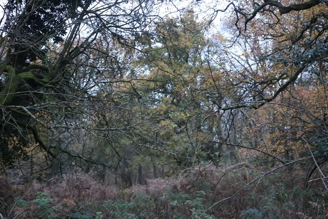
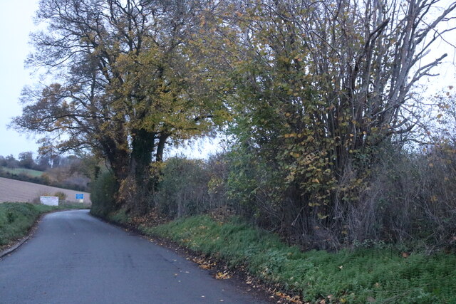
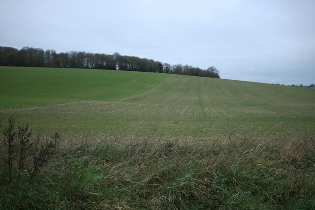
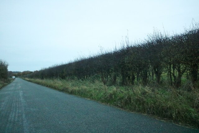
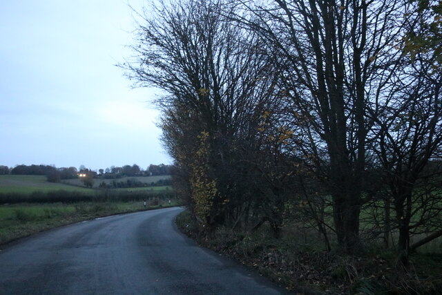
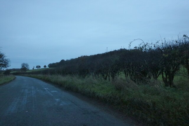
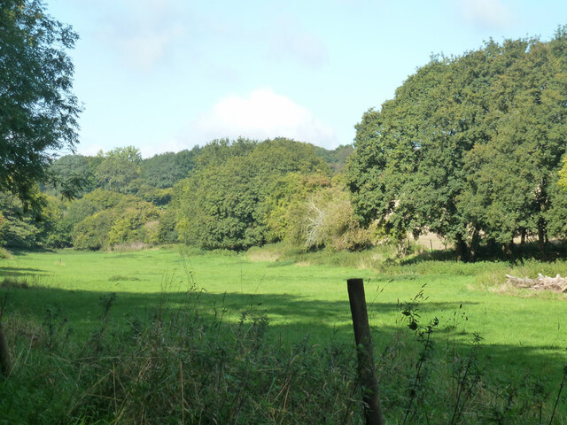
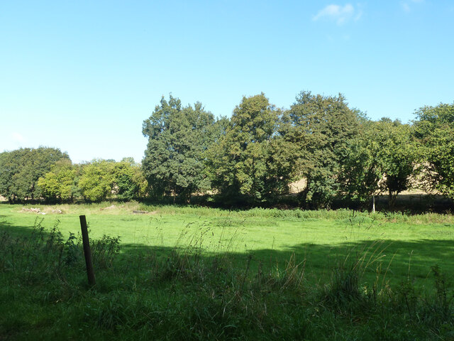
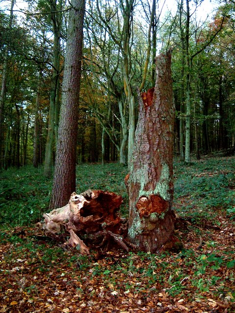
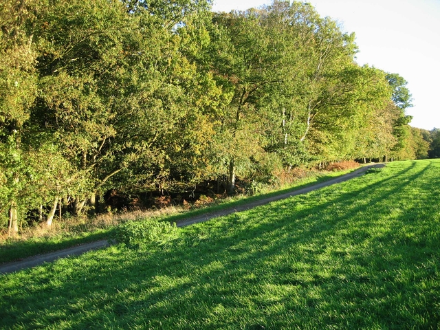
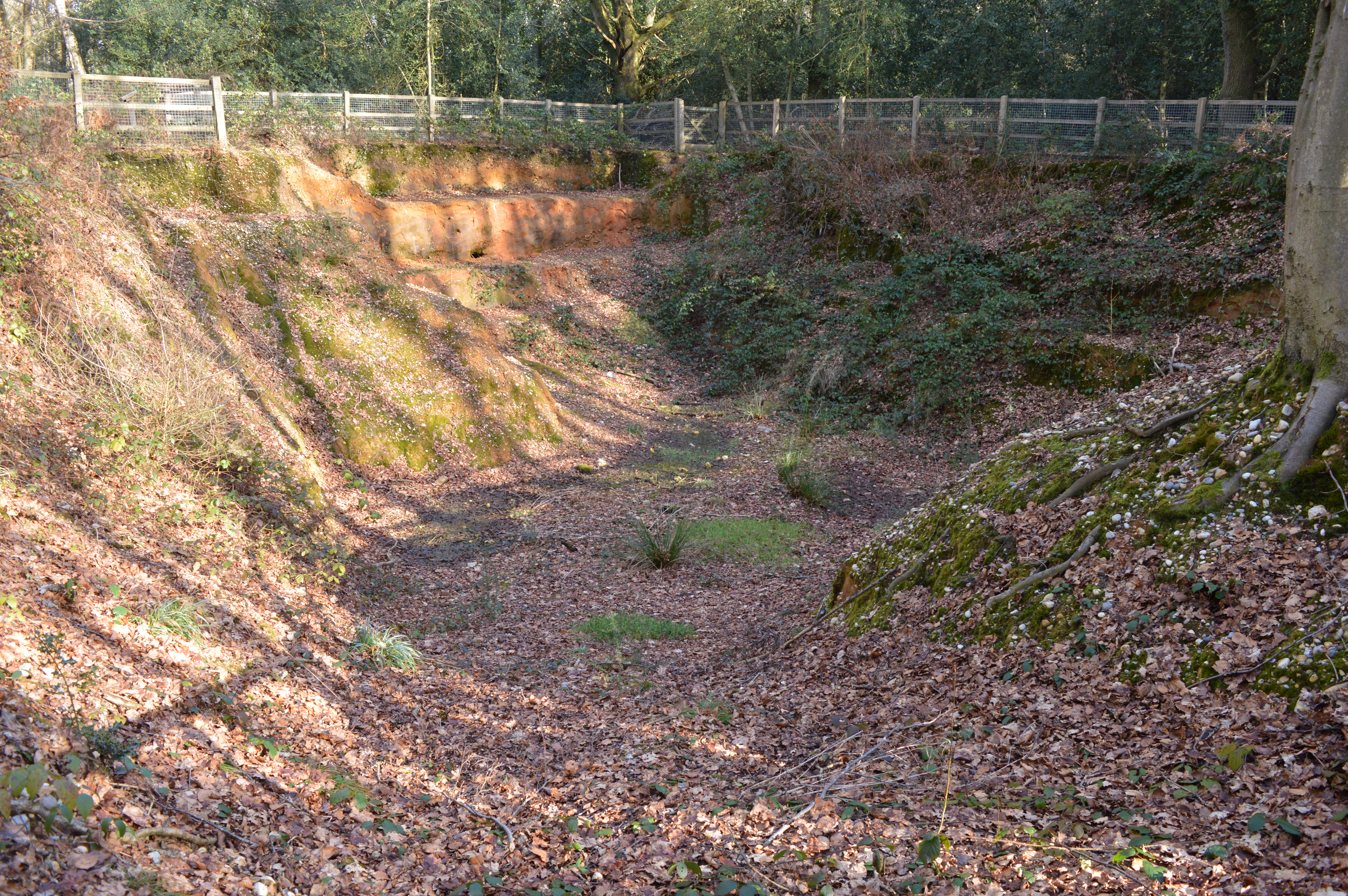
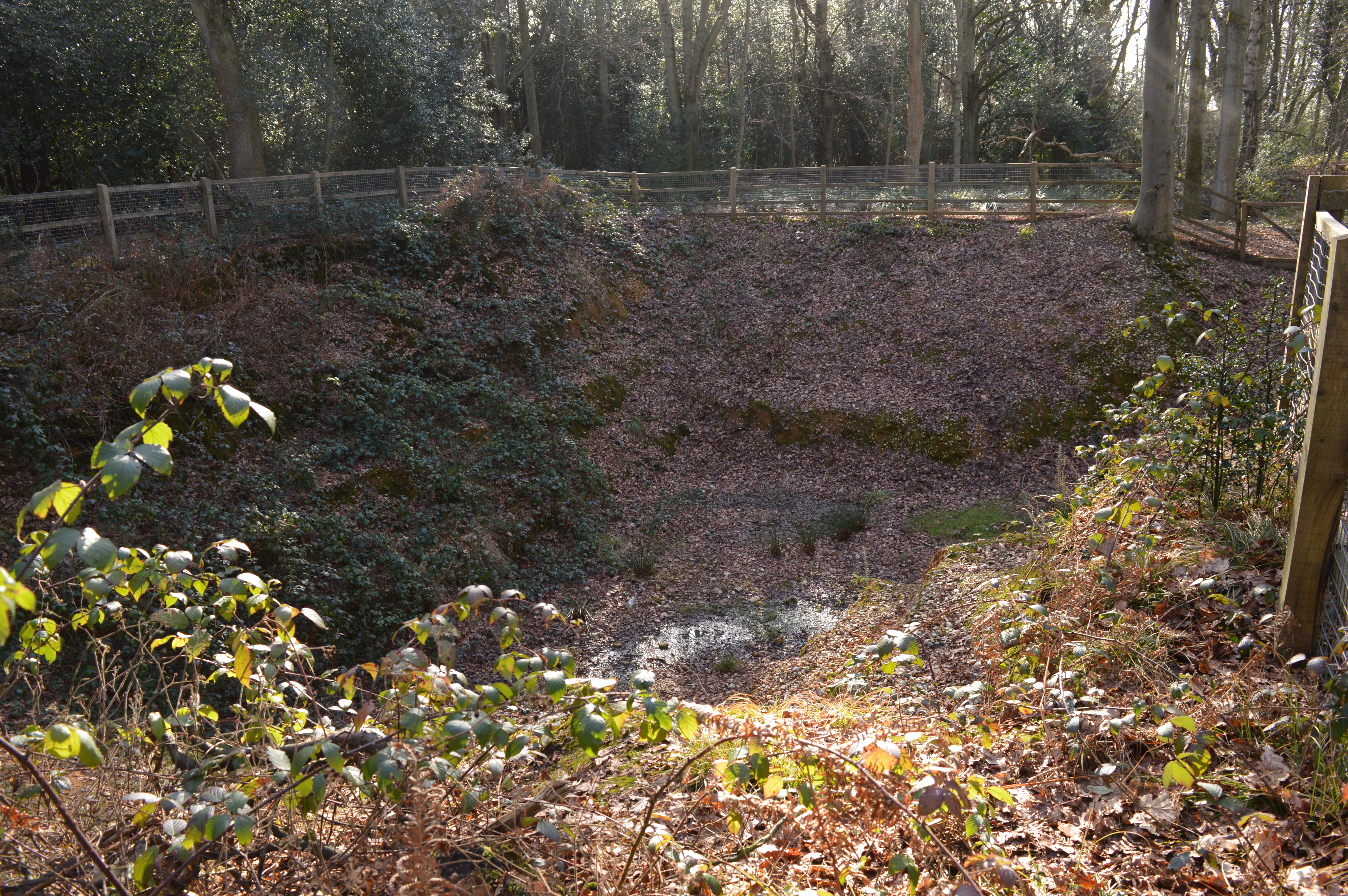
Brown's Spring is a picturesque woodland located in Hertfordshire, England. It is known for its natural beauty, serene atmosphere, and diverse range of flora and fauna. The woodland covers a vast area and is a popular destination for nature enthusiasts, hikers, and birdwatchers.

The spring itself is a small water source that emerges from beneath the ground, giving the woodland its name. The crystal-clear water flows gently through the forest, creating a tranquil and soothing ambiance. The surrounding lush greenery and tall trees provide a perfect habitat for a variety of wildlife, including deer, squirrels, rabbits, and a myriad of bird species.

The woodland is crisscrossed with well-maintained footpaths, allowing visitors to explore and immerse themselves in the natural surroundings. The trails wind through the dense forest, offering breathtaking views of ancient trees, vibrant wildflowers, and occasional glimpses of wildlife.

Brown's Spring is particularly enchanting during the spring season when the woodland comes alive with a riot of colors. The forest floor is carpeted with bluebells, creating a magical and ethereal setting. The scent of the flowers fills the air, and the melodious songs of birds can be heard throughout the woods.

The management of Brown's Spring prioritizes conservation and sustainability, ensuring that the woodland remains unspoiled and protected for future generations to enjoy. It is a cherished natural treasure in Hertfordshire, offering a peaceful respite from the hustle and bustle of daily life.

If you have any feedback on the listing, please let us know in the comments section below.

Brown's Spring Images

Images are sourced within 2km of 51.773525/-0.52417177 or Grid Reference TL0109. Thanks to Geograph Open Source API. All images are credited.

Old cottages on Roman Road, Nettleden
Nettleden Road
Nettleden Road
St Lawrence Church, Nettleden
Nettleden Road
Nettleden Road
Hillingdon Road, Frithsden
Frithsden Beeches
Frithsden Beeches
Field in Nettleden Those are not sheep, they are llamas.
Field in Nettleden
Those are not sheep, they are llamas.
Nettleden Road
Nettleden Road
Field in Water End Looking towards Highpark Wood.
Field in Water End
Looking towards Highpark Wood.
Nettleden Road, Water End
Nettleden Road
Nettleden Road
Nettleden Road
Nettleden Road
Narrow field along bottom west of Frithsden
Nettleden Road From Nettleden towards Little Gaddesden.
Nettleden Road
From Nettleden towards Little Gaddesden.
Sheep between Nettleden & Little Gaddesden Sheep in a field next to the road between Nettleden & Little Gaddesden. Thanks to the farmer who invited me into the field to get a better shot of his sheep.
Sheep between Nettleden & Little Gaddesden
Sheep in a field next to the road between Nettleden & Little Gaddesden. Thanks to the farmer who invited me into the field to get a better shot of his sheep.
Nettleden Church The church in the village of Nettleden. Note the "missing roof" on the near end.
More information about Nettleden and its church here <span class="nowrap"><a title="http://www.british-history.ac.uk/report.asp?compid=43285#s1" rel="nofollow ugc noopener" href="http://www.british-history.ac.uk/report.asp?compid=43285#s1">Link</a><img style="margin-left:2px;" alt="External link" title="External link - shift click to open in new window" src="https://s1.geograph.org.uk/img/external.png" width="10" height="10"/></span>
Nettleden Church
The church in the village of Nettleden. Note the "missing roof" on the near end. More information about Nettleden and its church here LinkExternal link
Old Tree, Frithsden Woods This old decaying tree stump is in the woods (Great Frithsden Copse) opposite Frithsden Gardens, a disparate row cottages and houses on the lane from Ashridge to Frithsden.
Old Tree, Frithsden Woods
This old decaying tree stump is in the woods (Great Frithsden Copse) opposite Frithsden Gardens, a disparate row cottages and houses on the lane from Ashridge to Frithsden.
Show me another place!

Brown's Spring is located at Grid Ref: TL0109 (Lat: 51.773525, Lng: -0.52417177)

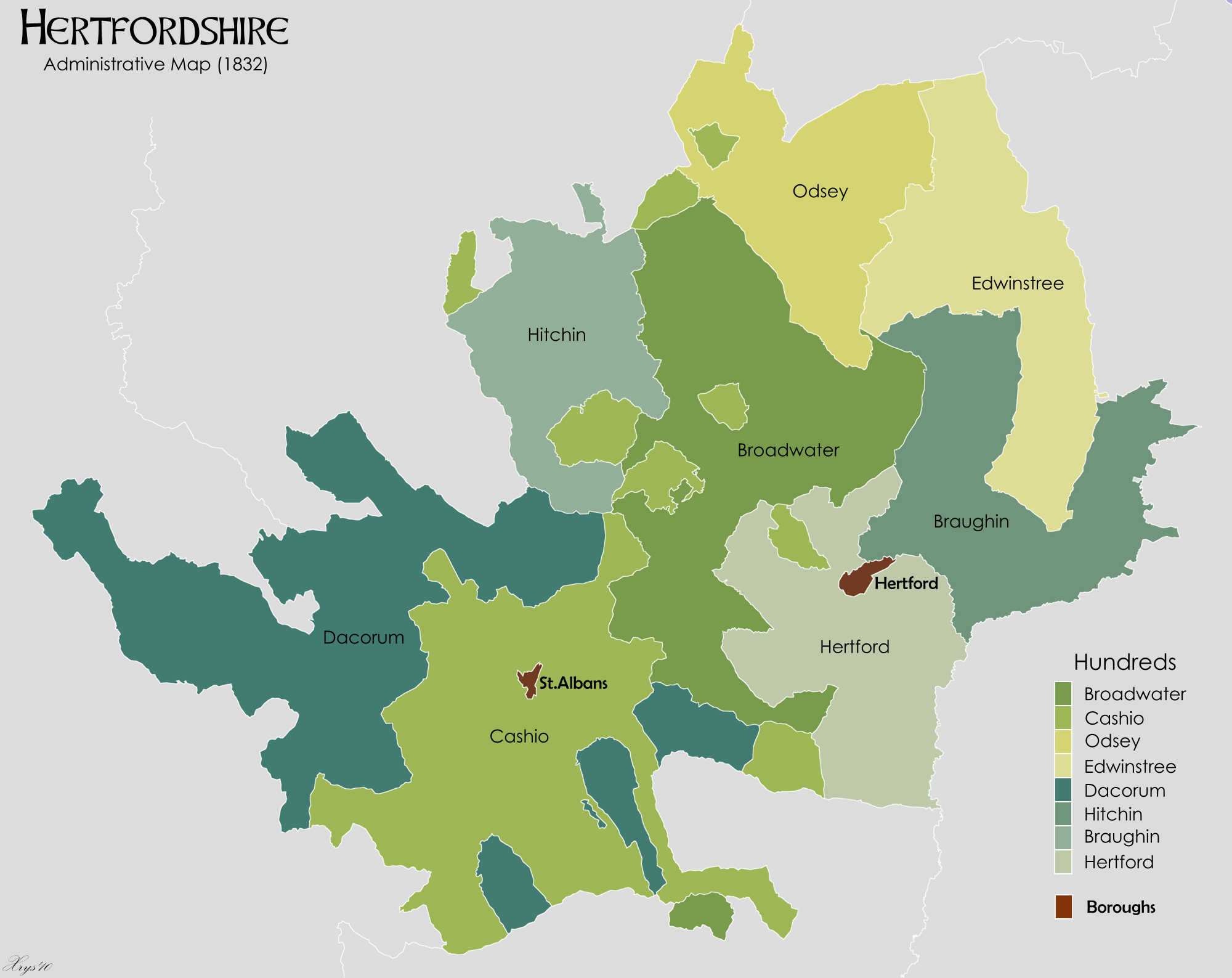
Administrative County: Hertfordshire

District: Dacorum

Police Authority: Hertfordshire

What 3 Words

///pounds.asset.brain. Near Berkhamsted, Hertfordshire

Related Wikis

Nettleden with Potten End

Nettleden with Potten End is a civil parish in Hertfordshire, England, covering the villages of Potten End and Nettleden and the surrounding rural area...

Frithsden

Frithsden is a small hamlet in Hertfordshire, England. It is located in the Chiltern Hills, about two miles north of Berkhamsted, to which it belongs...

Potten End

Potten End is a village in west Hertfordshire, England. It is located in the Chiltern Hills, two miles (3.2 km) east-north-east of Berkhamsted, three miles...

Danais (hundred)

Danais (Latinised as Dacorum) Hundred was a judicial and taxation subdivision (a hundred) of Hertfordshire, in the west of the county, that existed from...

Dacorum

Dacorum is a local government district with borough status in Hertfordshire, England. The council is based in Hemel Hempstead. The borough also includes...

Nettleden

Nettleden is a village and former civil parish, now in the parish of Nettleden with Potten End, in the Dacorum district, in the county of Hertfordshire...

Little Heath, near Hemel Hempstead, Hertfordshire

Little Heath is a partly wooded area with scattered housing, just south of the village of Potten End, Hertfordshire, England. It represents the top of...

Little Heath Pit

Little Heath Pit is a 0.3-hectare (0.74-acre) geological Site of Special Scientific Interest at Little Heath near Potten End in Hertfordshire. It is part...

Nearby Amenities

Located within 500m of 51.773525,-0.52417177
Turning Loop
Lat/Long: 51.7732369/-0.5301847
Turning Circle
Lat/Long: 51.7733599/-0.5205664
Turning Circle
Lat/Long: 51.7730536/-0.5191788
Browns Spring
Local Ref: NR
Naptan AtcoCode: 210021408025
Naptan Bearing: NE
Naptan BusStopType: CUS
Naptan CommonName: Browns Spring
Naptan Crossing: Browns Spring
Naptan Indicator: nr
Naptan Landmark: Browns Spring
Naptan NaptanCode: hrtdjapj
Naptan ShortCommonName: NA
Naptan Street: Water End Road
Naptan Verified: no
Source: naptan_import
Lat/Long: 51.7719296/-0.520548
Olivers Close
Local Ref: NR
Naptan AtcoCode: 210021408030
Naptan Bearing: E
Naptan BusStopType: CUS
Naptan CommonName: Olivers Close
Naptan Crossing: Olivers Close
Naptan Indicator: nr
Naptan Landmark: Olivers Close
Naptan NaptanCode: hrtdjapm
Naptan ShortCommonName: NA
Naptan Street: Water End Road
Naptan Verified: no
Source: naptan_import
Lat/Long: 51.7723384/-0.5187374
Post Box
Collection Times: Mo-Fr 16:00; Sa 09:45
Description: Outside village store.
Operator: Royal Mail
Post Box Type: pillar
Ref: HP4 11
Lat/Long: 51.7705731/-0.527088
Post Box
Collection Times: Mo-Fr 16:15; Sa 08:45
Operator: Royal Mail
Post Box Type: pillar
Ref: HP4 32
Royal Cypher: EIIR
Royal Cypher Wikidata: Q33102113
Source: survey
Survey Date: 2015-04-12
Lat/Long: 51.7722739/-0.5192845
Access: yes
Leisure: playground
Lat/Long: 51.7715633/-0.5268315
Power: pole
Lat/Long: 51.7757236/-0.5194044
Parking
Access: customers
Fee: no
Parking: surface
Lat/Long: 51.7700735/-0.5283604
Animal Shelter
Folly's Farm Home of Rest for Donkeys and Ponies
Lat/Long: 51.7768599/-0.5223509
Direction: 220
Generator Method: photovoltaic
Generator Output Electricity: yes
Generator Solar Modules: 11
Generator Source: solar
Generator Type: solar_photovoltaic_panel
Location: roof
Power: generator
Lat/Long: 51.7724764/-0.5213054
Direction: 210
Generator Method: photovoltaic
Generator Output Electricity: yes
Generator Solar Modules: 6
Generator Source: solar
Generator Type: solar_photovoltaic_panel
Location: roof
Power: generator
Lat/Long: 51.7731984/-0.5212145
Bench
Backrest: yes
Material: wood
Lat/Long: 51.7717193/-0.5231763
Bench
Backrest: no
Material: wood
Lat/Long: 51.7721301/-0.5226499
Bench
Backrest: yes
Material: wood
Lat/Long: 51.7749382/-0.5221155
The data included in this document is from www.openstreetmap.org. The data is made available under ODbL.

Have you been to Brown's Spring?

Leave your review of Brown's Spring below (or comments, questions and feedback).