Fan Grove

Wood, Forest in Surrey Runnymede

England

Fan Grove

Footpath through woodland Towards Guildford Road.
Footpath through woodland Credit: JThomas

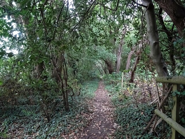
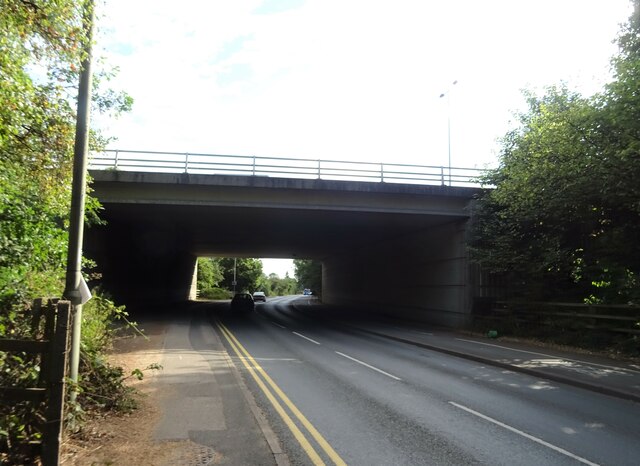
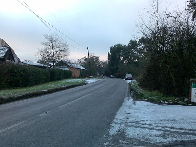
Fan Grove is a picturesque woodland located in Surrey, England. Situated near the village of Fan Grove, the forest covers an area of approximately 100 hectares. It is known for its dense and ancient woodlands, making it a popular destination for nature enthusiasts and hikers alike.

The grove is predominantly made up of deciduous trees, including oak, beech, and birch, which create a vibrant and ever-changing landscape throughout the year. The forest floor is covered with a rich carpet of moss, ferns, and wildflowers, adding to its natural beauty.

Walking through Fan Grove, visitors can explore a network of well-maintained trails that wind through the forest, offering stunning views of the surrounding countryside. These trails cater to all levels of fitness and provide opportunities for both leisurely strolls and more challenging hikes.

The grove is also home to a diverse range of wildlife, including deer, foxes, and a variety of bird species. Birdwatchers can delight in spotting species such as woodpeckers, owls, and various songbirds.

Fan Grove also offers recreational facilities, including picnic areas and designated camping spots. These amenities make it an ideal location for family outings and outdoor activities.

Overall, Fan Grove is a tranquil and enchanting woodland, providing a serene escape from the bustling city life. Its natural beauty, diverse ecosystem, and recreational offerings make it a must-visit destination for nature lovers in Surrey.

If you have any feedback on the listing, please let us know in the comments section below.

Fan Grove Images

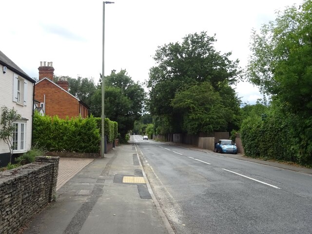
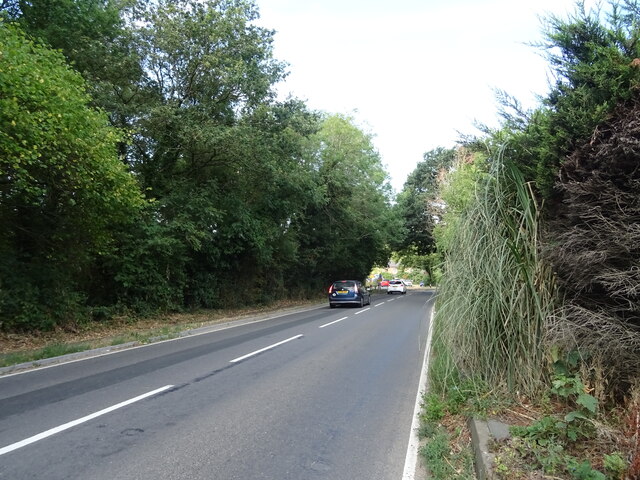
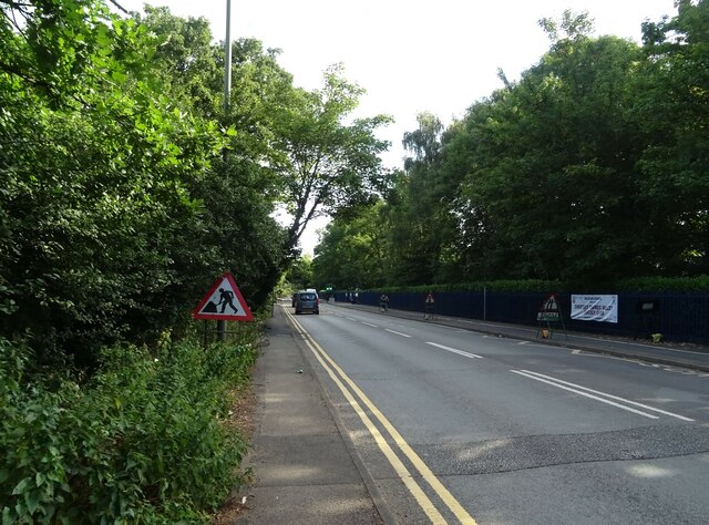
Images are sourced within 2km of 51.380459/-0.53727905 or Grid Reference TQ0165. Thanks to Geograph Open Source API. All images are credited.

Footpath through woodland Towards Guildford Road.
Footpath through woodland
Towards Guildford Road.
Murray Road (B3121) Footpath goes off to the right - <a href="https://www.geograph.org.uk/photo/7244012">TQ0264 : Footpath through woodland</a>
Murray Road (B3121)
Footpath goes off to the right - TQ0264 : Footpath through woodland
Miller and Carter Steakhouse, Ottershaw Formerly the Otter public house.
Miller and Carter Steakhouse, Ottershaw
Formerly the Otter public house.
A320, Ottershaw Towards Woking.
A320, Ottershaw
Towards Woking.
Roundabout on the A320, Ottershaw
Chobham Road (A319)
Chobham Road (A319)
Elizabeth II postbox on Chobham Road, Ottershaw Postbox No. KT16 194.
See <a href="https://www.geograph.org.uk/photo/7244659">TQ0263 : Estate Agents on Chobham Road, Ottershaw</a> for context.
Elizabeth II postbox on Chobham Road, Ottershaw
Postbox No. KT16 194. See TQ0263 : Estate Agents on Chobham Road, Ottershaw for context.
Estate Agents on Chobham Road, Ottershaw Showing position of Postbox No. KT16 194.
See <a href="https://www.geograph.org.uk/photo/7244658">TQ0263 : Elizabeth II postbox on Chobham Road, Ottershaw</a> for postbox.
Estate Agents on Chobham Road, Ottershaw
Showing position of Postbox No. KT16 194. See TQ0263 : Elizabeth II postbox on Chobham Road, Ottershaw for postbox.
Farmland near Fox Cottage
House on Longcross Road (B386)
Longcross Road (B386) Towards Addlestone.
Longcross Road (B386)
Towards Addlestone.
Gateway off Longcross Road (B386)
Longcross Road (B386) Towards Chertsey Common.
Longcross Road (B386)
Towards Chertsey Common.
Lyne Lane
Lyne Lane
World of Water Aquatic Centre
B386 towards Chertsey Common
Roadworks on Guildford Road (A320)
M25 Motorway bridge over Guildford Road (A320)
Show me another place!

Fan Grove is located at Grid Ref: TQ0165 (Lat: 51.380459, Lng: -0.53727905)

Administrative County: Surrey

District: Runnymede

Police Authority: Surrey

What 3 Words

///charmingly.spoke.combining. Near Ottershaw, Surrey

Nearby Locations

Fan Grove

Related Wikis

Hardwick Court Farm

Hardwick Court Farm, Hardwick Court when a manor, is a large farm with farmhouse in the west of Chertsey, Surrey, England and was first established during...

Botleys Mansion

Botleys Mansion is a Palladian mansion house in the south of Chertsey, Surrey, England, just south of St Peter's Hospital. The house was built in the...

Lyne, Surrey

Lyne is a village in the Borough of Runnymede in Surrey, England, approximately 32 km (20 mi) southwest of central London. In the early 13th century, the...

St Peter's Hospital, Chertsey

St Peter's Hospital is an NHS district general hospital in Chertsey, Surrey, England. It has 400 beds and a wide range of acute care services, including...

Great Cockcrow Railway

The Great Cockcrow Railway is a 7+1⁄4 in (184 mm) gauge miniature railway located near Chertsey, Surrey, England. It is usually open on Sunday afternoons...

Salesian School, Chertsey

Salesian School is a split-site Roman Catholic comprehensive secondary school in Chertsey, Surrey. The two sites were originally a pair of single-sex education...

Foxhills Golf Club

Foxhills is a golf club and resort located in Ottershaw, Surrey, United Kingdom. It was established in 1975 and named for Charles James Fox on whose former...

Chertsey branch line

The Chertsey branch line connects Virginia Water station on the Waterloo to Reading main line to Weybridge station on the Waterloo to Woking main line...

Nearby Amenities

Located within 500m of 51.380459,-0.53727905
Barrier: height_restrictor
Maxheight: 6.75"
Lat/Long: 51.3764217/-0.5356615
Silverlands Farm
Landuse: farm
Note Retag: CS #48756035
Source: OS_OpenData_StreetView
Lat/Long: 51.3783764/-0.5348434
Oakleaf Farm
Landuse: farm
Note Retag: CS #48756035
Source: OS_OpenData_StreetView
Lat/Long: 51.3798433/-0.5421605
Five Oaks Farm
Place: locality
Lat/Long: 51.3818525/-0.5437491
Fox Hills Farm
Place: locality
Lat/Long: 51.3801223/-0.5429654
Oakleaf Farm
Place: locality
Lat/Long: 51.3796539/-0.542045
Parking
Access: customers
Lat/Long: 51.3785478/-0.5324426
Colour: white
Marker: post
Material: concrete
Utility: oil
Lat/Long: 51.3787216/-0.5402253
Colour: white
Marker: post
Material: concrete
Utility: oil
Lat/Long: 51.378757/-0.5403177
Colour: yellow
Marker: post
Material: concrete
Utility: gas
Lat/Long: 51.3784997/-0.5397022
Colour: yellow
Marker: post
Material: plastic
Utility: gas
Lat/Long: 51.3785485/-0.539657
Colour: white
Marker: post
Material: concrete
Utility: oil
Lat/Long: 51.3784953/-0.5396954
Colour: white
Marker: post
Material: concrete
Utility: oil
Lat/Long: 51.378544/-0.5396502
Colour: white
Marker: post
Material: concrete
Utility: oil
Lat/Long: 51.378476/-0.5396473
Colour: white
Marker: post
Material: concrete
Utility: oil
Lat/Long: 51.378524/-0.5395975
Colour: white
Marker: post
Material: concrete
Utility: oil
Lat/Long: 51.3787231/-0.5400427
Colour: white
Marker: aerial
Material: concrete
Utility: oil
Lat/Long: 51.3787222/-0.5400308
The data included in this document is from www.openstreetmap.org. The data is made available under ODbL.

Have you been to Fan Grove?

Leave your review of Fan Grove below (or comments, questions and feedback).