Warren Barn Copse

Wood, Forest in Sussex Chichester

England

Warren Barn Copse

Woodland at Arundel Holt
Woodland at Arundel Holt Credit: Martyn Pattison

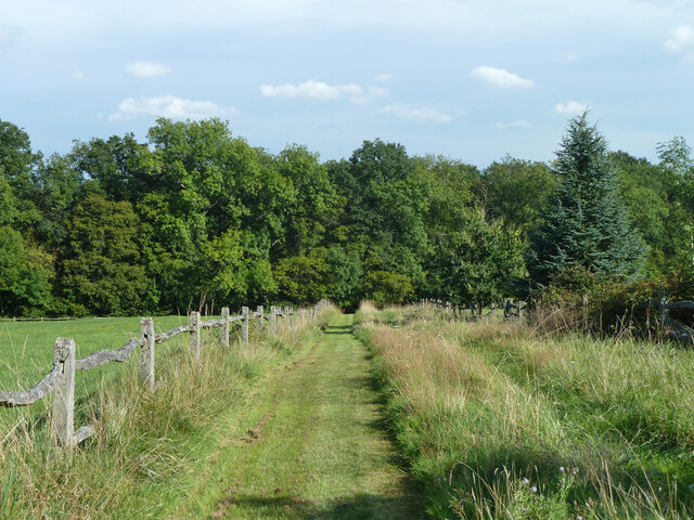
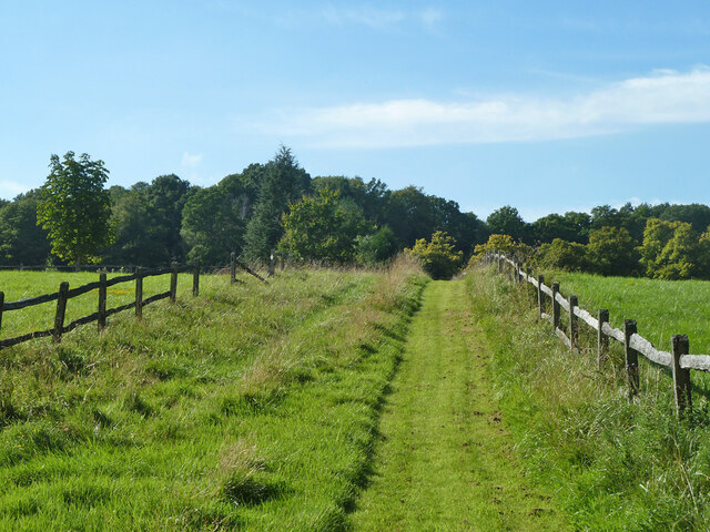
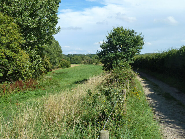
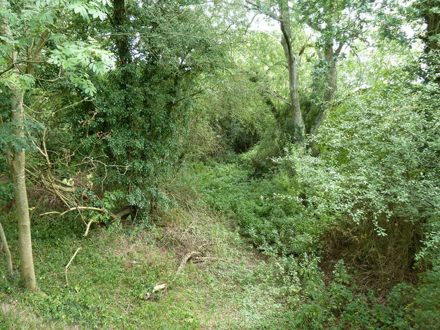
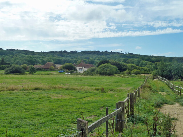
Warren Barn Copse is a picturesque woodland located in Sussex, England. Spread over an area of approximately 50 acres, this enchanting forest is a delight for nature enthusiasts and outdoor adventurers alike. The copse is situated near the village of Warren, nestled within the South Downs National Park.

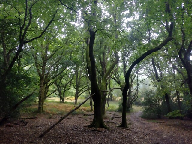
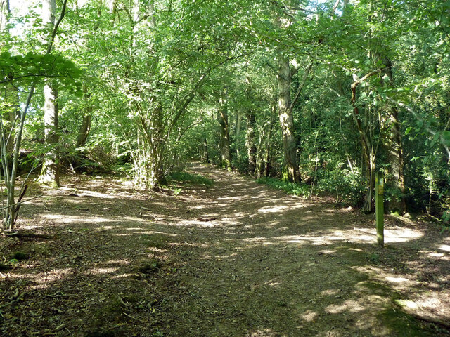
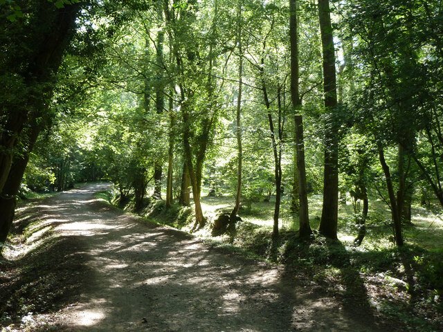
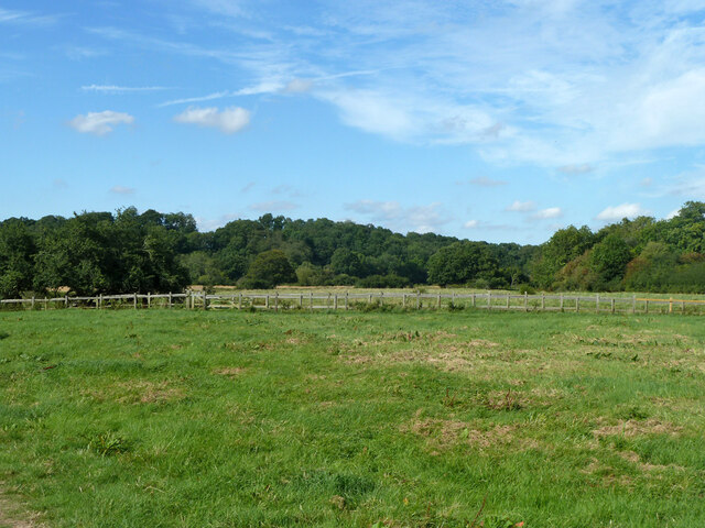
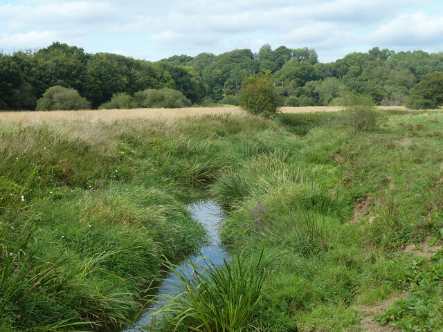
This ancient woodland boasts a diverse range of flora and fauna, providing a habitat for many indigenous species. Towering oak and beech trees dominate the landscape, their branches intertwining to create a lush canopy that filters sunlight and casts a serene ambiance. The forest floor is carpeted with a rich tapestry of wildflowers, ferns, and mosses, painting a vibrant scene throughout the seasons.

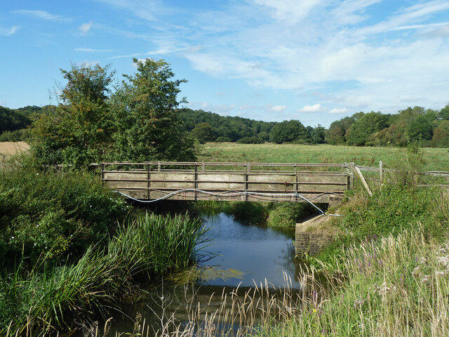
The woodland is crisscrossed by a network of walking trails, offering visitors the opportunity to explore its hidden treasures. Meandering through Warren Barn Copse, one can stumble upon babbling brooks, small ponds, and clearings adorned with wild berries and mushrooms. The tranquil atmosphere of the copse provides an ideal setting for birdwatching, with the melodious songs of various avian species filling the air.

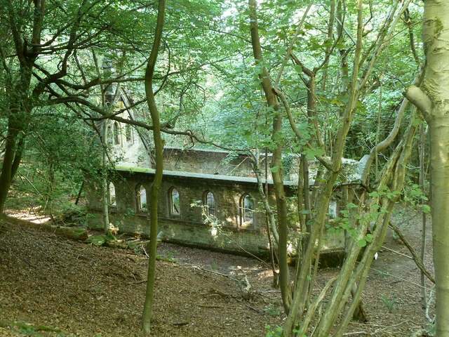
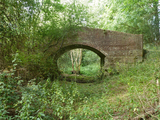
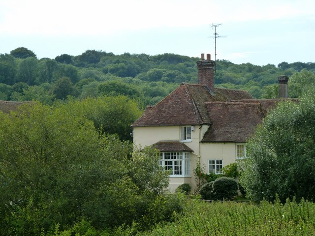
Warren Barn Copse is also a site of historical significance. The remains of an ancient barn, dating back to the 16th century, can be found within the woodland. This structure adds a touch of mystique to the area, allowing visitors to imagine the lives of those who once inhabited this beautiful landscape.

Whether seeking solace in nature, embarking on a scenic hike, or immersing oneself in history, Warren Barn Copse offers a serene and captivating experience for all who venture into its embrace.

If you have any feedback on the listing, please let us know in the comments section below.

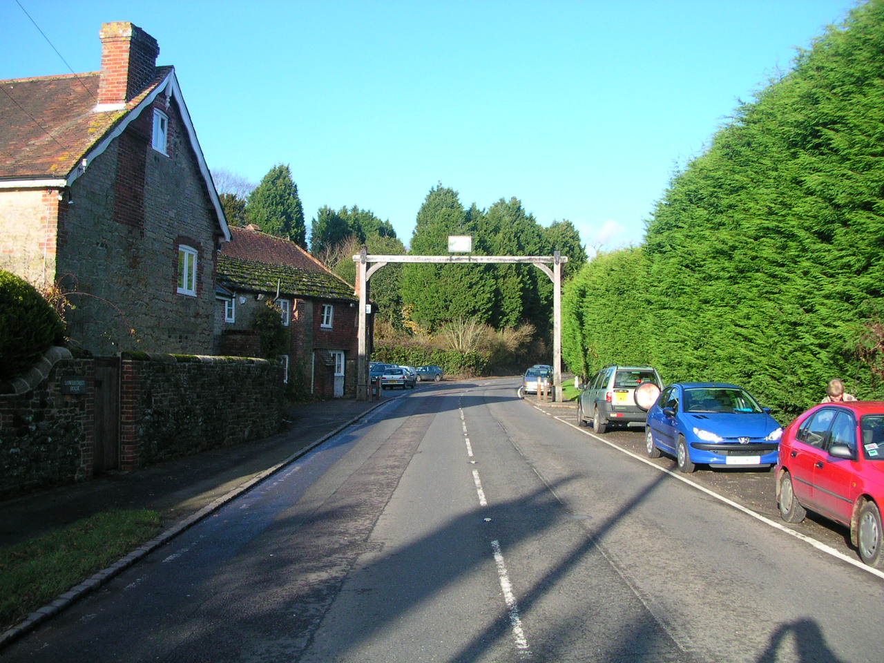
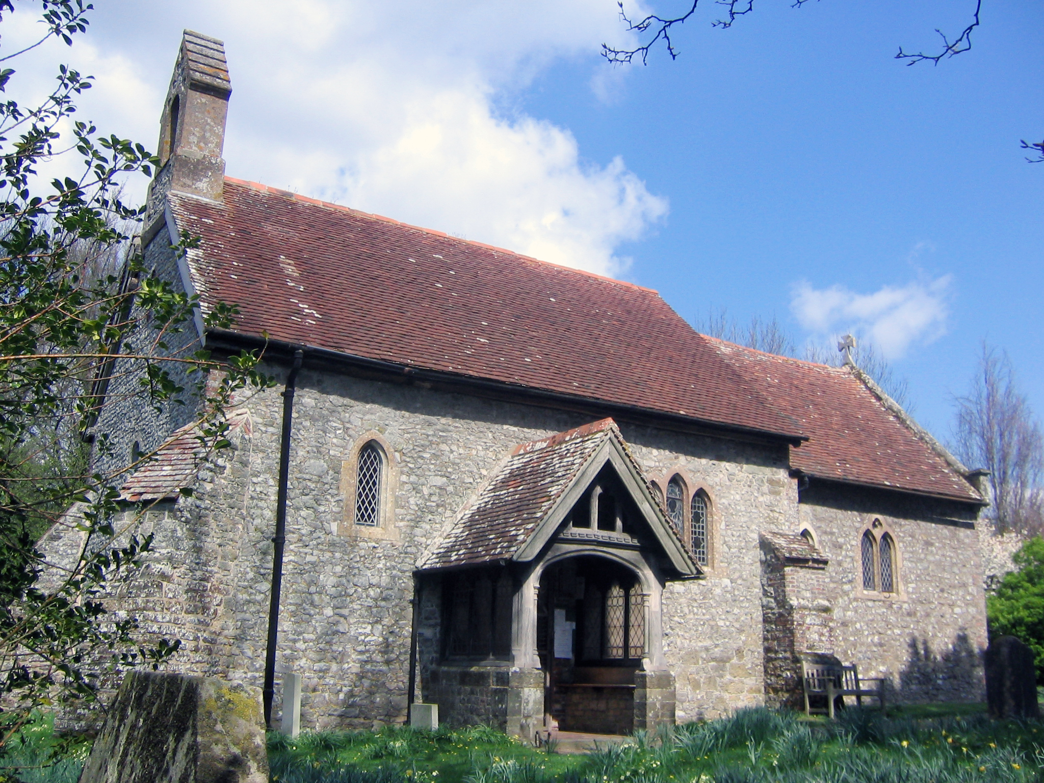
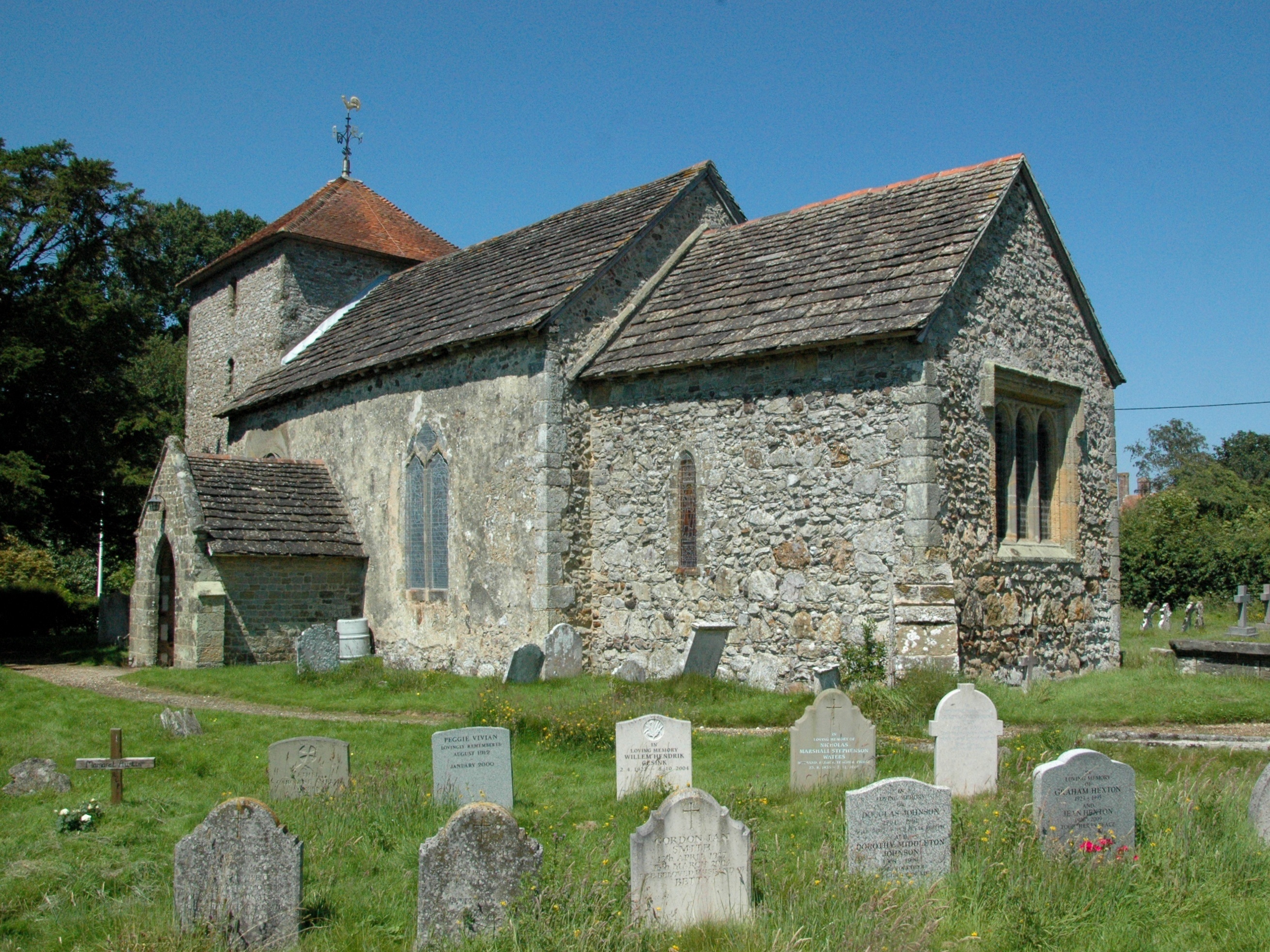
Warren Barn Copse Images

Images are sourced within 2km of 50.982173/-0.55054226 or Grid Reference TQ0121. Thanks to Geograph Open Source API. All images are credited.

Woodland at Arundel Holt
Ruin, Bedham Built 1880 as a church and school, the school use closing in 1925 and final closure in 1959.
Ruin, Bedham
Built 1880 as a church and school, the school use closing in 1925 and final closure in 1959.
View east over field north of Mockbeggars
Footpath past pond by Mockbeggars Public footpath 776 passes between the pond and the buildings of Mockbeggars off to the right.
Footpath past pond by Mockbeggars
Public footpath 776 passes between the pond and the buildings of Mockbeggars off to the right.
Footpath 776 south-west from Mockbeggars
Footpath 776 towards Mockbeggars and Bedham Lane
Crossways in Quay Copse Bridleway 709, straight on, crosses footpath 776, right and left.
Crossways in Quay Copse
Bridleway 709, straight on, crosses footpath 776, right and left.
Bridleway 3421 in Quay Copse A way up from Pallingham Quay.
Bridleway 3421 in Quay Copse
A way up from Pallingham Quay.
Narrow field by farm track to Pallingham Quay The track is also bridleway 3421.
Narrow field by farm track to Pallingham Quay
The track is also bridleway 3421.
Bridge over River Arun Public bridleway 3421 crosses.
Bridge over River Arun
Public bridleway 3421 crosses.
Footpath 1979 in Arun valley Looking north towards the gate onto bridleway 3421 which crosses the valley.
Footpath 1979 in Arun valley
Looking north towards the gate onto bridleway 3421 which crosses the valley.
Track junction and stile near Pallingham Lock Cottage Footpath 1979 goes across the stile, bridleway 3422 goes right, the gated track goes to Pallingham Lock Cottage.
Track junction and stile near Pallingham Lock Cottage
Footpath 1979 goes across the stile, bridleway 3422 goes right, the gated track goes to Pallingham Lock Cottage.
Entrance to Sheepwash Farm For a closer look at the sign, see <a href="https://www.geograph.org.uk/photo/2565099">TQ0321 : Sheepwash Farm sign - detail</a>.
Entrance to Sheepwash Farm
For a closer look at the sign, see TQ0321 : Sheepwash Farm sign - detail.
Pallingham Bridge, Pallingham Quay On the abandoned Arun Navigation (the Wey and Arun Canal had an end-on junction at Newbridge). The bridge has been restored here, see a 1973 view - <a href="https://www.geograph.org.uk/photo/476877">TQ0321 : Pallingham Bridge, Wey and Arun Canal</a>.
Pallingham Bridge, Pallingham Quay
On the abandoned Arun Navigation (the Wey and Arun Canal had an end-on junction at Newbridge). The bridge has been restored here, see a 1973 view - TQ0321 : Pallingham Bridge, Wey and Arun Canal.
Arun Navigation south of Pallingham Bridge The cut from the tidal Arun at Pallingham lock to Newbridge was abandoned in 1896.
Arun Navigation south of Pallingham Bridge
The cut from the tidal Arun at Pallingham lock to Newbridge was abandoned in 1896.
View across Arun valley to Pallingham Quay Farm Bridleway 3421 crosses the valley.
View across Arun valley to Pallingham Quay Farm
Bridleway 3421 crosses the valley.
River Arun above Pallingham Quay Looking remarkably choked up with summer vegetation.
River Arun above Pallingham Quay
Looking remarkably choked up with summer vegetation.
Pallingham Quay Farm An 18th century grade II listed building.
Pallingham Quay Farm
An 18th century grade II listed building.
Show me another place!

Warren Barn Copse is located at Grid Ref: TQ0121 (Lat: 50.982173, Lng: -0.55054226)

Administrative County: West Sussex

District: Chichester

Police Authority: Sussex

What 3 Words

///indicates.retaliate.graphics. Near Pulborough, West Sussex

Related Wikis

Bognor Common Quarry

Bognor Common Quarry is a 25.1-hectare (62-acre) geological Site of Special Scientific Interest east of Petworth in West Sussex. It is a Geological Conservation...

Bedham

Bedham is a hamlet 4 kilometres (2+1⁄2 miles) east of Petworth in the Chichester District of West Sussex, England. It is in the civil parish of Wisborough...

Fittleworth

Fittleworth is a village and civil parish in the District of Chichester in West Sussex, England located seven kilometres (3 miles) west from Pulborough...

The Mens

The Mens is a 205.2-hectare (507-acre) biological Site of Special Scientific Interest west of Billingshurst in West Sussex. It is a Nature Conservation...

Egdean

Egdean (pronounced Egg-deen) is a small village in the Chichester district of West Sussex, England. It lies just off the A283 road 1.7 miles (2.8 km) southeast...

Stopham

Stopham is a hamlet and civil parish in the District of Chichester in West Sussex, England, about 1.5 miles (2.4 km) west of Pulborough on the A283 road...

Upper Arun

Upper Arun is a 17.6-hectare (43-acre) biological Site of Special Scientific Interest between Billingshurst and Pulborough in West Sussex.This 13-kilometre...

Park Farm Cutting

Park Farm Cutting is a 0.2-hectare (0.49-acre) geological Site of Special Scientific Interest west of Pulborough in West Sussex. It is a Geological Conservation...

Nearby Amenities

Located within 500m of 50.982173,-0.55054226
Post Box
Ref: RH20 63
Lat/Long: 50.9821921/-0.547465
Barrier: stile
Foot: yes
Lat/Long: 50.9825996/-0.54857
Barrier: stile
Foot: yes
Lat/Long: 50.9819429/-0.5476298
Barrier: stile
Foot: yes
Lat/Long: 50.9806811/-0.5560522
Power: pole
Lat/Long: 50.9831069/-0.5513737
Power: pole
Lat/Long: 50.9826661/-0.5534551
Power: pole
Lat/Long: 50.9815432/-0.5566388
Power: pole
Lat/Long: 50.9822322/-0.5555177
The data included in this document is from www.openstreetmap.org. The data is made available under ODbL.

Have you been to Warren Barn Copse?

Leave your review of Warren Barn Copse below (or comments, questions and feedback).