Coronation Spinney

Wood, Forest in Lincolnshire South Kesteven

England

Coronation Spinney

Swinstead
Swinstead Credit: Tim Heaton

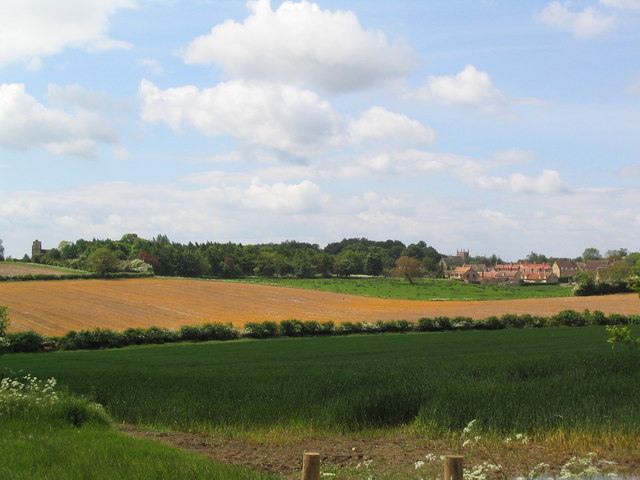
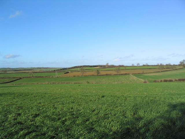
Coronation Spinney is a charming woodland area located in Lincolnshire, England. Spread over approximately 20 acres, this beautiful spinney is a haven for nature lovers and offers a peaceful retreat from the bustling city life.

The spinney is predominantly composed of broad-leaved deciduous trees, including oak, beech, ash, and birch, which create a vibrant display of foliage throughout the year. The dense canopy provided by these trees creates a shaded and cool environment, perfect for leisurely walks and picnics on hot summer days.

The forest floor is covered with a variety of wildflowers, ferns, and mosses, creating a colorful and diverse undergrowth. These plants provide a habitat for a wide range of wildlife, including squirrels, rabbits, and various bird species. Nature enthusiasts can spot woodpeckers, thrushes, and finches, among others, flitting among the branches and singing their melodious tunes.

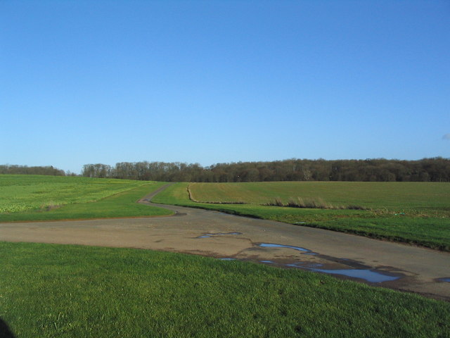
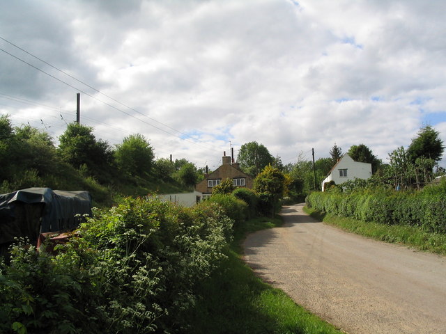
Several well-maintained walking trails wind through the spinney, allowing visitors to explore its natural beauty at their own pace. These paths are suitable for all ages and fitness levels, making it an ideal destination for families, hikers, and dog walkers alike.

Coronation Spinney is open to the public year-round, and admission is free. It is equipped with picnic areas, benches, and designated spots for wildlife observation. The spinney is managed by the local council, ensuring its preservation and maintenance for future generations to enjoy.

Overall, Coronation Spinney is a picturesque woodland that offers a tranquil escape for those seeking solace in nature's embrace. Its rich biodiversity, well-marked trails, and peaceful ambiance make it a popular destination for both locals and tourists alike.

If you have any feedback on the listing, please let us know in the comments section below.

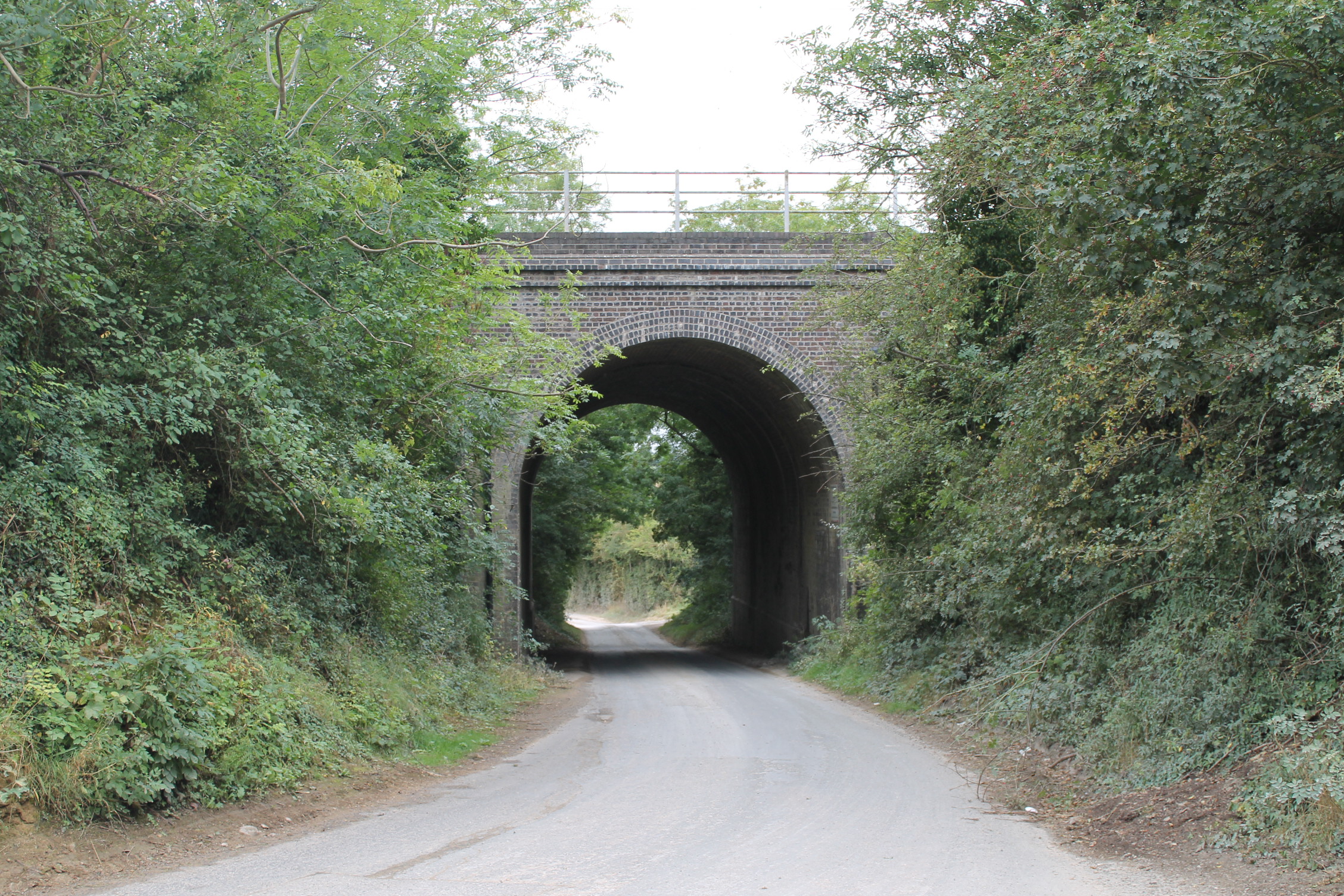
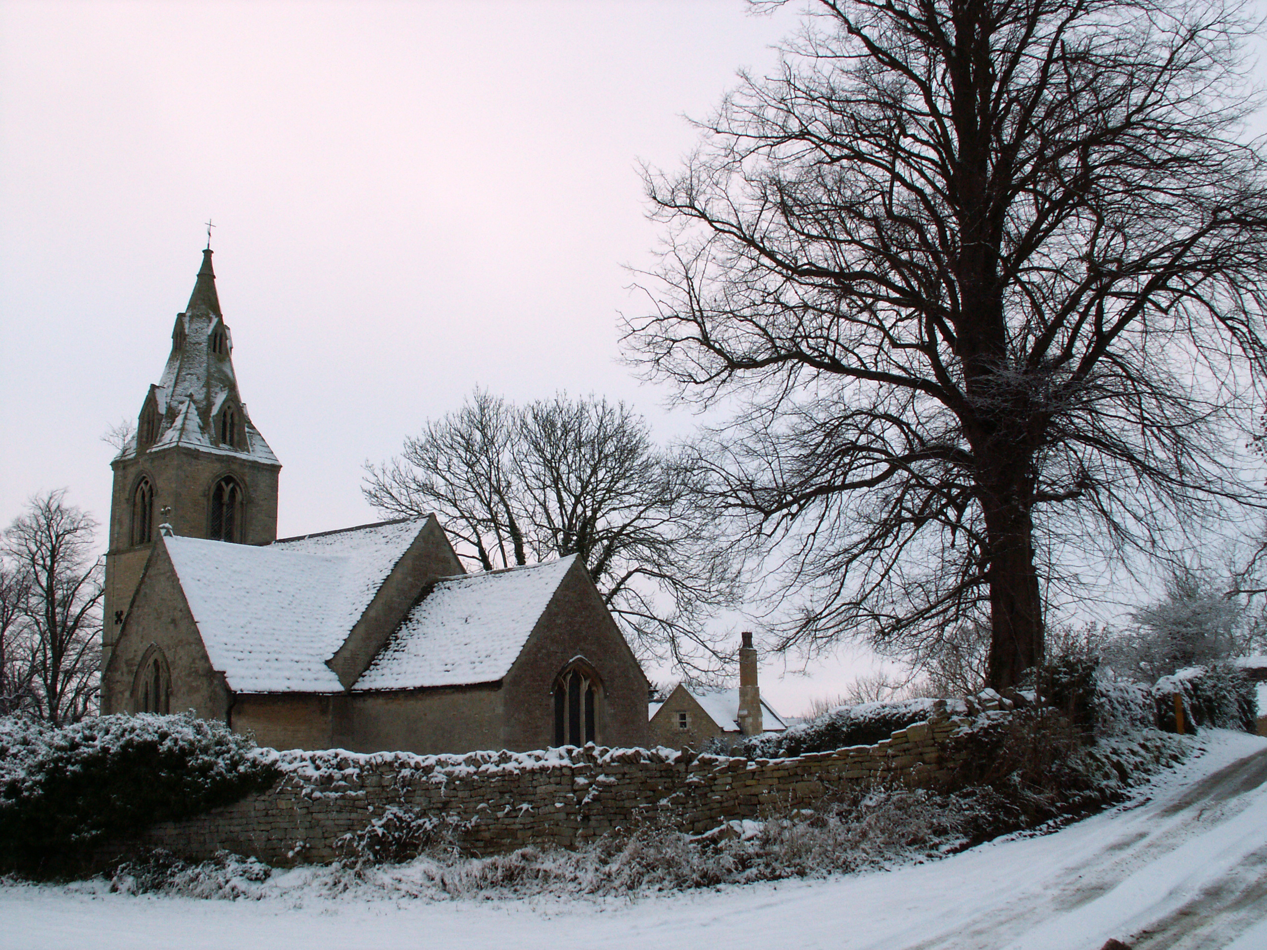
Coronation Spinney Images

Images are sourced within 2km of 52.77691/-0.4924199 or Grid Reference TF0120. Thanks to Geograph Open Source API. All images are credited.

Swinstead
Swinstead
Church of St Mary, Swinstead
Counthorpe The name 'Mallard Cottage' for the white building has nothing to do with birds. The East Coast Main Line runs along the embankment immediately opposite
Counthorpe
The name 'Mallard Cottage' for the white building has nothing to do with birds. The East Coast Main Line runs along the embankment immediately opposite
Counthorpe House
Counthorpe House
Swinstead from Forstedd Hill
Valley of the West Glen River A footpath runs from The Drift (behind camera), alongside the hedge bounding Gorse Hill plantation (left), across the river, and up the far bank to Swinstead.
Valley of the West Glen River
A footpath runs from The Drift (behind camera), alongside the hedge bounding Gorse Hill plantation (left), across the river, and up the far bank to Swinstead.
'The Drift', north of Creeton View north of this attractive lane, which runs parallel to the West Glen River (to right)
'The Drift', north of Creeton
View north of this attractive lane, which runs parallel to the West Glen River (to right)
Footbridge over the West Glen River View north, with Croakhill Plantation on the right. The footpath runs from The Drift (left) to Creeton Farm on the Creeton-Swinstead road (right)
Footbridge over the West Glen River
View north, with Croakhill Plantation on the right. The footpath runs from The Drift (left) to Creeton Farm on the Creeton-Swinstead road (right)
Creeton Farm
Creeton Farm
View north-west of TF0120 Showing most of square TF0120, with Croakhill Plantation in the distance. Taken from the footpath running east from Creeton toward Grimsthorpe Park, which cuts across the south-east corner of the square.
View north-west of TF0120
Showing most of square TF0120, with Croakhill Plantation in the distance. Taken from the footpath running east from Creeton toward Grimsthorpe Park, which cuts across the south-east corner of the square.
Swinstead Road, north of Creeton 'Spring Buildings Plantation' to the left of the road at the top of the hill.
Swinstead Road, north of Creeton
'Spring Buildings Plantation' to the left of the road at the top of the hill.
Mistletoe in lime trees; Steel's Riding, Grimsthorpe Park The track running west-east through the southern part of Grimsthorpe Park is lined with lime trees, heavily infested with mistletoe. The trees look rather sick - but I've only seen them in their leaf-free, winter months.
Mistletoe in lime trees; Steel's Riding, Grimsthorpe Park
The track running west-east through the southern part of Grimsthorpe Park is lined with lime trees, heavily infested with mistletoe. The trees look rather sick - but I've only seen them in their leaf-free, winter months.
Western end of 'Steel's Riding', Grimsthorpe Park With one of the many mistletoe-infested lime trees.
Western end of 'Steel's Riding', Grimsthorpe Park
With one of the many mistletoe-infested lime trees.
View north towards Park House, Grimsthorpe Park
Farm buildings, Grimsthorpe Park The track runs north-west towards Swinstead.
Farm buildings, Grimsthorpe Park
The track runs north-west towards Swinstead.
Road running east into Grimsthorpe Park Much of the central part of this large Park estate is farmed, but the remainder is attractive woodland.
Road running east into Grimsthorpe Park
Much of the central part of this large Park estate is farmed, but the remainder is attractive woodland.
Road junction, Grimsthorpe Park The main road through the Park. Running from Chestnut Avenue to the south (bottom right), towards the castle at the north end of the Park (top).
Road junction, Grimsthorpe Park
The main road through the Park. Running from Chestnut Avenue to the south (bottom right), towards the castle at the north end of the Park (top).
'Pots and Pans', Grimsthorpe Park Bumpy ground marking former quarry. Extraction of good quality limestone remains an important activity in the area.
'Pots and Pans', Grimsthorpe Park
Bumpy ground marking former quarry. Extraction of good quality limestone remains an important activity in the area.
Show me another place!

Coronation Spinney is located at Grid Ref: TF0120 (Lat: 52.77691, Lng: -0.4924199)

Administrative County: Lincolnshire

District: South Kesteven

Police Authority: Lincolnshire

What 3 Words

///depend.gagging.utensil. Near Corby Glen, Lincolnshire

Related Wikis

Counthorpe

Counthorpe is a hamlet in the civil parish of Counthorpe and Creeton in the South Kesteven district of Lincolnshire, England. It adjoins the hamlet of...

Counthorpe and Creeton

Counthorpe and Creeton is a civil parish in the South Kesteven district of Lincolnshire, England. According to the 2001 census it had a population of...

Creeton

Creeton is a village in the civil parish of Counthorpe and Creeton in the South Kesteven district of Lincolnshire, England. It is situated 3 miles (5 km...

Swinstead

Swinstead is a village and civil parish in the South Kesteven district of Lincolnshire, England. It is situated 5 miles (8.0 km) west from Bourne, 9 miles...

Nearby Amenities

Located within 500m of 52.77691,-0.4924199
Creeton Farm
Place: farm
Source: Bing
Lat/Long: 52.7798103/-0.4964302
The data included in this document is from www.openstreetmap.org. The data is made available under ODbL.

Have you been to Coronation Spinney?

Leave your review of Coronation Spinney below (or comments, questions and feedback).