Eavestone

Settlement in Yorkshire Harrogate

England

Eavestone

Drift Lane Walled track leading towards the Drovers Inn, Dallowgill now adopted by the Ripon Rowell Walk.
Drift Lane Credit: Chris Heaton

Eavestone is a small village located in the Harrogate district of North Yorkshire, England. Situated approximately 7 miles south-west of the town of Ripon, Eavestone is nestled in the picturesque countryside of the Nidderdale Area of Outstanding Natural Beauty.

The village has a long history, dating back to the Domesday Book of 1086. It is known for its charming rural setting, with rolling hills, green pastures, and woodland areas surrounding the village. Eavestone's landscape offers a range of outdoor activities, including hiking, cycling, and nature walks, making it an ideal destination for nature enthusiasts and outdoor adventurers.

The centerpiece of Eavestone is Eavestone Lake, a tranquil body of water located within a private estate. The lake is surrounded by beautiful gardens and woodlands, providing a peaceful retreat for visitors. Additionally, the estate features Eavestone Hall, an impressive Grade II listed Georgian mansion, which adds to the village's historical and architectural charm.

Though small in size, Eavestone is well-connected to nearby towns and cities. The village is easily accessible by road, with the A1(M) and A61 highways in close proximity. The nearby town of Ripon offers a range of amenities, including shops, restaurants, and schools, ensuring that residents have access to necessary services.

Overall, Eavestone presents a serene and idyllic setting, offering a taste of rural life in the heart of Yorkshire's stunning countryside.

If you have any feedback on the listing, please let us know in the comments section below.
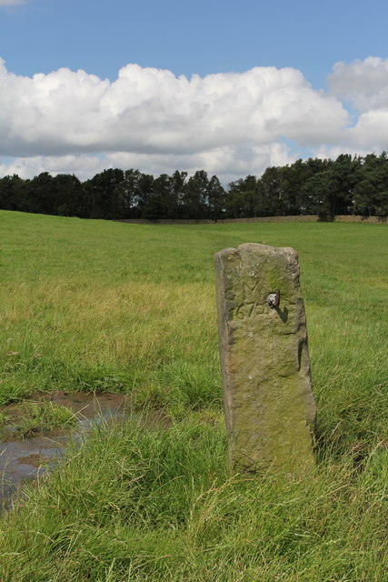
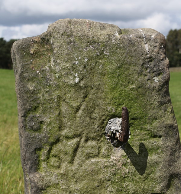
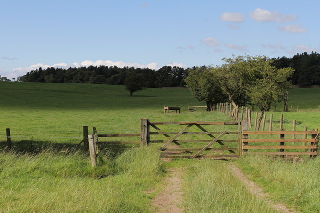
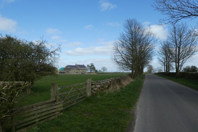
Eavestone Images

Images are sourced within 2km of 54.110346/-1.660028 or Grid Reference SE2268. Thanks to Geograph Open Source API. All images are credited.

Drift Lane Walled track leading towards the Drovers Inn, Dallowgill now adopted by the Ripon Rowell Walk.
Drift Lane
Walled track leading towards the Drovers Inn, Dallowgill now adopted by the Ripon Rowell Walk.
Old Gatepost. inscribed with the letters GM and numbers 1672. <a href="https://www.geograph.org.uk/photo/3056118">SE2270 : Old Gatepost (detail).</a>
Old Gatepost.
inscribed with the letters GM and numbers 1672. SE2270 : Old Gatepost (detail).
Old Gatepost (detail). <a href="https://www.geograph.org.uk/photo/3056115">SE2270 : Old Gatepost.</a>
Old Gatepost (detail).
Footpath from Redmires towards Lumley Moor.
Track north of Redmires Looking down the arrow straight track that runs from the lane at Redmires House to woods that conceal Lumley Moor Reservoir
Track north of Redmires
Looking down the arrow straight track that runs from the lane at Redmires House to woods that conceal Lumley Moor Reservoir
Heatherlands, near High Grantley
Road at the entrance to Grantley Thwaites Looking westward.
Road at the entrance to Grantley Thwaites
Looking westward.
Drift Lane (Track) at Toft Ridge Looking northward.
Drift Lane (Track) at Toft Ridge
Looking northward.
Eagle-eyed Benchmark Spotter This benchmark is less than 500m away from the entrance to Grantley Thwaites, and it is on a sandstone gatepost midway along an intake field.
It is recorded as being at 623.7ft asl.
Eagle-eyed Benchmark Spotter
This benchmark is less than 500m away from the entrance to Grantley Thwaites, and it is on a sandstone gatepost midway along an intake field. It is recorded as being at 623.7ft asl.
Close Up of the Benchmark near Grantley Thwaites
Road over Skelding Moor Looking along the road as it approaches Drift Lane.
Road over Skelding Moor
Looking along the road as it approaches Drift Lane.
Road passing Heatherlands The road leads to High Grantley.
Road passing Heatherlands
The road leads to High Grantley.
Gate and Grantley Thwaites Looking along the road to High Grantley.
Gate and Grantley Thwaites
Looking along the road to High Grantley.
Eavestone Lake Strange millstone grit rock formations stand in the woods around this lake
Eavestone Lake
Strange millstone grit rock formations stand in the woods around this lake
Hungate Dyke Looking up the hill to Hungate village
Hungate Dyke
Looking up the hill to Hungate village
Bridge over the River Skell The new bridge over the river Skell, replaces the old ford shown on the map which has become unusable.
Bridge over the River Skell
The new bridge over the river Skell, replaces the old ford shown on the map which has become unusable.
Brim Bray Pond The approach to Brim Bray Pond along the track from High Skelding.
Brim Bray Pond
The approach to Brim Bray Pond along the track from High Skelding.
Hilltop Eavestone Hilltop Farm at Eavestone.
Hilltop Eavestone
Hilltop Farm at Eavestone.
Show me another place!

Eavestone is located at Grid Ref: SE2268 (Lat: 54.110346, Lng: -1.660028)

Division: West Riding

Administrative County: North Yorkshire

District: Harrogate

Police Authority: North Yorkshire

What 3 Words

///when.seabirds.dream. Near Pateley Bridge, North Yorkshire

Nearby Locations

Norberry Hill Eavestone

Related Wikis

Eavestone

Eavestone is a hamlet and civil parish in the Harrogate district of North Yorkshire, England. It is situated near Brimham Rocks, 3 miles (4.8 km) east...

Grantley, North Yorkshire

Grantley is a village (also known as High Grantley) and civil parish in North Yorkshire, England. It lies 5 miles (8 km) west of Ripon. The parish also...

Grantley Hall

Grantley Hall is an English country house located in North Yorkshire, England. It is situated near Grantley, about 5 miles (8 km) to the west of Ripon...

Ripon and Pateley Bridge Rural District

Ripon and Pateley Bridge was a rural district in the West Riding of Yorkshire, England from 1937 to 1974. It was created in 1937 by a County Review Order...

Nearby Amenities

Located within 500m of 54.110346,-1.660028
Norberry Hill
Natural: peak
Source: OS 1:25k
Source Name: OS 1:25k
Lat/Long: 54.112528/-1.6646232
Highfield Top
Natural: peak
Source: OS 1:25k
Source Name: OS 1:25k
Lat/Long: 54.1076473/-1.6564467
Place: farm
Lat/Long: 54.1106787/-1.6621421
Place: farm
Lat/Long: 54.1104774/-1.6587089
Place: farm
Lat/Long: 54.1111693/-1.6596101
Building: yes
Lat/Long: 54.1097003/-1.6573426
Building: yes
Lat/Long: 54.1085933/-1.6607114
Building: yes
Lat/Long: 54.1090587/-1.6602179
Bench
Lat/Long: 54.11033/-1.6573558
The data included in this document is from www.openstreetmap.org. The data is made available under ODbL.

Have you been to Eavestone?

Leave your review of Eavestone below (or comments, questions and feedback).