Old Furze Field

Wood, Forest in Sussex Chichester

England

Old Furze Field

Foxbridge Golf Club from the air Wephurst Wood lies to the east of the course; Furze Field and Broad Field, also shown in <a href="https://www.geograph.org.uk/photo/5151386">TQ0129 : Woodland near Ifold from the air</a>, are at lower left. Ifold is the village set in woodland at the top.
Foxbridge Golf Club from the air Credit: Derek Harper

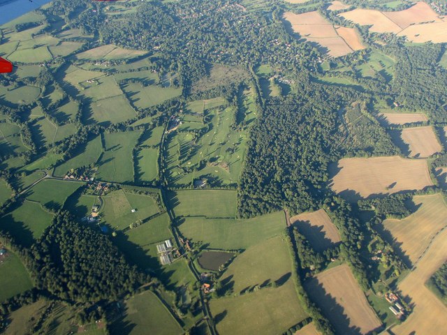
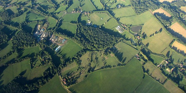
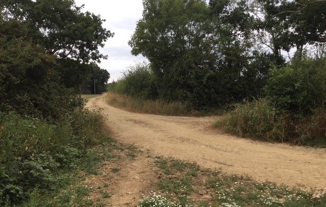
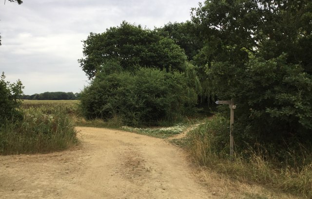
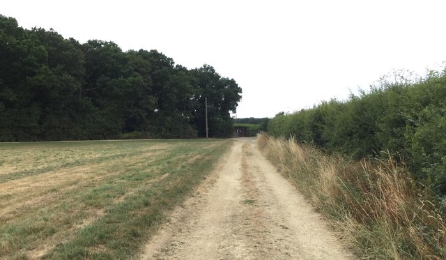
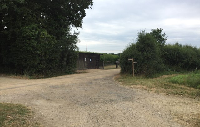
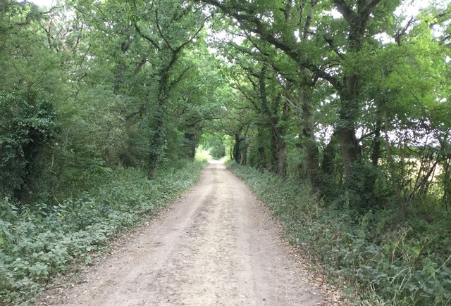
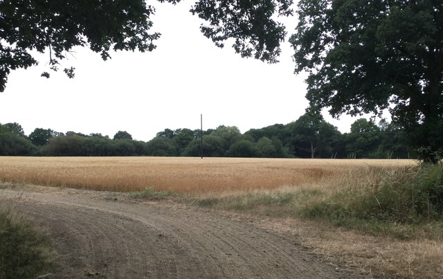
Old Furze Field is a picturesque woodland located in Sussex, England. Situated in the heart of the county, it covers an expansive area of approximately 50 acres, offering visitors a tranquil retreat from the bustle of everyday life. The woodland is characterized by its dense canopy of towering trees, primarily consisting of oak, beech, and birch, which create a stunning display of vibrant colors throughout the year.

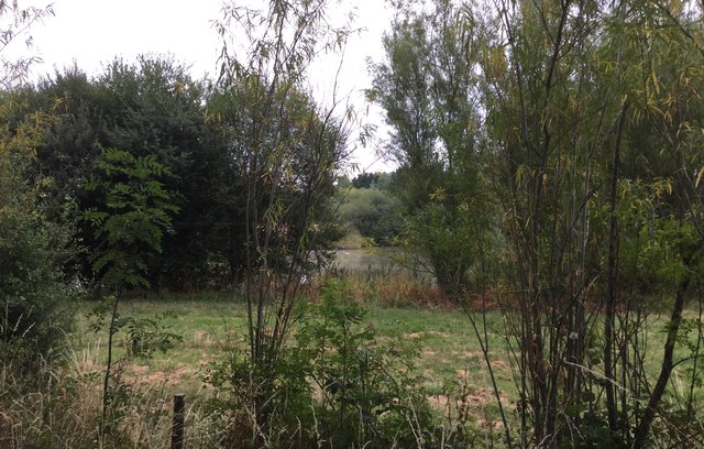
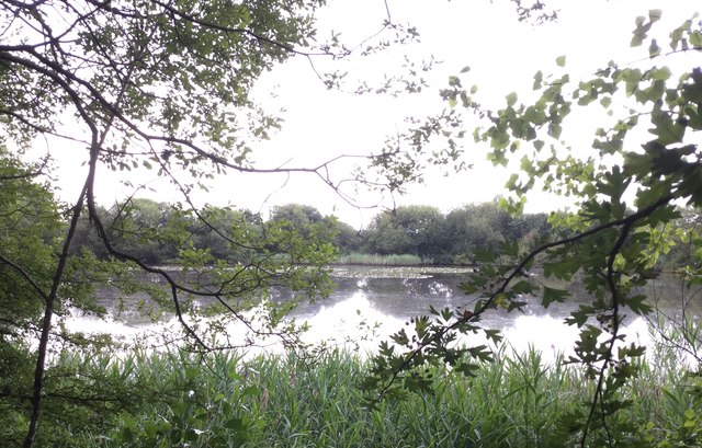
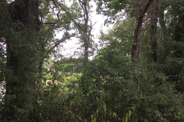
As one explores Old Furze Field, they will come across a variety of native flora and fauna. The forest floor is adorned with a rich carpet of wildflowers, including bluebells and primroses, adding a touch of natural beauty to the landscape. The woodland is also home to an abundance of wildlife, such as deer, foxes, and a diverse array of bird species, making it a haven for nature enthusiasts and birdwatchers.

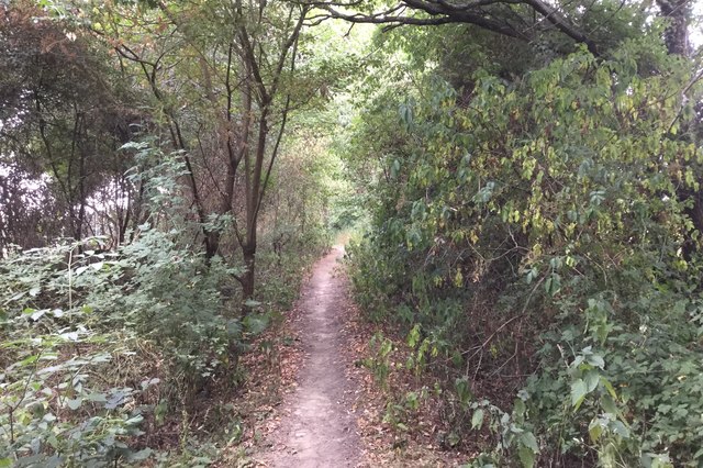
Trails wind through the forest, offering visitors the opportunity to immerse themselves in the peaceful surroundings. These paths lead to hidden glades and enchanting clearings, providing visitors with a sense of seclusion and tranquility. The air in Old Furze Field is filled with the soothing sounds of birdsong, the rustling of leaves, and the occasional scampering of woodland creatures.

Old Furze Field has a rich history, dating back centuries. It has been an important part of the local community, providing timber for construction and fuel. The woodland has also served as a gathering place for traditional festivities and celebrations, adding to its cultural significance.

Today, Old Furze Field continues to be cherished as a natural gem in Sussex, offering a peaceful sanctuary for those seeking solace in nature's embrace.

If you have any feedback on the listing, please let us know in the comments section below.

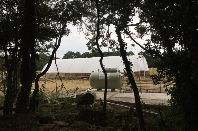
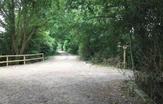
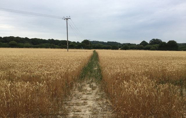
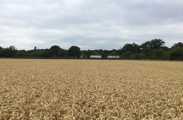
Old Furze Field Images

Images are sourced within 2km of 51.055433/-0.55092455 or Grid Reference TQ0129. Thanks to Geograph Open Source API. All images are credited.

Foxbridge Golf Club from the air Wephurst Wood lies to the east of the course; Furze Field and Broad Field, also shown in <a href="https://www.geograph.org.uk/photo/5151386">TQ0129 : Woodland near Ifold from the air</a>, are at lower left. Ifold is the village set in woodland at the top.
Foxbridge Golf Club from the air
Wephurst Wood lies to the east of the course; Furze Field and Broad Field, also shown in TQ0129 : Woodland near Ifold from the air, are at lower left. Ifold is the village set in woodland at the top.
Woodland near Ifold from the air The woods at Furze Field and Broad Field also appear in the aerial shot at <a href="https://www.geograph.org.uk/photo/5151368">TQ0229 : Foxbridge Golf Club from the air</a>. The houses at the top are along Rickman's Lane. Left of the wood is Crouchlands Farm.
Woodland near Ifold from the air
The woods at Furze Field and Broad Field also appear in the aerial shot at TQ0229 : Foxbridge Golf Club from the air. The houses at the top are along Rickman's Lane. Left of the wood is Crouchlands Farm.
Irrigational Reservoir A glimpse of the smallest of the three reservoirs.
Irrigational Reservoir
A glimpse of the smallest of the three reservoirs.
Gate to be kept shut The notice on the gate is quite firm that it must be kept shut.
Gate to be kept shut
The notice on the gate is quite firm that it must be kept shut.
Bridleway to Chandler’s Barn
Reflections on the Reservoir Still conditions provided good reflections on the Reservoir.
Reflections on the Reservoir
Still conditions provided good reflections on the Reservoir.
Dry Tracks The heatwave of the summer of 2018 had made all the tracks bone dry and extremely dusty.
Dry Tracks
The heatwave of the summer of 2018 had made all the tracks bone dry and extremely dusty.
Path Junction Looking east along the bridleway as it approaches a narrow strip of woodland.
Path Junction
Looking east along the bridleway as it approaches a narrow strip of woodland.
Approaching the corner of woodland On the bridleway approaching the corner of Holland’s Heath Copse.
Approaching the corner of woodland
On the bridleway approaching the corner of Holland’s Heath Copse.
Wooden Building beside Holland’s Heath Copse
Holland’s Heath Copse On the bridleway running alongside the Copse.
Holland’s Heath Copse
On the bridleway running alongside the Copse.
Crop in field beside the Copse A field of wheat ripening quickly during the very warm weather.
Crop in field beside the Copse
A field of wheat ripening quickly during the very warm weather.
Tree cover at Holland’s Heath Farm The growth in trees and undergrowth is now blocking a clear view on the Farm from the passing bridleway. Only a very indistinct shape of the farm can be seen.
Tree cover at Holland’s Heath Farm
The growth in trees and undergrowth is now blocking a clear view on the Farm from the passing bridleway. Only a very indistinct shape of the farm can be seen.
Bridleway passing Holland’s Heath Farm Heading West on the bridleway.
Bridleway passing Holland’s Heath Farm
Heading West on the bridleway.
Construction Work Work is clearly in progress on building a new covered tunnel for growing crops.
Construction Work
Work is clearly in progress on building a new covered tunnel for growing crops.
Heading towards Mackerel’s Common
Clear Path The public footpath heads Northwards across the field and a clear way has been left by the farmer through the crop.
Clear Path
The public footpath heads Northwards across the field and a clear way has been left by the farmer through the crop.
Houses at Mackerel’s Common Looking across the field from the footpath at the houses beside the Plaistow Road.
Houses at Mackerel’s Common
Looking across the field from the footpath at the houses beside the Plaistow Road.
Show me another place!

Old Furze Field is located at Grid Ref: TQ0129 (Lat: 51.055433, Lng: -0.55092455)

Administrative County: West Sussex

District: Chichester

Police Authority: Sussex

What 3 Words

///vibes.joins.schematic. Near Rudgwick, West Sussex

Related Wikis

St Ronan's School

Saint Ronan's School is an independent co-educational preparatory school for boys and girls from 3 to 13 years located in Hawkhurst in Kent, England. It...

Ifold

Ifold is a hamlet in West Sussex and part of the civil Parish of Plaistow, of which it is the largest settlement. Ifold is classified as a hamlet, because...

Plaistow, West Sussex

Plaistow ( PLAST-oh) is a village and civil parish in the north of the Chichester District of West Sussex, England. There is a village green, a recreation...

Loxwood F.C.

Loxwood Football Club is a football club based in Loxwood, West Sussex, England. Nicknamed "The Magpies" and affiliated to the Surrey County FA, they are...

Kirdford

Kirdford is a village and civil parish in the Chichester District of West Sussex, England. Its nearest town is Petworth, located 6.5 miles (10.5 km) southwest...

Loxwood

Loxwood is a small village and civil parish with several outlying settlements, in the Chichester district of West Sussex, England, within the Low Weald...

Petworth (electoral division)

Petworth is an electoral division of West Sussex in the United Kingdom, and returns one member to sit on West Sussex County Council. == Extent == The division...

Chiddingfold Forest

Chiddingfold Forest is a 542.5-hectare (1,341-acre) biological Site of Special Scientific Interest in Chiddingfold in Surrey and West Sussex. One part...

Nearby Amenities

Located within 500m of 51.055433,-0.55092455
Bus Stop
Crouchlands Farm
Naptan AtcoCode: 4400HR0925
Naptan Bearing: S
Naptan BusStopType: CUS
Naptan CommonName: Crouchlands Farm
Naptan Indicator: opp
Naptan Landmark: Hail & Ride
Naptan NaptanCode: wsxgajgt
Naptan Street: Rickman's Lane
Naptan Verified: no
Source: naptan_import
Lat/Long: 51.0593173/-0.5528112
Bus Stop
Crouchlands Farm
Naptan AtcoCode: 4400HR0926
Naptan Bearing: N
Naptan BusStopType: CUS
Naptan CommonName: Crouchlands Farm
Naptan Indicator: adj
Naptan Landmark: Hail & Ride
Naptan NaptanCode: wsxgajgw
Naptan Street: Rickman's Lane
Naptan Verified: no
Source: naptan_import
Lat/Long: 51.0593296/-0.5530819
Power: pole
Lat/Long: 51.0537793/-0.5446118
Power: pole
Lat/Long: 51.0568511/-0.5444026
Power: pole
Lat/Long: 51.0569422/-0.5443597
The data included in this document is from www.openstreetmap.org. The data is made available under ODbL.

Have you been to Old Furze Field?

Leave your review of Old Furze Field below (or comments, questions and feedback).