Beech Hill Clump
Wood, Forest in Surrey Runnymede
England
Beech Hill Clump

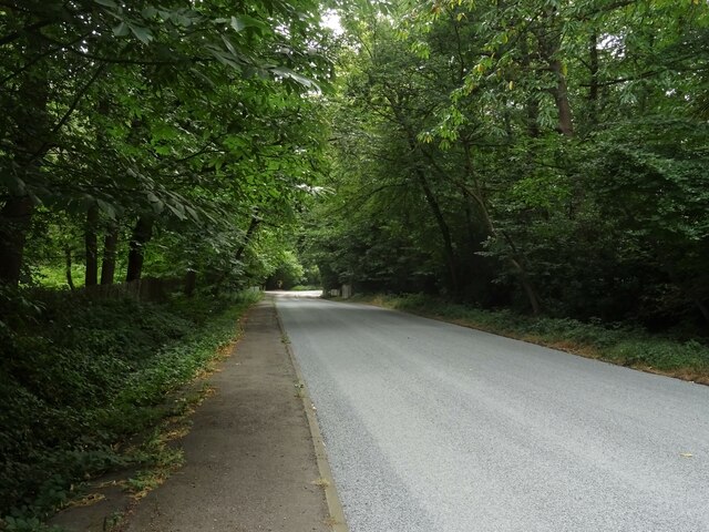
Beech Hill Clump is a picturesque woodland located in Surrey, England. Situated near the village of Pirbright, it is a popular destination for nature enthusiasts and those seeking tranquility amidst the hustle and bustle of everyday life.
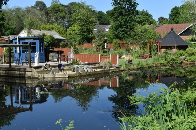
Covering an area of approximately 50 acres, Beech Hill Clump is predominantly composed of beech trees, as the name suggests. These majestic trees create a dense canopy that provides shade and shelter to a diverse range of flora and fauna. The woodland floor is adorned with bluebells, wild garlic, and other seasonal wildflowers, adding bursts of color to the landscape.
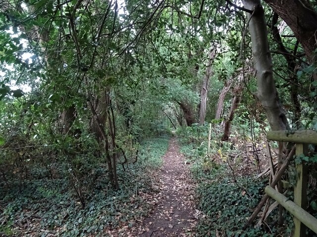
The woodland is crisscrossed by a network of well-maintained footpaths, allowing visitors to explore the area at their own pace. Nature trails wind through the trees, offering glimpses of wildlife such as deer, squirrels, and a variety of bird species.
Beech Hill Clump is also home to a small pond, which serves as a watering hole for various creatures and a breeding ground for amphibians. The tranquil atmosphere and the soothing sound of water make it an ideal spot for relaxation and contemplation.
The woodland is managed by the local council, which ensures its preservation and maintenance. Visitors are encouraged to follow guidelines to protect the environment and the wildlife that call Beech Hill Clump their home.
Overall, Beech Hill Clump in Surrey is a serene and enchanting woodland, providing a haven for nature lovers and a sanctuary for wildlife.
If you have any feedback on the listing, please let us know in the comments section below.
Beech Hill Clump Images
Images are sourced within 2km of 51.352271/-0.54179575 or Grid Reference TQ0162. Thanks to Geograph Open Source API. All images are credited.


Beech Hill Clump is located at Grid Ref: TQ0162 (Lat: 51.352271, Lng: -0.54179575)
Administrative County: Surrey
District: Runnymede
Police Authority: Surrey
What 3 Words
///small.boxer.smoke. Near Woking, Surrey
Related Wikis

Ottershaw School
Ottershaw School was founded in 1948 as an English school for boys in Ottershaw Park, Ottershaw, approximately 30 miles (48 km) southwest of London between...
McLaren Group
McLaren Group Limited is a British holding company based in Woking, England, which is involved in Formula One and other motorsport and the manufacture...

McLaren Technology Centre
The McLaren Technology Centre is the headquarters of the McLaren Group and its subsidiaries, located on a 500,000 m2 (50 ha) site in Woking, Surrey, England...
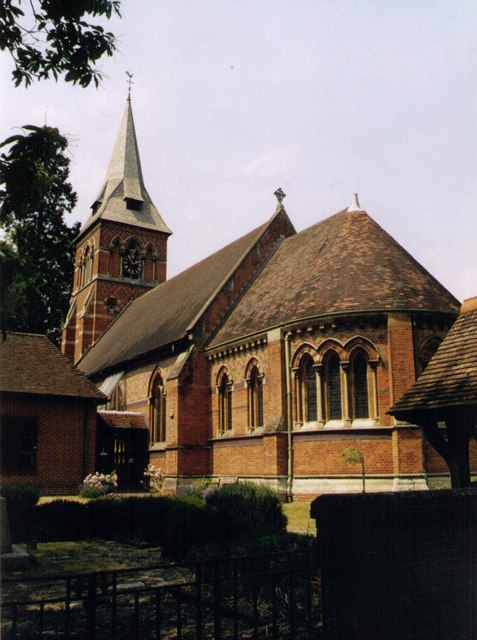
Christ Church, Ottershaw
Christ Church, Ottershaw is a Church of England church on Guildford Road in the village of Ottershaw in the Runnymede district of Surrey, England, about...

Fairoaks Airport
Fairoaks Airport (ICAO: EGTF) is a general aviation airport between Chobham and Chertsey in Surrey, England. It is 2 NM (3.7 km; 2.3 mi) north of Woking...

Queenwood Golf Club
Queenwood Golf Club is a golf club near Ottershaw in Surrey, England. The club is only open to members and their guests.The club was developed by the American...

Horsell Common
Horsell Common is a 355-hectare (880-acre) open space in Horsell, near Woking in Surrey. It is owned and managed by the Horsell Common Preservation Society...
Ottershaw
Ottershaw is a village in the Borough of Runnymede in Surrey, England, approximately 32 km (20 mi) southwest of central London. The village developed in...
Nearby Amenities
Located within 500m of 51.352271,-0.54179575Have you been to Beech Hill Clump?
Leave your review of Beech Hill Clump below (or comments, questions and feedback).