Eau Brink

Settlement in Norfolk King's Lynn and West Norfolk

England

Eau Brink

Wiggenhall St Mary the Virgin This glorious church is some way north of the village and is in the care of the Churches Conservation Trust. For more about its benches, screen and other delights, see <span class="nowrap"><a title="http://www.norfolkchurches.co.uk/wiggenhallstmary/wiggenhallstmary.htm" rel="nofollow ugc noopener" href="http://www.norfolkchurches.co.uk/wiggenhallstmary/wiggenhallstmary.htm">Link</a><img style="margin-left:2px;" alt="External link" title="External link - shift click to open in new window" src="https://s1.geograph.org.uk/img/external.png" width="10" height="10"/></span> -
Wiggenhall St Mary the Virgin Credit: John Sutton

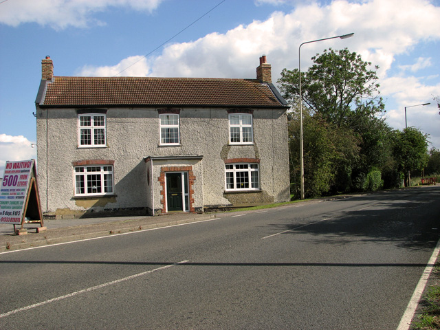
Eau Brink is a small village located in the county of Norfolk, England. Situated approximately 7 miles east of King's Lynn, the village is surrounded by picturesque countryside and farmland. Eau Brink is part of the civil parish of Tilney All Saints and has a population of around 300 residents.

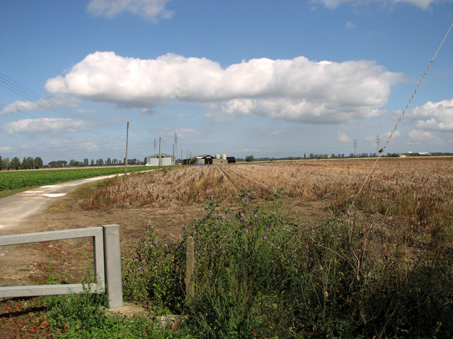
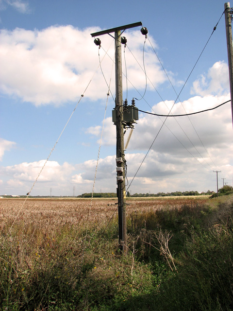
The village takes its name from the nearby river, the Eau Brink Drain, which runs through the area. The river has historically played a vital role in the local economy, as it was used for transportation of goods and provided a source of water for agriculture.

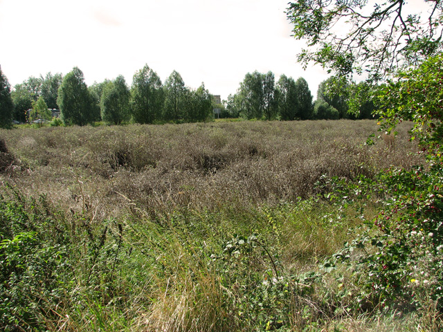
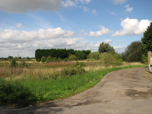
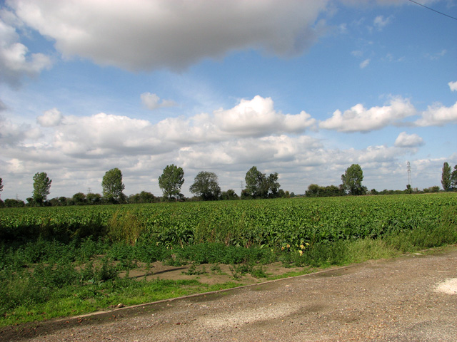
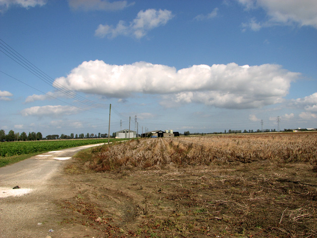
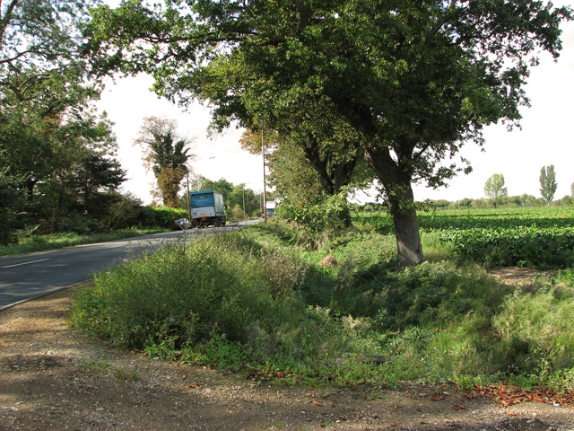
Eau Brink is known for its tranquil and rural setting, offering a peaceful retreat from the hustle and bustle of city life. The village is characterized by charming old cottages and farmhouses, some dating back several centuries, showcasing the area's rich history.

While Eau Brink is predominantly a residential area, it is also home to a few small businesses, including farms and local shops. The village benefits from its proximity to King's Lynn, where residents can access a wider range of amenities, such as supermarkets, schools, and healthcare facilities.

Nature enthusiasts will appreciate the nearby countryside, which offers opportunities for walking, cycling, and birdwatching. The area is also rich in wildlife, with several nature reserves and protected areas in the vicinity.

Overall, Eau Brink is a tranquil and idyllic village that provides a peaceful haven for its residents, while still benefiting from easy access to nearby amenities and natural beauty.

If you have any feedback on the listing, please let us know in the comments section below.
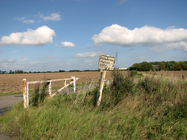
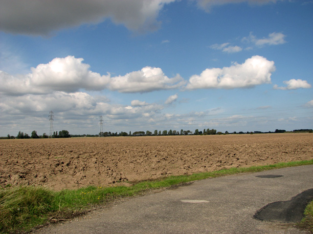
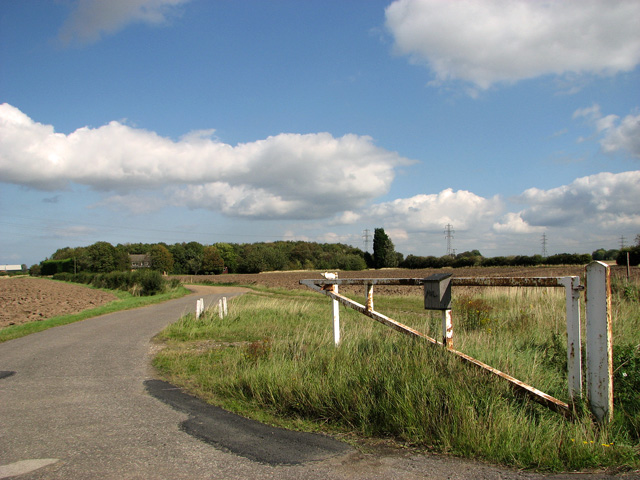
Eau Brink Images

Images are sourced within 2km of 52.717945/0.345963 or Grid Reference TF5815. Thanks to Geograph Open Source API. All images are credited.

Wiggenhall St Mary the Virgin This glorious church is some way north of the village and is in the care of the Churches Conservation Trust. For more about its benches, screen and other delights, see <span class="nowrap"><a title="http://www.norfolkchurches.co.uk/wiggenhallstmary/wiggenhallstmary.htm" rel="nofollow ugc noopener" href="http://www.norfolkchurches.co.uk/wiggenhallstmary/wiggenhallstmary.htm">Link</a><img style="margin-left:2px;" alt="External link" title="External link - shift click to open in new window" src="https://s1.geograph.org.uk/img/external.png" width="10" height="10"/></span> -
Wiggenhall St Mary the Virgin
This glorious church is some way north of the village and is in the care of the Churches Conservation Trust. For more about its benches, screen and other delights, see LinkExternal link -
Confluence of River Great Ouse & Middle Level Main Drain The bridge carries Eau Bank Road over Middle Level Main Drain which joins up with the River Nene west of Downham Market.
Confluence of River Great Ouse & Middle Level Main Drain
The bridge carries Eau Bank Road over Middle Level Main Drain which joins up with the River Nene west of Downham Market.
Livestock beside River Great Ouse Until I appeared these animals had been grazing peacefully beside the river. The entire herd then began to walk menacingly towards me. The only way of halting their progress was for me to stop walking. The stand-off lasted for about ten minutes after which they lost interest.
Livestock beside River Great Ouse
Until I appeared these animals had been grazing peacefully beside the river. The entire herd then began to walk menacingly towards me. The only way of halting their progress was for me to stop walking. The stand-off lasted for about ten minutes after which they lost interest.
Shore Boat Inn Farm, Tilney High End The farm and plant nursery is situated on the old A47 road.
Shore Boat Inn Farm, Tilney High End
The farm and plant nursery is situated on the old A47 road.
Overgrown meadow between the old and the new A47 roads
Farmland at Tilney High End
Harvested fields in the fens north of Pullover Road (A47)
Sugar beet crop north of Pullover Road (A47)
Driveway to farm sheds, Pullover Road (A47)
To Tilney High End on Pullover Road (A47)
Transformer beside Pullover Road (A47)
The gate to Fairfield, Tilney All Saints
Cultivated fields north of Pullover Road, Tilney All Saints
Driveway to Fairfield, Tilney All Saints
To West Lynn on Pullover Road (A47)
To Tilney High End on Pullover Road (A47)
St Mary Tilney-cum-Islington The ruined church of St Mary Tilney-cum-Islington, near to Tilney High End, Norfolk. For other views see <a title="https://www.geograph.org.uk/photo/3137703" href="https://www.geograph.org.uk/photo/3137703">Link</a> <a title="https://www.geograph.org.uk/photo/3137696" href="https://www.geograph.org.uk/photo/3137696">Link</a>
St Mary Tilney-cum-Islington
The ruined church of St Mary Tilney-cum-Islington, near to Tilney High End, Norfolk. For other views see Link Link
St Mary Tilney-cum-Islington The ruined church of St Mary Tilney-cum-Islington, near to Tilney High End, Norfolk. For other views see <a title="https://www.geograph.org.uk/photo/3137689" href="https://www.geograph.org.uk/photo/3137689">Link</a> <a title="https://www.geograph.org.uk/photo/3137703" href="https://www.geograph.org.uk/photo/3137703">Link</a>
St Mary Tilney-cum-Islington
The ruined church of St Mary Tilney-cum-Islington, near to Tilney High End, Norfolk. For other views see Link Link
Show me another place!

Eau Brink is located at Grid Ref: TF5815 (Lat: 52.717945, Lng: 0.345963)

Administrative County: Norfolk

District: King's Lynn and West Norfolk

Police Authority: Norfolk

What 3 Words

///angle.stow.many. Near Clenchwarton, Norfolk

Nearby Locations

Eau Brink

Related Wikis

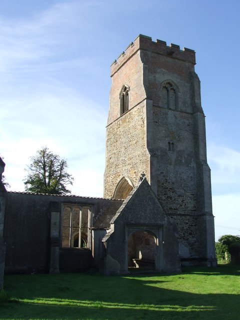
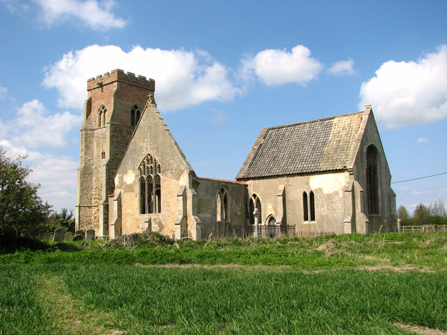
St Mary the Virgin's Church, Wiggenhall

St Mary the Virgin's Church is a redundant Anglican church in the civil parish of Wiggenhall St Germans, Norfolk, England. It is recorded in the National...

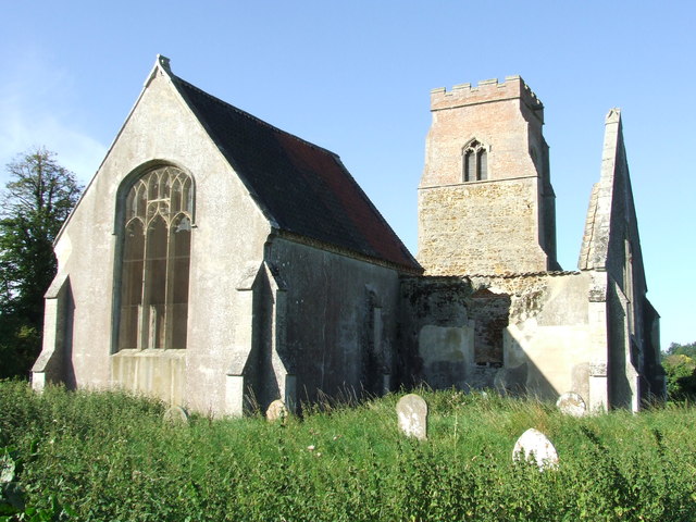
St Mary's Church, Islington, Norfolk

St Mary's Church is a ruined redundant Anglican church in the civil parish of Tilney St Lawrence, Norfolk, England. It is recorded in the National Heritage...
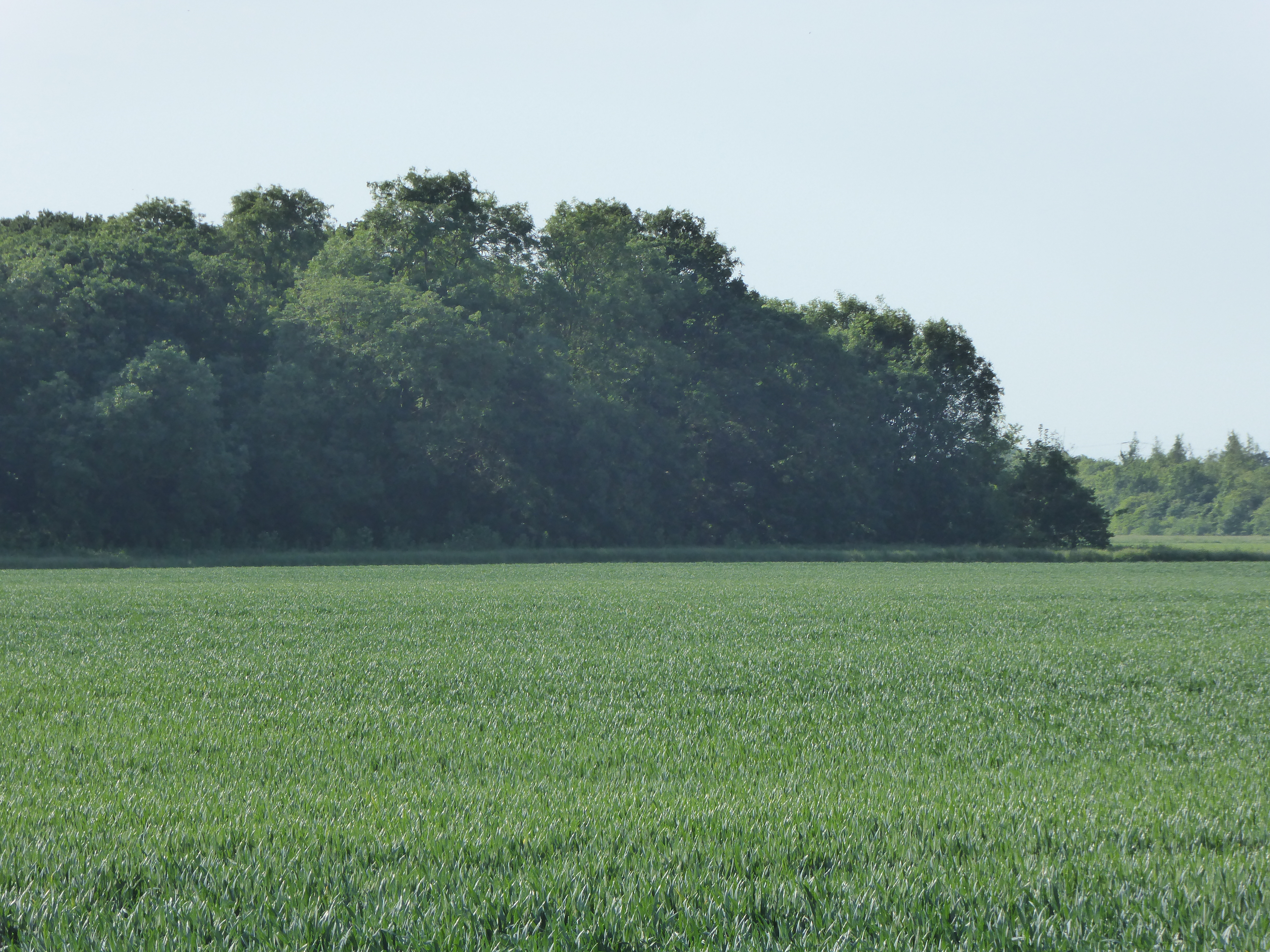
Islington Heronry

Islington Heronry is a 1.3-hectare (3.2-acre) biological Site of Special Scientific Interest south-west of King's Lynn Norfolk.This stand of mature oaks...

Wiggenhall St Germans SSSI

Wiggenhall St Germans SSSI is a 5.2-hectare (13-acre) geological Site of Special Scientific Interest south of King's Lynn in Norfolk. It is a Geological...

Nearby Amenities

Located within 500m of 52.717945,0.345963
The data included in this document is from www.openstreetmap.org. The data is made available under ODbL.

Have you been to Eau Brink?

Leave your review of Eau Brink below (or comments, questions and feedback).