Gorse Hill Covert

Wood, Forest in Lincolnshire North Kesteven

England

Gorse Hill Covert

Lincolnshire farmland and a distant powerline
Lincolnshire farmland and a distant powerline Credit: Steve Fareham

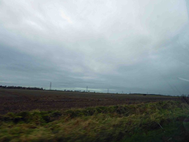
Gorse Hill Covert is a woodland area located in Lincolnshire, England. Spanning approximately 50 acres, it is a diverse and well-preserved natural habitat that offers a tranquil escape from the surrounding urban areas.

The covert primarily consists of dense woodland, dominated by various species of trees such as oak, birch, and ash. These towering trees create a dense canopy that filters sunlight, creating a cool and shaded environment below. The forest floor is covered in a rich carpet of mosses, ferns, and wildflowers, adding to the overall beauty and biodiversity of the area.

Gorse Hill Covert is home to a variety of wildlife species. Many birds find refuge within the woodland, including woodpeckers, owls, and various songbirds. Small mammals like rabbits, squirrels, and hedgehogs can also be spotted here. The covert is known for its healthy population of butterflies and insects, which thrive in the diverse range of plant life.

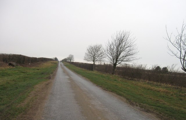
The woodland is intersected by several footpaths, allowing visitors to explore and enjoy the natural surroundings. These paths wind through the trees, revealing picturesque views and providing opportunities for peaceful walks or nature photography.

Gorse Hill Covert is a popular destination for nature lovers, hikers, and birdwatchers. Its serene atmosphere and abundance of wildlife make it an ideal location for those seeking a break from the hustle and bustle of everyday life. Additionally, the woodland plays a vital role in maintaining the region's ecological balance and contributes to the overall health of the surrounding ecosystem.

If you have any feedback on the listing, please let us know in the comments section below.

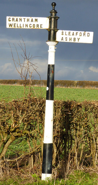
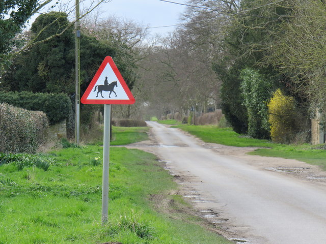
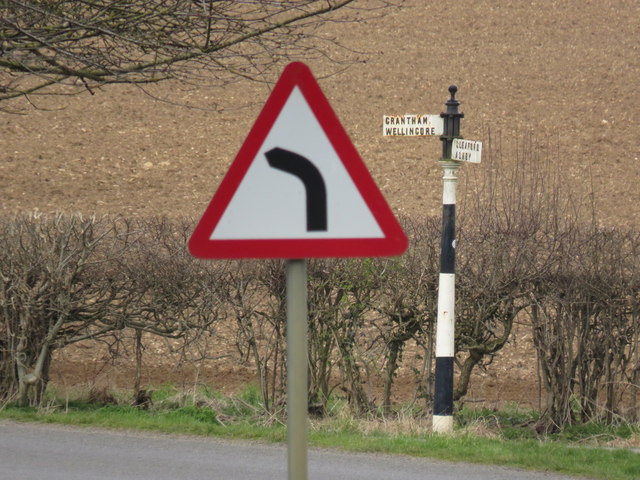
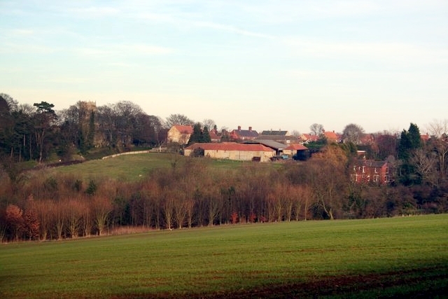
Gorse Hill Covert Images

Images are sourced within 2km of 53.096939/-0.48457189 or Grid Reference TF0156. Thanks to Geograph Open Source API. All images are credited.

Lincolnshire farmland and a distant powerline
A15 Northbound
A15 Northbound
Speed camera sign on the A15
Gorse Hill Lane
Gorse Hill Lane
Field off Gorse Hill Lane
Flush Bracket G1470: Temple High Grange Farm Flush bracket on a cottage attached to farm buildings.  See <a title="https://www.geograph.org.uk/photo/5280573" href="https://www.geograph.org.uk/photo/5280573">Link</a> for a wider view and <span class="nowrap"><a title="http://www.bench-marks.org.uk/bm13669" rel="nofollow ugc noopener" href="http://www.bench-marks.org.uk/bm13669">Link</a><img style="margin-left:2px;" alt="External link" title="External link - shift click to open in new window" src="https://s1.geograph.org.uk/img/external.png" width="10" height="10"/></span> for details.
Flush Bracket G1470: Temple High Grange Farm
Flush bracket on a cottage attached to farm buildings. See Link for a wider view and LinkExternal link for details.
Temple High Grange Farm Cottage attached to farm buildings.  By the porch and behind the bins is a flush bracket benchmark.  See <a title="https://www.geograph.org.uk/photo/5280569" href="https://www.geograph.org.uk/photo/5280569">Link</a> for a close-up and <span class="nowrap"><a title="http://www.bench-marks.org.uk/bm13669" rel="nofollow ugc noopener" href="http://www.bench-marks.org.uk/bm13669">Link</a><img style="margin-left:2px;" alt="External link" title="External link - shift click to open in new window" src="https://s1.geograph.org.uk/img/external.png" width="10" height="10"/></span> for details.
Temple High Grange Farm
Cottage attached to farm buildings. By the porch and behind the bins is a flush bracket benchmark. See Link for a close-up and LinkExternal link for details.
Cut Mark: Highfield House Farm Cut bench mark on the gable end of a farm building.  See <a title="https://www.geograph.org.uk/photo/5287894" href="https://www.geograph.org.uk/photo/5287894">Link</a> for a wider view and <span class="nowrap"><a title="http://www.bench-marks.org.uk/bm41219" rel="nofollow ugc noopener" href="http://www.bench-marks.org.uk/bm41219">Link</a><img style="margin-left:2px;" alt="External link" title="External link - shift click to open in new window" src="https://s1.geograph.org.uk/img/external.png" width="10" height="10"/></span> for details.
Cut Mark: Highfield House Farm
Cut bench mark on the gable end of a farm building. See Link for a wider view and LinkExternal link for details.
Farm building and fuel pump at Highfield House Farm The building carries a cut bench mark near the drain pipe on the left.  See <a title="https://www.geograph.org.uk/photo/5287890" href="https://www.geograph.org.uk/photo/5287890">Link</a> for a closer view and <span class="nowrap"><a title="http://www.bench-marks.org.uk/bm41219" rel="nofollow ugc noopener" href="http://www.bench-marks.org.uk/bm41219">Link</a><img style="margin-left:2px;" alt="External link" title="External link - shift click to open in new window" src="https://s1.geograph.org.uk/img/external.png" width="10" height="10"/></span> for details.
Farm building and fuel pump at Highfield House Farm
The building carries a cut bench mark near the drain pipe on the left. See Link for a closer view and LinkExternal link for details.
Country road
Country road
Country road
Country road
Country road
Country road
Old Direction Sign - Signpost by Heath Lane, Wellingore parish Pawn finial - 2 arms; Lincolnshire post by the UC road, in parish of Wellingore (North Kesteven District), junction of Heath Lane and Gorse Hill Lane, by grass triangle.

Surveyed

Milestone Society National ID: LI_TF0055
Old Direction Sign - Signpost by Heath Lane, Wellingore parish
Pawn finial - 2 arms; Lincolnshire post by the UC road, in parish of Wellingore (North Kesteven District), junction of Heath Lane and Gorse Hill Lane, by grass triangle. Surveyed Milestone Society National ID: LI_TF0055
Sleaford Road near Navenby The whole east side of England was misty this day, as I went from one end to the other and saw it.
Sleaford Road near Navenby
The whole east side of England was misty this day, as I went from one end to the other and saw it.
An accompanied horse warning sign on a remote country lane
An old metal fingerpost sign with a modern road sign in the foreground <a href="https://www.geograph.org.uk/photo/6049218">TF0055 : Old Direction Sign - Signpost by Heath Lane, Wellingore parish</a>
An old metal fingerpost sign with a modern road sign in the foreground
St.John's church, Temple Bruer, Lincs. Temple Bruer is best known for the remains of the Templar Preceptory, this little church by Fowler in 1874 stands less than mile north of the preceptory remains.
St.John's church, Temple Bruer, Lincs.
Temple Bruer is best known for the remains of the Templar Preceptory, this little church by Fowler in 1874 stands less than mile north of the preceptory remains.
Temple High Grange Cottages View across farmland to Temple High Grange Cottages on Scopwick Heath
Temple High Grange Cottages
View across farmland to Temple High Grange Cottages on Scopwick Heath
Show me another place!

Gorse Hill Covert is located at Grid Ref: TF0156 (Lat: 53.096939, Lng: -0.48457189)

Administrative County: Lincolnshire

District: North Kesteven

Police Authority: Lincolnshire

What 3 Words

///servicing.vesting.crypt. Near Navenby, Lincolnshire

Nearby Locations

Gorse Hill Covert

Related Wikis

Thompson's Bottom

Thompson's Bottom is a hamlet in the North Kesteven district of Lincolnshire, England. It is situated just under 0.5 miles (0.8 km) west from the A15 road...

Navenby

Navenby is a village and civil parish in the North Kesteven district of Lincolnshire, England. Lying 8 miles (13 km) south from Lincoln and 9 miles (14...

Temple Bruer Preceptory

Temple Bruer Preceptory is a historic building in the civil parish of Temple Bruer with Temple High Grange, North Kesteven, Lincolnshire, England. It...

Temple Bruer with Temple High Grange

Temple Bruer with Temple High Grange is a civil parish and a former extra-parochial area in North Kesteven, Lincolnshire, England which had in the Medieval...

Nearby Amenities

Located within 500m of 53.096939,-0.48457189
Ele: 38
Lat/Long: 53.0943828/-0.4876519
Power: tower
Lat/Long: 53.0930111/-0.4852418
Power: tower
Lat/Long: 53.0950728/-0.4868296
Power: tower
Lat/Long: 53.0986289/-0.4873875
The data included in this document is from www.openstreetmap.org. The data is made available under ODbL.

Have you been to Gorse Hill Covert?

Leave your review of Gorse Hill Covert below (or comments, questions and feedback).