New Spinney
Wood, Forest in Lincolnshire North Kesteven
England
New Spinney

New Spinney is a small village located in the county of Lincolnshire, England. Situated in the heart of the Lincolnshire Wolds, it is known for its picturesque woodland and forested areas, which give the village its distinctive charm. With a population of around 500 residents, it offers a close-knit community feel and a peaceful rural lifestyle.
The village is surrounded by lush greenery, with numerous woodlands and forests dotting the landscape. These natural areas provide ample opportunities for outdoor activities, such as hiking, cycling, and birdwatching. The diverse range of wildlife found in the woodlands is a major attraction for nature enthusiasts.
New Spinney boasts a rich history, with evidence of human occupation dating back to the Roman era. The village is home to several historic landmarks, including the St. Mary's Church, which dates back to the 12th century, and the Old Mill, a restored windmill that now serves as a popular tourist attraction.
Despite its small size, New Spinney offers essential amenities and services to its residents. The village has a local pub, a primary school, a village hall, and a post office, ensuring that the basic needs of the community are met. Additionally, the village hosts various events and festivals throughout the year, fostering a strong sense of community spirit.
Overall, New Spinney, Lincolnshire is a charming village that combines natural beauty with a rich history and a close-knit community. It provides a tranquil haven for those seeking a peaceful rural lifestyle amidst the picturesque woodlands of the Lincolnshire Wolds.
If you have any feedback on the listing, please let us know in the comments section below.
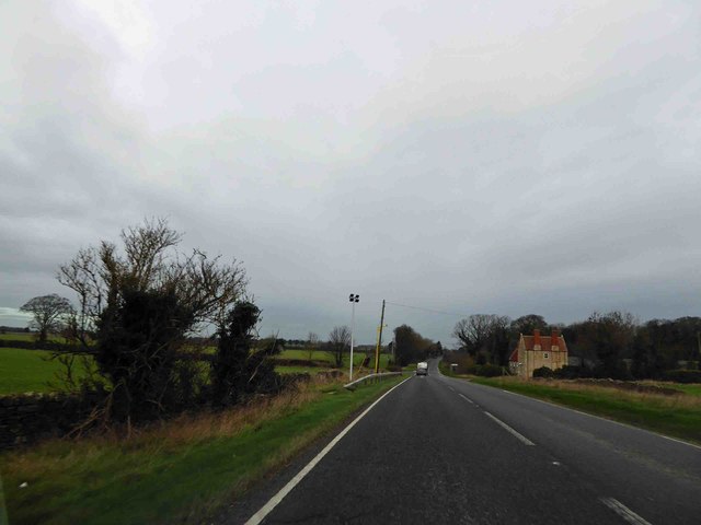
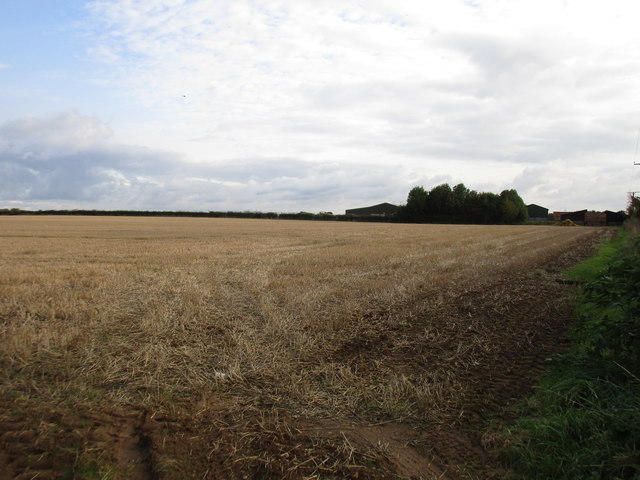
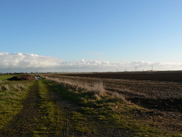
New Spinney Images
Images are sourced within 2km of 53.136027/-0.48382462 or Grid Reference TF0160. Thanks to Geograph Open Source API. All images are credited.


New Spinney is located at Grid Ref: TF0160 (Lat: 53.136027, Lng: -0.48382462)
Administrative County: Lincolnshire
District: North Kesteven
Police Authority: Lincolnshire
What 3 Words
///nipping.prettiest.boom. Near Navenby, Lincolnshire
Nearby Locations
Related Wikis
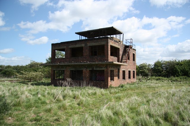
RAF Coleby Grange
Royal Air Force Coleby Grange or more simply RAF Coleby Grange was a Royal Air Force satellite station situated alongside the western edge of the A15 on...
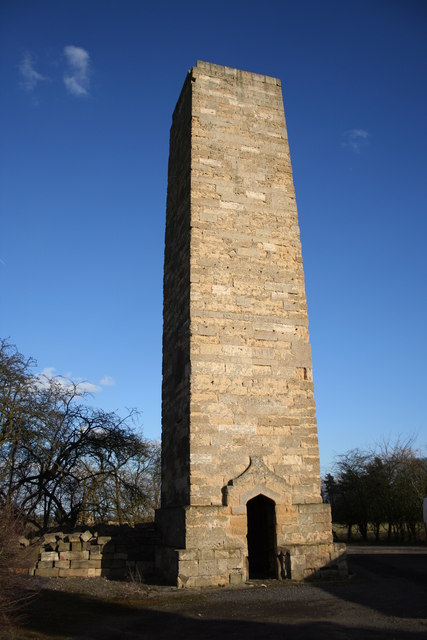
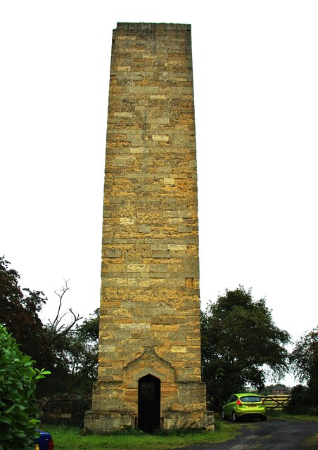
Dunston Pillar
Dunston Pillar is a Grade II listed stone tower in Lincolnshire, England and a former 'land lighthouse'. It stands beside the A15 road approximately 6...
North Kesteven
North Kesteven is a local government district in Lincolnshire, England. The council is based in Sleaford. The district also contains the town of North...

Boothby Graffoe
Boothby Graffoe is a village and civil parish in the North Kesteven district of Lincolnshire, England. The population of the civil parish at the 2011 census...
Nearby Amenities
Located within 500m of 53.136027,-0.48382462Have you been to New Spinney?
Leave your review of New Spinney below (or comments, questions and feedback).