Peggy's Holt
Wood, Forest in Lincolnshire North Kesteven
England
Peggy's Holt
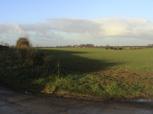
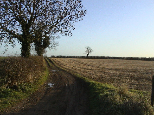
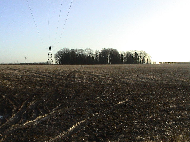
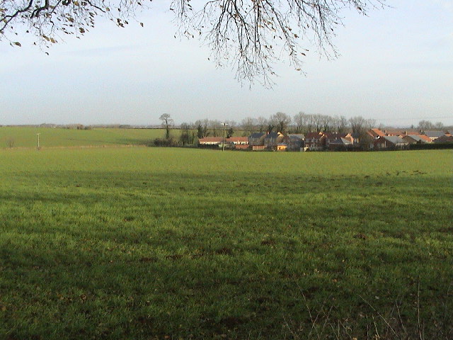
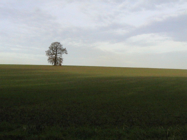
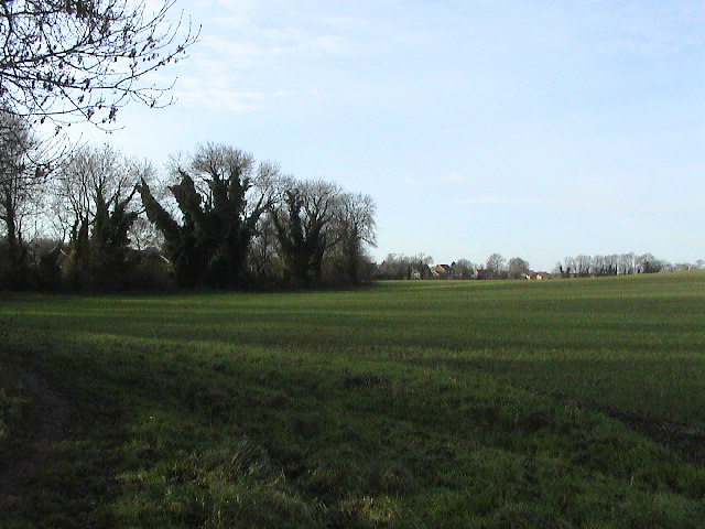
Peggy's Holt is a charming woodland area nestled in the heart of Lincolnshire, England. Located just a few miles outside the town of Wood, this forested haven offers a tranquil escape from the bustling city life. With its lush greenery, diverse flora, and enchanting wildlife, Peggy's Holt is a popular destination for nature lovers and outdoor enthusiasts.
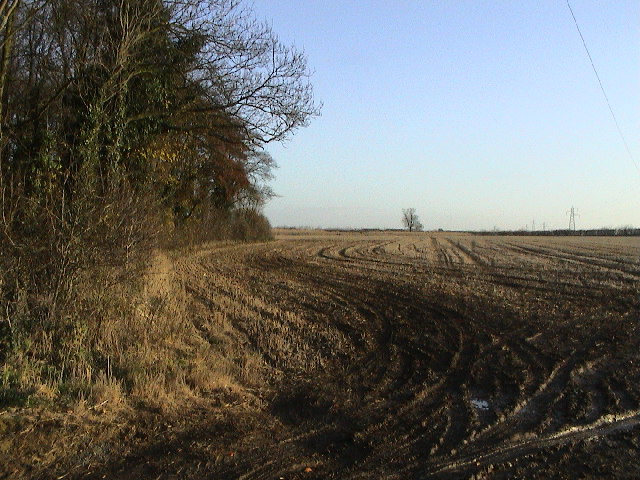
Stretching over 100 acres, the forest is characterized by its dense canopy of towering trees, including oak, beech, and birch. These majestic giants provide a serene atmosphere and create a picturesque landscape that is perfect for leisurely strolls or adventurous hikes.
Peggy's Holt is home to a myriad of wildlife, making it a haven for animal enthusiasts. Visitors can spot various species of birds, such as woodpeckers, owls, and finches, as well as small mammals like squirrels and rabbits. The forest also boasts a diverse range of plants and flowers, adding splashes of color and fragrance to the surroundings.
The woodland area offers a network of well-maintained trails, allowing visitors to explore the forest at their own pace. Whether it's a leisurely walk, a family picnic, or a more challenging trek, Peggy's Holt caters to all levels of fitness and adventure. Additionally, the forest features several picnic areas and benches, providing ample opportunities for visitors to relax and immerse themselves in the peaceful ambiance.
Peggy's Holt is open year-round and offers a magical experience for nature enthusiasts, providing a sanctuary for both flora and fauna. Whether you are seeking solitude, seeking inspiration, or simply looking to connect with nature, Peggy's Holt in Lincolnshire is a destination that promises to leave a lasting impression.
If you have any feedback on the listing, please let us know in the comments section below.
Peggy's Holt Images
Images are sourced within 2km of 53.19175/-0.48702354 or Grid Reference TF0167. Thanks to Geograph Open Source API. All images are credited.


Peggy's Holt is located at Grid Ref: TF0167 (Lat: 53.19175, Lng: -0.48702354)
Administrative County: Lincolnshire
District: North Kesteven
Police Authority: Lincolnshire
What 3 Words
///amazed.sleepy.tailing. Near Branston, Lincolnshire
Nearby Locations
Related Wikis
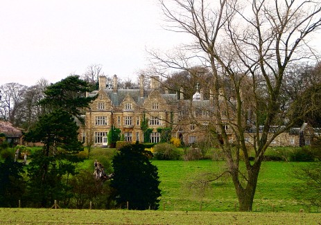
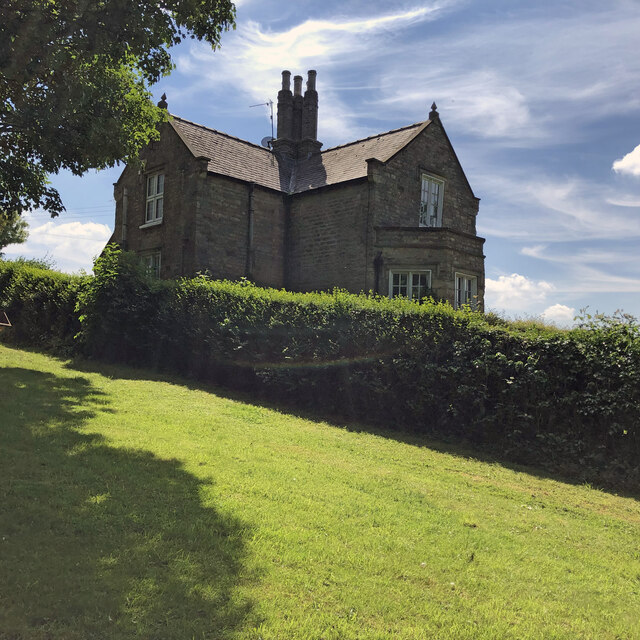
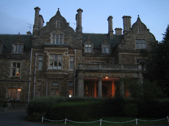
Branston Hall
Branston Hall is a country house in the village of Branston, Lincolnshire, England. The hall, a Grade II listed building, is set in 88 acres (3.56 square...

Branston, Lincolnshire
Branston is a large village in the civil parish of Branston and Mere, in the North Kesteven district of Lincolnshire, England, 4 miles (6 km) south-east...

Branston Rural District
Branston was a rural district in Kesteven in Lincolnshire, England from 1894 to 1931. It was formed under the Local Government Act 1894 from the part...

Branston Community Academy
Branston Community Academy, (formerly Branston School and Community College) is a secondary school for 11- to 18-year-old students on Station Road in Branston...

Branston and Mere
Branston and Mere is a civil parish in the North Kesteven district of Lincolnshire, England, about 4 miles (6 km) roughly south-east of Lincoln. The parish...
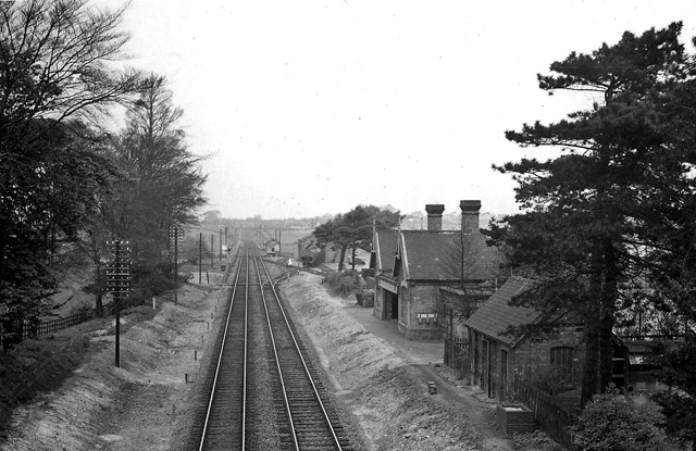
Branston and Heighington railway station
Branston and Heighington railway station was a station in the village of Heighington, Lincolnshire, on the line between Lincoln and Sleaford. == References ==

Heighington, Lincolnshire
Heighington ( HAY-ing-tən) is a village and civil parish in the North Kesteven district of Lincolnshire, England. It is situated about 4 miles (6 km) south...

Fens and Anglian system
The Fens and Anglian system is a collection of rivers in East Anglia in England that are navigable and for which the Environment Agency is the navigation...
Nearby Amenities
Located within 500m of 53.19175,-0.48702354Have you been to Peggy's Holt?
Leave your review of Peggy's Holt below (or comments, questions and feedback).