Baldwin's Wood
Wood, Forest in Hertfordshire Dacorum
England
Baldwin's Wood
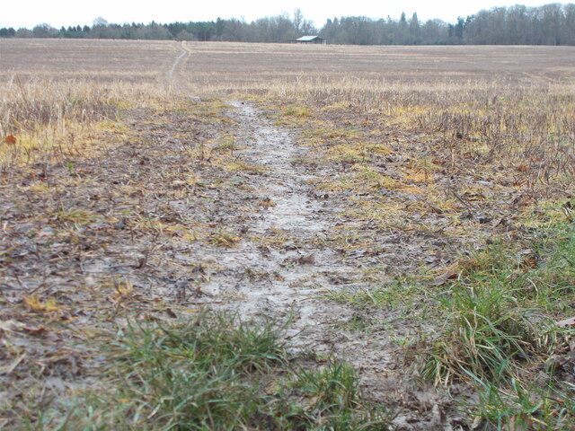
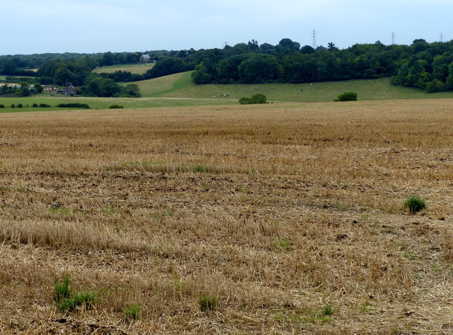
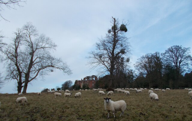
Baldwin's Wood is a picturesque woodland located in Hertfordshire, England. Covering an area of approximately 100 acres, the wood is known for its natural beauty and diverse range of flora and fauna. It is situated near the village of Baldwin's Hill, which is part of the wider district of Broxbourne.
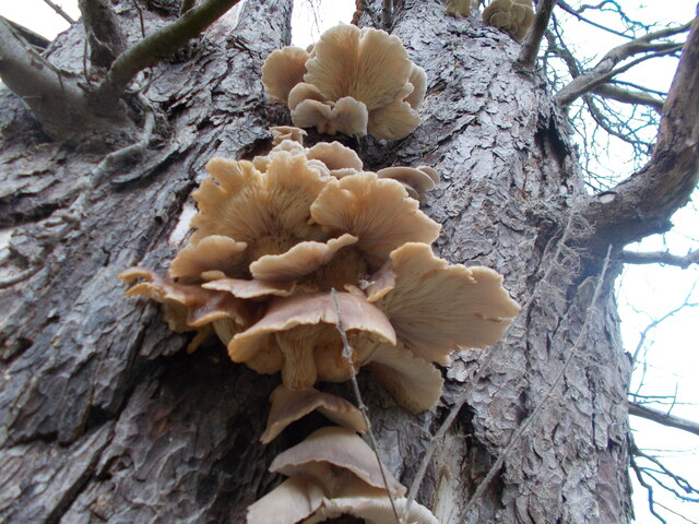
The woodland is characterized by its dense canopy of oak, beech, and birch trees, which provide a rich habitat for various species of birds, mammals, and insects. The forest floor is adorned with a tapestry of wildflowers, including bluebells, primroses, and wood anemones, creating a stunning display during the spring months.
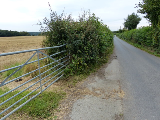
Baldwin's Wood is a popular destination for nature enthusiasts, offering numerous walking trails that meander through its ancient trees and tranquil surroundings. The wood is managed by the local authorities, ensuring the preservation of its natural heritage and the safety of visitors.
Aside from its natural beauty, the wood also holds historical significance. It is believed to have been part of the ancient forest that covered much of Hertfordshire during the medieval period. Remnants of old boundary banks and ditches can still be seen, adding to the sense of history that permeates the area.
Overall, Baldwin's Wood is a haven of tranquility and natural wonder, offering visitors the opportunity to immerse themselves in the beauty of the Hertfordshire countryside. Whether it is for a leisurely stroll, wildlife spotting, or simply to escape the hustle and bustle of everyday life, this woodland is a must-visit destination for anyone seeking a peaceful retreat in a stunning natural setting.
If you have any feedback on the listing, please let us know in the comments section below.
Baldwin's Wood Images
Images are sourced within 2km of 51.682947/-0.5382423 or Grid Reference TQ0199. Thanks to Geograph Open Source API. All images are credited.


Baldwin's Wood is located at Grid Ref: TQ0199 (Lat: 51.682947, Lng: -0.5382423)
Administrative County: Hertfordshire
District: Dacorum
Police Authority: Hertfordshire
What 3 Words
///manual.indoor.host. Near Little Chalfont, Buckinghamshire
Nearby Locations
Related Wikis
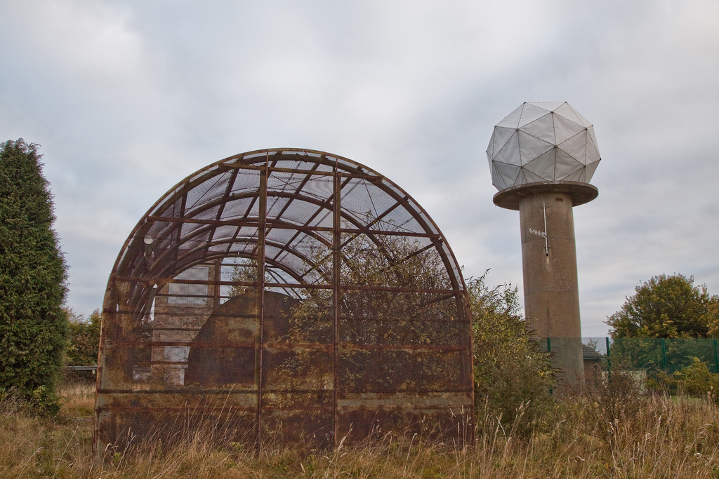
RAF Chenies
RAF Chenies is a former Royal Air Force radar intercept station located 1.4 miles (2.3 km) North of the village of Chenies in Buckinghamshire, built in...

Chenies
Chenies is a village and civil parish in south-east Buckinghamshire, England. It is on the border with Hertfordshire, east of Amersham and north of Chorleywood...
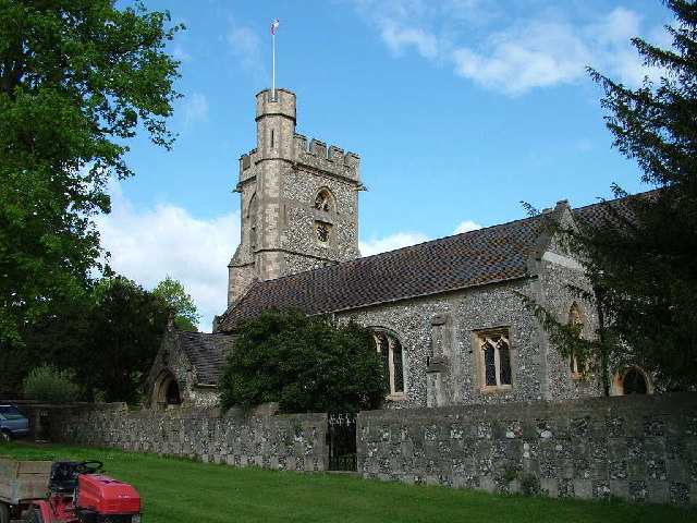
St Michael's, Chenies
St Michael's Church at Chenies, Buckinghamshire, is a Grade I listed Anglican parish church in the Diocese of Oxford in England. It is not of great architectural...
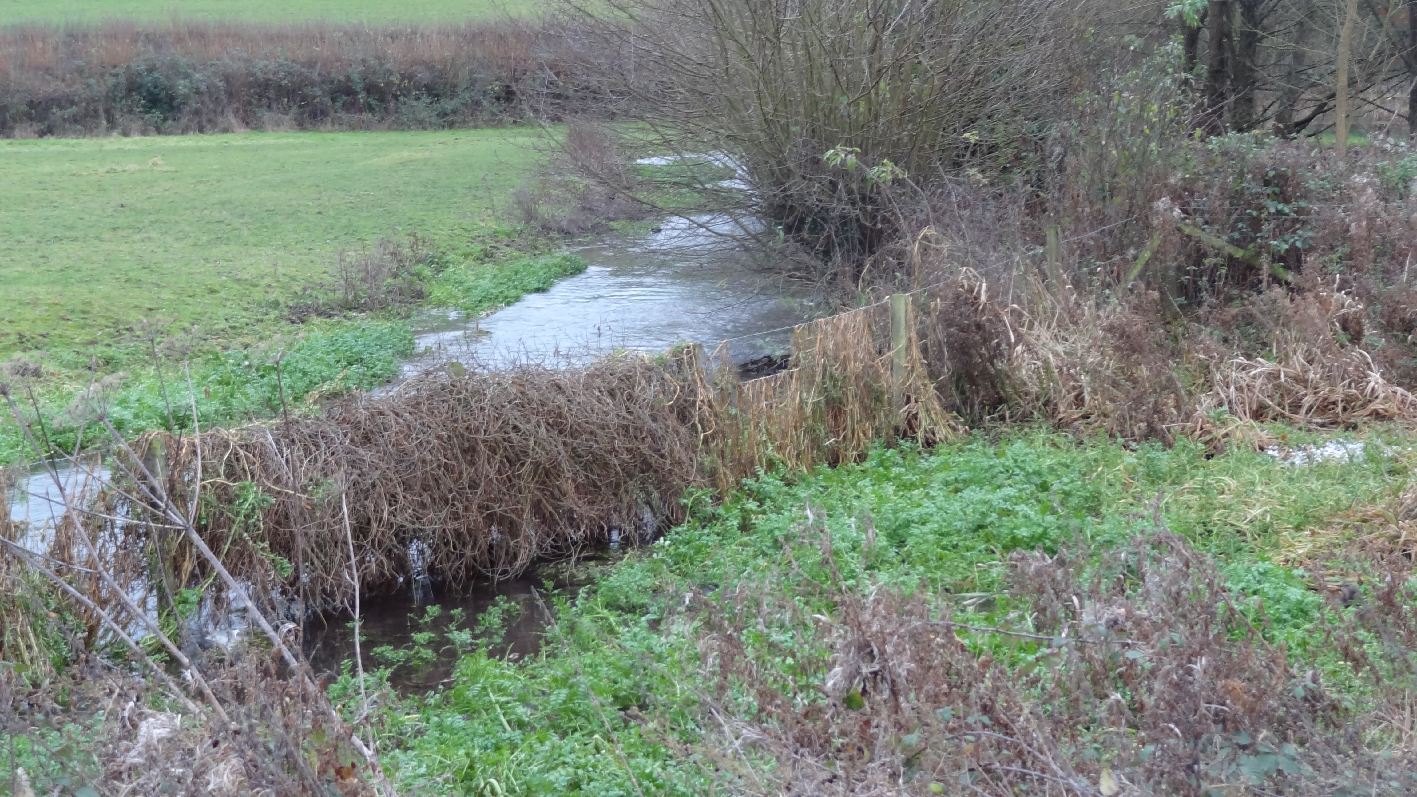
Frogmore Meadows
Frogmore Meadows is a 4.6-hectare (11-acre) biological Site of Special Scientific Interest in Hertfordshire and Buckinghamshire, north of the village of...

Chenies Manor House
Chenies Manor House in the parish of Chenies in Buckinghamshire, England, is a Tudor Grade I listed building once known as Chenies Palace, although it...

Latimer, Buckinghamshire
Latimer is a village that sits on the border between Buckinghamshire and Hertfordshire, England. In 2013, the civil parish of Latimer was renamed, Latimer...
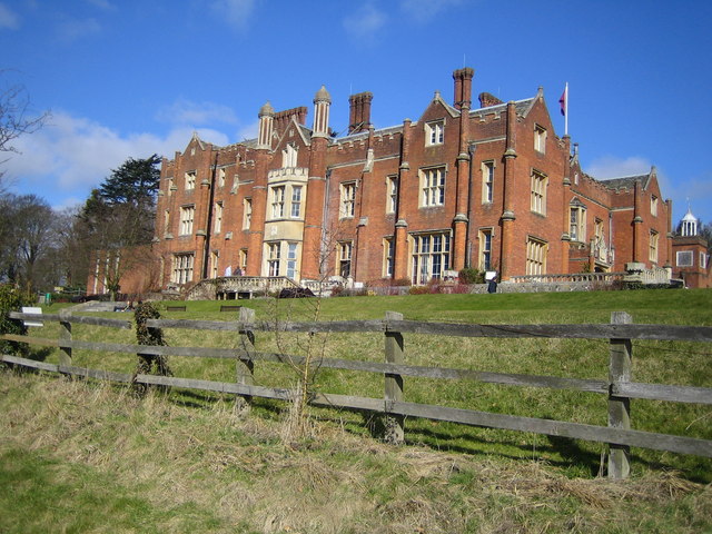
Latimer House
Latimer House is a large country house at Latimer, Buckinghamshire. It is now branded as De Vere Latimer Estate and functions as a countryside hotel used...
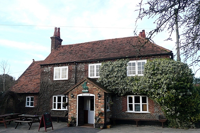
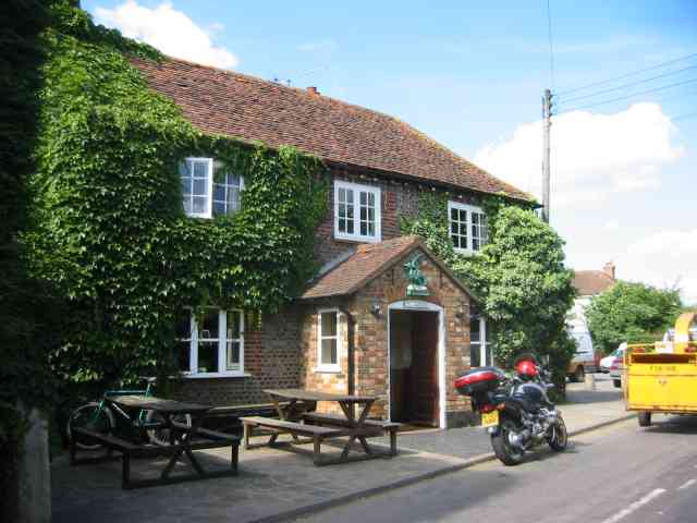
The Green Dragon, Flaunden
The Green Dragon is a Grade II listed public house in Flaunden, Hertfordshire, England. The rear wing, a timber-framed structure, is the oldest part of...
Nearby Amenities
Located within 500m of 51.682947,-0.5382423Have you been to Baldwin's Wood?
Leave your review of Baldwin's Wood below (or comments, questions and feedback).