High Wood
Wood, Forest in Lincolnshire North Kesteven
England
High Wood
High Wood is a small woodland located in the county of Lincolnshire, in the east of England. Situated near the village of Wood, it covers an area of approximately 20 hectares. The wood is primarily composed of broadleaf trees such as oak, beech, and birch, creating a diverse and picturesque landscape.
High Wood is known for its rich biodiversity, providing a habitat for various species of wildlife. The woodland is home to a wide range of birds, including woodpeckers, owls, and thrushes, as well as mammals such as deer, foxes, and squirrels. The forest floor is covered in a carpet of bluebells and other wildflowers during the spring, creating a vibrant and colorful display.
The wood offers several walking trails for visitors to explore its natural beauty. These trails wind through the trees, allowing visitors to immerse themselves in the peaceful and serene atmosphere of the woodland. There are also picnic areas and benches dotted throughout the wood, providing opportunities for visitors to relax and enjoy the surroundings.
High Wood holds historical significance as well. It is believed to have been part of the ancient Forest of Kesteven, which covered a large area of Lincolnshire during medieval times. The wood has been managed by local authorities to preserve its natural beauty and protect its wildlife.
Overall, High Wood in Lincolnshire is a charming and tranquil woodland, offering a haven for nature lovers and those seeking a peaceful retreat amidst the beauty of the natural world.
If you have any feedback on the listing, please let us know in the comments section below.
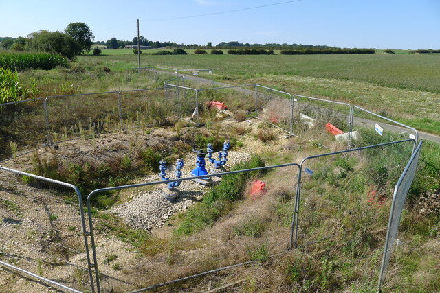
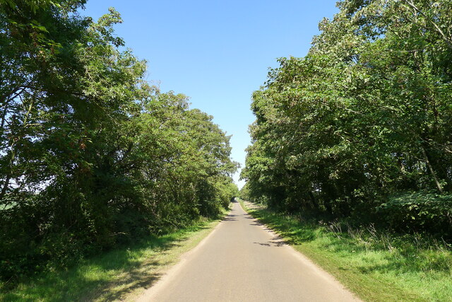
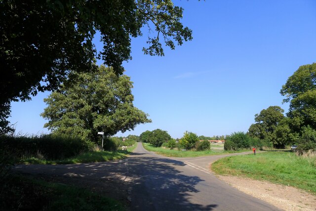
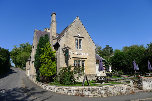
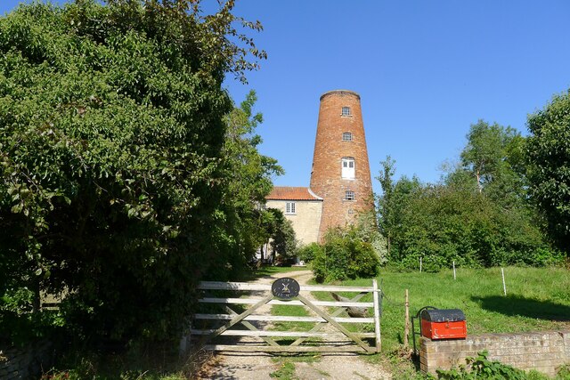
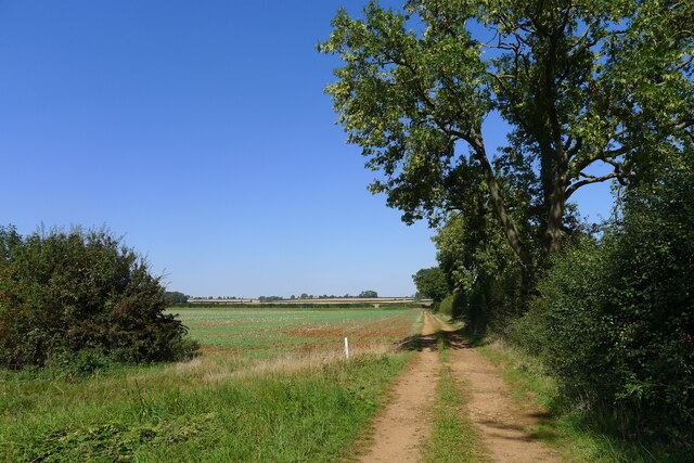
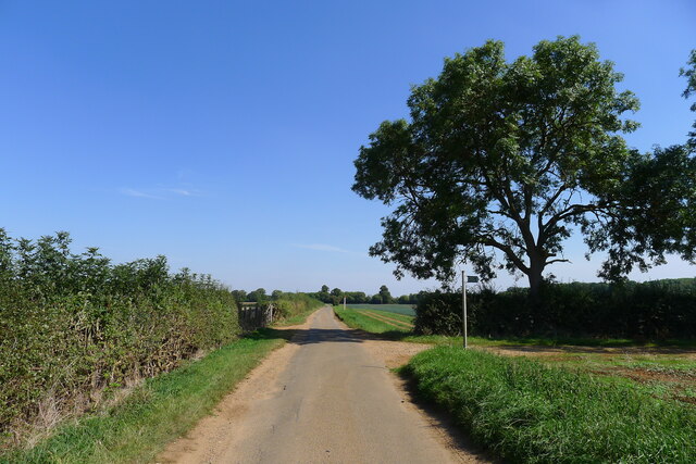
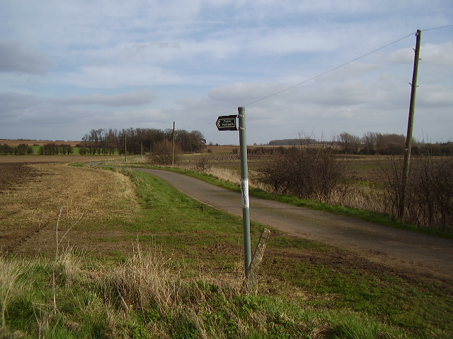
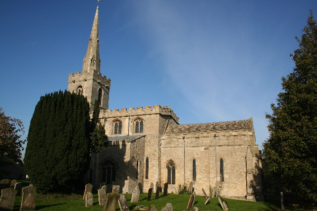
High Wood Images
Images are sourced within 2km of 53.005199/-0.49538764 or Grid Reference TF0146. Thanks to Geograph Open Source API. All images are credited.


High Wood is located at Grid Ref: TF0146 (Lat: 53.005199, Lng: -0.49538764)
Administrative County: Lincolnshire
District: North Kesteven
Police Authority: Lincolnshire
What 3 Words
///sublime.outlined.cries. Near Ancaster, Lincolnshire
Nearby Locations
Related Wikis

North Rauceby
North Rauceby is a village and civil parish in the North Kesteven district of Lincolnshire, England. It is situated 4 miles (6 km) north-west from Sleaford...

South Rauceby
South Rauceby is a village and civil parish in the North Kesteven district of Lincolnshire, England. It is situated 2.5 miles (4.0 km) west from Sleaford...

South Rauceby Hall
South Rauceby Hall, South Rauceby, Lincolnshire, England is a country house dating from the mid-19th century. It was designed by William Burn in 1842 for...

No. 16 Squadron RAF
Number 16 Squadron Royal Air Force, nicknamed 'the Saints', is a flying squadron of the Royal Air Force (RAF) who currently provide elementary flying training...
Wilsford, Lincolnshire
Wilsford is a village and civil parish in the North Kesteven district of Lincolnshire, England. The population of the civil parish was 400 at the 2011...

RAF Cranwell
Royal Air Force Cranwell or more simply RAF Cranwell (ICAO: EGYD) is a Royal Air Force station in Lincolnshire, England, close to the village of Cranwell...

Central Flying School
The Central Flying School (CFS) is the Royal Air Force's primary institution for the training of military flying instructors. Established in 1912 at the...
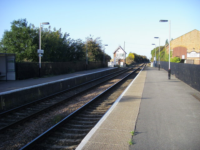
Ancaster railway station
Ancaster railway station serves the village of Ancaster in Lincolnshire, England. The station is 11.5 miles (19 km) north of Grantham on the Nottingham...
Nearby Amenities
Located within 500m of 53.005199,-0.49538764Have you been to High Wood?
Leave your review of High Wood below (or comments, questions and feedback).