Coleshill Wood
Wood, Forest in Buckinghamshire Dacorum
England
Coleshill Wood

Coleshill Wood is a picturesque forest located in Buckinghamshire, England. It covers an area of approximately 1,000 acres and is known for its diverse range of flora and fauna. The wood is situated near the village of Coleshill, providing a tranquil escape for locals and visitors alike.
The woodland is predominantly made up of broadleaf trees, including oak, beech, and birch, which create a dense canopy overhead. These trees provide a habitat for a variety of wildlife, such as deer, foxes, badgers, and numerous bird species. It is not uncommon to spot woodpeckers, owls, and various songbirds fluttering among the branches.
Coleshill Wood offers a range of walking trails, allowing visitors to explore the natural beauty of the area. The paths wind through the forest, leading to hidden clearings and secluded ponds. There are also designated picnic areas where visitors can relax and enjoy the peaceful surroundings.
The wood is managed by the Forestry Commission, ensuring the preservation of its natural beauty and providing opportunities for sustainable forest management. As a result, Coleshill Wood has become a valuable educational resource, offering guided nature walks and educational programs for schools and community groups.
With its enchanting woodland scenery and abundant wildlife, Coleshill Wood is a haven for nature lovers and a popular destination for outdoor enthusiasts. Whether it's a leisurely stroll through the trees or a chance to spot some of the local wildlife, this forest offers a truly immersive experience in the heart of Buckinghamshire.
If you have any feedback on the listing, please let us know in the comments section below.
Coleshill Wood Images
Images are sourced within 2km of 51.735671/-0.5394093 or Grid Reference TL0005. Thanks to Geograph Open Source API. All images are credited.


Coleshill Wood is located at Grid Ref: TL0005 (Lat: 51.735671, Lng: -0.5394093)
Administrative County: Hertfordshire
District: Dacorum
Police Authority: Hertfordshire
What 3 Words
///desks.mugs.heavy. Near Bovingdon, Hertfordshire
Nearby Locations
Related Wikis

South West Hertfordshire (UK Parliament constituency)
South West Hertfordshire is a constituency in the House of Commons of the UK Parliament, represented since 2019 by Gagan Mohindra, a Conservative. ��2...
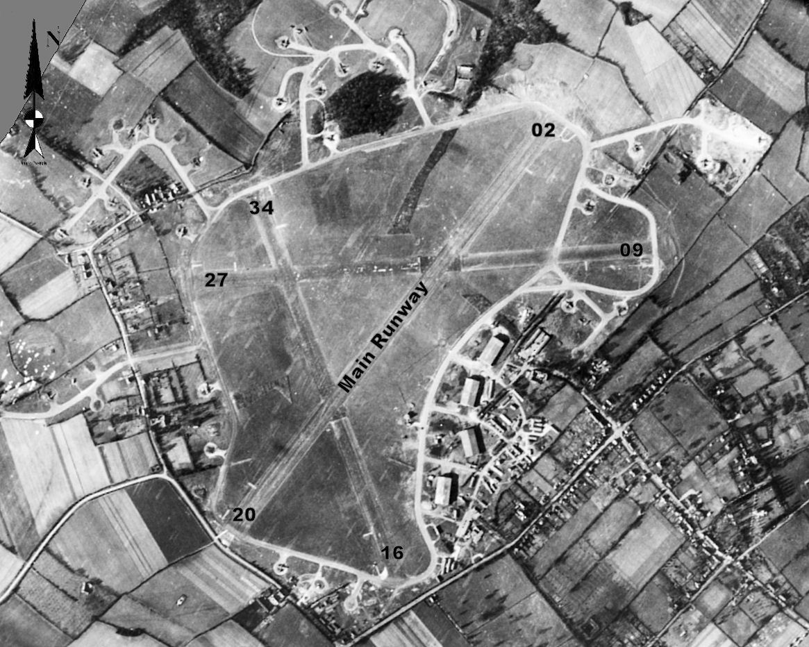
RAF Bovingdon
Royal Air Force Bovingdon or more simply RAF Bovingdon is a former Royal Air Force station located near the village of Bovingdon, Hertfordshire, England...

HM Prison The Mount
HM Prison The Mount is a Category C men's prison, located on the outskirts of Bovingdon village in Hertfordshire, England. The Mount Prison is operated...
Heathrow arrival stacks
Inbound aircraft to London Heathrow Airport typically follow one of a number of Standard Arrival Routes (STARs). The STARs each terminate at one of four...
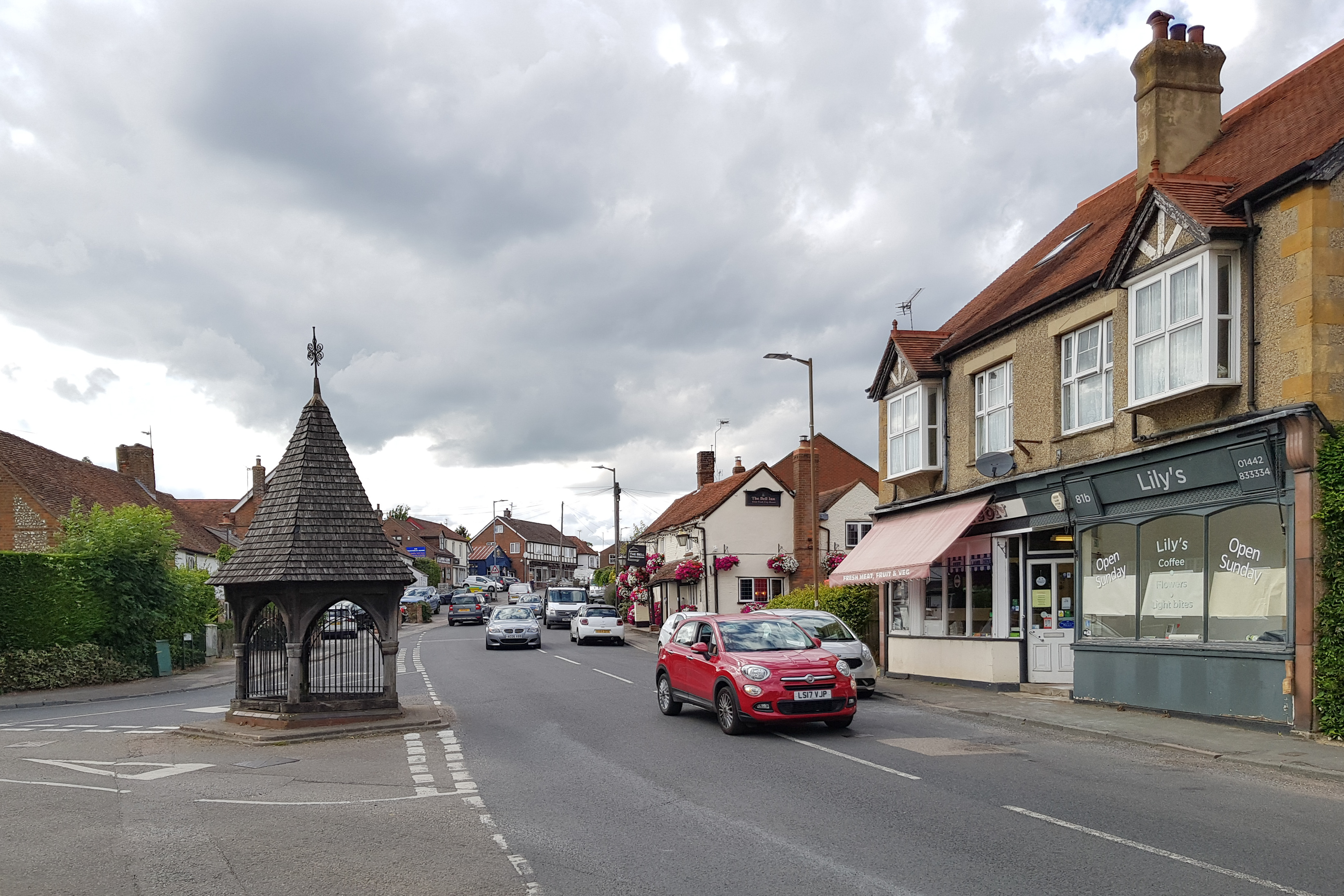
Bovingdon
Bovingdon is a village in Hertfordshire, England, 4 miles (6.4 km) southwest of Hemel Hempstead, and it is a civil parish within the local authority area...
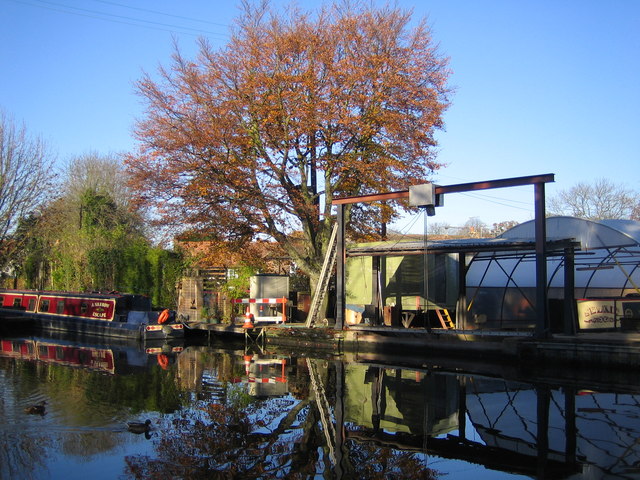
Bourne End, Hertfordshire
Bourne End is a village in Hertfordshire, England. It is situated on the ancient Roman Akeman Street between Berkhamsted and Hemel Hempstead, on the former...
Whelpley Hill
Whelpley Hill is a hamlet in the parish of Ashley Green in Buckinghamshire, England. It is located to the east of Chesham, near the border with Hertfordshire...
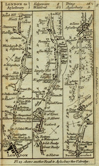
Sparrows Herne Turnpike Road
Sparrows Herne Turnpike Road from London to Aylesbury was an 18th-century English toll road passing through Watford and Hemel Hempstead. The route was...
Nearby Amenities
Located within 500m of 51.735671,-0.5394093Have you been to Coleshill Wood?
Leave your review of Coleshill Wood below (or comments, questions and feedback).