Bennett's New Covert

Wood, Forest in Lincolnshire

England

Bennett's New Covert

A15 Ice warning sign
A15 Ice warning sign Credit: Colin Pyle

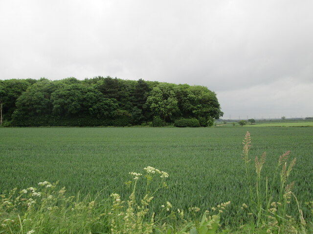
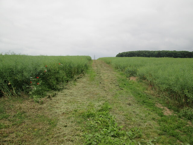
Bennett's New Covert, located in Lincolnshire, is a stunning woodland forest that offers visitors a tranquil and immersive experience in the heart of nature. Spanning over a vast area, this enchanting forest is a haven for outdoor enthusiasts and nature lovers.

The forest is characterized by its dense woodland, composed primarily of hardwood trees such as oak, birch, and beech, creating a picturesque landscape that changes with the seasons. The forest floor is covered with a rich carpet of ferns, mosses, and wildflowers, adding to its natural beauty and providing a habitat for a diverse range of animal species.

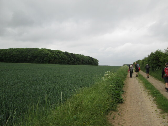
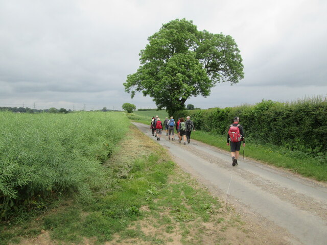
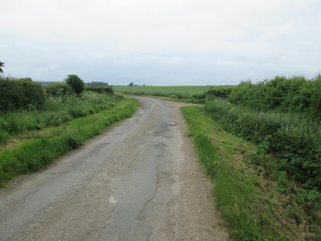
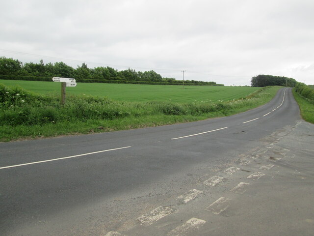
Visitors to Bennett's New Covert can explore the forest through a network of well-maintained walking trails, which wind through the trees and offer breathtaking views of the surrounding area. These trails cater to all levels of fitness, from leisurely strolls to more challenging hikes, ensuring that everyone can enjoy the forest at their own pace.

The forest is also home to an abundance of wildlife, with various species of birds, mammals, and insects calling it their habitat. Birdwatchers will be delighted to spot species such as woodpeckers, owls, and songbirds, while nature enthusiasts may encounter deer, foxes, and even the elusive badger.

For those seeking a peaceful retreat, Bennett's New Covert offers several secluded picnic areas, where visitors can relax and enjoy a picnic amidst the serenity of the forest. Additionally, camping facilities are available for those who wish to extend their stay and immerse themselves further in the natural wonders of the woodland.

Overall, Bennett's New Covert is a captivating forest that provides a genuine escape from the hustle and bustle of everyday life, offering visitors an opportunity to reconnect with nature and create lasting memories in this idyllic setting.

If you have any feedback on the listing, please let us know in the comments section below.

Bennett's New Covert Images

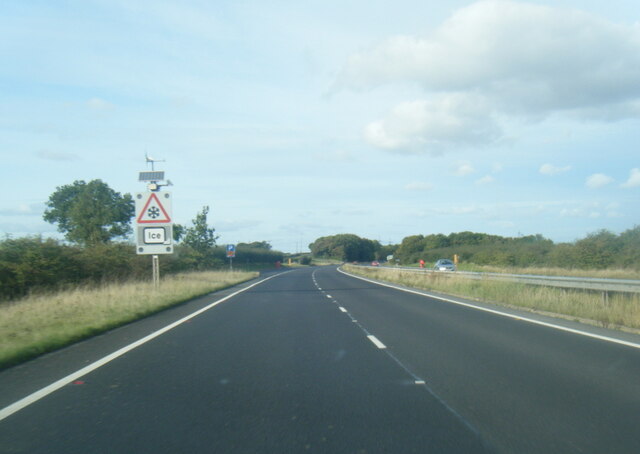
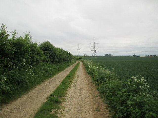
Images are sourced within 2km of 53.642478/-0.47478195 or Grid Reference TA0017. Thanks to Geograph Open Source API. All images are credited.

A15 Ice warning sign
Bonby Lane
Bonby Lane
Entrance to Field House Farm
Entrance to Hall Top
Looking  back  on  field  edge  track,  the  Viking  Way
Looking back on field edge track, the Viking Way
Walking  Viking  Way  toward  Turton's Covert
Walking Viking Way toward Turton's Covert
Turton's  Covert  from  Viking  Way
Turton's Covert from Viking Way
Viking  Way  through  cleared  path  in  Oil  Seed  Rape  field Turton's Covert on skyline to the right
Viking Way through cleared path in Oil Seed Rape field
Turton's Covert on skyline to the right
Short  section  of  lane  walking  on  the Viking  Way A minor country lane
Short section of lane walking on the Viking Way
A minor country lane
Coming  to  bridleway  crossroad  on  minor  country  lane On the bend the Viking Way goes right and to the left a bridleway goes over fields to Horkstow Road. The lane is in need of repair, but no major potholes!
Coming to bridleway crossroad on minor country lane
On the bend the Viking Way goes right and to the left a bridleway goes over fields to Horkstow Road. The lane is in need of repair, but no major potholes!
Minor  road  junction  with  Brigg  Road  B1218
Minor road junction with Brigg Road B1218
Pylons in a field of oilseed rape This is on the top of the Lincolnshire Wolds near North Wold Farm.
Pylons in a field of oilseed rape
This is on the top of the Lincolnshire Wolds near North Wold Farm.
Middlegate The junction of Saxby Hill with Middlegate on Saxby Wolds
Middlegate
The junction of Saxby Hill with Middlegate on Saxby Wolds
Former chalk quarry Long-disused chalk quarry on Saxby Wolds
Former chalk quarry
Long-disused chalk quarry on Saxby Wolds
Middlegate Country road on Saxby Wolds
Middlegate
Country road on Saxby Wolds
Middlegate Junction on Middlegate on the escarpment above Saxby
Middlegate
Junction on Middlegate on the escarpment above Saxby
A Ploughed Field on Saxby Wolds Photo shows Chalky nature of the soil. The hedgerow to the right of the photo marks the edge of a small disused quarry <a href="https://www.geograph.org.uk/photo/667699">SE9917 : Disused Quarry on Middlegate</a>.
A Ploughed Field on Saxby Wolds
Photo shows Chalky nature of the soil. The hedgerow to the right of the photo marks the edge of a small disused quarry SE9917 : Disused Quarry on Middlegate.
The Site of Saxby Windmill First shown on the OS map of 1824 this mill had become disused by 1939 and has now completely vanished apart from some footings hidden by the grass. For a composite image of this photo and an extract from the 1954 OS map showing the position of the windmill see <span class="nowrap"><a title="http://www.flickr.com/photos/dhwright/5546666913/lightbox/" rel="nofollow ugc noopener" href="http://www.flickr.com/photos/dhwright/5546666913/lightbox/">Link</a><img style="margin-left:2px;" alt="External link" title="External link - shift click to open in new window" src="https://s1.geograph.org.uk/img/external.png" width="10" height="10"/></span>
The Site of Saxby Windmill
First shown on the OS map of 1824 this mill had become disused by 1939 and has now completely vanished apart from some footings hidden by the grass. For a composite image of this photo and an extract from the 1954 OS map showing the position of the windmill see LinkExternal link
Show me another place!

Bennett's New Covert is located at Grid Ref: TA0017 (Lat: 53.642478, Lng: -0.47478195)

Unitary Authority: North Lincolnshire

Police Authority: Humberside

What 3 Words

///cocoons.zest.monument. Near Worlaby, Lincolnshire

Related Wikis

Bonby Priory

Bonby Priory was a priory in Lincolnshire, England. St. Andrews Church is all that remains of Bonby Priory, which was a Benedictine alien priory of St...

Saxby All Saints

Saxby All Saints is a village and civil parish in North Lincolnshire, England. The population of the civil parish at the 2011 census was 385. It is 6...

Bonby

Bonby is a village and civil parish in North Lincolnshire, England, and approximately 4 miles (6 km) south from Barton-upon-Humber. According to the 2001...

St Maurice's Church, Horkstow

St Maurice's Church is an Anglican church and Grade I Listed building in Horkstow, North Lincolnshire, England. == History == The tower, nave, arcades...

Nearby Amenities

Located within 500m of 53.642478,-0.47478195
Power: pole
Lat/Long: 53.6382937/-0.4751769
Power: pole
Lat/Long: 53.6386967/-0.4741003
Power: pole
Lat/Long: 53.6391376/-0.4728532
Power: pole
Lat/Long: 53.6394012/-0.4795036
Power: pole
Lat/Long: 53.6395899/-0.4714895
Power: pole
Lat/Long: 53.6397534/-0.4784197
Power: pole
Lat/Long: 53.6399833/-0.4776481
Power: pole
Lat/Long: 53.6400201/-0.4701716
Power: pole
Lat/Long: 53.6403389/-0.4764563
Power: pole
Lat/Long: 53.6404856/-0.4687829
Power: pole
Lat/Long: 53.6406228/-0.4756246
Power: pole
Lat/Long: 53.6407233/-0.4680657
Power: pole
Lat/Long: 53.6409704/-0.4744926
Power: pole
Lat/Long: 53.6413377/-0.47332
Power: pole
Lat/Long: 53.6417298/-0.4717474
Power: pole
Lat/Long: 53.6419806/-0.4708633
Power: pole
Lat/Long: 53.6422738/-0.4698993
Power: pole
Lat/Long: 53.642574/-0.4689103
Power: pole
Lat/Long: 53.6428785/-0.4679367
Grange Farm
Place: farm
Source: Bing
Lat/Long: 53.6394006/-0.4791528
Saxby Wolds
Place: locality
Source: Bing
Lat/Long: 53.6438506/-0.4804811
Power: pole
Lat/Long: 53.6406913/-0.477798
Power: pole
Lat/Long: 53.6405847/-0.4759446
Power: pole
Lat/Long: 53.6400457/-0.4754484
Power: pole
Lat/Long: 53.6399884/-0.4742628
Power: pole
Lat/Long: 53.639928/-0.4731363
Power: pole
Lat/Long: 53.639839/-0.4719266
Power: pole
Lat/Long: 53.6397849/-0.4707089
Power: pole
Lat/Long: 53.6397022/-0.4694027
The data included in this document is from www.openstreetmap.org. The data is made available under ODbL.

Have you been to Bennett's New Covert?

Leave your review of Bennett's New Covert below (or comments, questions and feedback).