Castledike Wood

Wood, Forest in Lincolnshire South Kesteven

England

Castledike Wood

The Drift as a public road ends here but continues as a by-way Looking north-westward
The Drift as a public road ends here but continues as a by-way Credit: Peter Wood

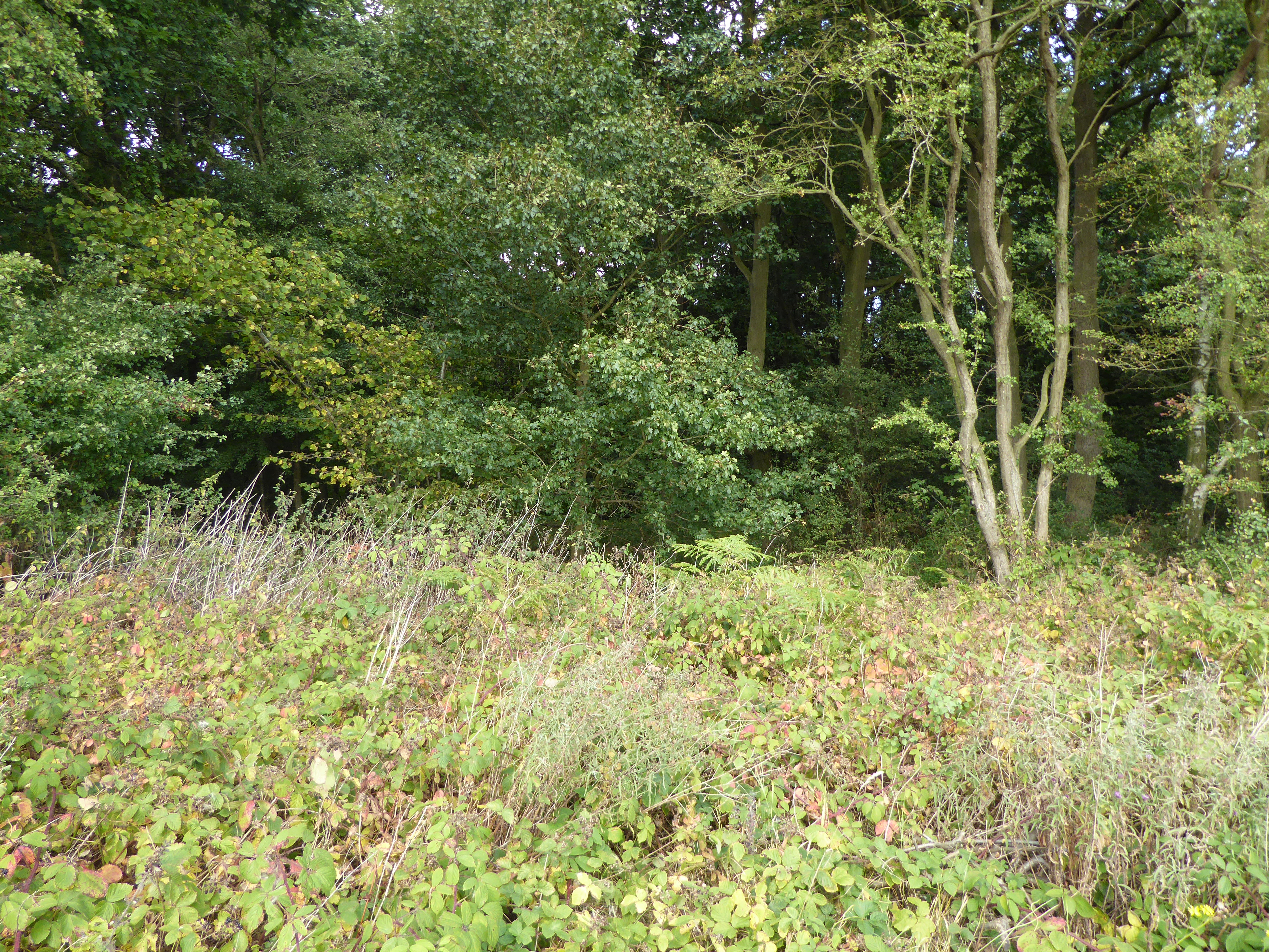
Castledike Wood is a picturesque woodland located in Lincolnshire, England. Spanning over an area of approximately 35 hectares, it is a haven for nature enthusiasts and adventurers alike. The wood is situated near the village of Stickney, offering visitors the opportunity to explore its diverse flora and fauna.

The woodland is primarily composed of broadleaf trees such as oak, ash, and birch, which provide a rich habitat for a variety of wildlife. The forest floor is covered with a lush carpet of bluebells during the springtime, creating a stunning display of colors. In addition to the vibrant bluebells, the wood boasts an array of other wildflowers, including primroses and wood anemones.

Numerous walking trails crisscross the woodland, allowing visitors to immerse themselves in its natural beauty. These trails wind through the trees, leading to hidden clearings and serene ponds. The wood is also home to a diverse range of bird species, making it an ideal location for birdwatching enthusiasts. Visitors may catch sight of woodpeckers, kingfishers, and various species of owls, among others.

Castledike Wood is managed by a local conservation trust, which ensures its preservation and protection. The trust organizes regular events and workshops to educate the public about the importance of woodland conservation. It also offers guided tours and educational programs for schools, promoting environmental awareness and appreciation for nature.

Overall, Castledike Wood is a tranquil and enchanting destination, providing a peaceful retreat for those seeking to connect with nature. Its breathtaking beauty and abundant wildlife make it a must-visit location for nature lovers in Lincolnshire.

If you have any feedback on the listing, please let us know in the comments section below.

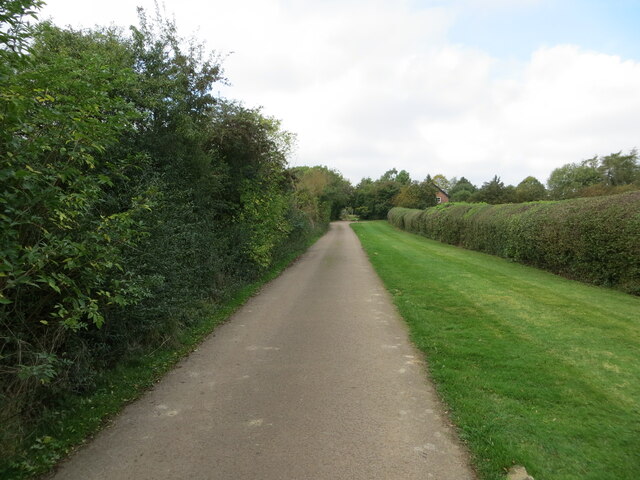
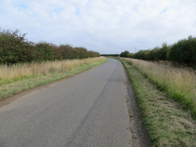
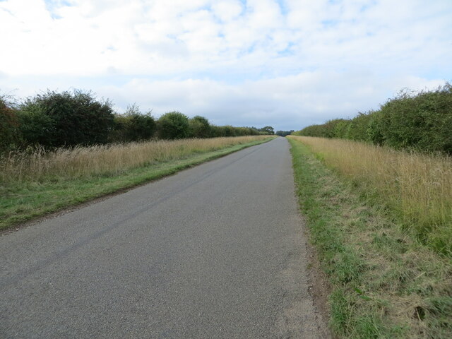
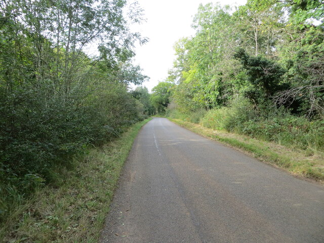
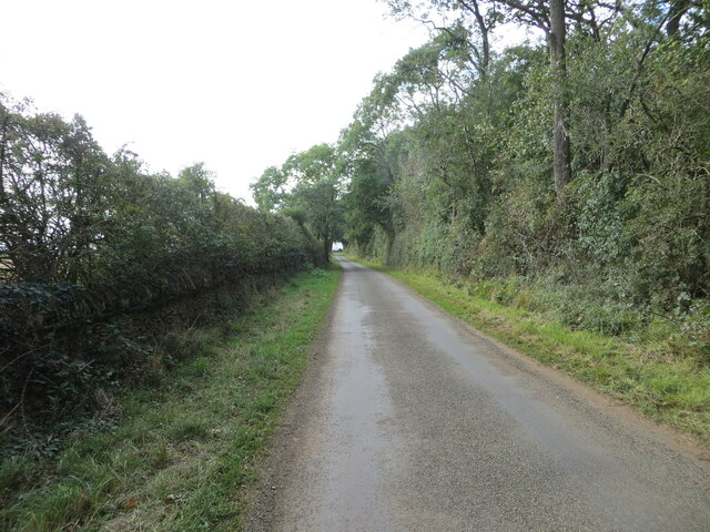
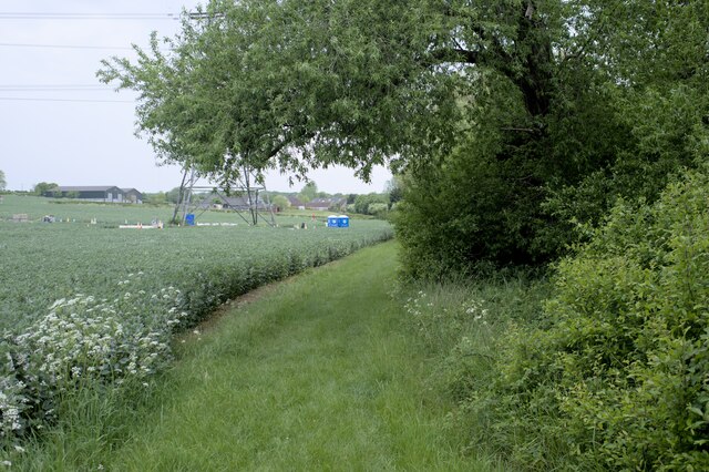
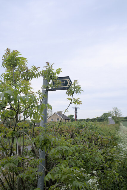
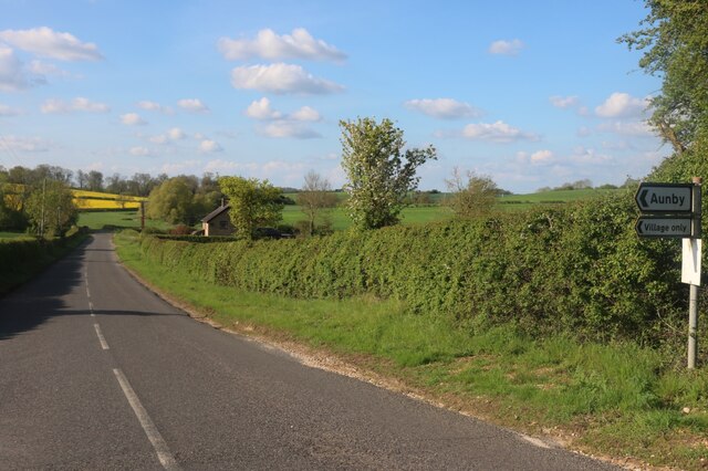
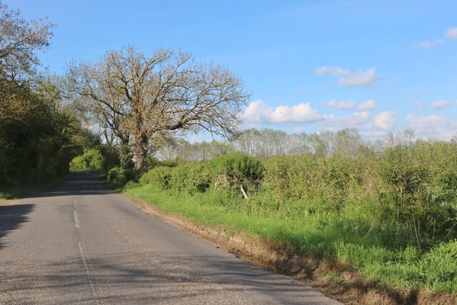
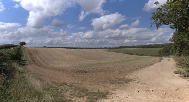
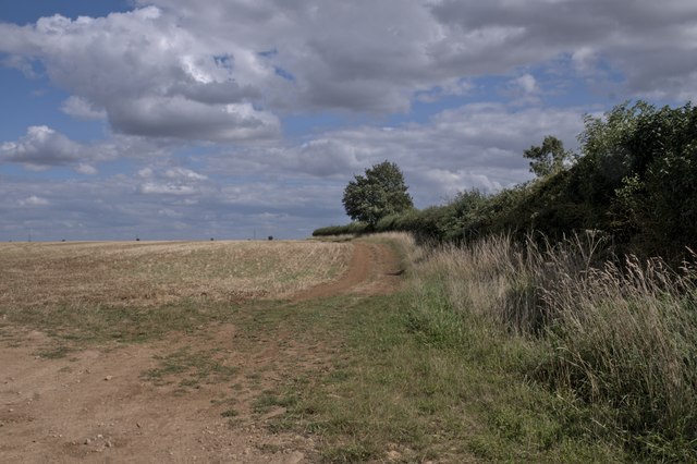
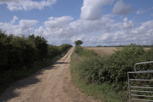
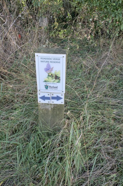
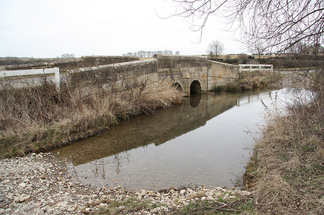
Castledike Wood Images

Images are sourced within 2km of 52.717255/-0.50845362 or Grid Reference TF0014. Thanks to Geograph Open Source API. All images are credited.

The Drift as a public road ends here but continues as a by-way Looking north-westward
The Drift as a public road ends here but continues as a by-way
Looking north-westward
Road heading towards Vale Farm Looking south-eastward.
Road heading towards Vale Farm
Looking south-eastward.
Road heading towards Little Warren and Castle Dyke Looking north-westward.
Road heading towards Little Warren and Castle Dyke
Looking north-westward.
Tree and hedge enclosed road at Little Warren Wood Looking north-westward.
Tree and hedge enclosed road at Little Warren Wood
Looking north-westward.
Hedge and tree enclosed minor road at Castle Dyke Looking south-westward.
Hedge and tree enclosed minor road at Castle Dyke
Looking south-westward.
Hedge enclosed minor road approaching The Grange Looking north-westward.
Hedge enclosed minor road approaching The Grange
Looking north-westward.
All Saints Church and part of its burial ground, Pickworth Viewed from the southwest.
All Saints Church and part of its burial ground, Pickworth
Viewed from the southwest.
Country road near Clipsham (2)
Ordnance Survey Cut Mark This mark can be found on the wall of All Saints Church, Pickworth.
The recorded details give a height of 71.4601 metres above sea level.
For more details see : <span class="nowrap"><a title="https://www.bench-marks.org.uk/bm37691" rel="nofollow ugc noopener" href="https://www.bench-marks.org.uk/bm37691">Link</a><img style="margin-left:2px;" alt="External link" title="External link - shift click to open in new window" src="https://s1.geograph.org.uk/img/external.png" width="10" height="10"/></span>
Ordnance Survey Cut Mark
This mark can be found on the wall of All Saints Church, Pickworth. The recorded details give a height of 71.4601 metres above sea level. For more details see : LinkExternal link
Restricted Byway Sections 47-50 of the 2000 Act introduce a new category of highway called 
the “restricted byway”. A restricted byway is defined as a highway over which 
the public have restricted byway rights, with or without the right to drive 
animals of any description.  This replaced the concept of a "road used as a public path".

This track is a restricted byway.  See <a href="https://www.geograph.org.uk/photo/7175487">TF0214 : Restricted Byway sign</a>.

A little further on is the camp for one of the wire-pulling bases used to re-string the 400kV line through Lincolnshire
Restricted Byway
Sections 47-50 of the 2000 Act introduce a new category of highway called the “restricted byway”. A restricted byway is defined as a highway over which the public have restricted byway rights, with or without the right to drive animals of any description. This replaced the concept of a "road used as a public path". This track is a restricted byway. See TF0214 : Restricted Byway sign. A little further on is the camp for one of the wire-pulling bases used to re-string the 400kV line through Lincolnshire
Criss-Cross Patterns against the sky of the wires and structure of a pylon, including (on the right) a pulling platform used for changing the wires.
Criss-Cross
Patterns against the sky of the wires and structure of a pylon, including (on the right) a pulling platform used for changing the wires.
Restricted Byway sign Sections 47-50 of the 2000 Act introduced a new category of highway called 
the “restricted byway”. A restricted byway is defined as a highway over which 
the public have restricted byway rights, with or without the right to drive 
animals of any description.  No motorised vehicles are permitted.
Restricted Byway sign
Sections 47-50 of the 2000 Act introduced a new category of highway called the “restricted byway”. A restricted byway is defined as a highway over which the public have restricted byway rights, with or without the right to drive animals of any description. No motorised vehicles are permitted.
Stamford Road, Aunby
Stamford Road south of Careby
Gently rolling hills Rutland is a fractal surface - it's a bit more than 2 dimensional.  The tiny folds and ridges of the fields round here can be surprising steep, if short to climb.

This image is stitched from 6 others, giving a panorama some 90 degrees wide.
Gently rolling hills
Rutland is a fractal surface - it's a bit more than 2 dimensional. The tiny folds and ridges of the fields round here can be surprising steep, if short to climb. This image is stitched from 6 others, giving a panorama some 90 degrees wide.
A field in Rutland
A field in Rutland
The Drift An unmade road in Rutland.  We are here looking toward Pickworth.
The Drift
An unmade road in Rutland. We are here looking toward Pickworth.
Nature reserve verge There is one of these signs on each side of the drift.  The verges are full of butterflies
Nature reserve verge
There is one of these signs on each side of the drift. The verges are full of butterflies
Show me another place!

Castledike Wood is located at Grid Ref: TF0014 (Lat: 52.717255, Lng: -0.50845362)

Administrative County: Lincolnshire

District: South Kesteven

Police Authority: Lincolnshire

What 3 Words

///laughs.modifies.blatantly. Near Pickworth, Rutland

Related Wikis

Newell Wood

Newell Wood is a 33.3-hectare (82-acre) biological Site of Special Scientific Interest east of Pickworth in Rutland, adjacent to Lincolnshire Gate. This...

Lincolnshire Gate

Lincolnshire Gate is the name given to a corner in the road between Holywell, Lincolnshire and Pickworth, Rutland to the south-west of Castle Bytham, in...

Aunby

Aunby is a village in the civil parish of Careby Aunby and Holywell, in the South Kesteven district of Lincolnshire, England. It is situated north from...

Ryhall Pasture and Little Warren Verges

Ryhall Pasture and Little Warren Verges is a 6.2-hectare (15-acre) biological Site of Special Scientific Interest north of the village of Ryhall. Little...

Nearby Amenities

Located within 500m of 52.717255,-0.50845362
New Field
Place: locality
Source: Bing
Lat/Long: 52.7203458/-0.510155
The data included in this document is from www.openstreetmap.org. The data is made available under ODbL.

Have you been to Castledike Wood?

Leave your review of Castledike Wood below (or comments, questions and feedback).