Bourne Copse
Wood, Forest in Surrey Runnymede
England
Bourne Copse
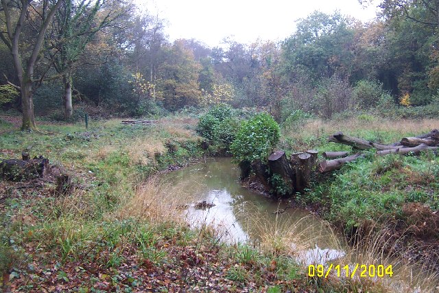
Bourne Copse is a wood located in the county of Surrey, England. Covering an area of approximately 70 hectares, it is a remarkable example of a semi-natural ancient woodland. The copse is situated near the village of Farnham, nestled within the Surrey Hills Area of Outstanding Natural Beauty.
The woodland is characterized by its diverse array of tree species, including oak, birch, beech, and hazel. These trees create a dense canopy that filters sunlight, resulting in a cool and shaded environment below. The forest floor is adorned with an enchanting carpet of bluebells during the spring months, attracting visitors from far and wide.
Bourne Copse is home to a rich variety of wildlife, making it a haven for nature enthusiasts. The wood provides a habitat for numerous bird species, such as woodpeckers, owls, and warblers. Squirrels, foxes, and deer can also be spotted roaming the woodland, adding to its natural charm.
Visitors to Bourne Copse can explore the network of footpaths that wind through the wood, offering a tranquil and peaceful setting for walking, jogging, or simply enjoying the sights and sounds of nature. The copse is well-maintained, with clear signage and seating areas provided for visitors' convenience.
Bourne Copse is a cherished natural asset in Surrey, providing a vital green space for both wildlife and the local community. Its ancient woodland status and diverse ecosystem make it a valuable and irreplaceable part of the county's natural heritage.
If you have any feedback on the listing, please let us know in the comments section below.
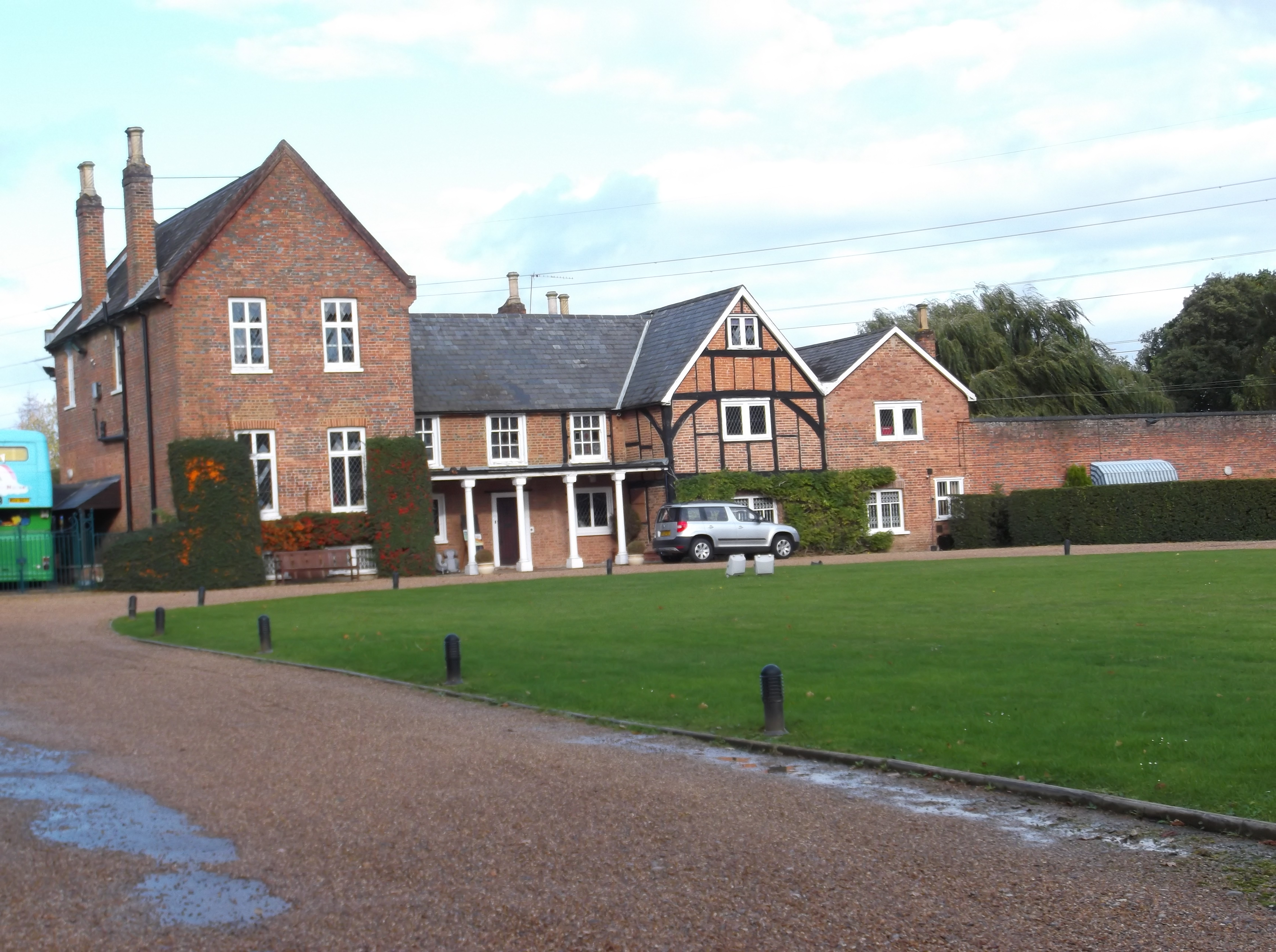
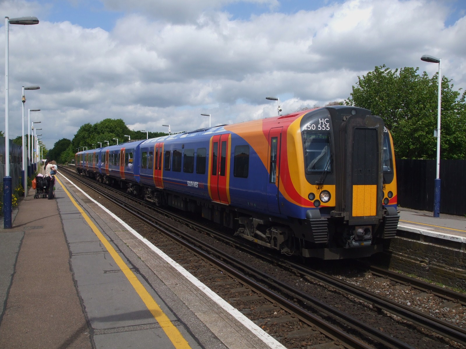
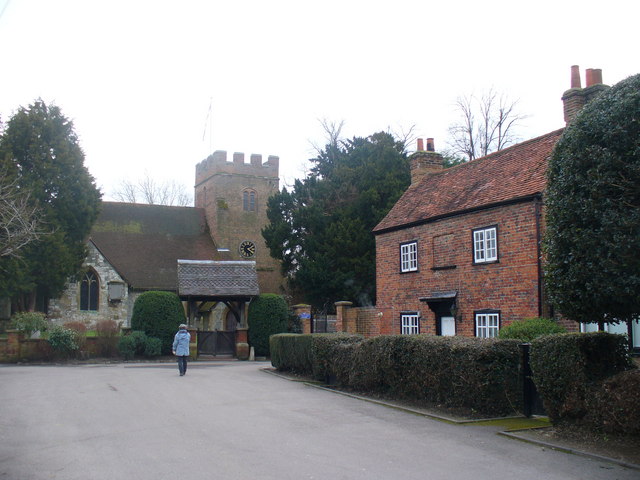
Bourne Copse Images
Images are sourced within 2km of 51.39647/-0.55207748 or Grid Reference TQ0067. Thanks to Geograph Open Source API. All images are credited.


Bourne Copse is located at Grid Ref: TQ0067 (Lat: 51.39647, Lng: -0.55207748)
Administrative County: Surrey
District: Runnymede
Police Authority: Surrey
What 3 Words
///scores.fallen.treat. Near Virginia Water, Surrey
Nearby Locations
Related Wikis

Borough of Runnymede
The Borough of Runnymede is a local government district with borough status in the English county of Surrey. It is a very prosperous part of the London...
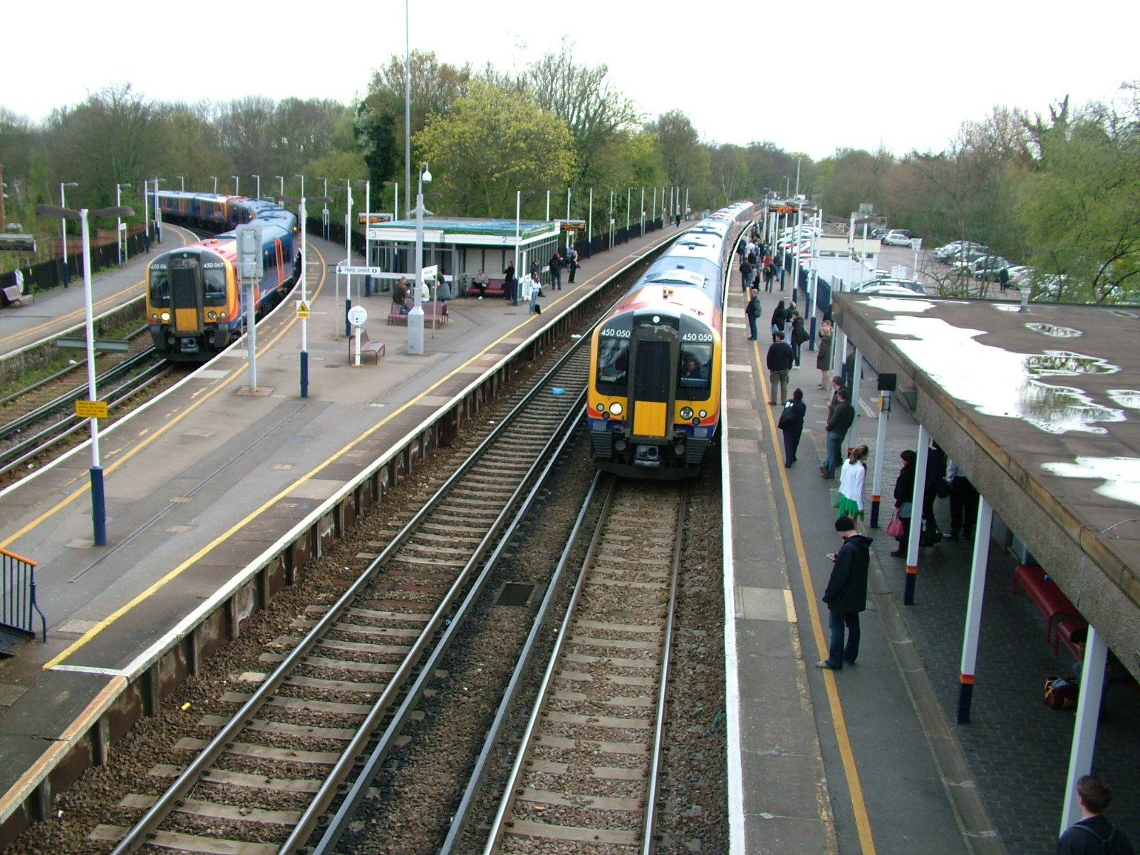
Virginia Water railway station
Virginia Water railway station serves the village of Virginia Water, in Surrey, England. It is 23 miles 15 chains (37.3 km) down the line from London Waterloo...

Thorpe Interchange
The Thorpe Interchange is a large motorway free-flow intersection in Surrey, United Kingdom, connecting the M3 with the M25. == History == === M3 === The...

Holloway Sanatorium
Holloway Sanatorium was an institution for the treatment of those suffering temporary mental illness, situated on 22 acres (9 ha) of aesthetically landscaped...
Lyne, Surrey
Lyne is a village in the Borough of Runnymede in Surrey, England, approximately 32 km (20 mi) southwest of central London. In the early 13th century, the...
Chertsey branch line
The Chertsey branch line connects Virginia Water station on the Waterloo to Reading main line to Weybridge station on the Waterloo to Woking main line...

Riverside Walk, Virginia Water
Riverside Walk is a 21.2-hectare (52-acre) local nature reserve in Virginia Water, Surrey. It is owned by Runnymede Borough Council and managed by The...
Thorpe, Surrey
Thorpe is a village in northwest Surrey, England, around 20 miles (32 km) west of central London. It is in the Borough of Runnymede, between Egham, Virginia...
Nearby Amenities
Located within 500m of 51.39647,-0.55207748Have you been to Bourne Copse?
Leave your review of Bourne Copse below (or comments, questions and feedback).