Alma Plantation
Wood, Forest in Yorkshire
England
Alma Plantation
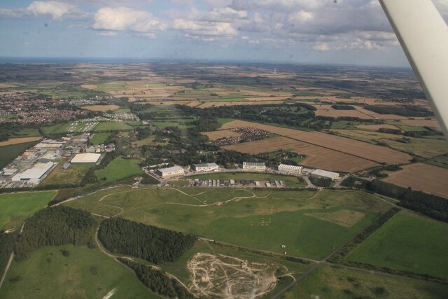
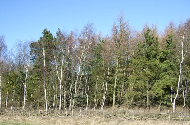
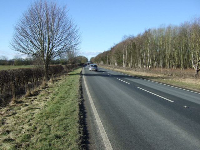
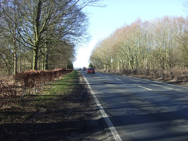
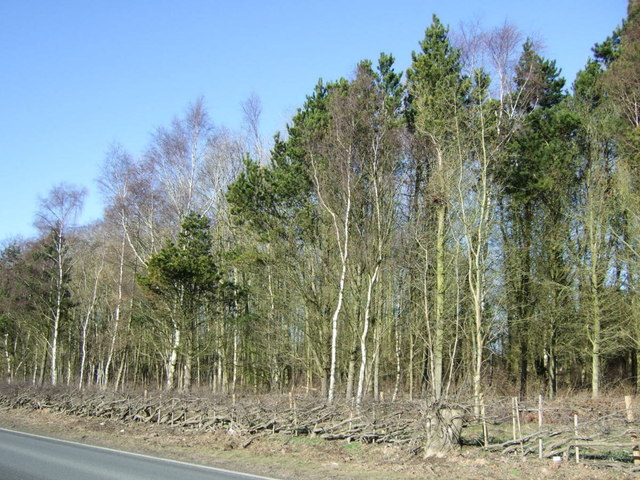
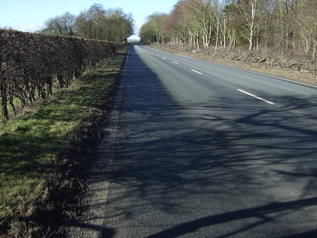
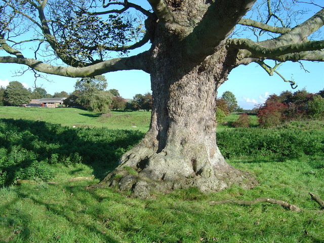
Alma Plantation, Yorkshire (Wood, Forest) is a stunning natural reserve located in the heart of Yorkshire, England. Spanning over a vast area of land, it is renowned for its lush greenery, diverse wildlife, and tranquil atmosphere.
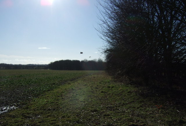
Covering an area of approximately 500 acres, Alma Plantation is home to a variety of trees, including oak, ash, beech, and birch, which create a breathtaking canopy overhead. The forest floor is adorned with an array of wildflowers, ferns, and moss, adding to the enchanting ambiance of the woodland.
The plantation boasts a rich history, dating back several centuries. Originally established as a hunting ground for nobility, it later became a timber resource for the local community. Today, it serves as a protected area, ensuring the preservation of its natural wonders.
The plantation is a haven for wildlife enthusiasts, as it provides a habitat for numerous species. Visitors may catch a glimpse of deer, rabbits, squirrels, and a wide range of birdlife, including woodpeckers, owls, and songbirds. The forest also houses several nature trails, which allow visitors to explore the area and spot wildlife in their natural habitat.
Alma Plantation offers a peaceful retreat for those seeking solace amidst nature. Its serene atmosphere is ideal for nature walks, picnics, photography, and simply immersing oneself in the beauty of the woodland. With its picturesque landscape and abundance of wildlife, Alma Plantation truly stands as a testament to the natural wonders of Yorkshire.
If you have any feedback on the listing, please let us know in the comments section below.
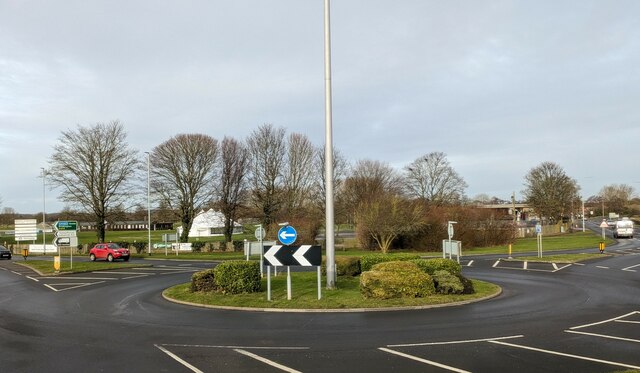
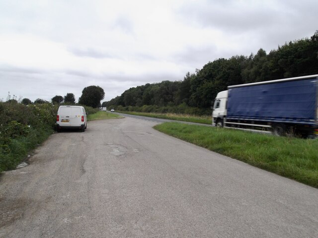
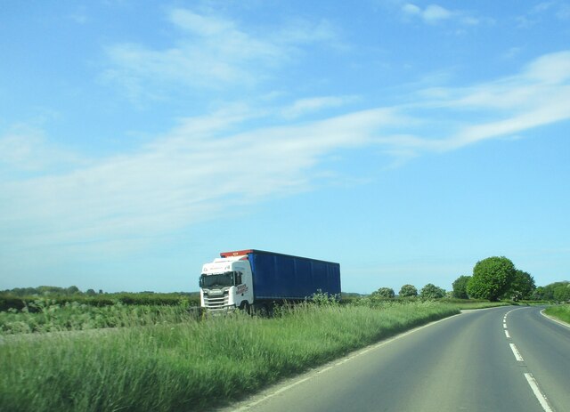
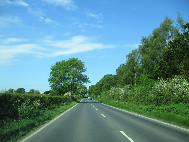
Alma Plantation Images
Images are sourced within 2km of 53.981965/-0.46515188 or Grid Reference TA0055. Thanks to Geograph Open Source API. All images are credited.


Alma Plantation is located at Grid Ref: TA0055 (Lat: 53.981965, Lng: -0.46515188)
Division: East Riding
Unitary Authority: East Riding of Yorkshire
Police Authority: Humberside
What 3 Words
///petrified.other.flame. Near Driffield, East Yorkshire
Nearby Locations
Related Wikis

Sunderlandwick
Sunderlandwick is a hamlet in the East Riding of Yorkshire, England. It is situated approximately 1.5 miles (2.4 km) south of Driffield and lies to the...
Kelleythorpe
Kelleythorpe is a hamlet in the East Riding of Yorkshire, England, it forms part of the civil parish of Kirkburn. It is situated in the Yorkshire Wolds...
Eastburn, East Riding of Yorkshire
Eastburn is a hamlet and former civil parish, now in the parish of Kirkburn, in the East Riding of Yorkshire, England. It is situated in the Yorkshire...
Southburn railway station
Southburn railway station was a railway station on the Selby to Driffield Line. It opened on 1 May 1890 and served the villages of Southburn and Kirkburn...
Nearby Amenities
Located within 500m of 53.981965,-0.46515188Have you been to Alma Plantation?
Leave your review of Alma Plantation below (or comments, questions and feedback).