Fir Trees
Wood, Forest in Yorkshire
England
Fir Trees
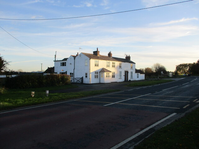
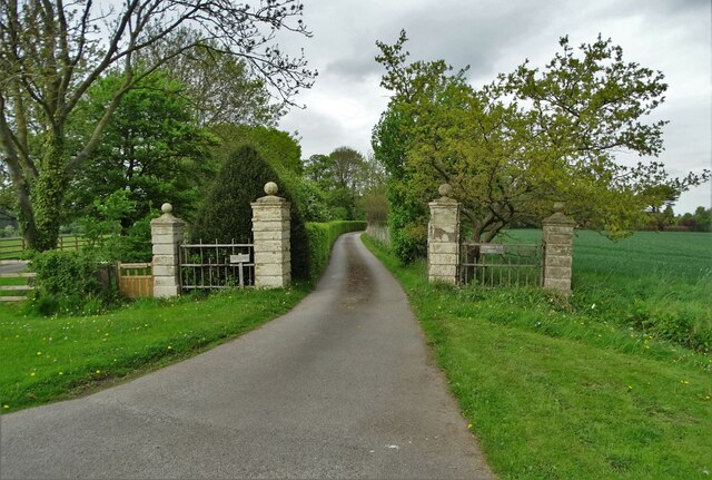
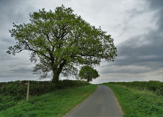
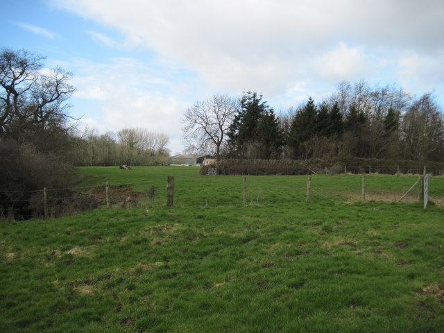
Fir Trees, Yorkshire is a picturesque woodland located in the heart of the county in northern England. Covering an area of approximately 50 acres, it is a popular destination for nature enthusiasts and outdoor lovers alike.
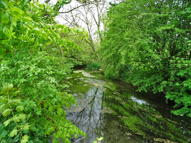
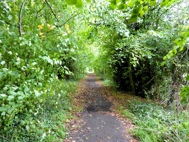
The woodland, as the name suggests, is predominantly populated by fir trees, which create a dense and lush canopy. These evergreen trees provide shelter and habitat for a diverse range of wildlife, including various species of birds, small mammals, and insects. The forest floor is covered with a carpet of ferns, mosses, and wildflowers, adding to the enchanting atmosphere of the area.
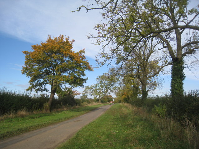
Visitors to Fir Trees can enjoy a variety of outdoor activities. The well-maintained footpaths and trails winding through the forest are perfect for leisurely walks and hikes, offering breathtaking views of the surrounding countryside. The peacefulness and tranquility of the woodland make it an ideal spot for picnics, allowing visitors to relax and soak up the natural beauty.
In addition to its recreational value, Fir Trees also plays a vital role in the local ecosystem. The trees contribute to air purification by absorbing carbon dioxide and releasing oxygen, helping to combat climate change. The woodland also acts as a natural water filter, preventing soil erosion and improving water quality in the nearby streams and rivers.
Overall, Fir Trees, Yorkshire is a captivating woodland that offers both a peaceful retreat from the hustle and bustle of everyday life and an opportunity to connect with nature. Its lush foliage, diverse wildlife, and scenic trails make it a must-visit destination for anyone seeking a true outdoor experience in the heart of Yorkshire.
If you have any feedback on the listing, please let us know in the comments section below.
Fir Trees Images
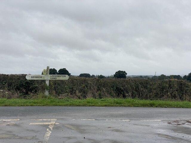
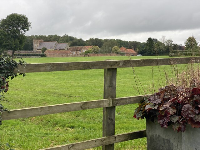
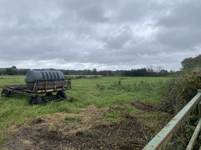
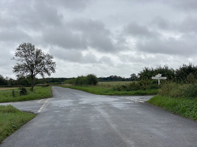
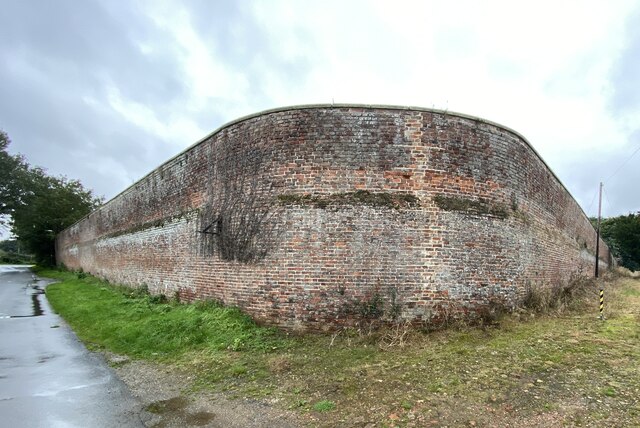
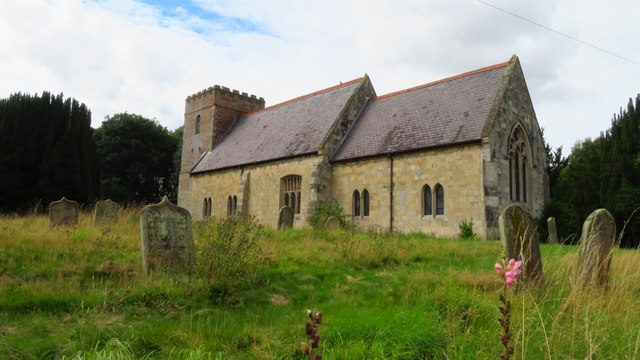
Images are sourced within 2km of 53.93452/-0.46990971 or Grid Reference TA0049. Thanks to Geograph Open Source API. All images are credited.


Fir Trees is located at Grid Ref: TA0049 (Lat: 53.93452, Lng: -0.46990971)
Division: East Riding
Unitary Authority: East Riding of Yorkshire
Police Authority: Humberside
What 3 Words
///homecare.vocally.coherent. Near Watton, East Yorkshire
Nearby Locations
Related Wikis

North Humberside
North Humberside is a former postal county of England. It was introduced by the Royal Mail on 1 July 1974, when some addresses were altered in response...

Kilnwick
Kilnwick (or Kilnwick-on-the-Wolds) is a village and former civil parish, now in the parish of Beswick, in the East Riding of Yorkshire, England. It is...

Watton, East Riding of Yorkshire
Watton is a village and civil parish in the East Riding of Yorkshire, England. The village is situated on the A164 road, about 6 miles (9.7 km) north...
RAF Hutton Cranswick
Royal Air Force Hutton Cranswick or more simply RAF Hutton Cranswick is a former Royal Air Force station located to the south of Driffield and immediately...
Nearby Amenities
Located within 500m of 53.93452,-0.46990971Have you been to Fir Trees?
Leave your review of Fir Trees below (or comments, questions and feedback).