Far Old Park Wood
Wood, Forest in Lincolnshire South Kesteven
England
Far Old Park Wood
Far Old Park Wood is a picturesque woodland located in the county of Lincolnshire, England. Covering an area of approximately 100 acres, it is a designated forest and a popular destination for nature enthusiasts and hikers alike. The woodland is situated in close proximity to the village of Far Old Park, which lends its name to the area.
The wood is predominantly composed of broadleaf trees, including oak, beech, and birch, which provide a diverse and vibrant habitat for a wide range of flora and fauna. The dense canopy of the trees creates a cool and serene atmosphere, making it an ideal place for people to escape the hustle and bustle of urban life.
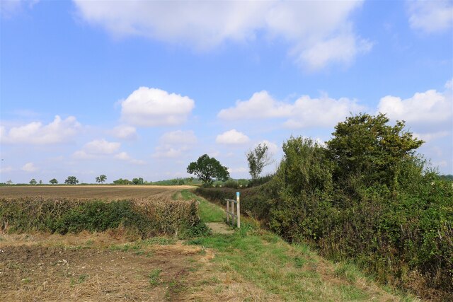
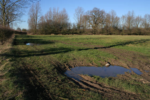
Far Old Park Wood is crisscrossed by a network of well-maintained footpaths, allowing visitors to explore the area and admire its natural beauty. These paths lead to various points of interest, such as a small stream that meanders through the wood, creating a tranquil ambiance with its gentle murmuring.
The woodland is also home to a rich array of wildlife, including deer, foxes, and a variety of bird species. Birdwatchers can often spot owls, woodpeckers, and thrushes amongst the treetops. The wood provides an important habitat for many rare and endangered species, making it a site of ecological significance.
Overall, Far Old Park Wood offers a serene and picturesque experience for nature lovers, providing a haven of tranquility and natural beauty in the heart of Lincolnshire.
If you have any feedback on the listing, please let us know in the comments section below.
Far Old Park Wood Images
Images are sourced within 2km of 52.835033/-0.50951398 or Grid Reference TF0027. Thanks to Geograph Open Source API. All images are credited.


Far Old Park Wood is located at Grid Ref: TF0027 (Lat: 52.835033, Lng: -0.50951398)
Administrative County: Lincolnshire
District: South Kesteven
Police Authority: Lincolnshire
What 3 Words
///custard.contrived.hammocks. Near Corby Glen, Lincolnshire
Nearby Locations
Related Wikis
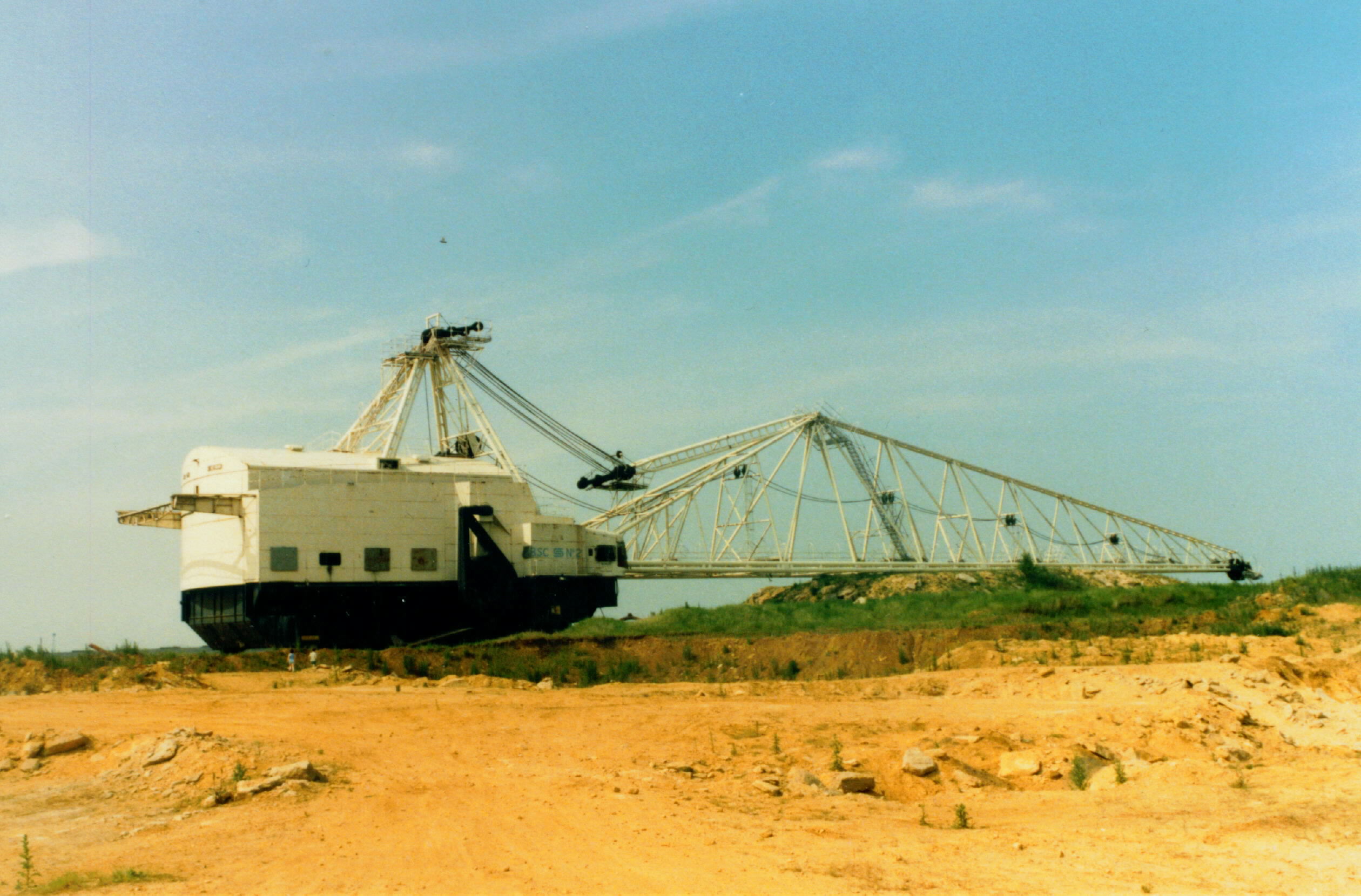
Northampton Sand Formation
The Northampton Sand Formation, sometimes called the Northamptonshire Sand, is a Middle Jurassic geological formation which is placed within the Inferior...

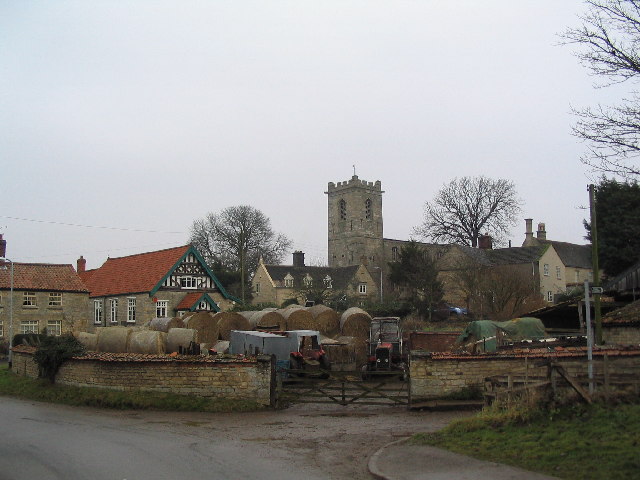
Irnham
Irnham is a village and civil parish in South Kesteven, Lincolnshire, England. It is situated approximately 10 miles (16 km) south-east from Grantham...
Bitchfield
Bitchfield is a small village in the South Kesteven district of Lincolnshire, England. It consists of two groups of buildings connected by Dark Lane, known...

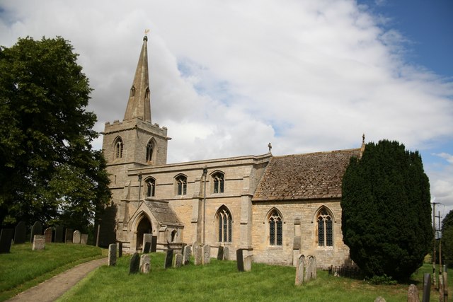
St John the Evangelist's Church, Corby Glen
The Church of St John the Evangelist is a Grade I listed Church of England parish church dedicated to John the Evangelist, in Corby Glen, Lincolnshire...
Corby Glen
Corby Glen is a village and civil parish in the South Kesteven district of Lincolnshire, England. It is approximately 9 miles (14 km) south-east of the...

Ingoldsby
Ingoldsby is a small village in the South Kesteven district of Lincolnshire, England. It is situated 7 miles (11 km) south-east from the market town of...

Charles Read Academy
Charles Read Academy is a co-educational secondary school located in Corby Glen, Lincolnshire, England. It serves the villages between Stamford, Bourne...

Burton Coggles
Burton Coggles (full name Burton-le-Coggles from Byrton-en-les-Coggles) is a small village and civil parish in the South Kesteven district of Lincolnshire...
Have you been to Far Old Park Wood?
Leave your review of Far Old Park Wood below (or comments, questions and feedback).