Ash Holt
Wood, Forest in Lincolnshire North Kesteven
England
Ash Holt
Ash Holt is a picturesque village located in the county of Lincolnshire, England. Situated in the stunning Wood, Forest region, the village is renowned for its natural beauty and tranquil surroundings. With a population of approximately 500 residents, Ash Holt offers a close-knit community feel.
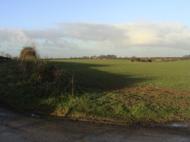
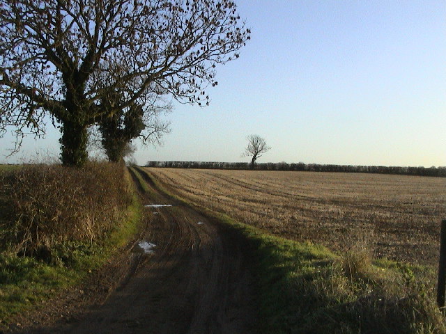
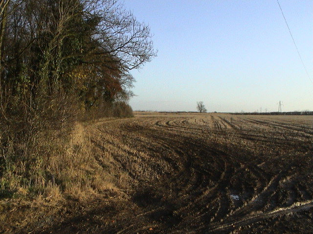
The village is surrounded by lush woodlands and sprawling forests, making it an idyllic destination for nature enthusiasts. The area is home to an array of wildlife, including deer, foxes, and a diverse range of bird species, providing ample opportunities for wildlife spotting and birdwatching.
Ash Holt boasts a rich history that dates back centuries. The village features several historical landmarks, such as St. Mary's Church, a charming medieval church that showcases exquisite architectural details. The church is a popular destination for history buffs and those seeking a moment of peace and reflection.
In terms of amenities, Ash Holt offers a range of facilities to cater to its residents' needs. The village has a local school, providing education for children up to the age of 11. Additionally, there is a village hall that serves as a hub for community events and gatherings.
The village is well-connected to nearby towns and cities, with good transport links ensuring easy access to essential services and amenities. Ash Holt provides an ideal balance of rural living and accessibility to urban areas, making it an attractive place to call home for those seeking a peaceful retreat within reach of modern conveniences.
If you have any feedback on the listing, please let us know in the comments section below.
Ash Holt Images
Images are sourced within 2km of 53.18212/-0.49819705 or Grid Reference TF0066. Thanks to Geograph Open Source API. All images are credited.


Ash Holt is located at Grid Ref: TF0066 (Lat: 53.18212, Lng: -0.49819705)
Administrative County: Lincolnshire
District: North Kesteven
Police Authority: Lincolnshire
What 3 Words
///countries.fracture.overhear. Near Branston, Lincolnshire
Nearby Locations
Related Wikis
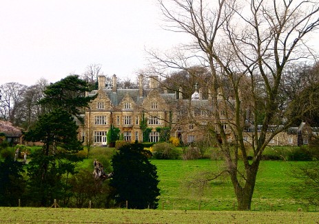
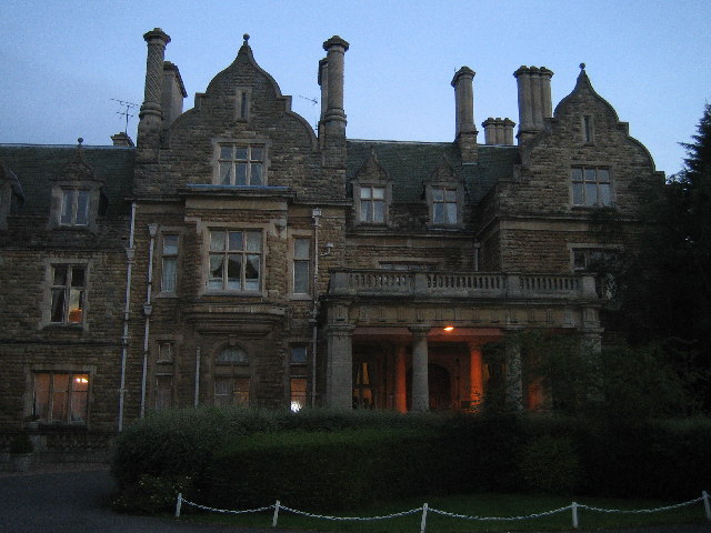
Branston Hall
Branston Hall is a country house in the village of Branston, Lincolnshire, England. The hall, a Grade II listed building, is set in 88 acres (3.56 square...

Branston Rural District
Branston was a rural district in Kesteven in Lincolnshire, England from 1894 to 1931. It was formed under the Local Government Act 1894 from the part...

Branston, Lincolnshire
Branston is a large village in the civil parish of Branston and Mere, in the North Kesteven district of Lincolnshire, England, 4 miles (6 km) south-east...

RAF Waddington
Royal Air Force Waddington otherwise known as RAF Waddington (IATA: WTN, ICAO: EGXW) is a Royal Air Force station located beside the village of Waddington...

Branston and Mere
Branston and Mere is a civil parish in the North Kesteven district of Lincolnshire, England, about 4 miles (6 km) roughly south-east of Lincoln. The parish...

Bracebridge Heath
Bracebridge Heath is a village and civil parish in the North Kesteven district of Lincolnshire, England. It is 2 miles (3 km) south of Lincoln and straddles...

Branston Community Academy
Branston Community Academy, (formerly Branston School and Community College) is a secondary school for 11- to 18-year-old students on Station Road in Branston...
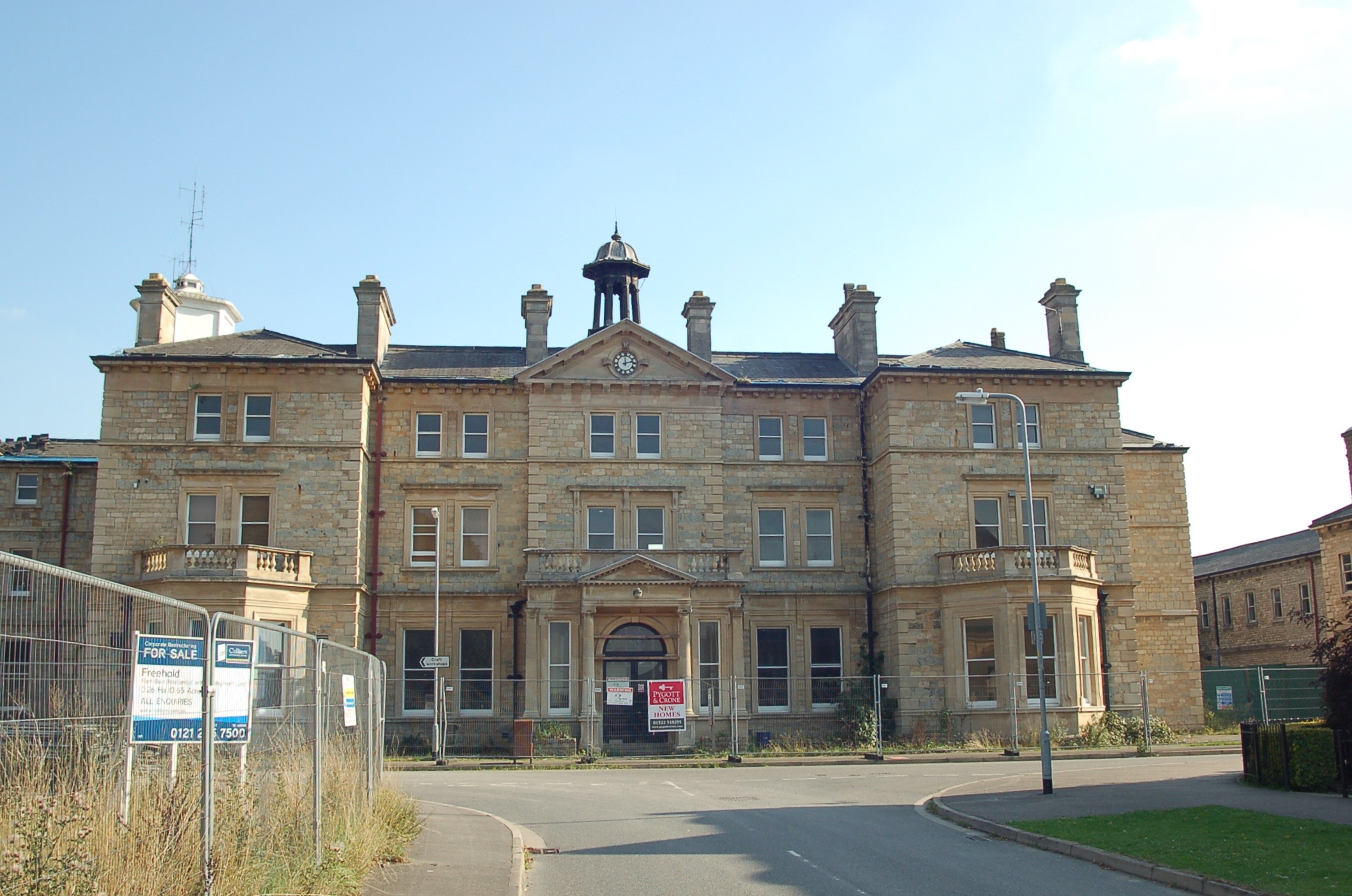
St John's Hospital, Bracebridge Heath
St John's Hospital, Bracebridge Heath was a mental health facility at Bracebridge Heath in Lincolnshire. == History == The hospital was designed by John...
Nearby Amenities
Located within 500m of 53.18212,-0.49819705Have you been to Ash Holt?
Leave your review of Ash Holt below (or comments, questions and feedback).