Glebe Plantation

Wood, Forest in Lincolnshire North Kesteven

England

Glebe Plantation

Ermine Street (aka High Dike) north of Ancaster The start of a remarkably straight 11 miles of road and green lane to the outskirts of Lincoln
Ermine Street (aka High Dike) north of Ancaster Credit: Tim Heaton

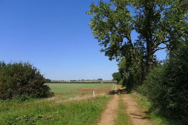
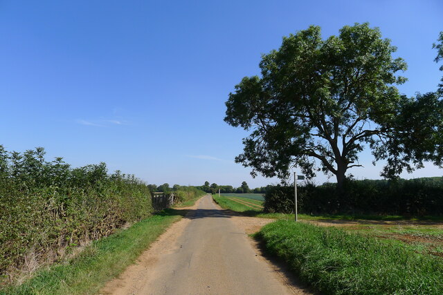
Glebe Plantation, located in Lincolnshire, is a picturesque woodland area known for its rich history and natural beauty. Spanning approximately 200 acres, the plantation is a haven for outdoor enthusiasts and nature lovers alike.

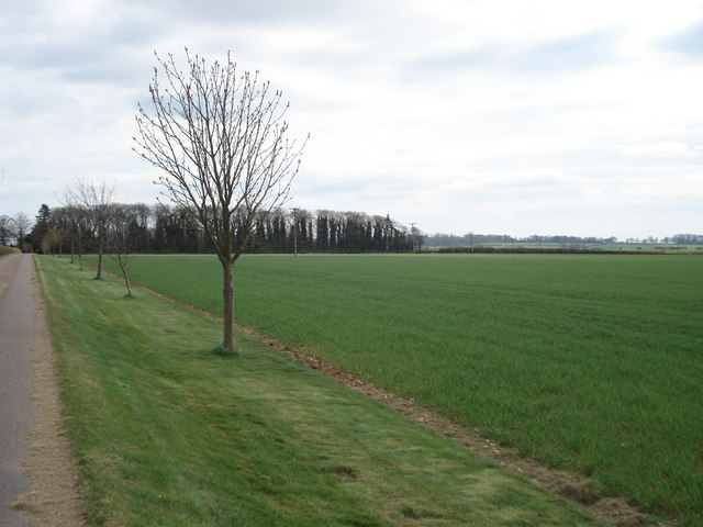
The woodland is predominantly made up of deciduous trees, including oak, ash, and beech, creating a diverse and vibrant ecosystem. These trees provide a habitat for a wide range of wildlife, from birds such as woodpeckers and owls to mammals such as deer and foxes.

Glebe Plantation has a long and fascinating history. It was originally part of the medieval forest of Kesteven and has been managed and maintained by various landowners over the centuries. The woodlands have remained relatively untouched, enabling visitors to experience a truly authentic natural environment.

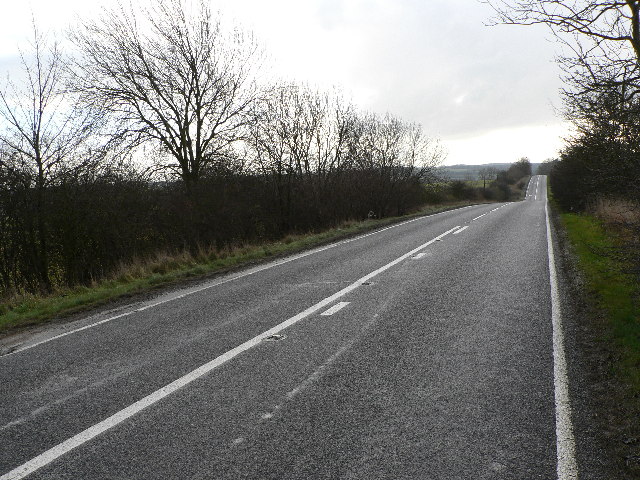
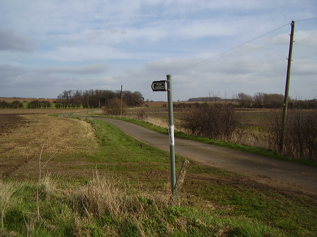
The plantation offers a variety of walking trails and footpaths, allowing visitors to explore the area at their own pace. The tranquil atmosphere and stunning scenery make it a popular destination for hikers, joggers, and dog walkers. There are also designated picnic areas where visitors can relax and enjoy the surroundings.

In addition to its natural beauty, Glebe Plantation is home to several archaeological sites of interest. These include the remains of an Iron Age settlement and a Roman road, providing a glimpse into the area's ancient past.

Overall, Glebe Plantation is a captivating destination that combines history, nature, and serenity. Its lush woodlands and diverse wildlife make it a must-visit location for anyone seeking an escape into the beauty of Lincolnshire's countryside.

If you have any feedback on the listing, please let us know in the comments section below.

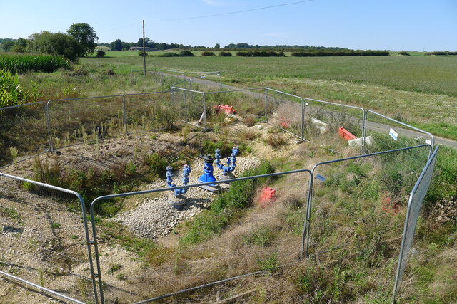
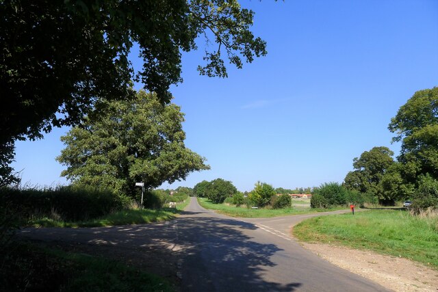
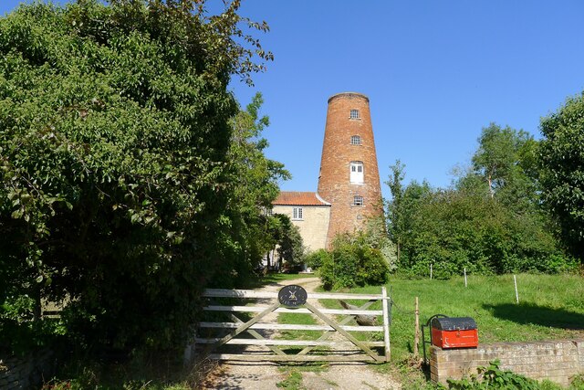
Glebe Plantation Images

Images are sourced within 2km of 53.000867/-0.50468816 or Grid Reference TF0045. Thanks to Geograph Open Source API. All images are credited.

Ermine Street (aka High Dike) north of Ancaster The start of a remarkably straight 11 miles of road and green lane to the outskirts of Lincoln
Ermine Street (aka High Dike) north of Ancaster
The start of a remarkably straight 11 miles of road and green lane to the outskirts of Lincoln
Water pipeline equipment, Waterwell Lane Some sort of gate valve? set on Anglian Water's new Lincoln to Ancaster Pipeline; part of their strategy to manage water distribution over a very dry part of the country <span class="nowrap"><a title="https://planning.southkesteven.gov.uk/SKDC/S20-1907/1879442.pdf" rel="nofollow ugc noopener" href="https://planning.southkesteven.gov.uk/SKDC/S20-1907/1879442.pdf">Link</a><img style="margin-left:2px;" alt="External link" title="External link - shift click to open in new window" src="https://s1.geograph.org.uk/img/external.png" width="10" height="10"/></span>
Water pipeline equipment, Waterwell Lane
Some sort of gate valve? set on Anglian Water's new Lincoln to Ancaster Pipeline; part of their strategy to manage water distribution over a very dry part of the country LinkExternal link
Thorpe Drove leading to South Rauceby Waterwell lane to the left, and Cliffe View to the right.
Thorpe Drove leading to South Rauceby
Waterwell lane to the left, and Cliffe View to the right.
70 Main Street, South Rauceby Listed Grade II, a former early 19th century tower mill <span class="nowrap"><a title="https://historicengland.org.uk/listing/the-list/list-entry/1061775?section=official-list-entry" rel="nofollow ugc noopener" href="https://historicengland.org.uk/listing/the-list/list-entry/1061775?section=official-list-entry">Link</a><img style="margin-left:2px;" alt="External link" title="External link - shift click to open in new window" src="https://s1.geograph.org.uk/img/external.png" width="10" height="10"/></span>
70 Main Street, South Rauceby
Listed Grade II, a former early 19th century tower mill LinkExternal link
Track running towards Waterwell Lane
Waterwell Lane heading east towards South Rauceby The footpath runs south-west to Wilford
Waterwell Lane heading east towards South Rauceby
The footpath runs south-west to Wilford
Field of carrots south of Waterwell Lane Carrots prefer a sandy, stone-free soil, provided here by Quaternary sand deposits in the Ancaster Gap.
Field of carrots south of Waterwell Lane
Carrots prefer a sandy, stone-free soil, provided here by Quaternary sand deposits in the Ancaster Gap.
Waterwell Lane Remnants of a Lincolnshire Limestone dry stone wall bound long sections of the north side of the lane.
Waterwell Lane
Remnants of a Lincolnshire Limestone dry stone wall bound long sections of the north side of the lane.
Ermine Street Roman Road Looking N from the Church Lane junction
Ermine Street Roman Road
Looking N from the Church Lane junction
Ermine Street Roman Road Looking S from the Church Lane junction
Ermine Street Roman Road
Looking S from the Church Lane junction
Church Lane Looking E towards Century Plantation
Church Lane
Looking E towards Century Plantation
Church Lane, Rauceby Looking S
Church Lane, Rauceby
Looking S
Ermine Street Roman Road Looking N at the entrance to Crowland Farm
Ermine Street Roman Road
Looking N at the entrance to Crowland Farm
Ermine Street Roman Road Looking S near the entrance to Crowland Farm
Ermine Street Roman Road
Looking S near the entrance to Crowland Farm
Rauceby Looking NE from the entrance to Crowland Farm
Rauceby
Looking NE from the entrance to Crowland Farm
Ploughed field near Ancaster
Quiet lane Along this road dog walkers panic when a car approaches
Quiet lane
Along this road dog walkers panic when a car approaches
Ermine Street Farm
Ermine Street Farm
Show me another place!

Glebe Plantation is located at Grid Ref: TF0045 (Lat: 53.000867, Lng: -0.50468816)

Administrative County: Lincolnshire

District: North Kesteven

Police Authority: Lincolnshire

What 3 Words

///cloak.mealtime.appealing. Near Ancaster, Lincolnshire

Nearby Locations

Glebe Plantation

Related Wikis

North Rauceby

North Rauceby is a village and civil parish in the North Kesteven district of Lincolnshire, England. It is situated 4 miles (6 km) north-west from Sleaford...

South Rauceby

South Rauceby is a village and civil parish in the North Kesteven district of Lincolnshire, England. It is situated 2.5 miles (4.0 km) west from Sleaford...

Wilsford, Lincolnshire

Wilsford is a village and civil parish in the North Kesteven district of Lincolnshire, England. The population of the civil parish was 400 at the 2011...

South Rauceby Hall

South Rauceby Hall, South Rauceby, Lincolnshire, England is a country house dating from the mid-19th century. It was designed by William Burn in 1842 for...

Ancaster railway station

Ancaster railway station serves the village of Ancaster in Lincolnshire, England. The station is 11.5 miles (19 km) north of Grantham on the Nottingham...

Ancaster (Roman town)

Ancaster was a small town in the Roman province of Britannia. It is sited on the Roman road known as the Ermine Street and is situated in the county of...

St Martin's Church, Ancaster

St Martin's Church is a Grade I listed Anglican church, dedicated to Martin of Tours, in Ancaster, Lincolnshire, England. The church is 6 miles (10 km...

No. 16 Squadron RAF

Number 16 Squadron Royal Air Force, nicknamed 'the Saints', is a flying squadron of the Royal Air Force (RAF) who currently provide elementary flying training...

Nearby Amenities

Located within 500m of 53.000867,-0.50468816
BBBBBB
Created By: xybot
Source: GPS waypoint
Upload Tag: ojw_charlton
Lat/Long: 52.999997/-0.5
The data included in this document is from www.openstreetmap.org. The data is made available under ODbL.

Have you been to Glebe Plantation?

Leave your review of Glebe Plantation below (or comments, questions and feedback).