Greenditch Plantation
Wood, Forest in Bedfordshire
England
Greenditch Plantation

Greenditch Plantation is a picturesque woodland located in Bedfordshire, England. Situated in the heart of the county, this enchanting forest covers an area of approximately 200 acres, making it a haven for nature lovers and outdoor enthusiasts alike.
The plantation is predominantly comprised of a variety of deciduous and coniferous trees, creating a diverse and vibrant ecosystem. The towering oak, beech, and chestnut trees provide a captivating canopy, while the spruce and pine trees add a touch of evergreen charm throughout the year. The forest floor is carpeted with a rich tapestry of wildflowers, ferns, and mosses, offering a delightful display of colors and textures.
As one explores the woodland, they will come across an extensive network of well-maintained walking trails, allowing visitors to fully immerse themselves in the natural beauty of the area. The pathways wind through the forest, revealing hidden glades, babbling brooks, and tranquil ponds along the way. These serene spots provide the perfect opportunity for contemplation or a peaceful picnic amidst the serenity of nature.
Greenditch Plantation is also home to a diverse array of wildlife, making it a popular destination for birdwatching and animal spotting. Visitors may catch a glimpse of native species such as deer, foxes, badgers, and a wide variety of bird species, including woodpeckers, owls, and finches.
Overall, Greenditch Plantation in Bedfordshire offers a serene and immersive experience in nature, with its breathtaking woodlands, meandering trails, and abundant wildlife. Whether one seeks solitude, exercise, or an opportunity to connect with the natural world, this enchanting forest provides a haven for all.
If you have any feedback on the listing, please let us know in the comments section below.
Greenditch Plantation Images
Images are sourced within 2km of 52.234885/-0.53078225 or Grid Reference TL0060. Thanks to Geograph Open Source API. All images are credited.
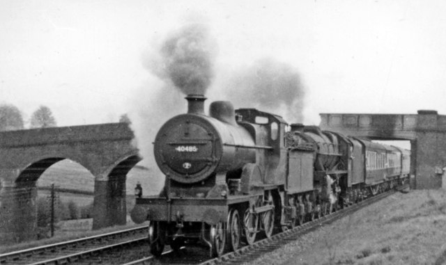
![Down fast freight approaching Souldrop Summit, Sharnbrook View SE, towards Bedford and London: Midland Main Line from St Pancras. Headed by BR 9F 2-10-0 No. 92164 (built 4/58, withdrawn 7/66), a Down Class C freight is running on the easier Slow lines which penetrated the ridge between the Ouse and Nene valleys in a tunnel, while the Fast lines went over the summit - cf. <a href="https://www.geograph.org.uk/photo/2745878">SP9860 : St Pancras - Manchester express approaching Souldrop Summit</a>. [I was travelling on a Down train on the latter, hence the less than perfect photograph].](https://s0.geograph.org.uk/geophotos/02/75/45/2754516_07d1ffad.jpg)


Greenditch Plantation is located at Grid Ref: TL0060 (Lat: 52.234885, Lng: -0.53078225)
Unitary Authority: Bedford
Police Authority: Bedfordshire
What 3 Words
///spices.devoured.timidly. Near Sharnbrook, Bedfordshire
Nearby Locations
Related Wikis

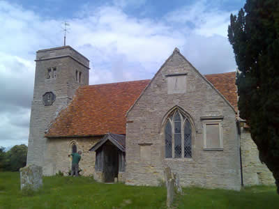
Sharnbrook railway station
Sharnbrook railway station was opened in 1857 by the Midland Railway to serve the village of Sharnbrook in Bedfordshire, England. It was on the Midland...
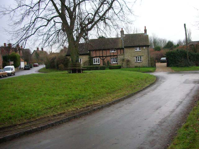
Souldrop
Souldrop is a village and former civil parish, now in the parish of Knotting and Souldrop, in the Bedford district, in the ceremonial county of Bedfordshire...

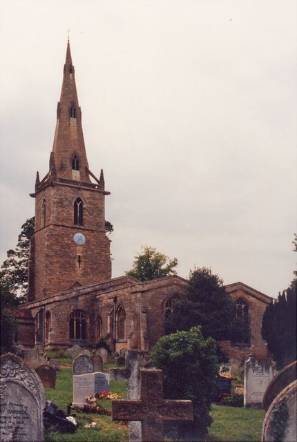
Church of St Peter, Sharnbrook
Church of St Peter is a Grade I listed church in Sharnbrook, Bedfordshire, England. It became a listed building on 13 July 1964. The parish church is...
Knotting, Bedfordshire
Knotting is a village and former civil parish, now in the parish of Knotting and Souldrop, in the Bedford district, in the ceremonial county of Bedfordshire...
Nearby Amenities
Located within 500m of 52.234885,-0.53078225Have you been to Greenditch Plantation?
Leave your review of Greenditch Plantation below (or comments, questions and feedback).