Horsell Common
Wood, Forest in Surrey Woking
England
Horsell Common

Horsell Common, located in Surrey, England, is a stunning area that encompasses approximately 800 acres of wood and forest. This vast common is a designated Site of Special Scientific Interest due to its diverse flora and fauna, making it a popular destination for nature enthusiasts, hikers, and wildlife enthusiasts.
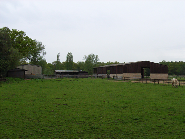
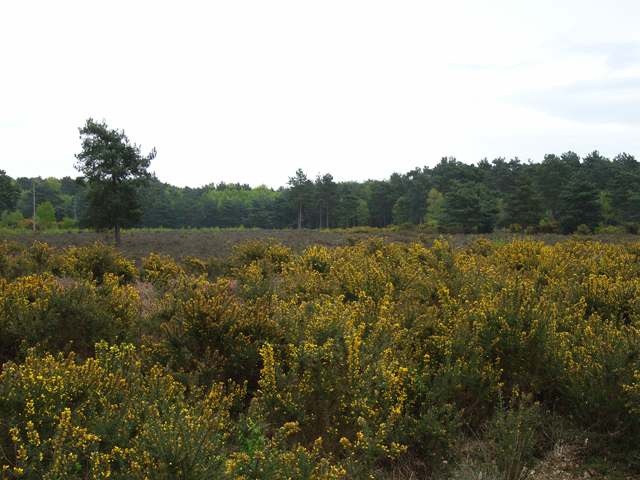
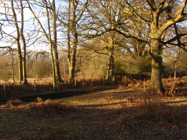
The landscape of Horsell Common is characterized by a mixture of woodland, heathland, and grassland, creating a rich and varied habitat. The woods are dominated by a variety of tree species, including oak, birch, beech, and pine, which provide shelter and food for an array of bird species. The forest floor is adorned with a carpet of bluebells in the spring, creating a picturesque sight.
Moreover, Horsell Common is home to a wide range of wildlife species, including deer, foxes, badgers, and numerous bird species such as woodpeckers, nightjars, and kestrels. The common is also known for its diverse insect population, including butterflies, dragonflies, and bees.
Aside from its natural beauty, Horsell Common also holds historical significance. It is said to have inspired H.G. Wells' science fiction novel "The War of the Worlds," as the fictional Martian invasion began on Horsell Common. A bronze sculpture depicting a tripod, a symbol from the novel, stands as a tribute to the author's connection with the area.
Horsell Common offers a tranquil and idyllic escape for visitors, inviting them to explore its enchanting woodland, witness its vibrant wildlife, and immerse themselves in its natural splendor.
If you have any feedback on the listing, please let us know in the comments section below.
Horsell Common Images
Images are sourced within 2km of 51.333421/-0.55979193 or Grid Reference TQ0060. Thanks to Geograph Open Source API. All images are credited.


Horsell Common is located at Grid Ref: TQ0060 (Lat: 51.333421, Lng: -0.55979193)
Administrative County: Surrey
District: Woking
Police Authority: Surrey
What 3 Words
///float.many.joins. Near Woking, Surrey
Nearby Locations
Related Wikis
Horsell
Horsell is a village in the borough of Woking in Surrey, England, less than a mile north-west of Woking town centre. In November 2012, its population was...

Horsell Common
Horsell Common is a 355-hectare (880-acre) open space in Horsell, near Woking in Surrey. It is owned and managed by the Horsell Common Preservation Society...

Woking High School
Woking High School (formerly named Horsell High School) is a coeducational secondary school with academy status, located in the Horsell area of Woking...

Woking power station
Woking power station supplied electricity to the Borough of Woking and the surrounding area from 1890 to 1960. The power station was operated by the Woking...
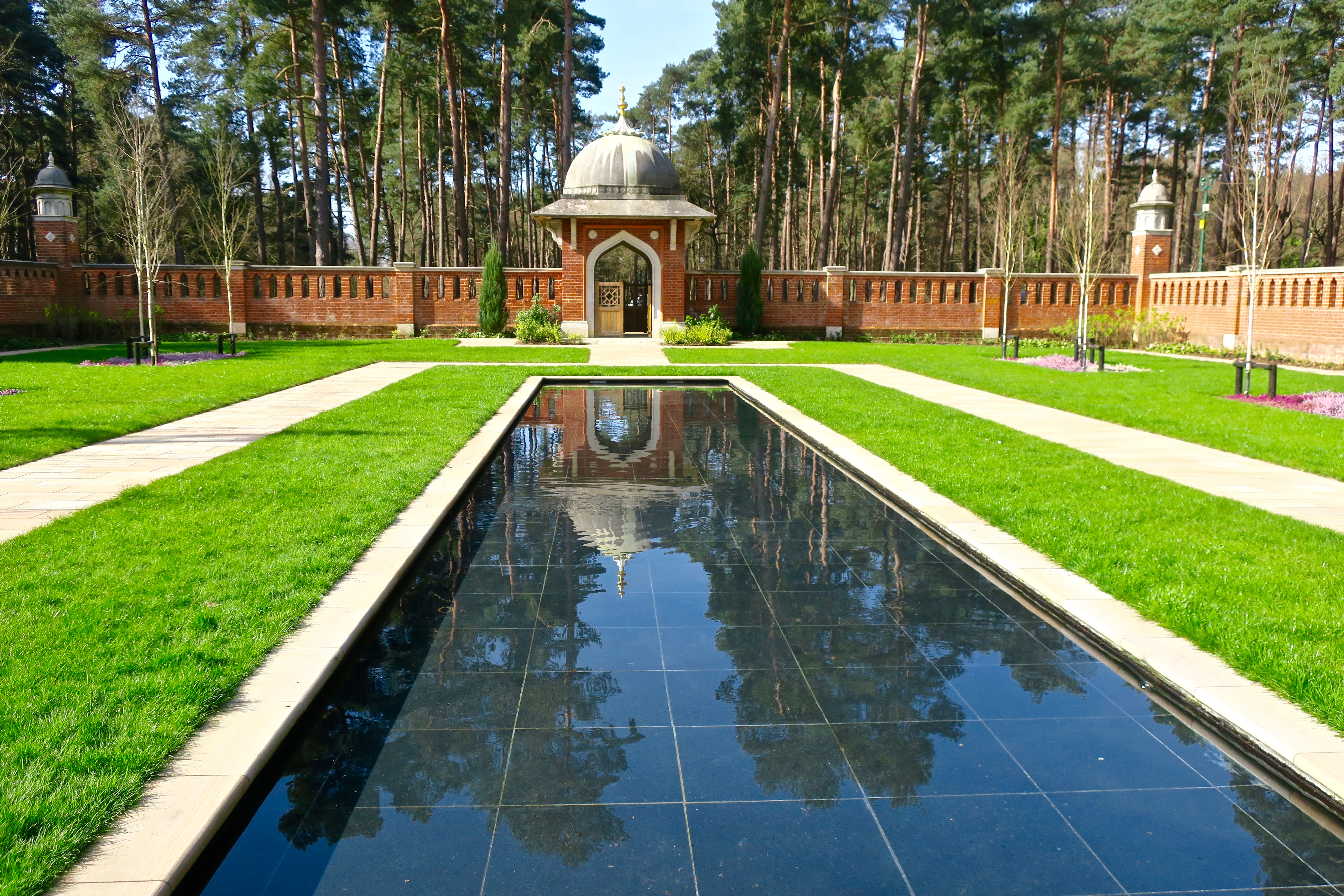
Muslim Burial Ground, Horsell Common
The Muslim Burial Ground, in the town of Woking in the English county of Surrey, was the original resting place of two dozen Muslim soldiers who died during...

The Lightbox
The Lightbox is a public gallery and museum located in Woking, Surrey, in the South East of England. Three galleries host a range of exhibitions, changing...
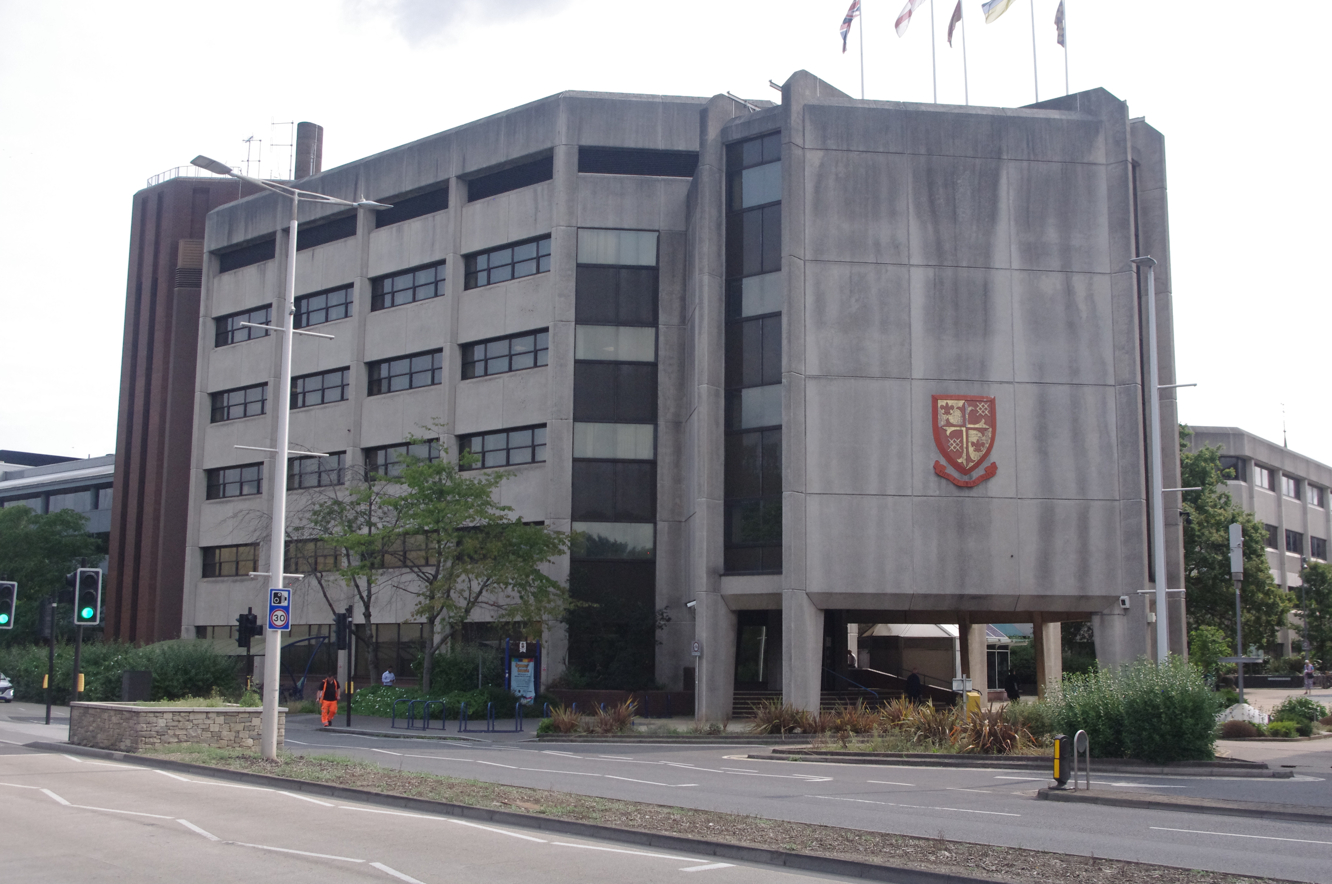
Woking Civic Offices
Woking Civic Offices is a municipal building in Gloucester Walk, Woking, Surrey, England. It is in use as the headquarters of Woking Borough Council....
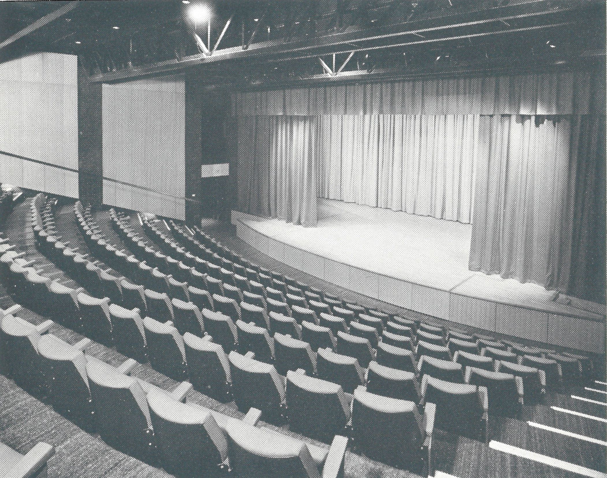
Rhoda McGaw Theatre
The Rhoda McGaw Theatre is part of the entertainment complex adjacent to the Peacock Centre in Woking, Surrey. The theatre seats 228 in 9 rows of raked...
Nearby Amenities
Located within 500m of 51.333421,-0.55979193Have you been to Horsell Common?
Leave your review of Horsell Common below (or comments, questions and feedback).