Eastville
Settlement in Gloucestershire
England
Eastville
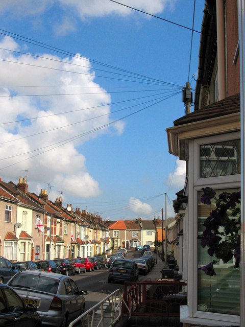
Eastville is a picturesque village located in the county of Gloucestershire, England. Situated in the heart of the Cotswolds, it is surrounded by lush green landscapes and rolling hills, offering breathtaking views to its residents and visitors alike. The village is nestled in a rural setting, providing a peaceful and tranquil atmosphere for its inhabitants.
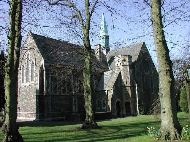
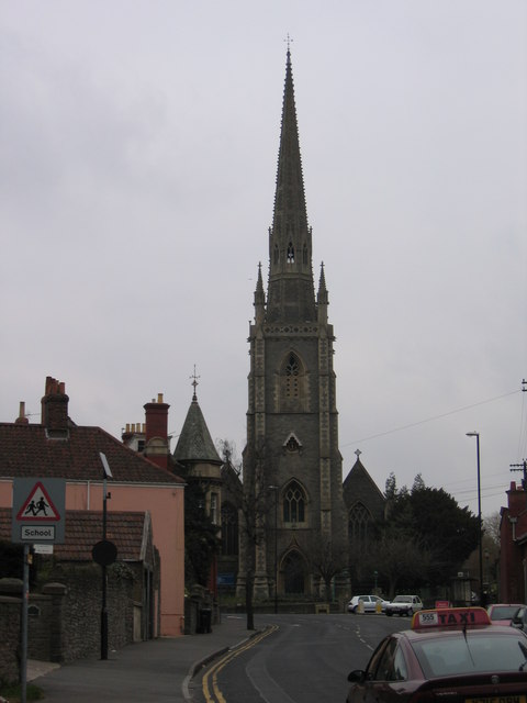
Historically, Eastville has a rich past dating back to medieval times, with evidence of human habitation in the area since prehistoric times. The village boasts several well-preserved historic buildings, including a beautiful 12th-century church, St. Mary's, which stands as a testament to its heritage.
Despite its small size, Eastville offers a range of amenities to cater to the needs of its residents. The village has a local primary school, providing quality education to the younger population. Additionally, there is a cozy pub where locals and tourists can enjoy a pint of ale or indulge in traditional British cuisine.
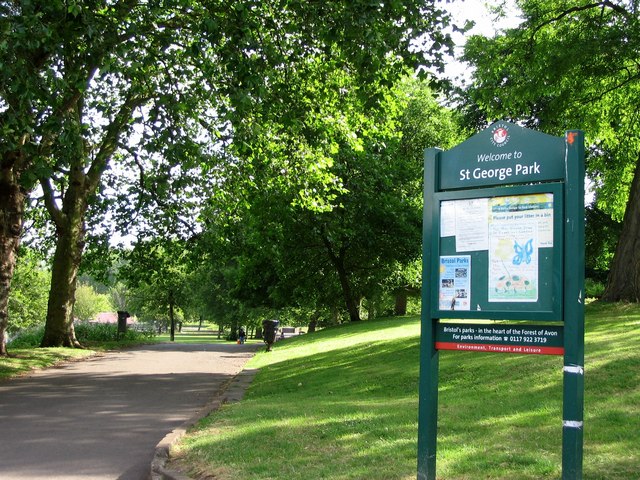
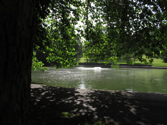
Nature enthusiasts will find plenty to explore in the surrounding area. Eastville is located near several nature reserves and parks, offering opportunities for hiking, cycling, and wildlife spotting. The village is also a gateway to the Cotswolds Area of Outstanding Natural Beauty, renowned for its idyllic scenery.
Transport links in Eastville are convenient, with regular bus services connecting the village to nearby towns and cities. The village is also easily accessible by car, with major roads in close proximity.
Overall, Eastville is a charming and picturesque village, offering a peaceful retreat from the hustle and bustle of city life. Its rich history, stunning landscapes, and close-knit community make it a delightful place to visit or call home.
If you have any feedback on the listing, please let us know in the comments section below.
Eastville Images
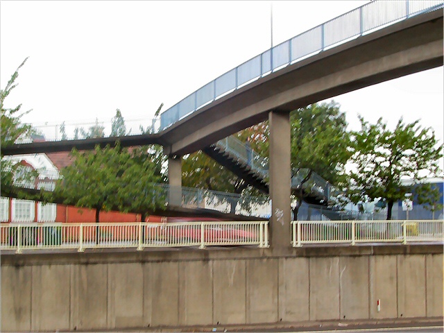
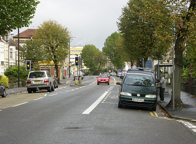
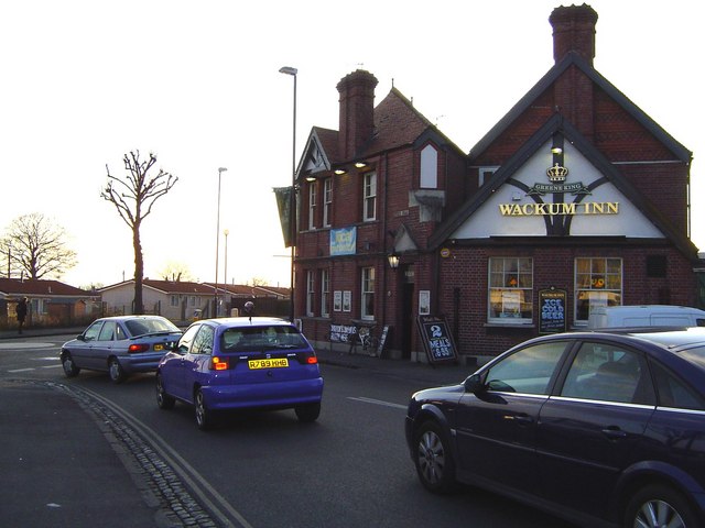
Images are sourced within 2km of 51.474023/-2.5607831 or Grid Reference ST6175. Thanks to Geograph Open Source API. All images are credited.


Eastville is located at Grid Ref: ST6175 (Lat: 51.474023, Lng: -2.5607831)
Unitary Authority: Bristol
Police Authority: Avon and Somerset
What 3 Words
///people.taxi.hooks. Near Bristol
Related Wikis
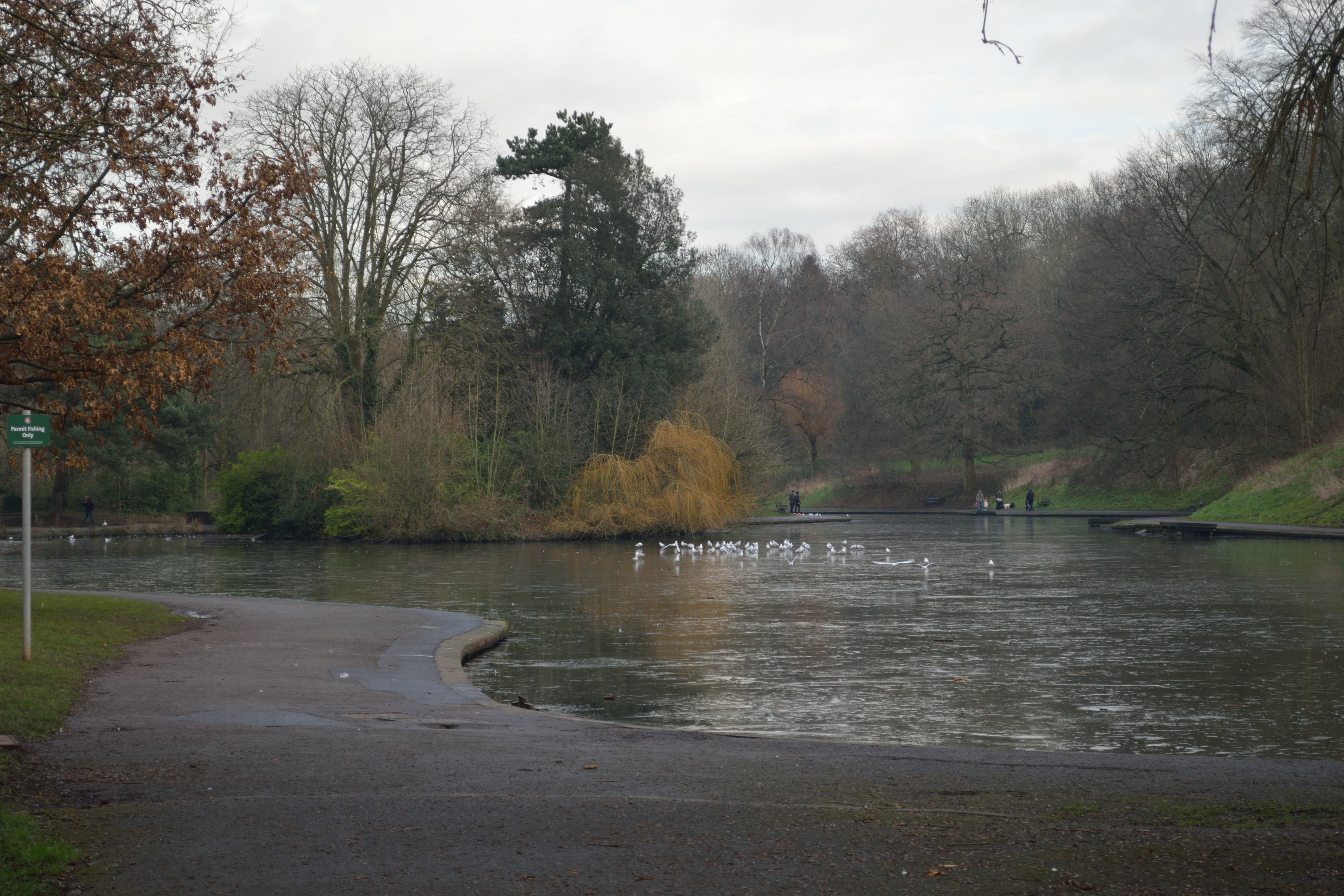
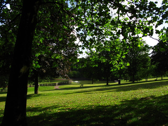
Eastville Park
Eastville Park is an urban park in Bristol, England. The grounds that became the park were purchased from Greville Smyth of Ashton Court and the boundary...
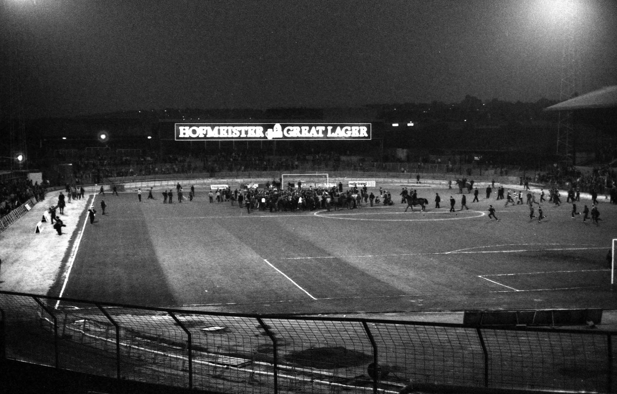
Eastville Stadium
Eastville Stadium, also known as Bristol Stadium and Bristol Stadium – Eastville, was a stadium in Eastville, a northern suburb of the English city of...
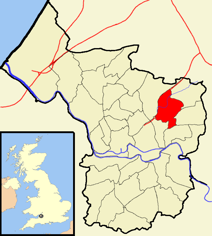
Eastville, Bristol
Eastville is the name of both a council ward in the city of Bristol in the United Kingdom and a suburb of the city that lies within that ward. The Eastville...

Barton Regis Rural District
Barton Regis was, from 1894 to 1904, a rural district in the English administrative county of Gloucestershire, adjacent to the City of Bristol. == Formation... ==
Nearby Amenities
Located within 500m of 51.474023,-2.5607831Have you been to Eastville?
Leave your review of Eastville below (or comments, questions and feedback).