Bluebelle Wood

Wood, Forest in Surrey Runnymede

England

Bluebelle Wood

The Old School Café On Longcross Road (B386).
The Old School Café Credit: JThomas

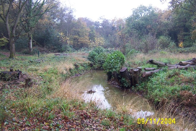
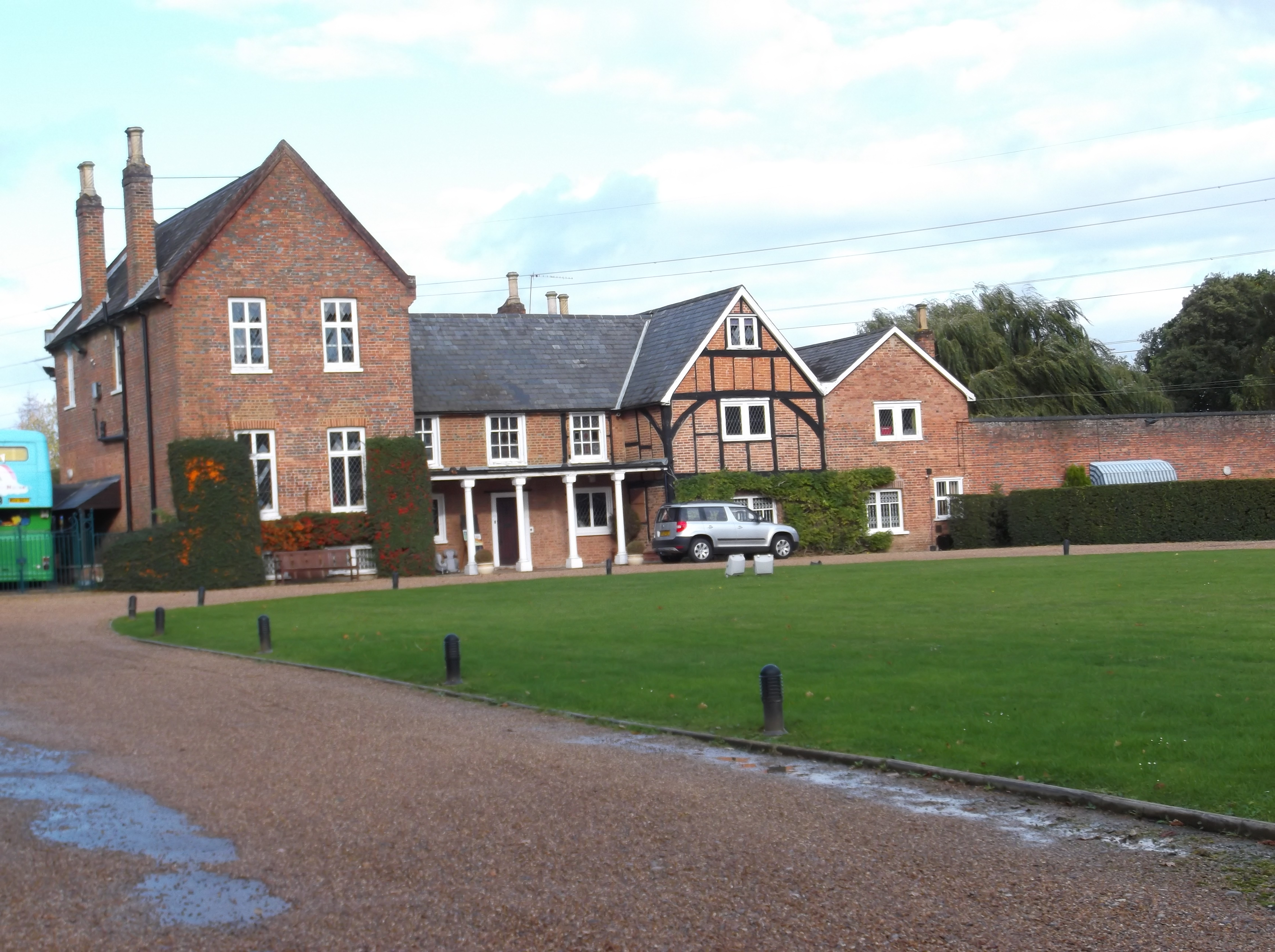
Bluebelle Wood is a picturesque woodland located in Surrey, England. Spread across an area of approximately 100 acres, it is renowned for its breathtaking natural beauty and diverse wildlife. The wood is primarily composed of native broadleaf trees, such as oak, beech, and ash, which create a dense canopy and provide a habitat for a wide range of flora and fauna.

Visitors to Bluebelle Wood can expect to be greeted by a stunning display of bluebells during the spring, which gives the wood its name. The vibrant blue carpet of flowers is a sight to behold and attracts nature enthusiasts and photographers from far and wide. In addition to bluebells, the wood is also home to a variety of other wildflowers, including primroses, wood anemones, and wild garlic, which add to its charm.

The wood offers numerous walking trails and pathways, allowing visitors to explore its various sections and discover its hidden treasures. Along the way, one may encounter a plethora of wildlife, such as deer, foxes, rabbits, and a wide range of bird species. The tranquil atmosphere and the soothing sounds of chirping birds make Bluebelle Wood an ideal place for nature lovers seeking solace and relaxation.

Bluebelle Wood is a well-managed woodland, with designated conservation areas and educational signage. It is open to the public throughout the year and is a popular destination for families, hikers, and nature enthusiasts. Whether one is looking for a peaceful stroll, a nature photography expedition, or simply a place to reconnect with nature, Bluebelle Wood offers a captivating experience for all who visit.

If you have any feedback on the listing, please let us know in the comments section below.

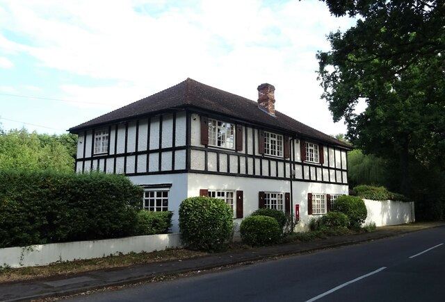
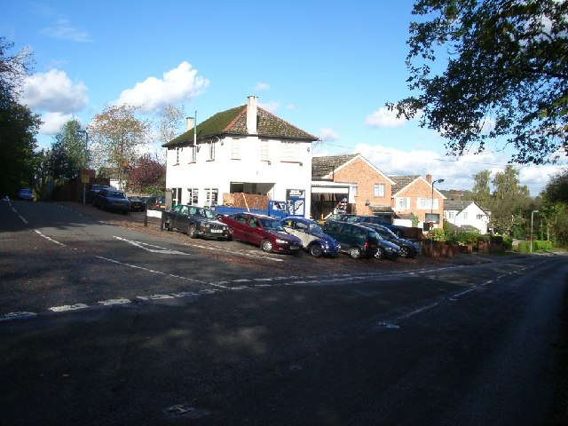
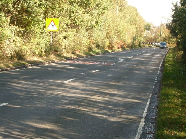
Bluebelle Wood Images

Images are sourced within 2km of 51.388635/-0.56061751 or Grid Reference TQ0066. Thanks to Geograph Open Source API. All images are credited.

The Old School Café On Longcross Road (B386).
The Old School Café
On Longcross Road (B386).
Kitsmead Lane Towards Virginia Water.
Kitsmead Lane
Towards Virginia Water.
Longcross Road (B386) Towards Addlestone.
Longcross Road (B386)
Towards Addlestone.
Elizabeth II postbox on Kitsmead Lane Postbox No. KT16 82.
Elizabeth II postbox on Kitsmead Lane
Postbox No. KT16 82.
The Post House on Kitsmead Lane Showing position of Postbox No. KT16 82.
The Post House on Kitsmead Lane
Showing position of Postbox No. KT16 82.
The Bourne, Virginia Water Recent clearance of trees has opened up this scene of The Bourne in the woodland between Virginia Water and Trumps Green. This view is taken looking westwards and upstream.
The Bourne, Virginia Water
Recent clearance of trees has opened up this scene of The Bourne in the woodland between Virginia Water and Trumps Green. This view is taken looking westwards and upstream.
Garage at the junction of Wellington Avenue and Trumpsgreen Road looking north
Garage at the junction of Wellington Avenue and Trumpsgreen Road
looking north
Chobham Lane looking north-east
Chobham Lane
looking north-east
M3 West View down the M3 from a bridge over
M3 West
View down the M3 from a bridge over
Footpath to Harrow Bottom
Station Approach Local shops near Virginia Water station.
Station Approach
Local shops near Virginia Water station.
Vintage Buses at Longcross Test Track. These buses were at the annual Cobham Bus Rally, which was held at Longcross Testing Ground in 2007. Many types of buses were on display, this small collection of Vintage Vehicles were of particular interest.
Vintage Buses at Longcross Test Track.
These buses were at the annual Cobham Bus Rally, which was held at Longcross Testing Ground in 2007. Many types of buses were on display, this small collection of Vintage Vehicles were of particular interest.
Christ Church, Longcross Built in 1847.
Christ Church, Longcross
Built in 1847.
Virginia Water A fine display of daffodils on the green between Station Approach and Christchurch Road (in the background)
Virginia Water
A fine display of daffodils on the green between Station Approach and Christchurch Road (in the background)
Trumps Green railway arch The railway arch just down line from Virginia Water station carrying the Sunningdale line over Trumps Green Road
Trumps Green railway arch
The railway arch just down line from Virginia Water station carrying the Sunningdale line over Trumps Green Road
Beechmont Avenue, Trumps Green Beechmont Avenue from its junction with Trumps Green Road.
Beechmont Avenue, Trumps Green
Beechmont Avenue from its junction with Trumps Green Road.
Trumps Green Road View along Trumps Green Road. This road runs from Virginia Water towards Longcross and Chobham. The King George V recreation ground is on the left side of the road.
Trumps Green Road
View along Trumps Green Road. This road runs from Virginia Water towards Longcross and Chobham. The King George V recreation ground is on the left side of the road.
Trumps Green The tennis courts on the King George V recreation Ground
Trumps Green
The tennis courts on the King George V recreation Ground
Show me another place!

Bluebelle Wood is located at Grid Ref: TQ0066 (Lat: 51.388635, Lng: -0.56061751)

Administrative County: Surrey

District: Runnymede

Police Authority: Surrey

What 3 Words

///pitch.swung.shaped. Near Virginia Water, Surrey

Related Wikis

Lyne, Surrey

Lyne is a village in the Borough of Runnymede in Surrey, England, approximately 32 km (20 mi) southwest of central London. In the early 13th century, the...

Riverside Walk, Virginia Water

Riverside Walk is a 21.2-hectare (52-acre) local nature reserve in Virginia Water, Surrey. It is owned by Runnymede Borough Council and managed by The...

Virginia Water railway station

Virginia Water railway station serves the village of Virginia Water, in Surrey, England. It is 23 miles 15 chains (37.3 km) down the line from London Waterloo...

Borough of Runnymede

The Borough of Runnymede is a local government district with borough status in the English county of Surrey. It is a very prosperous part of the London...

Foxhills Golf Club

Foxhills is a golf club and resort located in Ottershaw, Surrey, United Kingdom. It was established in 1975 and named for Charles James Fox on whose former...

Holloway Sanatorium

Holloway Sanatorium was an institution for the treatment of those suffering temporary mental illness, situated on 22 acres (9 ha) of aesthetically landscaped...

Wentworth Estate

The Wentworth Estate is a private estate of large houses set in about 7 square kilometres (2.7 sq mi) woodland, in Runnymede, Surrey. It was commenced...

Thorpe Interchange

The Thorpe Interchange is a large motorway free-flow intersection in Surrey, United Kingdom, connecting the M3 with the M25. == History == === M3 === The...

Nearby Amenities

Located within 500m of 51.388635,-0.56061751
Trumps Farm
Landuse: farm
Note Retag: CS #48756035
Source: npe
Lat/Long: 51.3900478/-0.5635424
Speed Camera
Maxspeed: 70 mph
Ref: 1364A
Lat/Long: 51.3903849/-0.5666388
Fairview Farm
Place: locality
Lat/Long: 51.3910328/-0.5608476
Lyne Place Manor
Place: isolated_dwelling
Lat/Long: 51.3910078/-0.5552403
Man Made: mast
Lat/Long: 51.3905784/-0.5655438
Milestone
Distance: 36.0
Ref: B 36.0
Lat/Long: 51.3926863/-0.5615974
Milestone
Distance: 36.2
Ref: B 36.2
Lat/Long: 51.3916538/-0.5640243
Milestone
Distance: 36.5
Ref: A 36.5
Lat/Long: 51.3902442/-0.5670142
The data included in this document is from www.openstreetmap.org. The data is made available under ODbL.

Have you been to Bluebelle Wood?

Leave your review of Bluebelle Wood below (or comments, questions and feedback).