Long Green
Wood, Forest in Hertfordshire Dacorum
England
Long Green
Long Green is a small village located in the county of Hertfordshire, England. Situated in the eastern part of the county, it is known for its picturesque surroundings and abundance of woodland areas. The village is nestled within a dense forest, providing residents and visitors with a charming rural setting.
The woodlands surrounding Long Green are renowned for their natural beauty and ecological significance. The area is rich in biodiversity, with a variety of tree species, including oak, beech, and birch, dominating the landscape. This creates a tranquil atmosphere and attracts nature enthusiasts, hikers, and birdwatchers who enjoy exploring the numerous walking trails that wind through the forest.
Long Green itself is a small and close-knit community, with a population of around 500 residents. The village has a strong sense of community spirit, with regular events and gatherings held at the local community center. The residents take pride in maintaining the village's traditional charm, evident in the well-preserved thatched cottages and historic buildings that dot the streets.
Despite its rural setting, Long Green is conveniently located within easy reach of nearby towns and cities. The village benefits from good transportation links, with a well-connected road network that allows for easy access to surrounding areas. Additionally, there are reliable bus services connecting Long Green to nearby towns and villages, providing further convenience for residents.
Overall, Long Green offers a unique blend of natural beauty, a tight-knit community, and convenient access to amenities, making it an attractive place to live or visit for those seeking a peaceful and idyllic rural lifestyle.
If you have any feedback on the listing, please let us know in the comments section below.
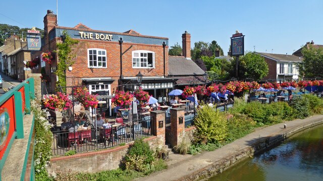
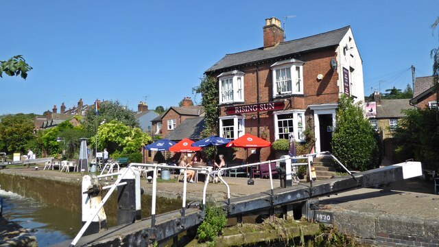
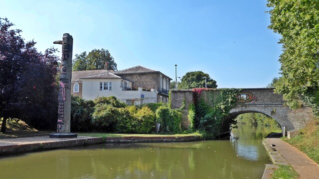
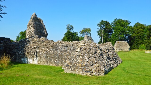
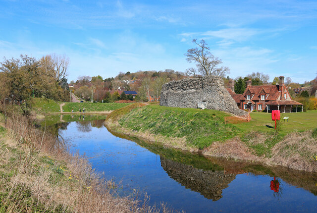
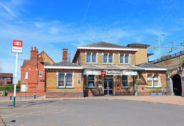
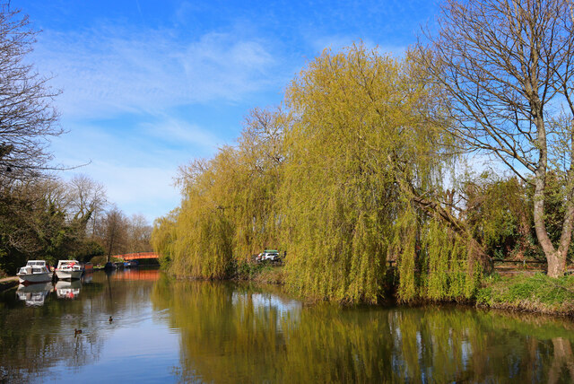
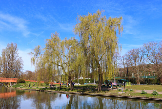
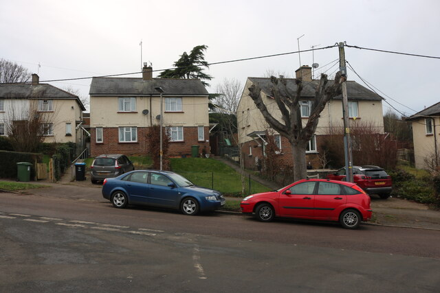
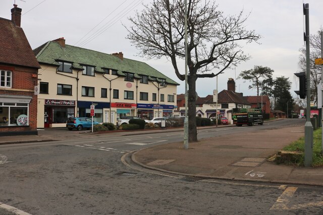
Long Green Images
Images are sourced within 2km of 51.748185/-0.55005861 or Grid Reference TL0006. Thanks to Geograph Open Source API. All images are credited.


Long Green is located at Grid Ref: TL0006 (Lat: 51.748185, Lng: -0.55005861)
Administrative County: Hertfordshire
District: Dacorum
Police Authority: Hertfordshire
What 3 Words
///cover.answer.robots. Near Berkhamsted, Hertfordshire
Nearby Locations
Related Wikis
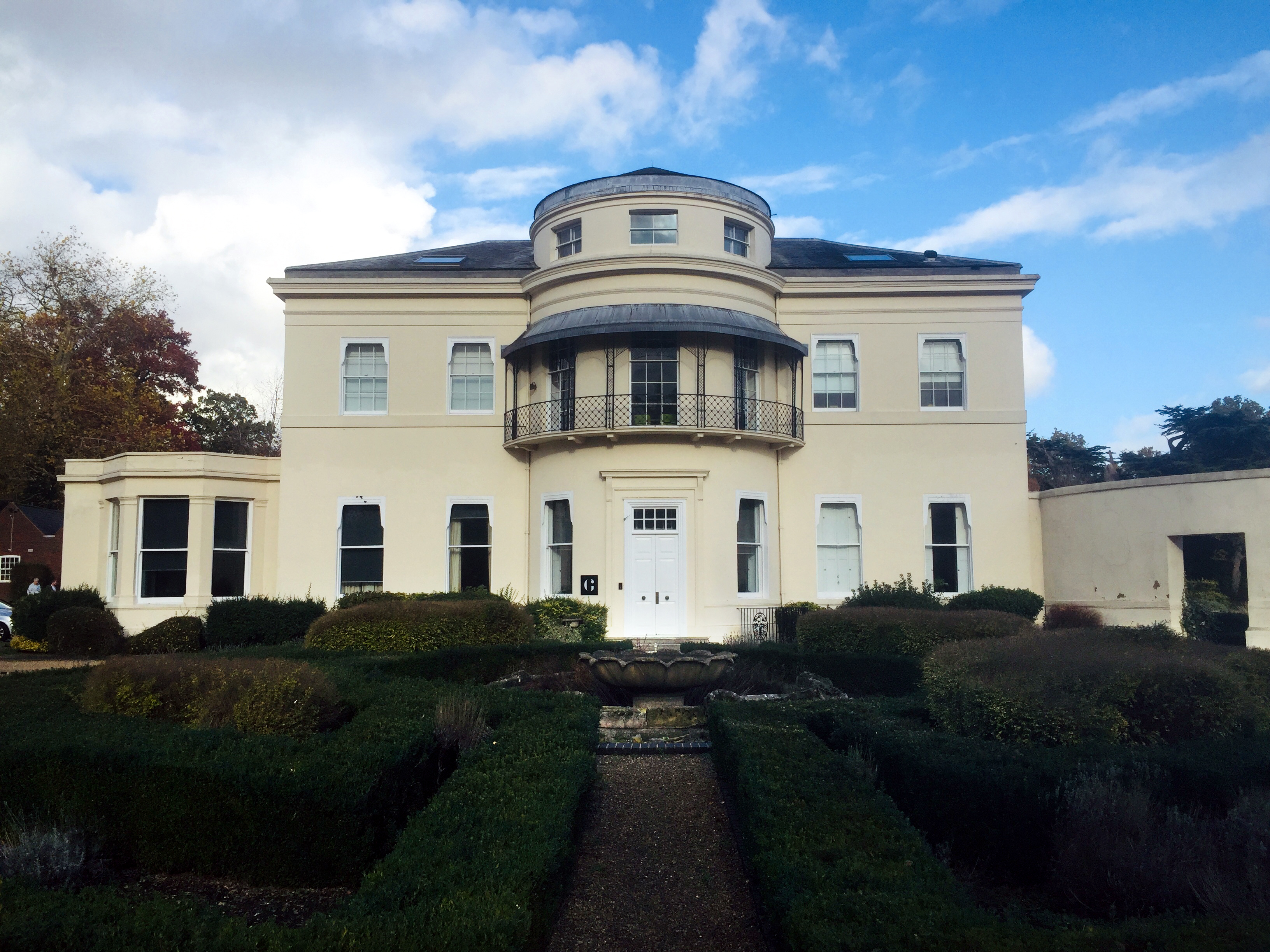
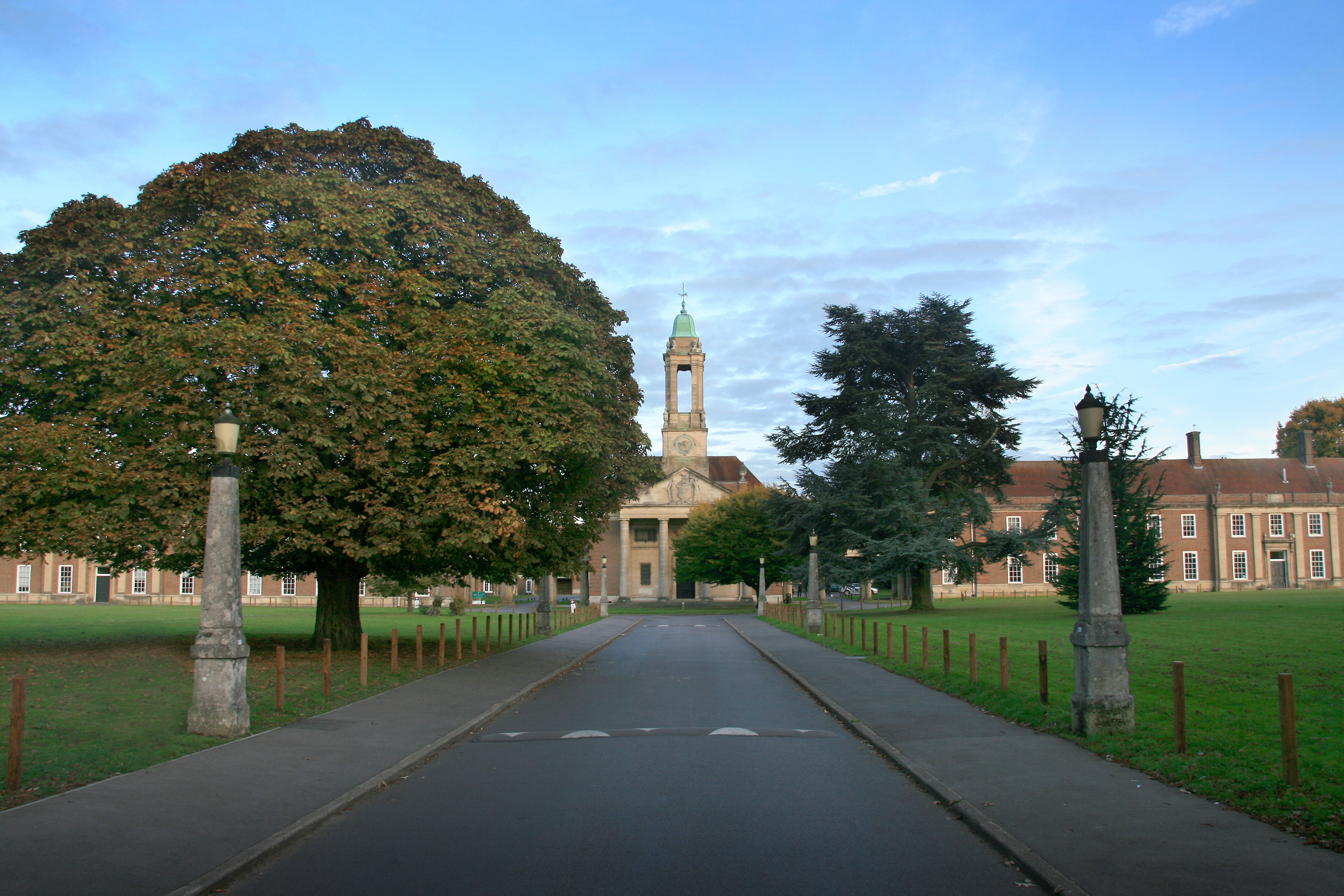
Ashlyns Hall
Ashlyns Hall is a country house at the edge of Berkhamsted in Hertfordshire, England. It is a Grade II* listed building. == History == The earliest local...
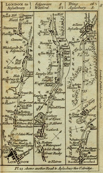
Sparrows Herne Turnpike Road
Sparrows Herne Turnpike Road from London to Aylesbury was an 18th-century English toll road passing through Watford and Hemel Hempstead. The route was...
Ashlyns School
Ashlyns School is a mixed secondary school and sixth form located in Berkhamsted, Hertfordshire, England. The school was established in 1935 as the final...

The Rex, Berkhamsted
The Rex is a cinema in the town of Berkhamsted, Hertfordshire, England. Designed in the art deco style by David Evelyn Nye in 1936, the cinema opened to...

Egerton House, Berkhamsted
Egerton House was a small Elizabethan mansion which stood on the High Street in the town of Berkhamsted, Hertfordshire in England. Built during the reign...
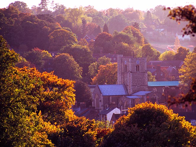
Berkhamsted
Berkhamsted ( BUR-kəm-sted) is a historic market town in Hertfordshire, England, in the Bulbourne valley, 26 miles (42 km) north-west of London. The town...
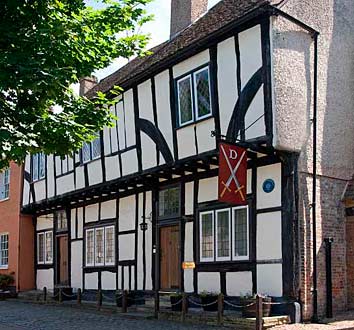
Dean Incent's House
Dean Incent's House is a 15th-century timber-framed house in Berkhamsted, Hertfordshire, England. It is reputed to be the birthplace of John Incent (c...
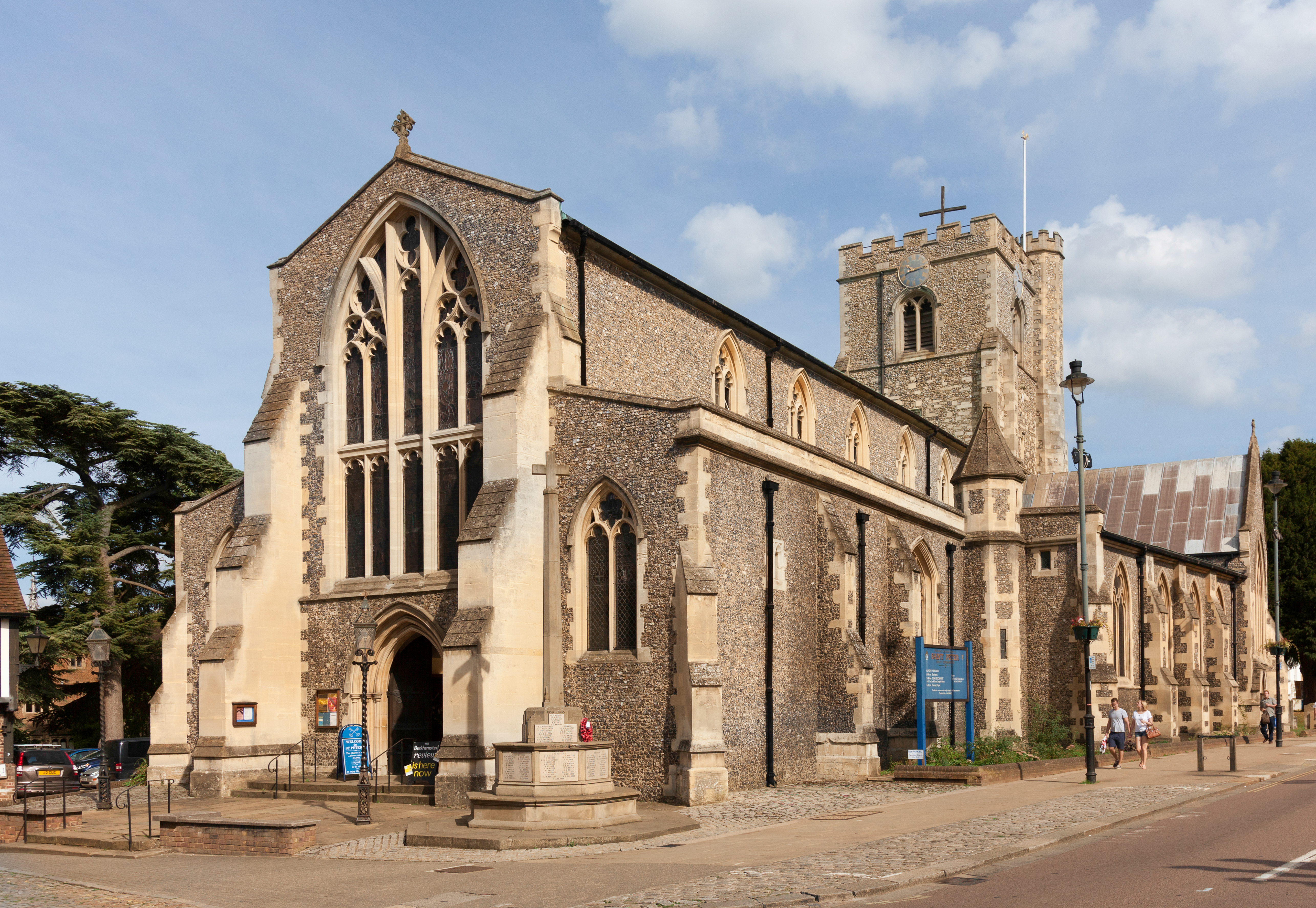
Church of St Peter, Great Berkhamsted
The Parish Church of St Peter, Great Berkhamsted, is a Church of England, Grade II* listed church in the town of Berkhamsted, Hertfordshire, in the United...
Nearby Amenities
Located within 500m of 51.748185,-0.55005861Have you been to Long Green?
Leave your review of Long Green below (or comments, questions and feedback).