Foxborough Hanger

Wood, Forest in Surrey Waverley

England

Foxborough Hanger

The British Pullman at Shalford Bulleid Pacific No. 35028 'Clan Line' enters Shalford Station with the 'British Pullman' dining train on its circular trip through the Surrey hills.  The train is due to stop here to replenish its tender from a fire engine in the station yard.  The fire engine is operated by a company that organises water refills for steam locomotives at planned stopping places in their itinerary, now that no facilities exist at stations any more.
The British Pullman at Shalford Credit: Bob Walters

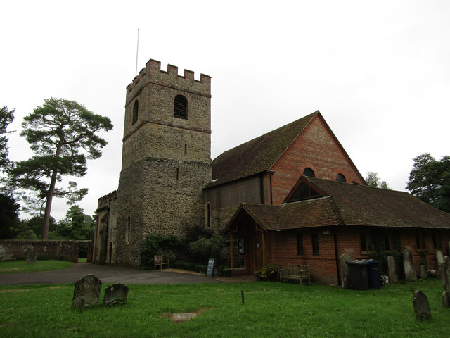
Foxborough Hanger is a prominent wooded area located in Surrey, England. It is a part of the larger Surrey Hills Area of Outstanding Natural Beauty (AONB), renowned for its stunning landscapes and diverse flora and fauna. This hanger is situated near the village of Shere, which is known for its picturesque charm and historic significance.

Covering an area of approximately 200 acres, Foxborough Hanger is characterized by dense woodland dominated by a variety of tree species, including oak, beech, and birch. These trees create a lush canopy that provides a habitat for numerous wildlife species, such as deer, foxes, badgers, and a wide variety of birds. The hanger is managed by local conservation authorities to preserve its natural beauty and protect its ecosystem.

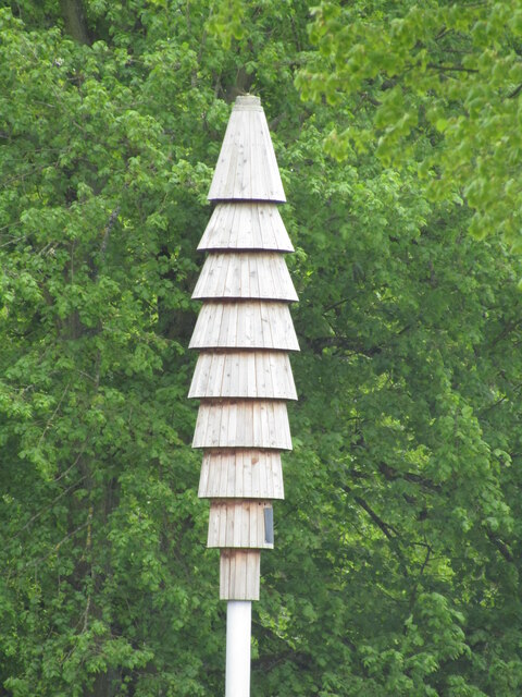
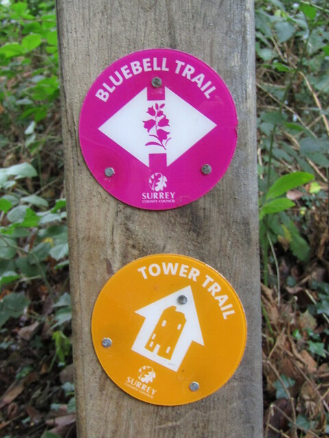
The woodland offers a network of well-maintained footpaths and trails, inviting visitors to explore its scenic surroundings. Hikers and nature enthusiasts can enjoy a peaceful and tranquil experience amidst the ancient trees and listen to the soothing sounds of nature. The hanger is a popular destination for outdoor activities such as walking, birdwatching, and photography.

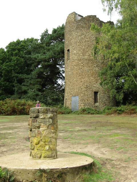
In addition to its natural beauty, Foxborough Hanger holds historical importance as it was once used for timber production during the medieval period. The remnants of old saw pits and charcoal hearths can still be found scattered throughout the area, providing a glimpse into its past.

Overall, Foxborough Hanger in Surrey is a captivating woodland that offers visitors a chance to immerse themselves in nature, discover its rich biodiversity, and appreciate its historical significance.

If you have any feedback on the listing, please let us know in the comments section below.

Foxborough Hanger Images

Images are sourced within 2km of 51.198644/-0.57021008 or Grid Reference SU9945. Thanks to Geograph Open Source API. All images are credited.

The British Pullman at Shalford Bulleid Pacific No. 35028 'Clan Line' enters Shalford Station with the 'British Pullman' dining train on its circular trip through the Surrey hills.  The train is due to stop here to replenish its tender from a fire engine in the station yard.  The fire engine is operated by a company that organises water refills for steam locomotives at planned stopping places in their itinerary, now that no facilities exist at stations any more.
The British Pullman at Shalford
Bulleid Pacific No. 35028 'Clan Line' enters Shalford Station with the 'British Pullman' dining train on its circular trip through the Surrey hills. The train is due to stop here to replenish its tender from a fire engine in the station yard. The fire engine is operated by a company that organises water refills for steam locomotives at planned stopping places in their itinerary, now that no facilities exist at stations any more.
Shalford - The Queen Victoria A popular village pub beside Shalford Railway Station.
Shalford - The Queen Victoria
A popular village pub beside Shalford Railway Station.
Shalford - Railway Station On the North Downs Line, Shalford Station caters for trains to Guildford and Reading in one direction, plus to Redhill and Gatwick Airport the other way.
Shalford - Railway Station
On the North Downs Line, Shalford Station caters for trains to Guildford and Reading in one direction, plus to Redhill and Gatwick Airport the other way.
Shalford - Village Sign Pictorial sign showing St Christopher carrying the Christ Child through a shallow ford (hence Shalford).
Shalford - Village Sign
Pictorial sign showing St Christopher carrying the Christ Child through a shallow ford (hence Shalford).
Shalford - Swift Tower Swift nesting sculpture by Will Nash, on Shalford Common in the village centre.
The whole pole is ca 10 metres high.
Shalford - Swift Tower
Swift nesting sculpture by Will Nash, on Shalford Common in the village centre. The whole pole is ca 10 metres high.
Wonersh - St John the Baptist Church A church has been on this site since Saxon times.
Note the tribute to Queen Elizabeth II on the altar.
<span class="nowrap"><a title="www.wonershchurch.org.uk" rel="nofollow ugc noopener" href="http://www.wonershchurch.org.uk">Link</a><img style="margin-left:2px;" alt="External link" title="External link - shift click to open in new window" src="https://s1.geograph.org.uk/img/external.png" width="10" height="10"/></span>
Wonersh - St John the Baptist Church
A church has been on this site since Saxon times. Note the tribute to Queen Elizabeth II on the altar. LinkExternal link
Wonersh - St John the Baptist Church A church has been on this site since Saxon times.
This brass memorial is on the nave floor and celebrates Algernon Leslie Brown, vicar 1906-47.
<span class="nowrap"><a title="www.wonershchurch.org.uk" rel="nofollow ugc noopener" href="http://www.wonershchurch.org.uk">Link</a><img style="margin-left:2px;" alt="External link" title="External link - shift click to open in new window" src="https://s1.geograph.org.uk/img/external.png" width="10" height="10"/></span>
Wonersh - St John the Baptist Church
A church has been on this site since Saxon times. This brass memorial is on the nave floor and celebrates Algernon Leslie Brown, vicar 1906-47. LinkExternal link
Wonersh - St John the Baptist Church Tribute to Queen Elizabeth II (1926-2022) on the altar.
<span class="nowrap"><a title="www.wonershchurch.org.uk" rel="nofollow ugc noopener" href="http://www.wonershchurch.org.uk">Link</a><img style="margin-left:2px;" alt="External link" title="External link - shift click to open in new window" src="https://s1.geograph.org.uk/img/external.png" width="10" height="10"/></span>
Wonersh - St John the Baptist Church
Tribute to Queen Elizabeth II (1926-2022) on the altar. LinkExternal link
Wonersh - Queen Elizabeth Memorial Tribute Tribute to Queen Elizabeth II (1926-2022) on the altar in the parish church, St John the Baptist.
<span class="nowrap"><a title="www.wonershchurch.org.uk" rel="nofollow ugc noopener" href="http://www.wonershchurch.org.uk">Link</a><img style="margin-left:2px;" alt="External link" title="External link - shift click to open in new window" src="https://s1.geograph.org.uk/img/external.png" width="10" height="10"/></span>
Wonersh - Queen Elizabeth Memorial Tribute
Tribute to Queen Elizabeth II (1926-2022) on the altar in the parish church, St John the Baptist. LinkExternal link
Wonersh - Font Inside the parish church, St John the Baptist - the font bowl is restored sandstone but the gritstone base may be pre-Norman Conquest.
<span class="nowrap"><a title="www.wonershchurch.org.uk" rel="nofollow ugc noopener" href="http://www.wonershchurch.org.uk">Link</a><img style="margin-left:2px;" alt="External link" title="External link - shift click to open in new window" src="https://s1.geograph.org.uk/img/external.png" width="10" height="10"/></span>
Wonersh - Font
Inside the parish church, St John the Baptist - the font bowl is restored sandstone but the gritstone base may be pre-Norman Conquest. LinkExternal link
Wonersh - Font Cover Inside the parish church, St John the Baptist - the font cover was donated in 1915 and is a reduced copy of Michaelangelo's Madonna and Child in Bruges.
<span class="nowrap"><a title="www.wonershchurch.org.uk" rel="nofollow ugc noopener" href="http://www.wonershchurch.org.uk">Link</a><img style="margin-left:2px;" alt="External link" title="External link - shift click to open in new window" src="https://s1.geograph.org.uk/img/external.png" width="10" height="10"/></span>
Wonersh - Font Cover
Inside the parish church, St John the Baptist - the font cover was donated in 1915 and is a reduced copy of Michaelangelo's Madonna and Child in Bruges. LinkExternal link
Wonersh - Parish Church The church of St John the Baptist is on the site of a Saxon predecessor.
<span class="nowrap"><a title="www.wonershchurch.org.uk" rel="nofollow ugc noopener" href="http://www.wonershchurch.org.uk">Link</a><img style="margin-left:2px;" alt="External link" title="External link - shift click to open in new window" src="https://s1.geograph.org.uk/img/external.png" width="10" height="10"/></span>
Wonersh - Parish Church
The church of St John the Baptist is on the site of a Saxon predecessor. LinkExternal link
Chinthurst Hill - Waymarkers Two waymarkers point towards short circular walks (Bluebell Trail and Tower Trail) on Chinthurst Hill, north of Wonersh.
Chinthurst Hill - Waymarkers
Two waymarkers point towards short circular walks (Bluebell Trail and Tower Trail) on Chinthurst Hill, north of Wonersh.
Wonersh - From Chinthurst Hill Modern residential area to the north of Wonersh village centre - one of the prospects from heavily wooded Chinthurst Hill.
<span class="nowrap"><a title="www.surreywildlifetrust.org" rel="nofollow ugc noopener" href="http://www.surreywildlifetrust.org">Link</a><img style="margin-left:2px;" alt="External link" title="External link - shift click to open in new window" src="https://s1.geograph.org.uk/img/external.png" width="10" height="10"/></span>
Wonersh - From Chinthurst Hill
Modern residential area to the north of Wonersh village centre - one of the prospects from heavily wooded Chinthurst Hill. LinkExternal link
Chinthurst Hill - Tower The stone tower is a folly, built in the late 1930s for Lord Inchcape. The small column in the foreground carries a toposcope but many of its given views are obscured by trees.
<span class="nowrap"><a title="www.surreywildlifetrust.org" rel="nofollow ugc noopener" href="http://www.surreywildlifetrust.org">Link</a><img style="margin-left:2px;" alt="External link" title="External link - shift click to open in new window" src="https://s1.geograph.org.uk/img/external.png" width="10" height="10"/></span>
Chinthurst Hill - Tower
The stone tower is a folly, built in the late 1930s for Lord Inchcape. The small column in the foreground carries a toposcope but many of its given views are obscured by trees. LinkExternal link
Wonersh - Grantley Arms Historic timber-framed pub, ca 500 years old, in the centre of Wonersh village.
<span class="nowrap"><a title="www.thegrantleyarms.co.uk" rel="nofollow ugc noopener" href="http://www.thegrantleyarms.co.uk">Link</a><img style="margin-left:2px;" alt="External link" title="External link - shift click to open in new window" src="https://s1.geograph.org.uk/img/external.png" width="10" height="10"/></span>
Wonersh - Grantley Arms
Historic timber-framed pub, ca 500 years old, in the centre of Wonersh village. LinkExternal link
Wonersh - The Street Picturesque black and white timber-framed houses line The Street in Wonersh's historic village centre, a conservation area.
Wonersh - The Street
Picturesque black and white timber-framed houses line The Street in Wonersh's historic village centre, a conservation area.
Wonersh - The Street Picturesque black and white timber-framed houses line The Street in Wonersh's historic village centre, a conservation area.
Wonersh - The Street
Picturesque black and white timber-framed houses line The Street in Wonersh's historic village centre, a conservation area.
Show me another place!

Foxborough Hanger is located at Grid Ref: SU9945 (Lat: 51.198644, Lng: -0.57021008)

Administrative County: Surrey

District: Waverley

Police Authority: Surrey

What 3 Words

///union.glass.thing. Near Bramley, Surrey

Related Wikis

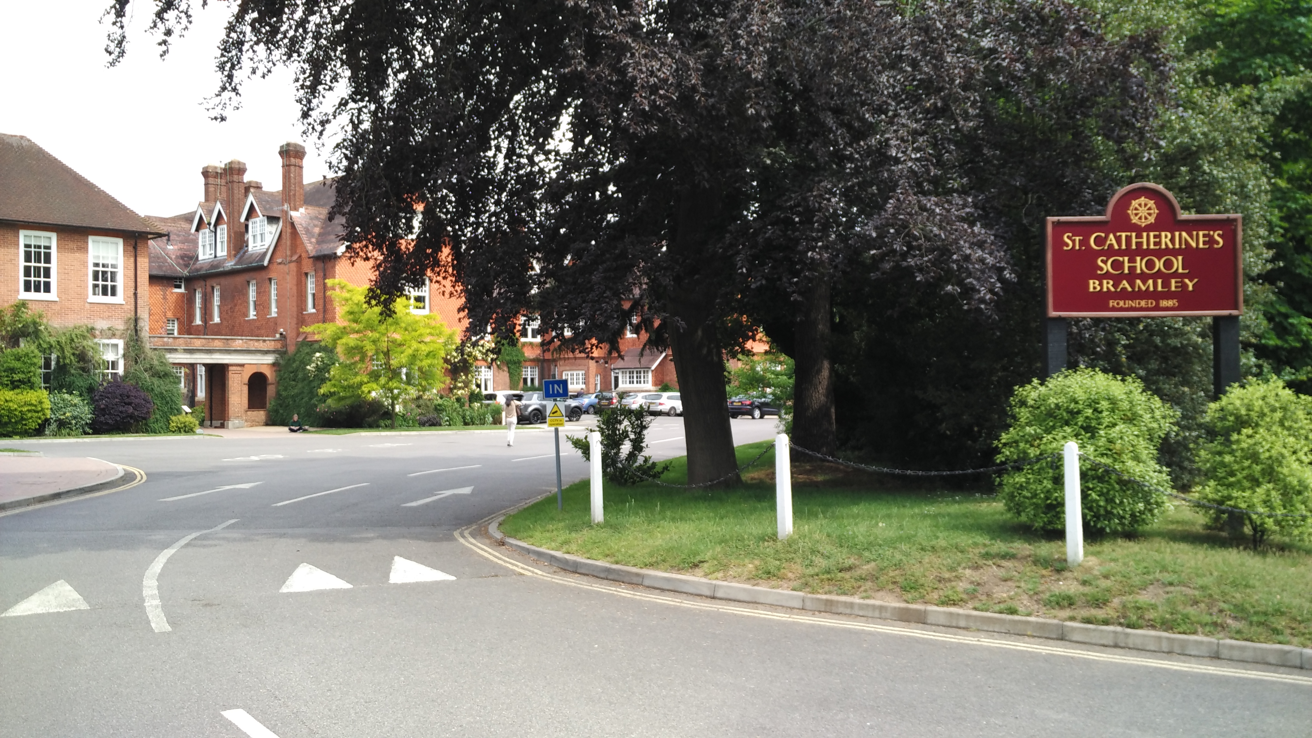
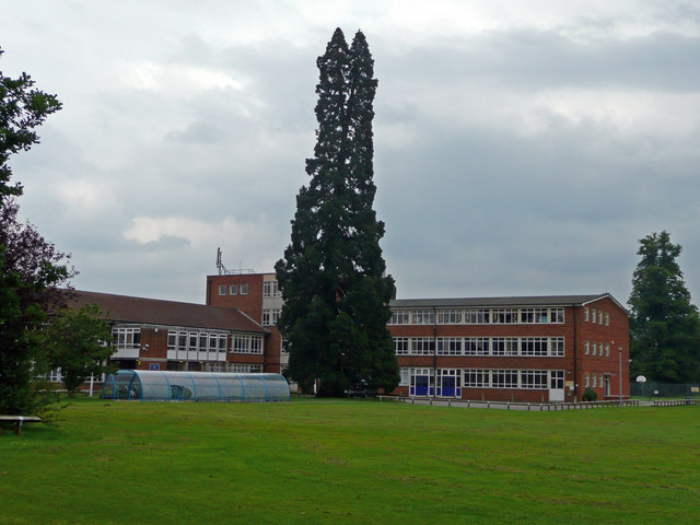
St Catherine's School, Bramley

St Catherine's School is an independent girls' boarding and day school in the village of Bramley, near Guildford, Surrey, England. The school is divided...

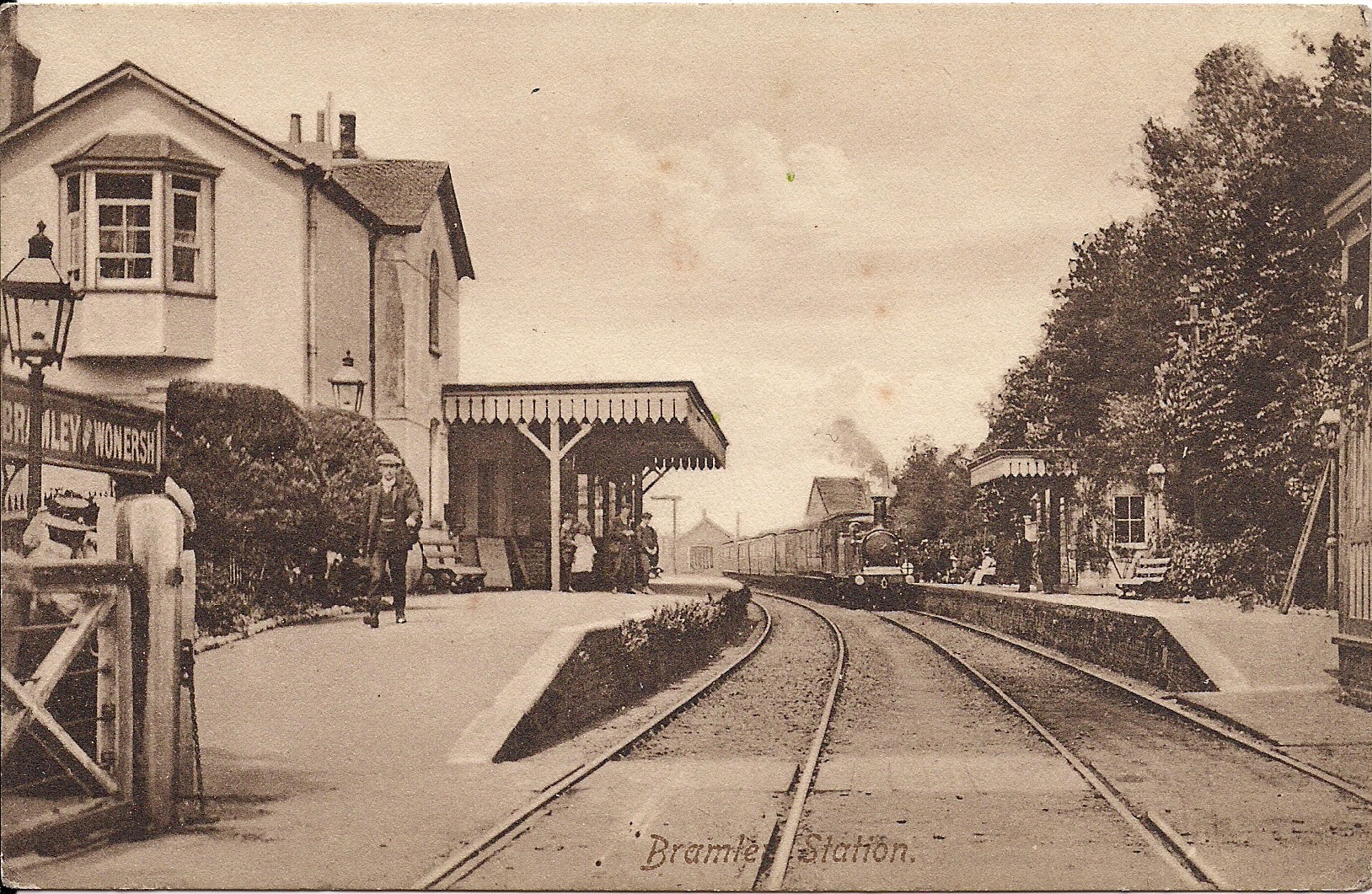
Bramley & Wonersh railway station

Bramley & Wonersh was a railway station on the Cranleigh Line. It served the villages of Bramley and Wonersh in Surrey. == History == Opened in 1865 as...
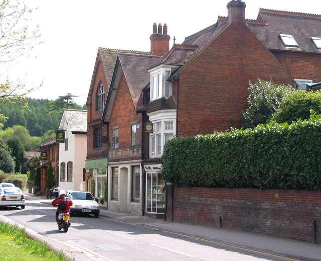
Bramley, Surrey

Bramley is a village and civil parish about three miles (5 km) south of Guildford in the Borough of Waverley in Surrey, south east England. Most of the...

Wey Valley Meadows

Wey Valley Meadows is a 94.1-hectare (233-acre) biological Site of Special Scientific Interest north of Godalming in Surrey.This 4-kilometre (2.5-mile...

Chinthurst Hill

Chinthurst Hill is a 17.2-hectare (43-acre) Local Nature Reserve south of Guildford in Surrey. It is owned by Surrey County Council and managed by Surrey...
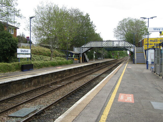
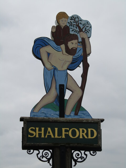
Shalford, Surrey

Shalford is a village and civil parish in Surrey, England on the A281 Horsham road immediately south of Guildford. It has a railway station which is between...
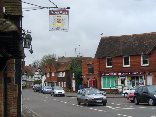
Wonersh

Wonersh is a village and civil parish in the Waverley district of Surrey, England and Surrey Hills Area of Outstanding Natural Beauty. Wonersh contains...

Broadwater School

Broadwater School is a coeducational secondary school in the village of Farncombe, situated in the county of Surrey in England. Established as Broadwater...

Nearby Amenities

Located within 500m of 51.198644,-0.57021008
BRAMLEY1
Disused: yes
Man Made: petroleum_well
Ref GB Decc: LR/23-2
Source: DECC
Lat/Long: 51.2002778/-0.5748056
Parking
Access: yes
Fee: no
Parking: surface
Lat/Long: 51.2005455/-0.5640817
Post Box
Brand: Royal Mail
Brand Wikidata: Q638098
Collection Times: Mo-Fr 09:00; Sa 07:00
Operator: Royal Mail
Operator Wikidata: Q638098
Post Box Mounting: stone_wall
Post Box Type: wall
Ref: GU5 22D
Royal Cypher: GR
Royal Cypher Wikidata: Q33102273
Lat/Long: 51.2002423/-0.5651292
Bus Stop
Gosden House School
Bench: yes
Bin: no
Naptan AtcoCode: 40004407363A
Naptan Bearing: NW
Naptan CommonName: Gosden House School
Naptan Indicator: Just Before
Naptan Landmark: Gosden House School
Naptan NaptanCode: suratdtw
Naptan Street: Horsham Road
Naptan Verified: no
Public Transport: platform
Shelter: yes
Source: naptan_import
Lat/Long: 51.1998014/-0.5649316
Bus Stop
Gosden House School
Bench: no
Bin: no
Naptan AtcoCode: 40004407363B
Naptan Bearing: SE
Naptan CommonName: Gosden House School
Naptan Indicator: Just after
Naptan Landmark: Gosden House School
Naptan NaptanCode: suratdwa
Naptan Street: Horsham Road
Naptan Verified: no
Public Transport: platform
Shelter: yes
Source: naptan_import
Tactile Paving: no
Lat/Long: 51.2003532/-0.5654496
Bus Stop
Foxborough Hill Road
Naptan AtcoCode: 40004407523A
Naptan Bearing: SE
Naptan CommonName: Foxborough Hill Road
Naptan Indicator: Opp
Naptan Landmark: Foxborough Hill Road
Naptan NaptanCode: suratmpj
Naptan Street: Horsham Road
Naptan Verified: no
Public Transport: platform
Source: naptan_import
Lat/Long: 51.2014374/-0.5669514
Bus Stop
Foxborough Hill Road
Naptan AtcoCode: 40004407524A
Naptan Bearing: NW
Naptan CommonName: Foxborough Hill Road
Naptan Indicator: Just after
Naptan Landmark: Foxborough Hill Road
Naptan NaptanCode: suratmpm
Naptan Street: Horsham Road
Naptan Verified: no
Public Transport: platform
Source: naptan_import
Lat/Long: 51.2015024/-0.5672587
Kerb: raised
Lat/Long: 51.2001717/-0.5653158
Golf: pin
Lat/Long: 51.1992664/-0.5701338
Golf: pin
Lat/Long: 51.196936/-0.5745517
Golf: pin
Lat/Long: 51.1973928/-0.5721037
Golf: pin
Lat/Long: 51.1965578/-0.5730535
Golf: pin
Lat/Long: 51.1947495/-0.5712029
Golf: pin
Lat/Long: 51.1948531/-0.5665599
Golf: pin
Lat/Long: 51.1972282/-0.5706099
Golf: pin
Lat/Long: 51.1943981/-0.5685974
Golf: pin
Lat/Long: 51.1960896/-0.5708808
Golf: pin
Lat/Long: 51.1977725/-0.5711604
Golf: pin
Lat/Long: 51.1952194/-0.5668161
Golf: pin
Lat/Long: 51.195736/-0.5665811
Golf: pin
Lat/Long: 51.1981161/-0.5700857
Golf: pin
Lat/Long: 51.1984455/-0.5670981
The data included in this document is from www.openstreetmap.org. The data is made available under ODbL.

Have you been to Foxborough Hanger?

Leave your review of Foxborough Hanger below (or comments, questions and feedback).