Butcher's Close Holt
Wood, Forest in Lincolnshire South Kesteven
England
Butcher's Close Holt

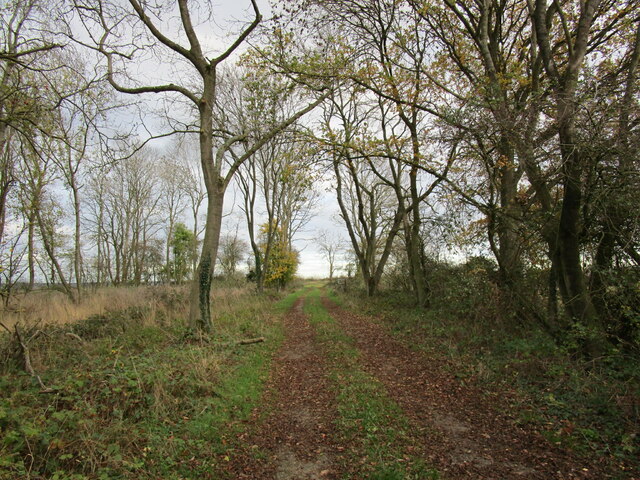
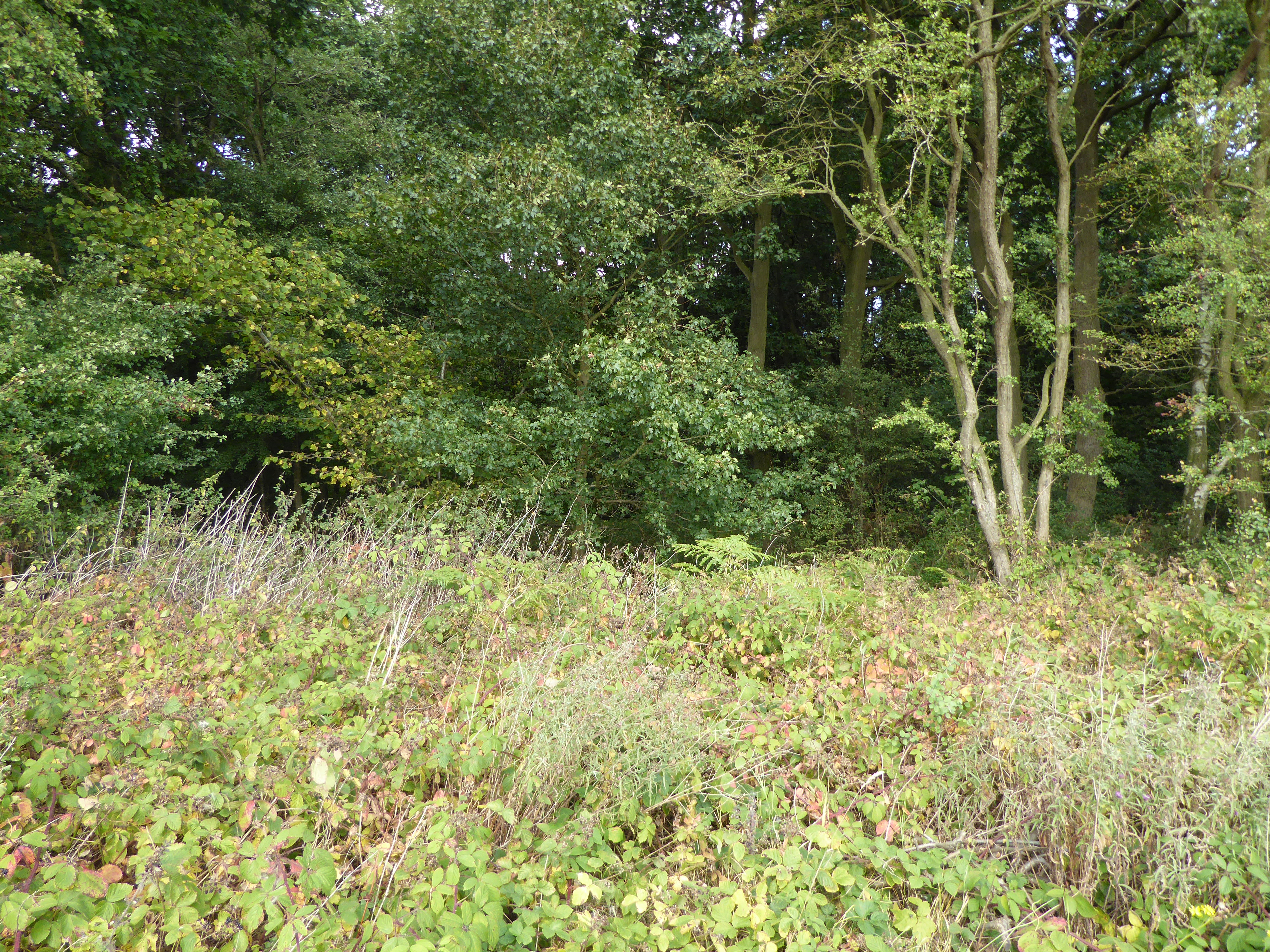
Butcher's Close Holt is a woodland area located in Lincolnshire, England. Situated in the rural countryside, it is a part of the larger Holt Forest, known for its natural beauty and diverse ecosystem. The woodland is named after the historical occupation of butchery, as it was once used as a hunting ground for the local butchers.
Covering an area of approximately 10 acres, Butcher's Close Holt is characterized by its dense canopy of trees, predominantly consisting of native species such as oak, ash, and birch. The forest floor is covered with a thick layer of leaf litter, providing a habitat for a variety of small mammals, insects, and fungi.
The woodland offers a tranquil escape for nature enthusiasts and provides an opportunity for recreational activities such as hiking, birdwatching, and photography. Several walking trails wind through the forest, offering visitors a chance to explore its beauty and observe the wildlife that inhabits the area.
Butcher's Close Holt is also of historical significance, with evidence of human activity dating back centuries. The site contains remnants of ancient earthworks and has been the subject of archaeological investigations, revealing artifacts and structures from different eras.
Overall, Butcher's Close Holt in Lincolnshire is a picturesque woodland, offering both natural beauty and historical interest. Its diverse flora and fauna, combined with its peaceful surroundings, make it a popular destination for locals and tourists alike seeking a connection with nature and a glimpse into the region's rich history.
If you have any feedback on the listing, please let us know in the comments section below.
Butcher's Close Holt Images
Images are sourced within 2km of 52.736194/-0.52109322 or Grid Reference SK9916. Thanks to Geograph Open Source API. All images are credited.


Butcher's Close Holt is located at Grid Ref: SK9916 (Lat: 52.736194, Lng: -0.52109322)
Administrative County: Lincolnshire
District: South Kesteven
Police Authority: Lincolnshire
What 3 Words
///crown.bulge.arriving. Near Pickworth, Rutland
Nearby Locations
Related Wikis
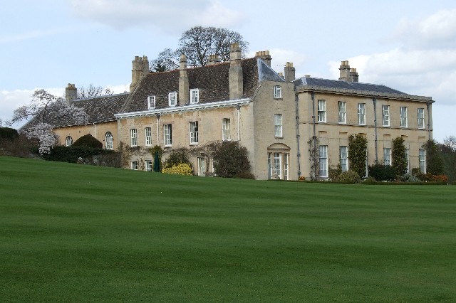
Holywell Hall, Lincolnshire
Holywell Hall is a building of historical significance in Lincolnshire and is listed on the English Heritage Register. The house is in the civil parish...
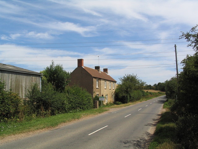
Holywell, Lincolnshire
Holywell is a tiny settlement in the civil parish of Careby Aunby and Holywell, in the South Kesteven district of Lincolnshire, England. It lies 5.5 miles...

Lincolnshire Gate
Lincolnshire Gate is the name given to a corner in the road between Holywell, Lincolnshire and Pickworth, Rutland to the south-west of Castle Bytham, in...
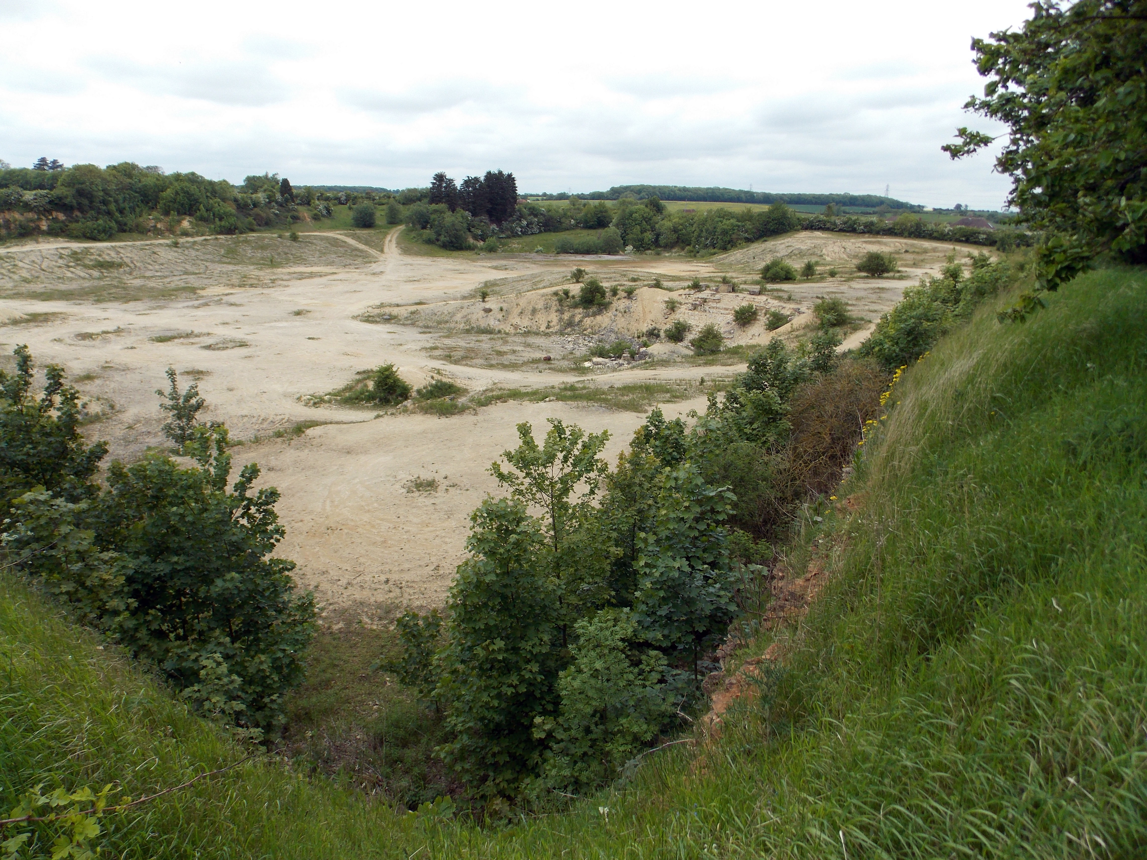
Castle Bytham Quarry
Castle Bytham quarry is a disused quarry located close to the centre of the village of Castle Bytham, Lincolnshire, England. It is famous for the exposure...

Careby Aunby and Holywell
Careby Aunby and Holywell is a civil parish in the district of South Kesteven, south-west Lincolnshire, in England. It stretches from the county border...
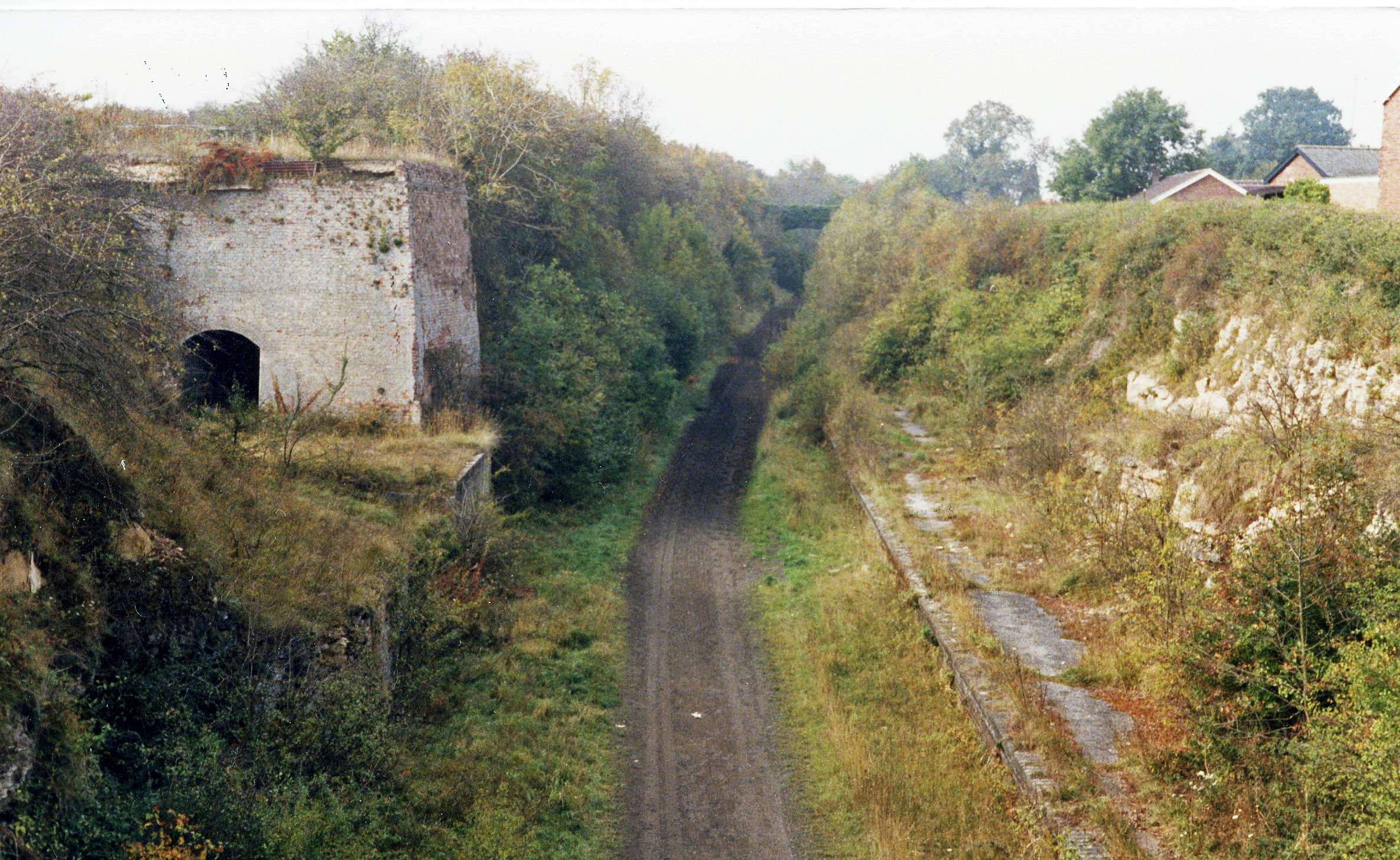
Castle Bytham railway station
Castle Bytham railway station was a station in Castle Bytham. It was Midland Railway property but train services were operated by the Midland and Great...
Newell Wood
Newell Wood is a 33.3-hectare (82-acre) biological Site of Special Scientific Interest east of Pickworth in Rutland, adjacent to Lincolnshire Gate. This...
Little Bytham
Little Bytham is a village and civil parish in the South Kesteven district of Lincolnshire, England. The population of the civil parish at the 2011 census...
Nearby Amenities
Located within 500m of 52.736194,-0.52109322Have you been to Butcher's Close Holt?
Leave your review of Butcher's Close Holt below (or comments, questions and feedback).