Canada Copse
Wood, Forest in Surrey Runnymede
England
Canada Copse

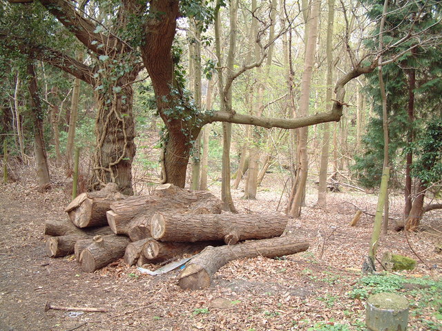
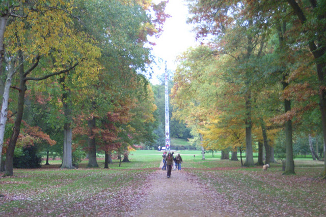
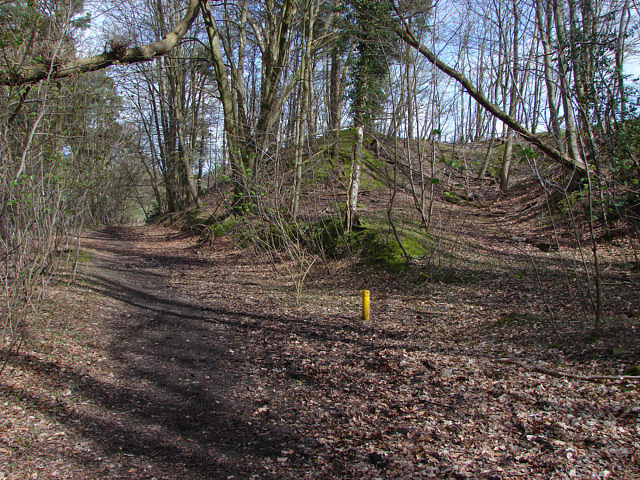
Canada Copse is a picturesque woodland located in Surrey, England. Situated near the village of Wood Street, this tranquil forest is a popular destination for nature enthusiasts and walkers alike. Covering an area of approximately 100 acres, Canada Copse is known for its diverse range of trees, flora, and fauna.
The woodland is predominantly composed of broadleaf trees, including oak, beech, and birch. These towering trees provide a dense canopy, creating a shaded and cool environment even on hot summer days. The forest floor is covered in a thick carpet of moss, ferns, and wildflowers, adding to the enchanting atmosphere.
Wildlife thrives in Canada Copse, with an abundance of bird species, including woodpeckers, owls, and warblers, making it an ideal spot for birdwatching. The woodland is also home to small mammals like squirrels, rabbits, and foxes. Visitors may also catch a glimpse of roe deer or muntjac deer grazing in the meadows surrounding the forest.
The copse is crisscrossed by a network of well-maintained footpaths, allowing visitors to explore the woodland at their leisure. These trails wind through the trees, offering glimpses of sun-dappled clearings and babbling brooks. There are also picnic areas and benches strategically placed throughout the forest, providing the perfect spot to rest and soak in the serene surroundings.
Overall, Canada Copse in Surrey is a captivating woodland that offers a peaceful escape from the hustle and bustle of daily life. With its stunning natural beauty and abundant wildlife, it is a haven for those seeking solace in nature.
If you have any feedback on the listing, please let us know in the comments section below.
Canada Copse Images
Images are sourced within 2km of 51.424513/-0.5642228 or Grid Reference SU9970. Thanks to Geograph Open Source API. All images are credited.


Canada Copse is located at Grid Ref: SU9970 (Lat: 51.424513, Lng: -0.5642228)
Administrative County: Surrey
District: Runnymede
Police Authority: Surrey
What 3 Words
///trials.logo.laws. Near Egham, Surrey
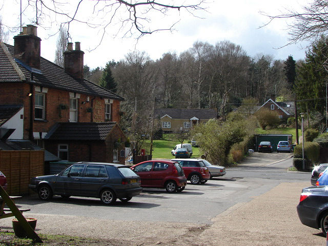
Nearby Locations
Related Wikis
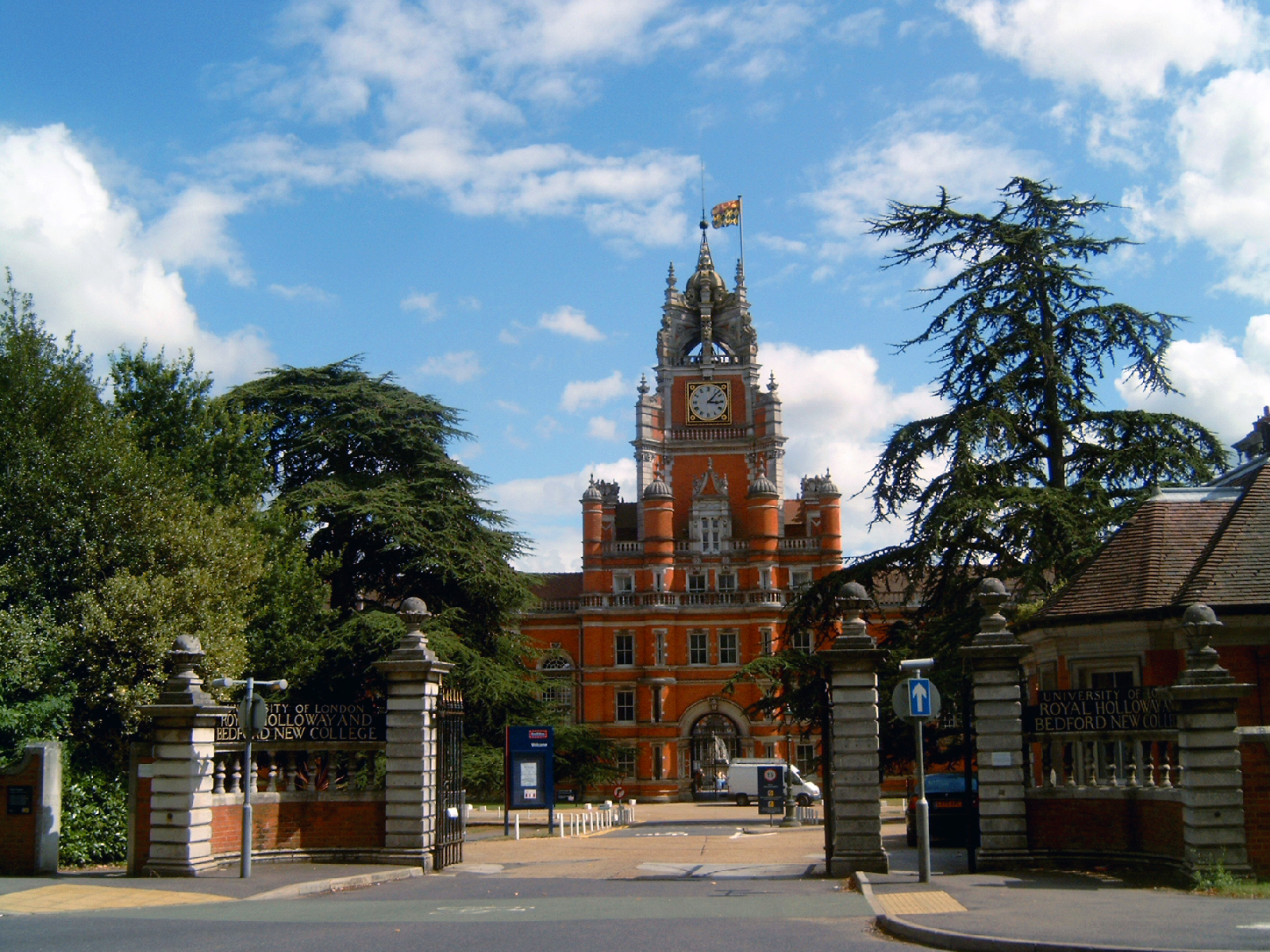
Founder's Building
The Founder's Building is the original building of Royal Holloway College, University of London (RHUL), in Egham, Surrey, England. It is an example of...

Royal Holloway, University of London
Royal Holloway, University of London (RHUL), formally incorporated as Royal Holloway and Bedford New College, is a public research university and a member...

Church of Our Lady of the Assumption, Englefield Green
The Church of Our Lady of the Assumption is a Roman Catholic church in Englefield Green, Surrey. It is situated on St Cuthbert's Close and faces Harvest...
Englefield Green
Englefield Green is a large village in the Borough of Runnymede, Surrey, England, approximately 20 miles (32 km) west of central London. It is home to...

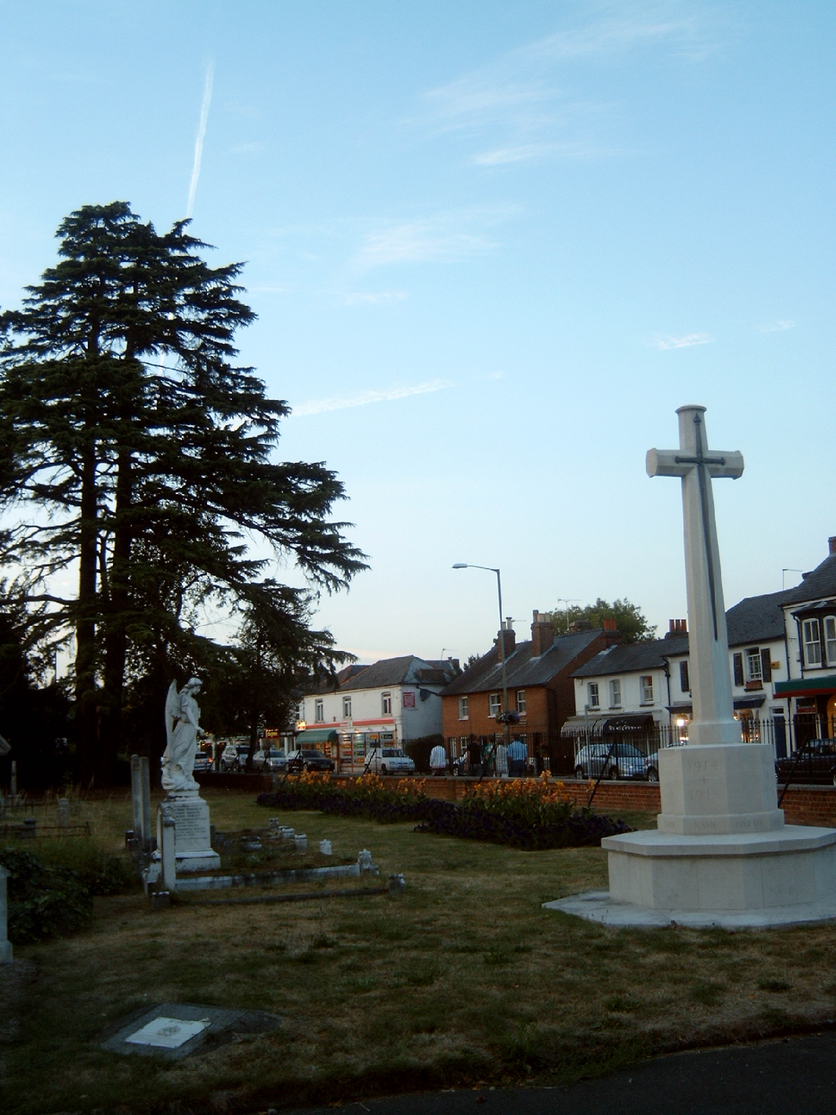
Egham
Egham ( EG-əm) is a town in the Borough of Runnymede in Surrey, England, approximately 19 miles (31 km) west of central London. First settled in the Bronze...
Englefield Green Rovers F.C.
Englefield Green Rovers F.C. was a football club based in Englefield Green, near Egham, England. They were members of the Surrey FA. == History == Englefield...

Egham railway station
Egham railway station serves the town of Egham in Surrey, England. The station is owned by Network Rail and managed by South Western Railway, which also...
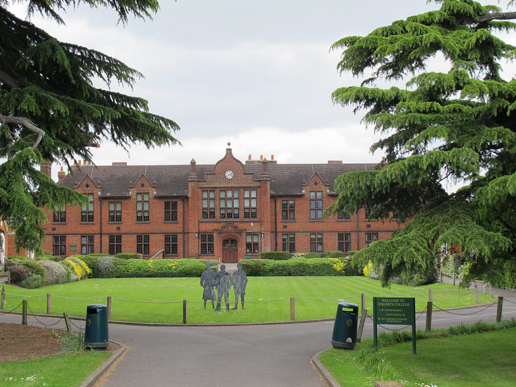
Strode's College
Strode's College is a sixth form college located in Egham, Surrey. It was founded in 1704, when Henry Strode bequeathed £6,000 to set up a free school...
Nearby Amenities
Located within 500m of 51.424513,-0.5642228Have you been to Canada Copse?
Leave your review of Canada Copse below (or comments, questions and feedback).