Bog Wood
Wood, Forest in Surrey Runnymede
England
Bog Wood
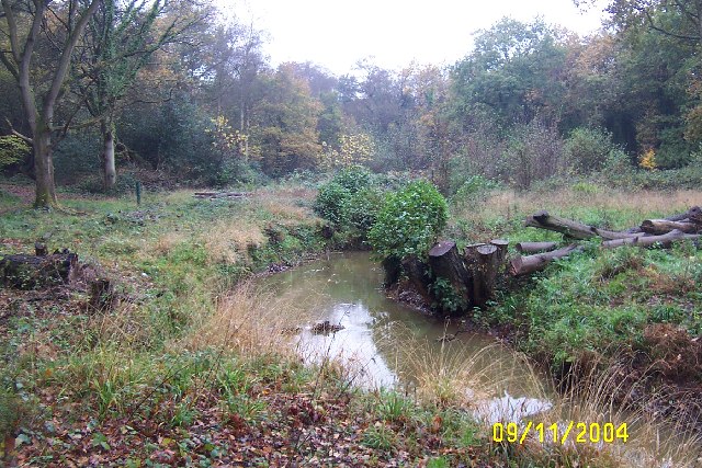
Bog Wood is a picturesque woodland located in the county of Surrey, England. Nestled within the larger Surrey Hills Area of Outstanding Natural Beauty, it is a popular destination for nature enthusiasts and those seeking tranquility amidst the beauty of the natural world.
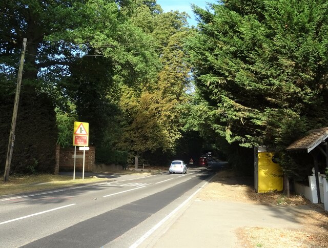
Covering an area of approximately 100 acres, Bog Wood is characterized by its dense and diverse vegetation, including a variety of trees such as oak, birch, and beech. The forest floor is blanketed with a rich carpet of ferns, mosses, and wildflowers, creating a vibrant and enchanting atmosphere. The wood is known for its ancient boggy areas, which provide a unique habitat for a range of plant and animal species.
Visitors to Bog Wood can explore its well-maintained network of walking trails, which wind through the woodland, offering glimpses of its abundant wildlife. The area is home to a wide array of bird species, including owls, woodpeckers, and various songbirds. Nature lovers may also spot small mammals such as squirrels and hedgehogs, as well as reptiles like adders and slow worms.
Bog Wood offers a peaceful retreat from the hustle and bustle of everyday life, providing opportunities for hiking, birdwatching, and wildlife photography. The wood is accessible year-round and is particularly stunning during the autumn months when the trees display a breathtaking array of colors. Whether seeking solitude or an outdoor adventure, Bog Wood is a natural gem that captivates visitors with its beauty and biodiversity.
If you have any feedback on the listing, please let us know in the comments section below.
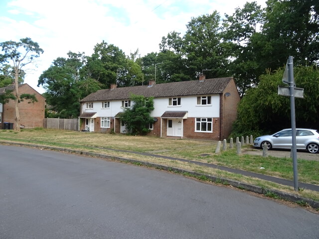
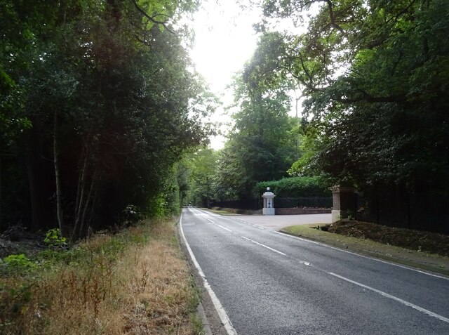
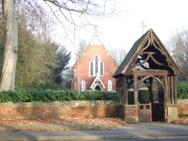
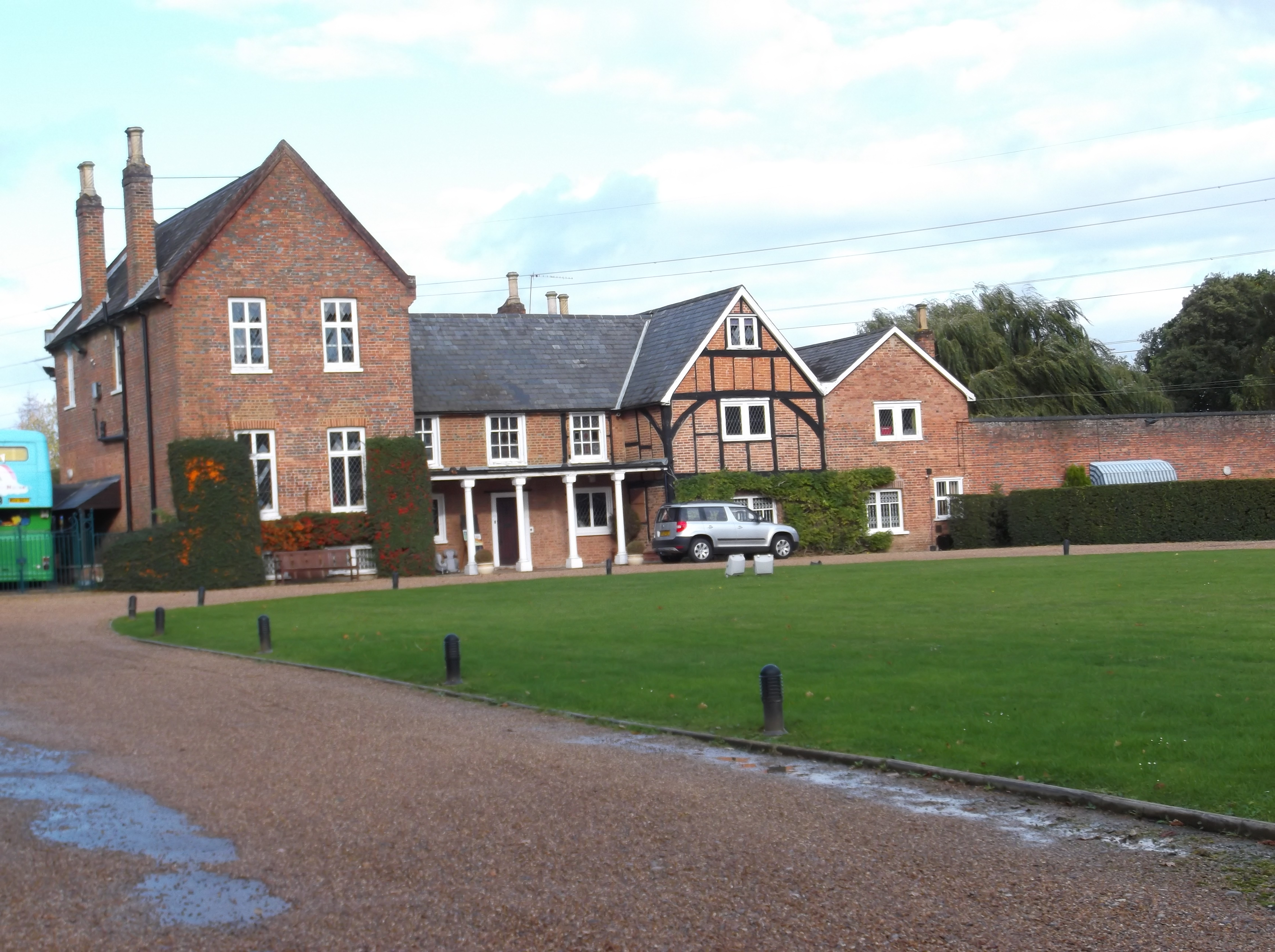
Bog Wood Images
Images are sourced within 2km of 51.384396/-0.56691558 or Grid Reference SU9966. Thanks to Geograph Open Source API. All images are credited.

Bog Wood is located at Grid Ref: SU9966 (Lat: 51.384396, Lng: -0.56691558)
Administrative County: Surrey
District: Runnymede
Police Authority: Surrey
What 3 Words
///album.regime.noisy. Near Virginia Water, Surrey
Nearby Locations
Related Wikis

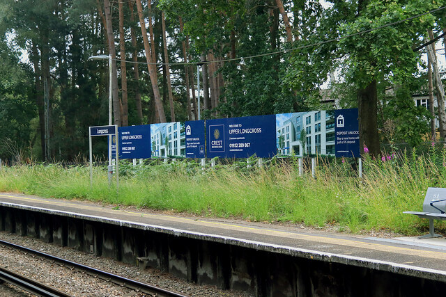
Longcross
Longcross is a village in the Borough of Runnymede in Surrey, England, approximately 34.6 kilometres (21.5 mi) west of central London. Its name is thought...
Foxhills Golf Club
Foxhills is a golf club and resort located in Ottershaw, Surrey, United Kingdom. It was established in 1975 and named for Charles James Fox on whose former...
Lyne, Surrey
Lyne is a village in the Borough of Runnymede in Surrey, England, approximately 32 km (20 mi) southwest of central London. In the early 13th century, the...

Riverside Walk, Virginia Water
Riverside Walk is a 21.2-hectare (52-acre) local nature reserve in Virginia Water, Surrey. It is owned by Runnymede Borough Council and managed by The...
Military Vehicles and Engineering Establishment
The Military Vehicles and Engineering Establishment (MVEE) was a British defence research unit on Chobham Lane, Chertsey in Surrey. It was responsible...
Longcross Studios
Longcross Film Studios is a film and television production facility in Longcross, Surrey, approximately 25 miles (40 km) west of central London. Built...

Wentworth Estate
The Wentworth Estate is a private estate of large houses set in about 7 square kilometres (2.7 sq mi) woodland, in Runnymede, Surrey. It was commenced...

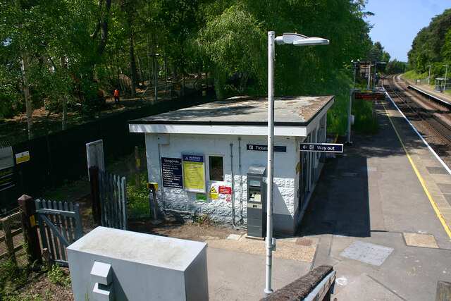
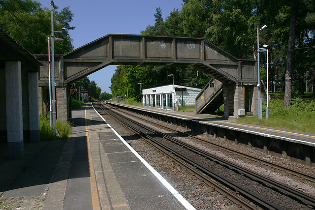
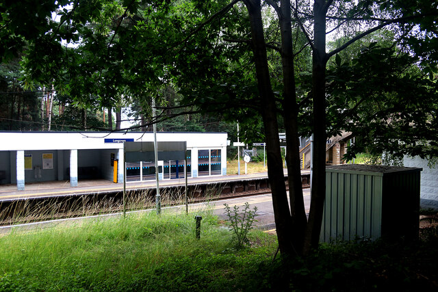
Longcross railway station
Longcross railway station is next to Longcross Garden Village (Upper Longcross) in Surrey, England. It straddles the former parishes of Virginia Water...
Related Videos

A Solo Hiking Adventure: Virginia Waters & Obelisk Park
Join me as I walk the 11km Virginia Waters & Obelisk Park Circular in Surrey It is generally considered an easy route which takes ...


Runnymede gardens | #london #uk #travelvlog #youtube #seniorjournalist #ranarizwanarshad
runnymede #london #england #unitedkingdom #travel #vlog #travelvlog #youtube #garden #seniorjournalist #ranarizwanarshad ...
Runnymede gardens #london #uk #travelvlog #youtube #seniorjournalist #ranarizwanarshad
runnymede #london #england #unitedkingdom #travel #vlog #travelvlog #youtube #garden #seniorjournalist #ranarizwanarshad ...
Nearby Amenities
Located within 500m of 51.384396,-0.56691558Have you been to Bog Wood?
Leave your review of Bog Wood below (or comments, questions and feedback).