Oldham Copse
Wood, Forest in Sussex Chichester
England
Oldham Copse
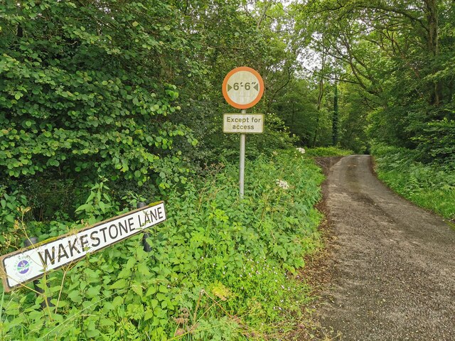
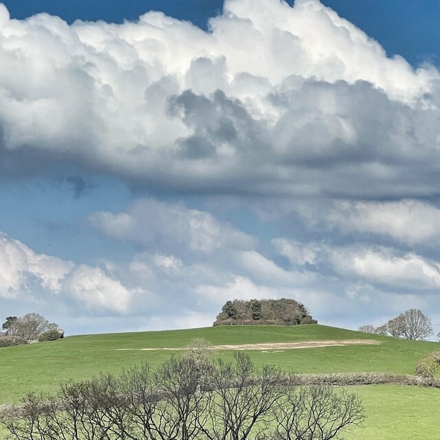
Oldham Copse is a charming woodland located in Sussex, England. Covering an area of approximately 50 acres, this ancient copse is a haven for nature enthusiasts and a popular destination for walking and hiking.
The copse is primarily made up of deciduous trees such as oak, beech, and birch, which provide a stunning display of colors throughout the seasons. In spring, the woodland floor is carpeted with vibrant bluebells, creating a picturesque scene. Wildlife is abundant in Oldham Copse, with a variety of birds, small mammals, and insects calling the woodland home.
The woodland is well-preserved and maintained, with clearly marked trails and footpaths for visitors to explore. The main trail runs through the heart of the copse, offering stunning views of the surrounding landscape. There are also several smaller paths that branch off from the main trail, allowing visitors to discover hidden corners and secluded spots.
Oldham Copse is not only a place of natural beauty but also holds historical significance. It is believed that the copse has been in existence for centuries, dating back to medieval times. It has witnessed various changes in the landscape and has remained a constant presence in the local community.
Visitors to Oldham Copse can enjoy a peaceful and tranquil atmosphere, immersing themselves in the beauty of nature. Whether it's a leisurely stroll, a picnic in a serene clearing, or birdwatching from one of the designated viewpoints, Oldham Copse offers a delightful escape from the hustle and bustle of everyday life.
If you have any feedback on the listing, please let us know in the comments section below.
Oldham Copse Images
Images are sourced within 2km of 50.996663/-0.57934749 or Grid Reference SU9922. Thanks to Geograph Open Source API. All images are credited.


Oldham Copse is located at Grid Ref: SU9922 (Lat: 50.996663, Lng: -0.57934749)
Administrative County: West Sussex
District: Chichester
Police Authority: Sussex
What 3 Words
///meatball.waitress.yard. Near Petworth, West Sussex
Nearby Locations
Related Wikis

Bognor Common Quarry
Bognor Common Quarry is a 25.1-hectare (62-acre) geological Site of Special Scientific Interest east of Petworth in West Sussex. It is a Geological Conservation...

Sacred Heart Church, Petworth
Sacred Heart Church is a Roman Catholic Parish church in Petworth, West Sussex, England. It was built in 1896 and designed by Frederick Walters. It is...
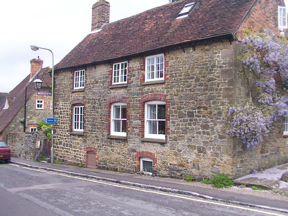
Petworth Cottage Museum
Petworth Cottage Museum, at 346 High Street, Petworth, West Sussex is a Leconfield Estate worker's cottage. It has been restored and furnished as it might...
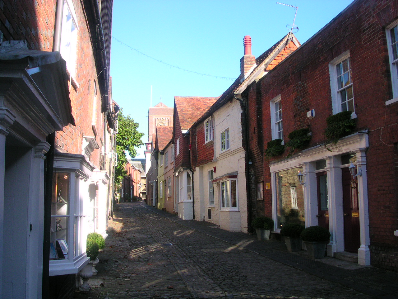
Petworth
Petworth is a town and civil parish in the Chichester District of West Sussex, England. It is located at the junction of the A272 east–west road from Heathfield...
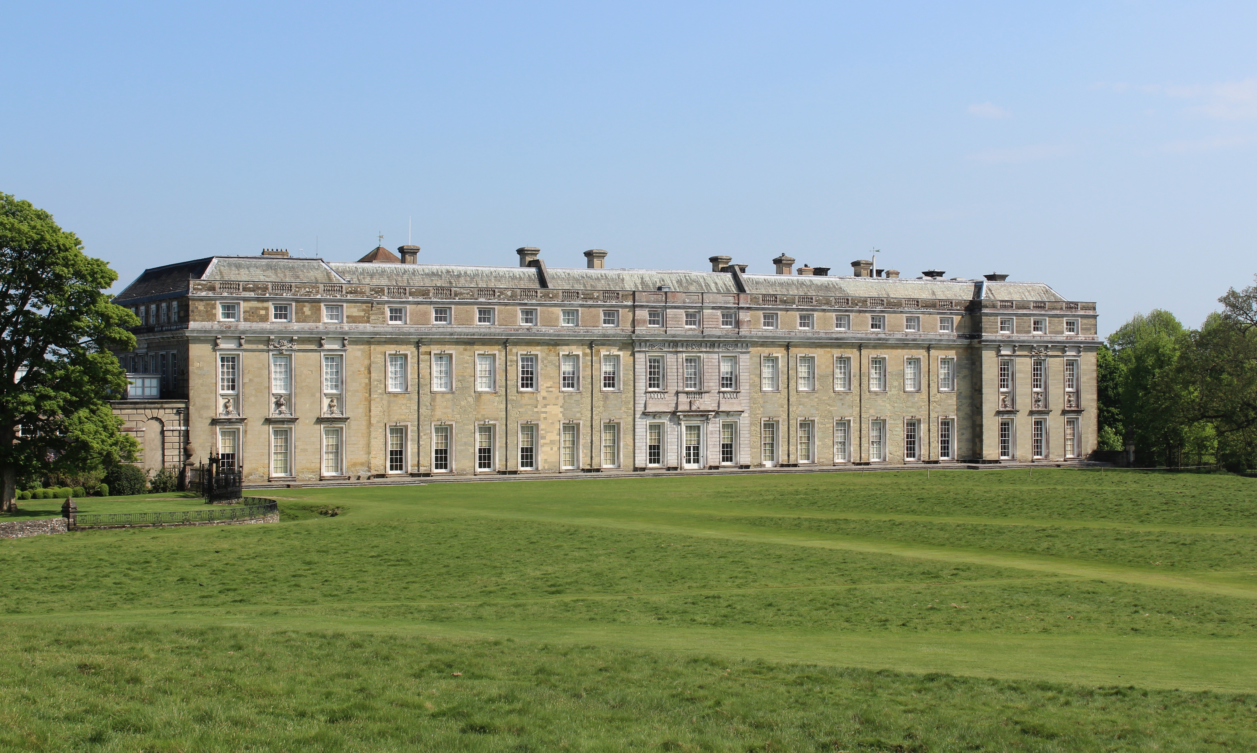
Petworth House
Petworth House in the parish of Petworth, West Sussex, England, is a late 17th-century Grade I listed country house, rebuilt in 1688 by Charles Seymour...

Petworth Park
Petworth Park at Petworth, Sussex was used as the venue for three first-class cricket matches between 1824 and 1826. The ground was in front of the main...

Leconfield Hall
Leconfield Hall, formerly Petworth Town Hall, is a municipal building in the Market Square in Petworth, West Sussex, England. The building, which is now...

The Mens
The Mens is a 205.2-hectare (507-acre) biological Site of Special Scientific Interest west of Billingshurst in West Sussex. It is a Nature Conservation...
Nearby Amenities
Located within 500m of 50.996663,-0.57934749Have you been to Oldham Copse?
Leave your review of Oldham Copse below (or comments, questions and feedback).