Heads Copse
Wood, Forest in Surrey Waverley
England
Heads Copse

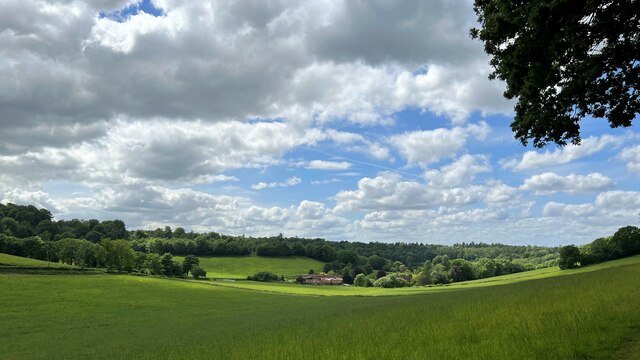
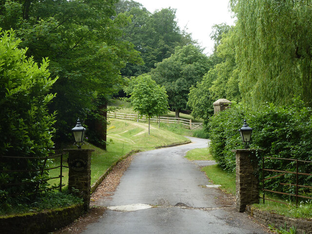
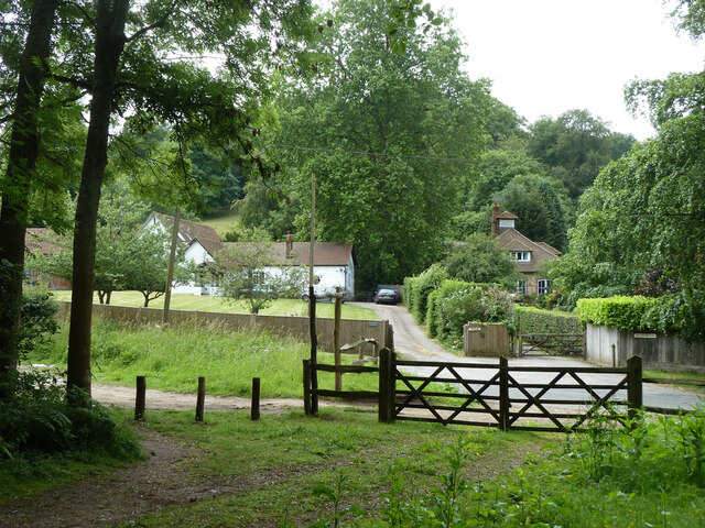
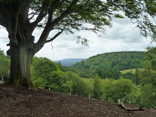
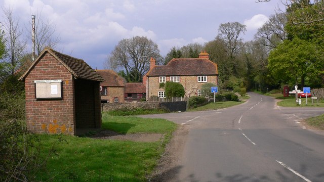
Heads Copse is a picturesque woodland located in Surrey, England. Covering an area of approximately 50 acres, it is a haven for nature enthusiasts and those seeking tranquility amidst the bustling city life. The copse is situated near the village of Cranleigh, offering easy access for visitors looking to explore its natural beauty.
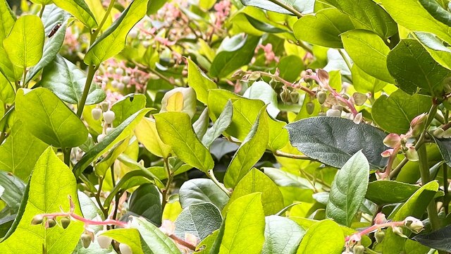
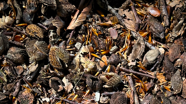
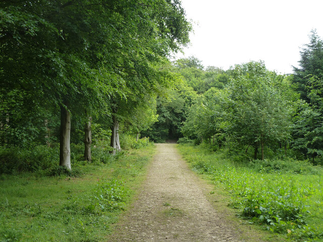
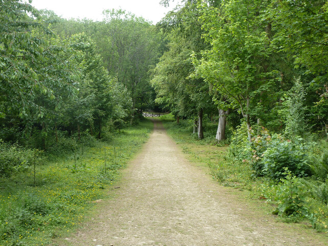
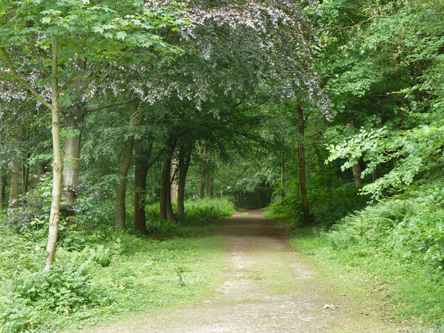
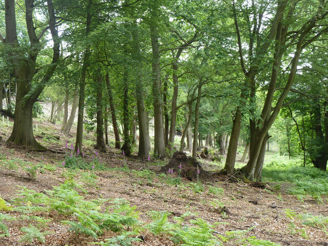
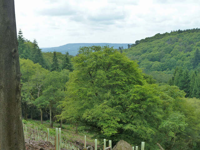
The woodland is predominantly made up of a variety of tree species, including oak, beech, and birch, which create a dense canopy overhead. This lush vegetation not only provides a habitat for numerous wildlife species but also offers a refreshing shade during hot summer months. Walking along the well-maintained trails, visitors can enjoy the peaceful atmosphere and marvel at the beauty of the surrounding flora and fauna.
Heads Copse is known for its diverse range of wildlife, attracting birdwatchers and nature photographers alike. The copse is home to various bird species, including woodpeckers, owls, and nightingales, making it a popular spot for birdwatching enthusiasts. Additionally, a variety of mammals such as foxes, badgers, and deer can also be spotted within the woodland.
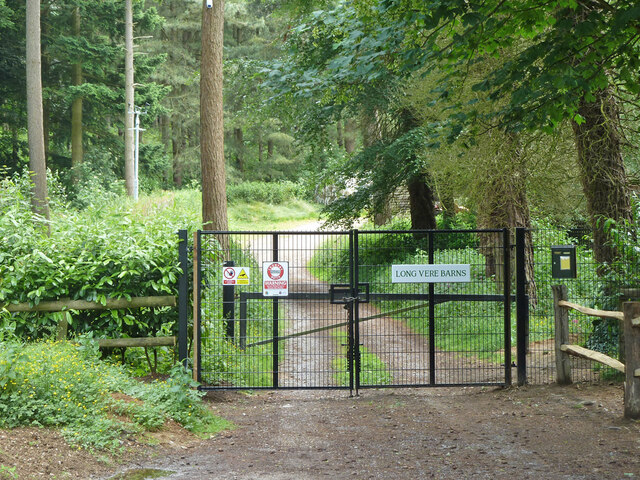
The copse is managed by the local authorities, ensuring the preservation of its natural environment. Regular maintenance work is carried out to keep the trails clear and safe for visitors. Interpretive signs and information boards provide educational insights into the flora and fauna found in the copse, making it a great destination for both leisurely walks and educational outings.
In conclusion, Heads Copse in Surrey offers a serene and captivating woodland experience, providing a haven for wildlife and a peaceful escape for visitors seeking solace in nature.
If you have any feedback on the listing, please let us know in the comments section below.
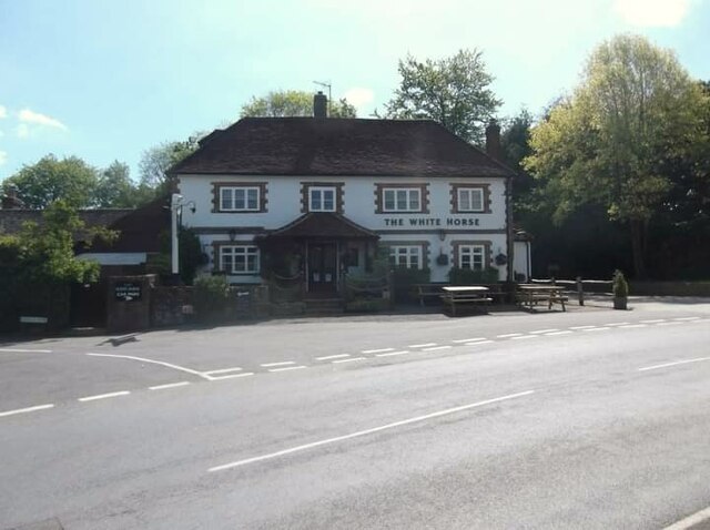
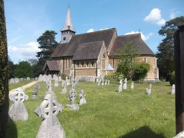
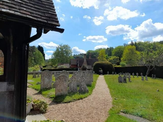
Heads Copse Images
Images are sourced within 2km of 51.151987/-0.57878731 or Grid Reference SU9940. Thanks to Geograph Open Source API. All images are credited.

Heads Copse is located at Grid Ref: SU9940 (Lat: 51.151987, Lng: -0.57878731)
Administrative County: Surrey
District: Waverley
Police Authority: Surrey
What 3 Words
///lifts.dupe.posed. Near Godalming, Surrey
Nearby Locations
Related Wikis

Hascombe Court
Hascombe Court is a 172-acre (70 ha) estate in Hascombe, Surrey, best known for its vast garden designed by Gertrude Jekyll. Hascombe Court is listed Grade...

Hascombe
Hascombe is a village and civil parish in Surrey, England. It is around 3 miles (4.8 km) southeast of Godalming in the Borough of Waverley. The settlement...

Winkworth Arboretum
Winkworth Arboretum is a National Trust-owned arboretum in the spread-out civil parish of Busbridge between Godalming and Hascombe, south-west Surrey,...

Hascombe Hill
Hascombe Hill or Hascombe Camp is the site of an Iron Age multivallate hill fort close to the village of Hascombe in Surrey, England. == History == The...

Hydon's Ball
Hydon's Ball is a 179-metre-high (587 ft) hill covering most of Hydon Heath in Hydestile, Surrey, England. == Description == The hill on Hydon Heath, Hydestile...
Hydestile
Hydestile is a hamlet in Waverley, south-west Surrey. It is around 2+1⁄2 miles (4.0 km) south of Godalming between the villages of Busbridge and Hambledon...

Munstead Wood
Munstead Wood is a Grade I listed house and garden in Munstead Heath, Busbridge on the boundary of the town of Godalming in Surrey, England, 1 mile (1...

Busbridge
Busbridge is a village and civil parish in the borough of Waverley in Surrey, England that adjoins the town of Godalming. It forms part of the Waverley...
Nearby Amenities
Located within 500m of 51.151987,-0.57878731Have you been to Heads Copse?
Leave your review of Heads Copse below (or comments, questions and feedback).