Ashpark Wood

Wood, Forest in Sussex Chichester

England

Ashpark Wood

Woodland track going southwards from the Sussex Border Path(2)
Woodland track going southwards from the Sussex Border Path(2) Credit: Shazz

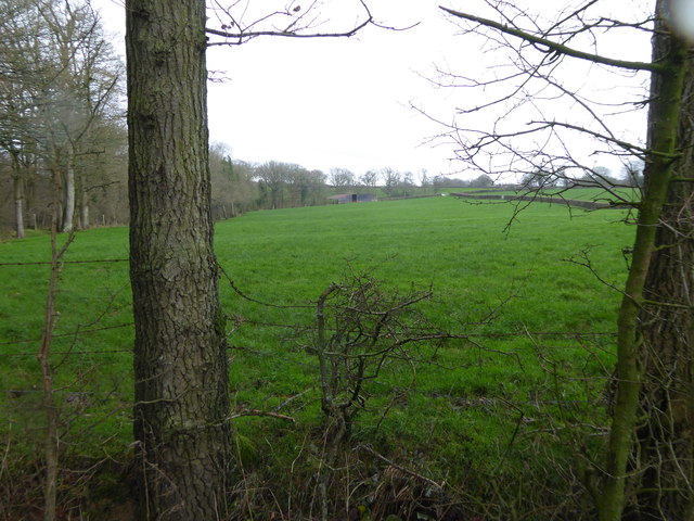
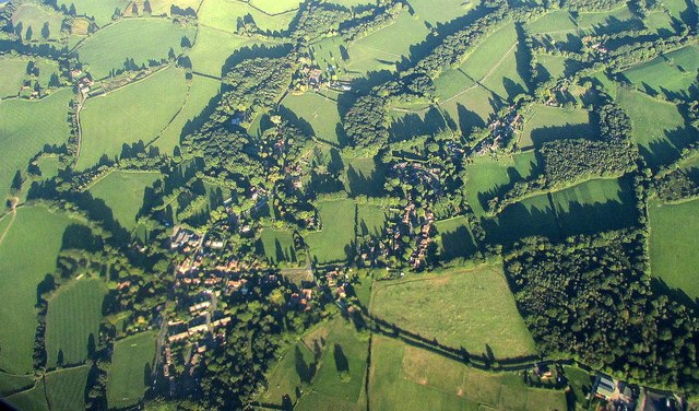
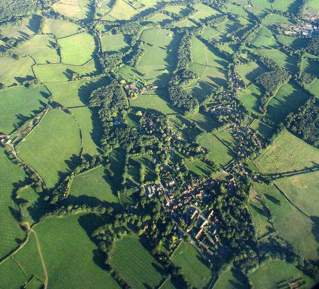
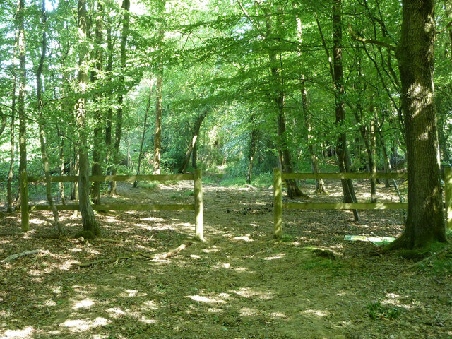
Ashpark Wood is a picturesque woodland located in the county of Sussex, England. It is situated in the south-eastern part of the county, near the village of Ashpark. Covering an area of approximately 50 hectares, this ancient woodland is a haven for nature lovers and outdoor enthusiasts.

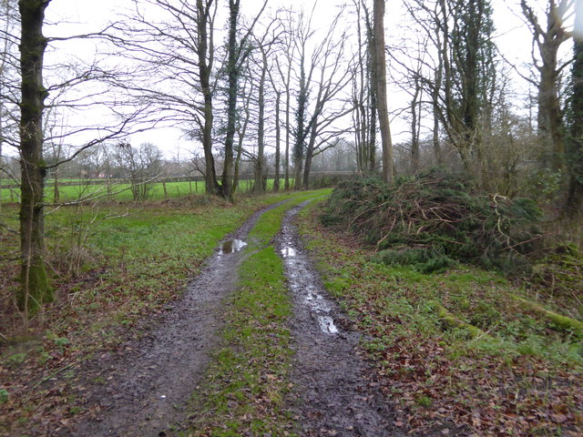
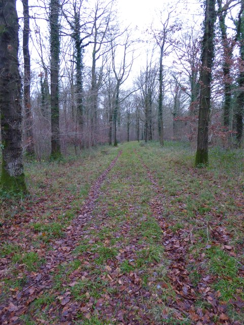
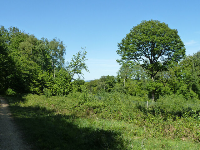
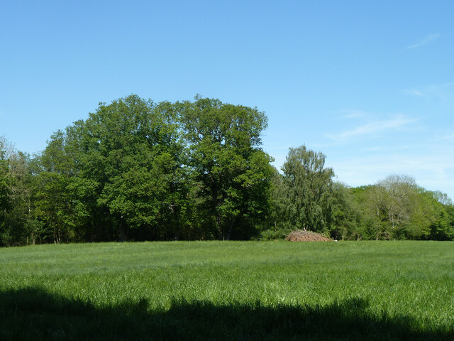
The wood is predominantly made up of a diverse range of tree species, including oak, beech, and birch. The dense canopy provided by these trees creates a cool and shaded environment, even on hot summer days. This woodland is also home to a rich variety of plant life, with bluebells, primroses, and wild garlic carpeting the forest floor during the spring months.

Ashpark Wood is not just a haven for flora; it is also a sanctuary for a plethora of wildlife. The dense undergrowth and abundance of food sources attract a wide range of bird species, such as woodpeckers, nuthatches, and tawny owls. Mammals such as deer, foxes, and badgers can also be spotted within the woodland, making it an ideal location for wildlife enthusiasts and photographers.

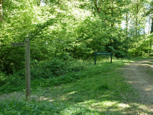
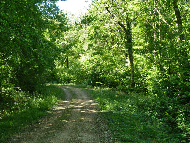
The wood is crisscrossed with a network of well-maintained footpaths and trails, allowing visitors to explore its natural beauty. Whether it be a leisurely stroll or a more challenging hike, there is something for everyone at Ashpark Wood. Additionally, the wood has several designated picnic areas, where visitors can relax and enjoy the tranquility of the surroundings.

Overall, Ashpark Wood offers a serene escape from the hustle and bustle of everyday life. Its natural beauty, diverse wildlife, and well-maintained trails make it a must-visit destination for anyone seeking to immerse themselves in the wonders of nature.

If you have any feedback on the listing, please let us know in the comments section below.
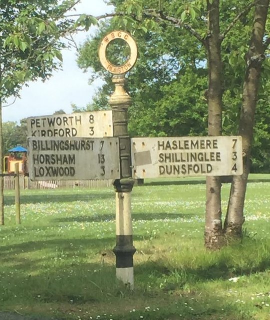
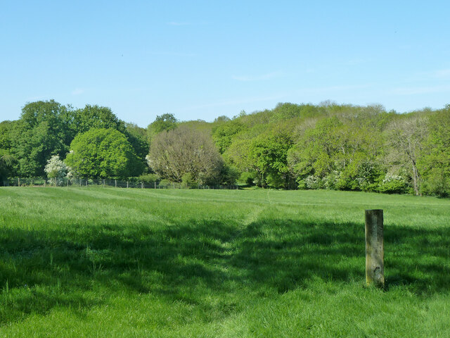
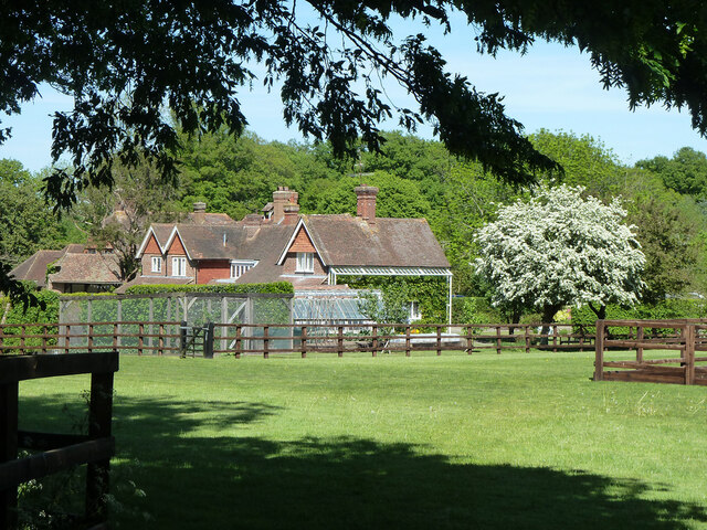
Ashpark Wood Images

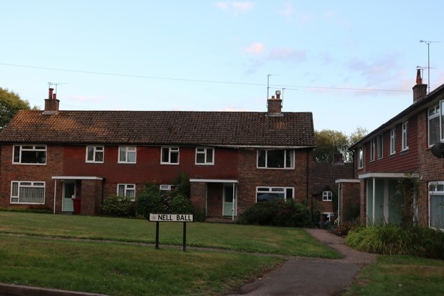
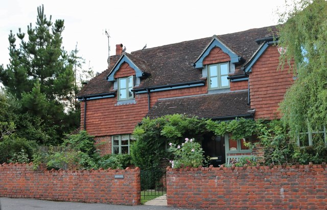
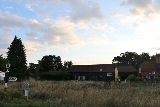
Images are sourced within 2km of 51.077303/-0.58169032 or Grid Reference SU9931. Thanks to Geograph Open Source API. All images are credited.

Woodland track going southwards from the Sussex Border Path(2)
View across field to large barn On the left is the western edge of Weald Barkfold Copse.
View across field to large barn
On the left is the western edge of Weald Barkfold Copse.
Woodland track going south from the Sussex Border Path (1)
Plaistow from the air Partly also shown in <a href="https://www.geograph.org.uk/photo/5151464">TQ0030 : Southeast of Plaistow from the air</a>; Rumbold Wood and Rumbold's Farm are at lower right, along a byway from the village. See also <a href="https://www.geograph.org.uk/photo/5151473">TQ0030 : Plaistow from the air</a>.
Plaistow from the air
Partly also shown in TQ0030 : Southeast of Plaistow from the air; Rumbold Wood and Rumbold's Farm are at lower right, along a byway from the village. See also TQ0030 : Plaistow from the air.
Plaistow from the air <a href="https://www.geograph.org.uk/photo/5151470">TQ0030 : Plaistow from the air</a> from a different angle, as the aircraft I am on, from Luxembourg, takes a sharp turn towards Gatwick over the village.
Plaistow from the air
TQ0030 : Plaistow from the air from a different angle, as the aircraft I am on, from Luxembourg, takes a sharp turn towards Gatwick over the village.
Nell Ball, Plaistow
Nell Ball, Plaistow
Cottage on The Street, Plaistow
Todhurst Meadow, Plaistow
Old Direction Sign - Signpost at the east corner of the common in Plaistow Annulus finial - 3 arms; WSCC parish halo by the UC road, in parish of Plaistow (Chichester District), on the south side of Loxwood Road on the east corner of the common.

to be surveyed

Milestone Society National ID: SX_TQ0030C
Old Direction Sign - Signpost at the east corner of the common in Plaistow
Annulus finial - 3 arms; WSCC parish halo by the UC road, in parish of Plaistow (Chichester District), on the south side of Loxwood Road on the east corner of the common. to be surveyed Milestone Society National ID: SX_TQ0030C
Footpath towards Burningfold Manor
Garden Cottage, Upper Ifold Upper Ifold House is largely hidden beyond.
Garden Cottage, Upper Ifold
Upper Ifold House is largely hidden beyond.
Bridleway leaving Forestry Commission woodland Leaving the Hogwood complex towards Upper Ifold.
Bridleway leaving Forestry Commission woodland
Leaving the Hogwood complex towards Upper Ifold.
Woodland path junction In the Hogwood Forestry Commission complex. The public bridleway goes left, but riding is by permit only round to the right.
Woodland path junction
In the Hogwood Forestry Commission complex. The public bridleway goes left, but riding is by permit only round to the right.
Woodland track In the Hogwood Forestry Commission complex.
Woodland track
In the Hogwood Forestry Commission complex.
Small clearing, Upper Ifold Wood In the Hogwood Forestry Commission complex. Part of this clearing is enclosed in a close mesh fence, presumably to keep browsing animals out.
Small clearing, Upper Ifold Wood
In the Hogwood Forestry Commission complex. Part of this clearing is enclosed in a close mesh fence, presumably to keep browsing animals out.
Woodland track Upper Ifold Wood, in the Hogwood Forestry Commission complex, is to the left.
Woodland track
Upper Ifold Wood, in the Hogwood Forestry Commission complex, is to the left.
Field east of Upper Ifold Wood
Woodland track In the Hogwood Forestry Commission complex.
Woodland track
In the Hogwood Forestry Commission complex.
Show me another place!

Ashpark Wood is located at Grid Ref: SU9931 (Lat: 51.077303, Lng: -0.58169032)

Administrative County: West Sussex

District: Chichester

Police Authority: Sussex

What 3 Words

///scored.hairpin.trial. Near Chiddingfold, Surrey

Nearby Locations

Ashpark Wood

Related Wikis

Chiddingfold Forest

Chiddingfold Forest is a 542.5-hectare (1,341-acre) biological Site of Special Scientific Interest in Chiddingfold in Surrey and West Sussex. One part...

Plaistow, West Sussex

Plaistow ( PLAST-oh) is a village and civil parish in the north of the Chichester District of West Sussex, England. There is a village green, a recreation...

The Farm (recording studio)

The Farm (also known as Fisher Lane Farm) was a recording studio in Chiddingfold, Surrey owned by the rock band Genesis. The group bought the property...

Shillinglee

Shillinglee is an 18th-century house and estate in West Sussex, England near the Surrey border, in between the villages of Chiddingfold and Plaistow. It...

Shillinglee Lake

Shillinglee Lake is a 17-hectare (42-acre) biological Site of Special Scientific Interest west of Plaistow in West Sussex.The lake has been designated...

Ifold

Ifold is a hamlet in West Sussex and part of the civil Parish of Plaistow, of which it is the largest settlement. Ifold is classified as a hamlet, because...

Pickhurst

Pickhurst is a grade II* listed house set in 130 acres (53 ha) of land near Chiddingfold, Surrey, England. == History == It was designed by the Scottish...

Fir Tree Copse

Fir Tree Copse is a 6-hectare (15-acre) nature reserve south-east of Dunsfold in Surrey. It is managed by the Surrey Wildlife Trust and is part of the...

Nearby Amenities

Located within 500m of 51.077303,-0.58169032
Bus Stop
Shillinglee Road
Naptan AtcoCode: 4400HR0905
Naptan Bearing: SE
Naptan BusStopType: CUS
Naptan CommonName: Shillinglee Road
Naptan Indicator: HAR
Naptan Landmark: Hail & Ride
Naptan NaptanCode: wsxgagwt
Naptan Street: Shillinglee Road
Naptan Verified: no
Source: naptan_import
Lat/Long: 51.073859/-0.5829056
Bus Stop
Shillinglee Road
Naptan AtcoCode: 4400HR0906
Naptan Bearing: NW
Naptan BusStopType: CUS
Naptan CommonName: Shillinglee Road
Naptan Indicator: HAR
Naptan Landmark: Hail & Ride
Naptan NaptanCode: wsxgajad
Naptan Street: Shillinglee Road
Naptan Verified: no
Source: naptan_import
Lat/Long: 51.0737784/-0.5829366
The data included in this document is from www.openstreetmap.org. The data is made available under ODbL.

Have you been to Ashpark Wood?

Leave your review of Ashpark Wood below (or comments, questions and feedback).