Reeve's Plantation

Wood, Forest in Lincolnshire North Kesteven

England

Reeve's Plantation

Autumn sown crop near Brauncewell
Autumn sown crop near Brauncewell Credit: Jonathan Thacker

Reeve's Plantation is a woodland area located in Lincolnshire, England. Covering approximately 10 acres, the plantation is characterized by a mix of deciduous and coniferous trees, creating a diverse and lush forest environment. The woodland is named after the Reeve family, who were the original owners of the land.

Reeve's Plantation is a popular destination for nature enthusiasts, hikers, and birdwatchers due to its scenic beauty and abundant wildlife. Visitors can explore the winding pathways that meander through the forest, providing opportunities to observe a variety of plant and animal species in their natural habitat.

The woodland is also home to a rich history, with remnants of old structures and artifacts scattered throughout the area. The tranquil atmosphere of Reeve's Plantation offers a peaceful retreat from the hustle and bustle of everyday life, making it a perfect spot for relaxation and contemplation.

Overall, Reeve's Plantation is a hidden gem in Lincolnshire, offering a tranquil escape into nature for those looking to immerse themselves in the beauty of the English countryside.

If you have any feedback on the listing, please let us know in the comments section below.

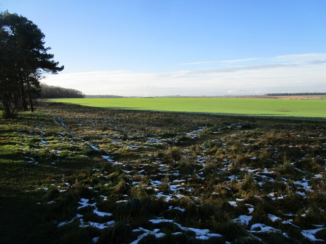
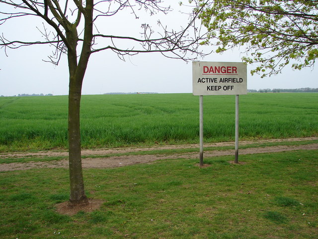
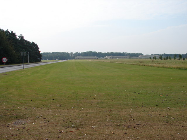
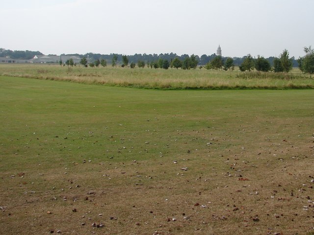
Reeve's Plantation Images

Images are sourced within 2km of 53.040199/-0.51918287 or Grid Reference SK9950. Thanks to Geograph Open Source API. All images are credited.

Autumn sown crop near Brauncewell
Sugar beet loading area Waiting for the call to the Newark sugar factory.
Sugar beet loading area
Waiting for the call to the Newark sugar factory.
Snow by the path under the trees Snow fell on 4th December and most quickly disappeared but some still lingers here 48 hours after it fell.
Snow by the path under the trees
Snow fell on 4th December and most quickly disappeared but some still lingers here 48 hours after it fell.
Autumn sown crop Lord Bristol's Plantation on the left. A little snow lingering from two days ago.
Autumn sown crop
Lord Bristol's Plantation on the left. A little snow lingering from two days ago.
Bridleway to Cranwell This surfaced bridleway leads to RAF Cranwell which is just beyond the trees on the horizon.
Bridleway to Cranwell
This surfaced bridleway leads to RAF Cranwell which is just beyond the trees on the horizon.
Airfield to North of Main RAF Cranwell Air Base Generally used for Gliders now.  Once used as base for Sea Scout Airships.
Airfield to North of Main RAF Cranwell Air Base
Generally used for Gliders now. Once used as base for Sea Scout Airships.
View from Plantation Road Playing fields and golf course leading towards buildings at RAF Cranwell.
The road to the left is 'Lighter than Air Road'.
View from Plantation Road
Playing fields and golf course leading towards buildings at RAF Cranwell. The road to the left is 'Lighter than Air Road'.
View from Lighter Than Air Road This vast area is an airstrip used mainly by gliders rather than airships, which once were based here at RAF Cranwell, hence the name of the road.
View from Lighter Than Air Road
This vast area is an airstrip used mainly by gliders rather than airships, which once were based here at RAF Cranwell, hence the name of the road.
Looking from Plantation Road Towards RAF Cranwell College The College tower features a lighthouse which is visible from miles around.
Looking from Plantation Road Towards RAF Cranwell College
The College tower features a lighthouse which is visible from miles around.
Trees Alongside Bristol House Road Fine group of trees adjoining the road around the houses at RAF Cranwell.
Trees Alongside Bristol House Road
Fine group of trees adjoining the road around the houses at RAF Cranwell.
Texaco Water Tank Nice to see recycling at work in all sorts of ways.
Texaco Water Tank
Nice to see recycling at work in all sorts of ways.
Ermine Street [High Dike] heading south from Long Lane This part of the Roman road between London, Lincoln and York is now the route of the Viking Way footpath. A civil parish boundary runs along Ermine Street here.
Ermine Street [High Dike] heading south from Long Lane
This part of the Roman road between London, Lincoln and York is now the route of the Viking Way footpath. A civil parish boundary runs along Ermine Street here.
Ermine Street [High Dike] heading north from Long Lane This part of the Roman road between London, Lincoln and York is now the route of the Viking Way footpath. A civil parish boundary runs along Ermine Street here.
Ermine Street [High Dike] heading north from Long Lane
This part of the Roman road between London, Lincoln and York is now the route of the Viking Way footpath. A civil parish boundary runs along Ermine Street here.
Entrance to work compound, south side of Long Lane One of several secure bases created for Anglian Water's construction of a new water pipeline between Lincoln and Grantham.
Entrance to work compound, south side of Long Lane
One of several secure bases created for Anglian Water's construction of a new water pipeline between Lincoln and Grantham.
Entrance to work compound, north side of Long Lane With the location given as both a postcode and a what3words reference. One of several secure bases created for Anglian Water's construction of a new water pipeline between Lincoln and Grantham.
Entrance to work compound, north side of Long Lane
With the location given as both a postcode and a what3words reference. One of several secure bases created for Anglian Water's construction of a new water pipeline between Lincoln and Grantham.
Anglian Water's working corridor, north of Long Lane Anglian Water is constructing a new water pipeline between Lincoln and Grantham.
Anglian Water's working corridor, north of Long Lane
Anglian Water is constructing a new water pipeline between Lincoln and Grantham.
Pipeline infrastructure, south of Long Lane One of several secure bases created for Anglian Water's construction of a new water pipeline between Lincoln and Grantham. The blue pipes rising from the ground are possibly access valves.
Pipeline infrastructure, south of Long Lane
One of several secure bases created for Anglian Water's construction of a new water pipeline between Lincoln and Grantham. The blue pipes rising from the ground are possibly access valves.
Long Lane heading west from Stocks Heath Farm Crossing Leadenham Heath.
Long Lane heading west from Stocks Heath Farm
Crossing Leadenham Heath.
Show me another place!

Reeve's Plantation is located at Grid Ref: SK9950 (Lat: 53.040199, Lng: -0.51918287)

Administrative County: Lincolnshire

District: North Kesteven

Police Authority: Lincolnshire

What 3 Words

///drooling.detonated.abandons. Near Cranwell, Lincolnshire

Nearby Locations

Reeve's Plantation

Related Wikis

Royal Air Force College Cranwell

The Royal Air Force College (RAFC) is the Royal Air Force military academy which provides initial training to all RAF personnel who are preparing to become...
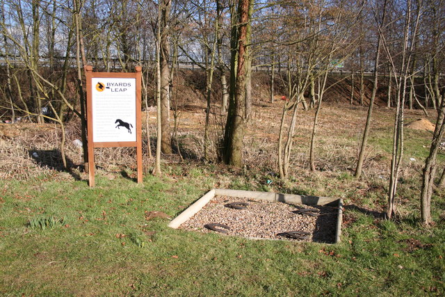
Byard's Leap

Byard's Leap is a hamlet in the North Kesteven district of Lincolnshire, England. It is situated approximately 3 miles (5 km) west from Cranwell, and is...

Sleaford and North Hykeham (UK Parliament constituency)

Sleaford and North Hykeham is a parliamentary constituency in Lincolnshire, England which elects a single Member of Parliament (MP) to the House of Commons...

Central Flying School

The Central Flying School (CFS) is the Royal Air Force's primary institution for the training of military flying instructors. Established in 1912 at the...

Have you been to Reeve's Plantation?

Leave your review of Reeve's Plantation below (or comments, questions and feedback).