Poor Jack's Wood
Wood, Forest in Surrey Woking
England
Poor Jack's Wood
Poor Jack's Wood is a picturesque forest located in Surrey, England. Covering an area of approximately 50 acres, it is known for its serene and untouched beauty. The wood is named after a local legend of a poor man named Jack who used to seek solace in the tranquility of the forest.
The wood is predominantly composed of native deciduous trees such as oak, beech, and birch, which provide a dense canopy and create a cool and shady atmosphere. The forest floor is covered in a thick layer of leaf litter, providing a habitat for a variety of woodland flora and fauna.
The wood is crisscrossed with numerous walking trails and footpaths, making it a popular destination for nature enthusiasts and hikers. The trails wind through the forest, leading visitors to hidden ponds, babbling brooks, and ancient trees with gnarled trunks. The forest is also home to a diverse range of wildlife, including deer, foxes, badgers, and a variety of bird species.
Despite its popularity, Poor Jack's Wood retains its natural charm and remains relatively untouched by human activity. The wood is managed by a local conservation organization, ensuring its preservation and protection for future generations to enjoy.
Overall, Poor Jack's Wood is a haven of tranquility and natural beauty, offering visitors a peaceful retreat from the hustle and bustle of everyday life. Whether it's a leisurely stroll or an immersive exploration of nature, this enchanting forest provides an unforgettable experience for all who venture into its depths.
If you have any feedback on the listing, please let us know in the comments section below.
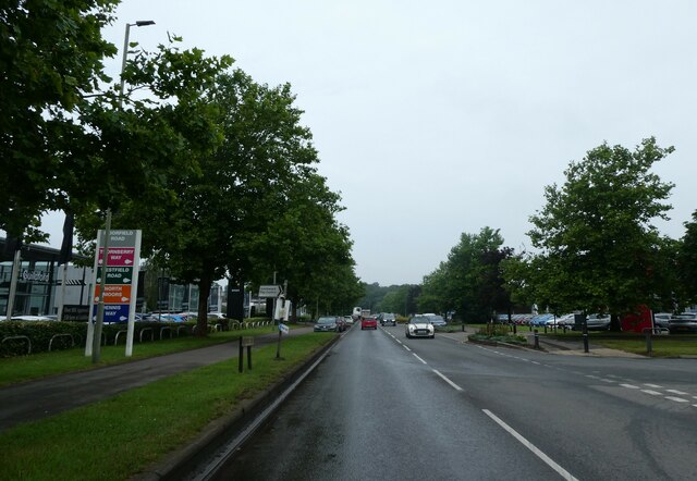
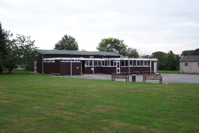
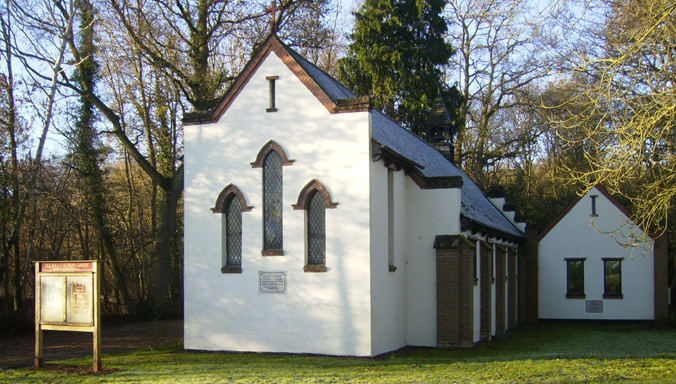
Poor Jack's Wood Images
Images are sourced within 2km of 51.276877/-0.57675808 or Grid Reference SU9954. Thanks to Geograph Open Source API. All images are credited.


Poor Jack's Wood is located at Grid Ref: SU9954 (Lat: 51.276877, Lng: -0.57675808)
Administrative County: Surrey
District: Woking
Police Authority: Surrey
What 3 Words
///pulse.locate.rider. Near Fairlands, Surrey
Nearby Locations
Related Wikis
Jacobs Well, Surrey
Jacobs Well or Jacobswell is a small village in Surrey, England, of 20th century creation, with a population of 1,171. The village forms a northern outskirt...

Stringer's Common
Stringer's Common is a 30-hectare (74-acre) nature reserve east of Worplesdon in Surrey. It is owned by Surrey County Council and managed by the Surrey...

Whitmoor Common
Whitmoor Common is a 166-hectare (410-acre) biological Site of Special Scientific Interest on the northern outskirts of Guildford in Surrey. It is part...
Sutton Green, Surrey
Sutton Green is a semi-rural suburban settlement and area of Metropolitan Green Belt between Guildford and Woking, Surrey. Sutton Green neighbours Jacobs...
All Souls' Church, Sutton Green
All Souls' Church is located in Sutton Green, Guildford, England. The church is in the Parish of Woking St Peter and the Diocese of Guildford. == History... ==

Worplesdon railway station
Worplesdon railway station is a railway station in the Woking district of Surrey, England. The station is located between Woking and Guildford stations...

Smart's and Prey Heaths
Smart's and Prey Heaths is a 39-hectare (96-acre) biological Site of Special Scientific Interest south-west of Woking in Surrey.These mainly damp heaths...

Sutton Place, Surrey
Sutton Place, 3 miles (4.8 km) north-east of Guildford in Surrey, is a large Grade I listed Tudor prodigy house built c. 1525 by Sir Richard Weston (d...
Nearby Amenities
Located within 500m of 51.276877,-0.57675808Have you been to Poor Jack's Wood?
Leave your review of Poor Jack's Wood below (or comments, questions and feedback).