Lower Lagfold Copse
Wood, Forest in Surrey Waverley
England
Lower Lagfold Copse

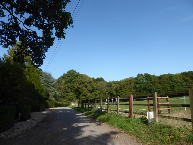
Lower Lagfold Copse is a serene and picturesque wood located in the county of Surrey, England. Covering an area of approximately 50 acres, this enchanting forest is nestled in the heart of the Surrey Hills Area of Outstanding Natural Beauty.
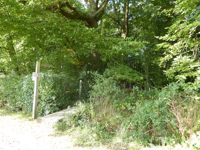
The copse is characterized by its diverse and rich vegetation, boasting an array of native tree species such as oak, beech, ash, and birch. These towering trees create a dense canopy, providing a cool and shaded environment, particularly during the summer months. The forest floor is adorned with a carpet of wildflowers, including bluebells, primroses, and wood anemones, creating a breathtaking display during the spring season.
Lower Lagfold Copse is not only a haven for nature lovers but also serves as an important habitat for a variety of wildlife. The wood is home to a diverse range of bird species, including woodpeckers, tawny owls, and warblers. Additionally, the copse provides shelter and sustenance for mammals such as deer, foxes, and badgers.
This woodland oasis offers numerous walking trails and paths, allowing visitors to immerse themselves in the tranquility of nature. The copse is a popular destination for hikers, dog walkers, and families seeking a peaceful retreat from the hustle and bustle of everyday life. Visitors can also indulge in activities such as wildlife spotting, birdwatching, or simply enjoying a picnic amidst the idyllic setting.
Lower Lagfold Copse is a true gem of Surrey, providing a sanctuary of natural beauty and tranquility for all who venture into its leafy embrace.
If you have any feedback on the listing, please let us know in the comments section below.
Lower Lagfold Copse Images
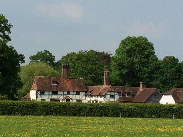
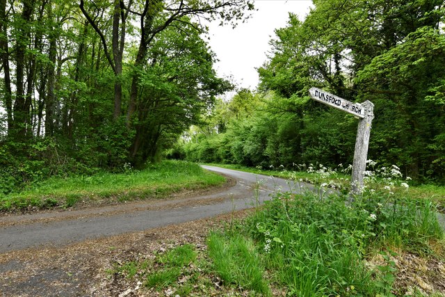
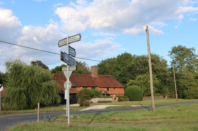
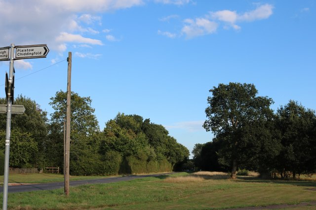
Images are sourced within 2km of 51.103111/-0.58241474 or Grid Reference SU9934. Thanks to Geograph Open Source API. All images are credited.


Lower Lagfold Copse is located at Grid Ref: SU9934 (Lat: 51.103111, Lng: -0.58241474)
Administrative County: Surrey
District: Waverley
Police Authority: Surrey
What 3 Words
///clean.laughs.crew. Near Chiddingfold, Surrey
Nearby Locations
Related Wikis

Chiddingfold Forest
Chiddingfold Forest is a 542.5-hectare (1,341-acre) biological Site of Special Scientific Interest in Chiddingfold in Surrey and West Sussex. One part...

Dunsfold
Dunsfold is a village in the borough of Waverley, Surrey, England, 8.7 miles (14.0 kilometres) south of Guildford. It lies in the Weald and reaches in...

The Farm (recording studio)
The Farm (also known as Fisher Lane Farm) was a recording studio in Chiddingfold, Surrey owned by the rock band Genesis. The group bought the property...

Pickhurst
Pickhurst is a grade II* listed house set in 130 acres (53 ha) of land near Chiddingfold, Surrey, England. == History == It was designed by the Scottish...

Fir Tree Copse
Fir Tree Copse is a 6-hectare (15-acre) nature reserve south-east of Dunsfold in Surrey. It is managed by the Surrey Wildlife Trust and is part of the...

Top Gear test track
The Top Gear test track is used by the BBC automotive television programme Top Gear. It is located at Dunsfold Aerodrome in Surrey, United Kingdom. The...

Shillinglee
Shillinglee is an 18th-century house and estate in West Sussex, England near the Surrey border, in between the villages of Chiddingfold and Plaistow. It...

Chiddingfold
Chiddingfold is a village and civil parish in the Weald in the Waverley district of Surrey, England. It lies on the A283 road between Milford and Petworth...
Nearby Amenities
Located within 500m of 51.103111,-0.58241474Have you been to Lower Lagfold Copse?
Leave your review of Lower Lagfold Copse below (or comments, questions and feedback).