Becks Ash Spinney
Wood, Forest in Bedfordshire
England
Becks Ash Spinney
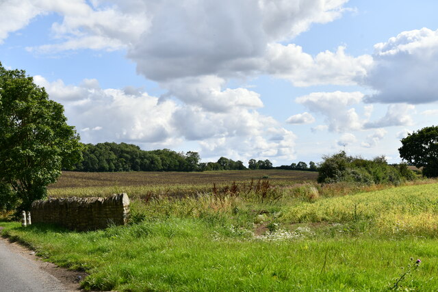
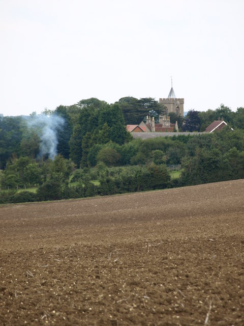
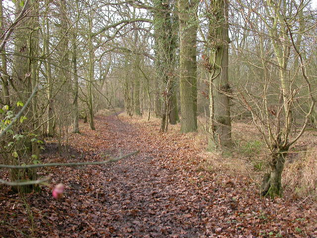
Becks Ash Spinney is a charming woodland located in Bedfordshire, England. Situated near the village of Becks Ash, the spinney covers an area of approximately 10 hectares. It is part of the wider Ashridge Forest, which is known for its diverse range of flora and fauna.
The spinney is predominantly composed of ash trees, which give it its name, but it also features a variety of other tree species including oak, beech, and birch. The dense canopy formed by these trees creates a shaded and tranquil atmosphere, making it a perfect destination for nature enthusiasts and those seeking a peaceful retreat.
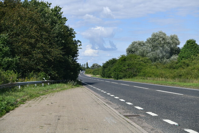
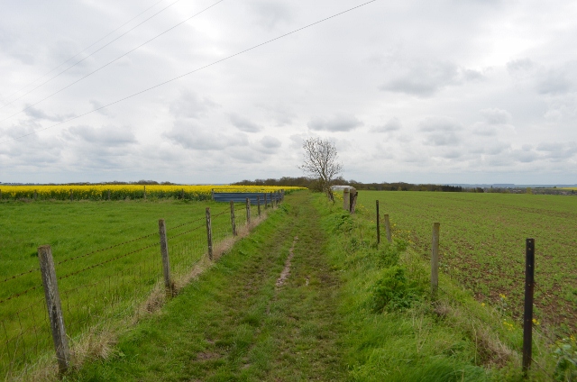
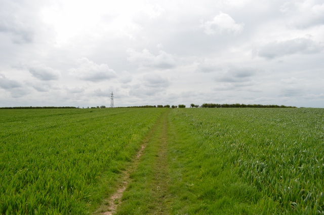
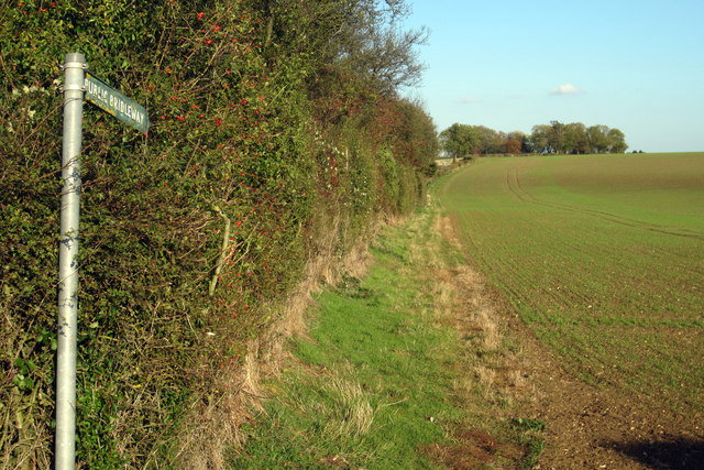
The woodland floor is covered with a rich carpet of wildflowers and ferns, creating a vibrant and colorful landscape. There are also several walking trails that wind through the spinney, allowing visitors to explore its natural beauty while enjoying a leisurely stroll.
Becks Ash Spinney is home to a diverse range of wildlife. Birdwatchers can spot various species of birds, including woodpeckers, owls, and nightingales. The spinney also provides a habitat for small mammals such as rabbits, squirrels, and hedgehogs. Nature lovers may even catch a glimpse of deer or foxes roaming through the woods.
Overall, Becks Ash Spinney is a delightful woodland destination in Bedfordshire, offering a haven of tranquility and an opportunity to appreciate the beauty of nature. Whether it be for a leisurely walk, birdwatching, or simply enjoying the peaceful surroundings, this woodland provides a wonderful escape from the hustle and bustle of daily life.
If you have any feedback on the listing, please let us know in the comments section below.
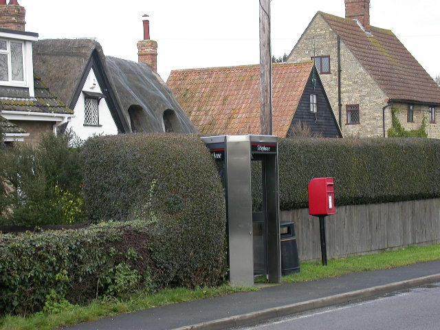
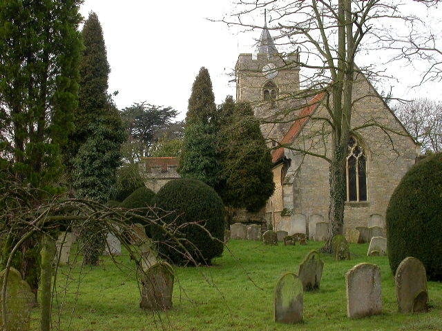
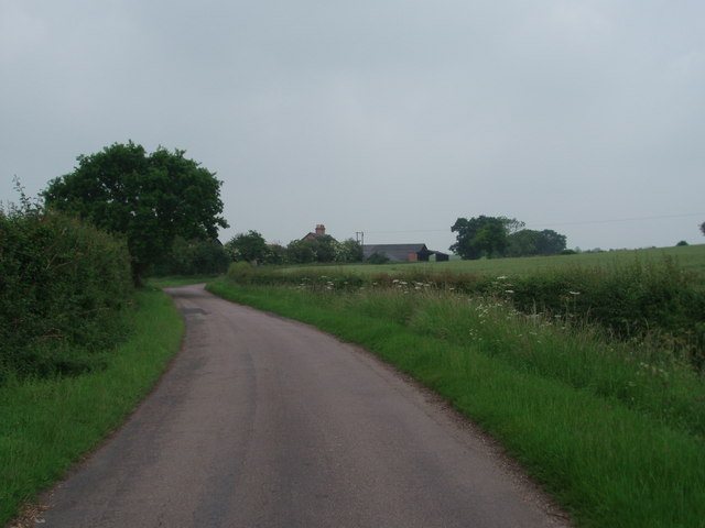
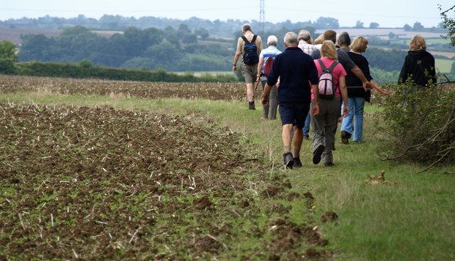
Becks Ash Spinney Images
Images are sourced within 2km of 52.141495/-0.54974208 or Grid Reference SP9950. Thanks to Geograph Open Source API. All images are credited.


Becks Ash Spinney is located at Grid Ref: SP9950 (Lat: 52.141495, Lng: -0.54974208)
Unitary Authority: Bedford
Police Authority: Bedfordshire
What 3 Words
///performs.providing.messy. Near Bromham, Bedfordshire
Nearby Locations
Related Wikis
Hanger Wood
Hanger Wood is an ancient woodland and Site of Special Scientific Interest (SSSI) in the parish of Stagsden, Bedfordshire in the United Kingdom. Situated...

Bedfordshire Golf Club
Bedfordshire Golf Club is a golf club to the east of Stagsden, Bedfordshire, England. Established in 1891, it is the oldest golf club in Bedfordshire....

Bromham, Bedfordshire
Bromham is a village and civil parish in the Borough of Bedford in Bedfordshire, England, situated around 3 miles (4.8 km) west of Bedford town centre...

Church of St Leonard, Stagsden
Church of St Leonard is a Grade I listed church in Stagsden, Bedfordshire, England. It became a listed building on 13 July 1964. == See also == Grade...

Stagsden
Stagsden is a small but historic village and civil parish located in the Borough of Bedford, northwest Bedfordshire, England, near the Buckinghamshire...

Church of St James, Biddenham
Church of St James is a Grade I listed church in Biddenham, Bedfordshire, England. It became a listed building on 13 July 1964. The Church has a website...
West End, Bedfordshire
West End is a hamlet located in the Borough of Bedford in Bedfordshire, England. The settlement is close to Carlton, Pavenham and Stevington. West End...

Church of St Owen, Bromham, Bedfordshire
Church of St Owen is a Grade I listed church in Bromham, Bedfordshire, England. It became a listed building on 13 July 1964.The church is a 17th-century...
Nearby Amenities
Located within 500m of 52.141495,-0.54974208Have you been to Becks Ash Spinney?
Leave your review of Becks Ash Spinney below (or comments, questions and feedback).