Cocked Hat Plantation

Wood, Forest in Lincolnshire North Kesteven

England

Cocked Hat Plantation

Preceptory Tower, Temple Bruer The original floor was at the level of the top of the steps. The roof-line of the Chapel can be seen, along with where the Presbytery joined the tower. The roof is modern.
Preceptory Tower, Temple Bruer Credit: Julian P Guffogg

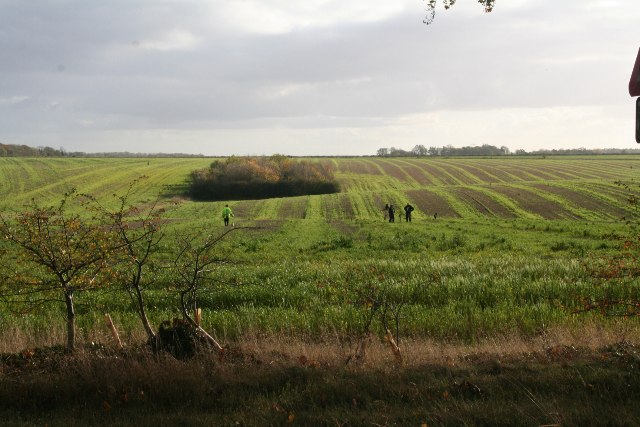
Cocked Hat Plantation is a picturesque woodland located in Lincolnshire, England. Covering an area of approximately 100 acres, this enchanting forest is a haven for nature lovers and outdoor enthusiasts alike.

The plantation is characterized by its dense growth of a variety of tree species, including oak, birch, beech, and hazel. These towering trees create a stunning canopy, providing shade and shelter for the diverse array of flora and fauna that call Cocked Hat Plantation their home. The forest floor is adorned with a carpet of wildflowers, adding bursts of color to the serene landscape.

Visitors to Cocked Hat Plantation can explore the numerous walking trails that wind their way through the woodland. These trails offer a chance to immerse oneself in the tranquility of nature and observe the abundant wildlife that thrives here. Deer, foxes, badgers, and a wide range of bird species are commonly spotted within the plantation, making it a popular destination for birdwatchers and wildlife enthusiasts.

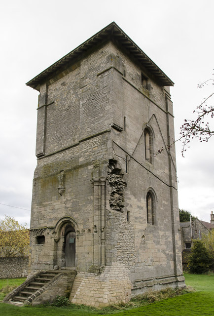
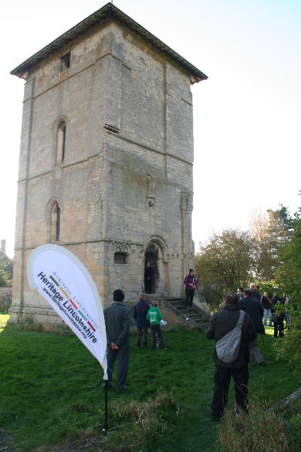
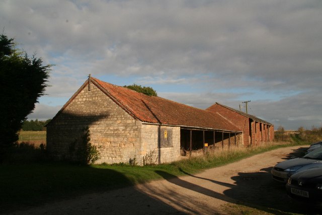
In addition to its natural beauty, Cocked Hat Plantation also boasts a rich history. The woodland was once part of an estate dating back to the 17th century, and remnants of the original manor house can still be seen within the grounds. This historical significance adds an extra layer of fascination to the plantation, making it an ideal destination for those interested in both nature and heritage.

Overall, Cocked Hat Plantation is a captivating destination that offers a serene escape from the bustle of everyday life. Its lush vegetation, diverse wildlife, and intriguing history make it a must-visit location for anyone seeking a peaceful and enchanting woodland experience in Lincolnshire.

If you have any feedback on the listing, please let us know in the comments section below.

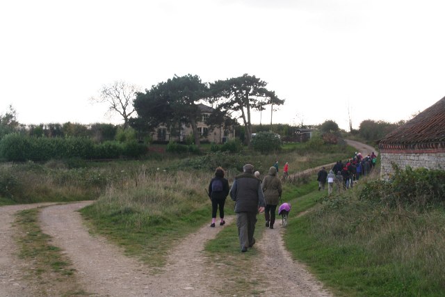
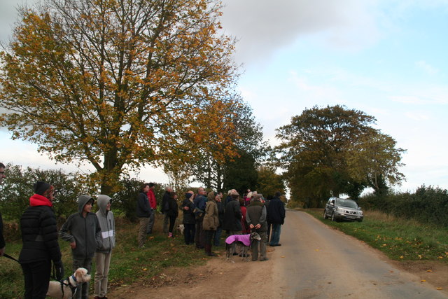
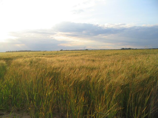
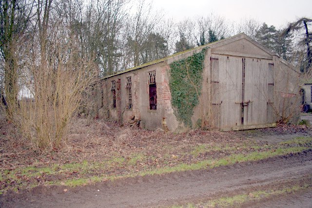
Cocked Hat Plantation Images

Images are sourced within 2km of 53.066734/-0.51889977 or Grid Reference SK9953. Thanks to Geograph Open Source API. All images are credited.

Preceptory Tower, Temple Bruer The original floor was at the level of the top of the steps. The roof-line of the Chapel can be seen, along with where the Presbytery joined the tower. The roof is modern.
Preceptory Tower, Temple Bruer
The original floor was at the level of the top of the steps. The roof-line of the Chapel can be seen, along with where the Presbytery joined the tower. The roof is modern.
Interior, Preceptory Temple Bruer Remains of the altar inside the tower.
Interior, Preceptory Temple Bruer
Remains of the altar inside the tower.
Remains of Sedilia Inside the Temple Bruer tower.
Remains of Sedilia
Inside the Temple Bruer tower.
Cut Mark: Temple Farm Cut bench mark on the south-west angle south face of the cottage at Temple Farm.  See <span class="nowrap"><a title="http://www.bench-marks.org.uk/bm41218" rel="nofollow ugc noopener" href="http://www.bench-marks.org.uk/bm41218">Link</a><img style="margin-left:2px;" alt="External link" title="External link - shift click to open in new window" src="https://s1.geograph.org.uk/img/external.png" width="10" height="10"/></span> for details.
Cut Mark: Temple Farm
Cut bench mark on the south-west angle south face of the cottage at Temple Farm. See LinkExternal link for details.
Metal detectors near Temple Farm, temple Bruer
South Lincolnshire Walking Festival: tour of Temple Bruer Tower See also <a href="https://www.geograph.org.uk/gridref/TF0153">TF0153</a>, <a href="https://www.geograph.org.uk/gridref/TF0054">TF0054</a> and <a href="https://www.geograph.org.uk/gridref/TF0154">TF0154</a>.

For more information on this area, including the Templars, and the Temple Bruer Heath and its rabbit warrens, see <span class="nowrap"><a title="http://www.artsnk.org/wp-content/uploads/2016/06/Heritage-Lincolnshire-Research.pdf" rel="nofollow ugc noopener" href="http://www.artsnk.org/wp-content/uploads/2016/06/Heritage-Lincolnshire-Research.pdf">Link</a><img style="margin-left:2px;" alt="External link" title="External link - shift click to open in new window" src="https://s1.geograph.org.uk/img/external.png" width="10" height="10"/></span> .
South Lincolnshire Walking Festival: tour of Temple Bruer Tower
See also TF0153, TF0054 and TF0154. For more information on this area, including the Templars, and the Temple Bruer Heath and its rabbit warrens, see LinkExternal link .
Farm buildings at Temple Farm, Temple Bruer For more information on this area, including the Templars, and the Temple Bruer Heath and its rabbit warrens, see <span class="nowrap"><a title="http://www.artsnk.org/wp-content/uploads/2016/06/Heritage-Lincolnshire-Research.pdf" rel="nofollow ugc noopener" href="http://www.artsnk.org/wp-content/uploads/2016/06/Heritage-Lincolnshire-Research.pdf">Link</a><img style="margin-left:2px;" alt="External link" title="External link - shift click to open in new window" src="https://s1.geograph.org.uk/img/external.png" width="10" height="10"/></span> .
Farm buildings at Temple Farm, Temple Bruer
For more information on this area, including the Templars, and the Temple Bruer Heath and its rabbit warrens, see LinkExternal link .
Graffiti in Temple Bruer Tower
South Lincolnshire Walking Festival: Temple Bruer walk (1) See also <a href="https://www.geograph.org.uk/gridref/TF0153">TF0153</a>, <a href="https://www.geograph.org.uk/gridref/TF0054">TF0054</a> and <a href="https://www.geograph.org.uk/gridref/TF0154">TF0154</a>.

For more information on this area, including the Templars, and the Temple Bruer Heath and its rabbit warrens, see <span class="nowrap"><a title="http://www.artsnk.org/wp-content/uploads/2016/06/Heritage-Lincolnshire-Research.pdf" rel="nofollow ugc noopener" href="http://www.artsnk.org/wp-content/uploads/2016/06/Heritage-Lincolnshire-Research.pdf">Link</a><img style="margin-left:2px;" alt="External link" title="External link - shift click to open in new window" src="https://s1.geograph.org.uk/img/external.png" width="10" height="10"/></span> .
South Lincolnshire Walking Festival: Temple Bruer walk (1)
See also TF0153, TF0054 and TF0154. For more information on this area, including the Templars, and the Temple Bruer Heath and its rabbit warrens, see LinkExternal link .
South Lincolnshire Walking Festival: Temple Bruer walk (2) See also <a href="https://www.geograph.org.uk/gridref/TF0053">TF0053</a>, <a href="https://www.geograph.org.uk/gridref/TF0054">TF0054</a> and <a href="https://www.geograph.org.uk/gridref/TF0154">TF0154</a>.

For more information on this area, including the Templars, and the Temple Bruer Heath and its rabbit warrens, see <span class="nowrap"><a title="http://www.artsnk.org/wp-content/uploads/2016/06/Heritage-Lincolnshire-Research.pdf" rel="nofollow ugc noopener" href="http://www.artsnk.org/wp-content/uploads/2016/06/Heritage-Lincolnshire-Research.pdf">Link</a><img style="margin-left:2px;" alt="External link" title="External link - shift click to open in new window" src="https://s1.geograph.org.uk/img/external.png" width="10" height="10"/></span> .
South Lincolnshire Walking Festival: Temple Bruer walk (2)
See also TF0053, TF0054 and TF0154. For more information on this area, including the Templars, and the Temple Bruer Heath and its rabbit warrens, see LinkExternal link .
Fields opposite Temple Farm, Temple Bruer
South Lincolnshire Walking Festival: Temple Bruer walk (5) Returning to the Tower. For more information on this area, including the Templars, and the Temple Bruer Heath and its rabbit warrens, see <span class="nowrap"><a title="http://www.artsnk.org/wp-content/uploads/2016/06/Heritage-Lincolnshire-Research.pdf" rel="nofollow ugc noopener" href="http://www.artsnk.org/wp-content/uploads/2016/06/Heritage-Lincolnshire-Research.pdf">Link</a><img style="margin-left:2px;" alt="External link" title="External link - shift click to open in new window" src="https://s1.geograph.org.uk/img/external.png" width="10" height="10"/></span> .

See also <a href="https://www.geograph.org.uk/gridref/TF0053">TF0053</a>, <a href="https://www.geograph.org.uk/gridref/TF0154">TF0154</a> and <a href="https://www.geograph.org.uk/gridref/TF0153">TF0153</a>.
South Lincolnshire Walking Festival: Temple Bruer walk (5)
Returning to the Tower. For more information on this area, including the Templars, and the Temple Bruer Heath and its rabbit warrens, see LinkExternal link . See also TF0053, TF0154 and TF0153.
South Lincolnshire Walking Festival: Temple Bruer walk (6) See also <a href="https://www.geograph.org.uk/gridref/TF0053">TF0053</a>, <a href="https://www.geograph.org.uk/gridref/TF0154">TF0154</a> and <a href="https://www.geograph.org.uk/gridref/TF0153">TF0153</a>.

For more information on this area, including the Templars, and the Temple Bruer Heath and its rabbit warrens, see <span class="nowrap"><a title="http://www.artsnk.org/wp-content/uploads/2016/06/Heritage-Lincolnshire-Research.pdf" rel="nofollow ugc noopener" href="http://www.artsnk.org/wp-content/uploads/2016/06/Heritage-Lincolnshire-Research.pdf">Link</a><img style="margin-left:2px;" alt="External link" title="External link - shift click to open in new window" src="https://s1.geograph.org.uk/img/external.png" width="10" height="10"/></span> .
South Lincolnshire Walking Festival: Temple Bruer walk (6)
See also TF0053, TF0154 and TF0153. For more information on this area, including the Templars, and the Temple Bruer Heath and its rabbit warrens, see LinkExternal link .
Autumn sown crop near Brauncewell
View towards Temple House
Temple Farm and Tower The tower by the side of Temple Farm is the remaining part of a church which was once home to the Knights Templar.  The tower is closed to the public for a short time whilst it has its roof replaced.
Temple Farm and Tower
The tower by the side of Temple Farm is the remaining part of a church which was once home to the Knights Templar. The tower is closed to the public for a short time whilst it has its roof replaced.
View to Temple Farm The top of the tower of the preceptory ruins just visible across farmland
View to Temple Farm
The top of the tower of the preceptory ruins just visible across farmland
Farmland near Brauncewell, Lincs A featureless grid square containing only growing crops.
Farmland near Brauncewell, Lincs
A featureless grid square containing only growing crops.
Show me another place!

Cocked Hat Plantation is located at Grid Ref: SK9953 (Lat: 53.066734, Lng: -0.51889977)

Administrative County: Lincolnshire

District: North Kesteven

Police Authority: Lincolnshire

What 3 Words

///squirted.dictation.goals. Near Navenby, Lincolnshire

Nearby Locations

Cocked Hat Plantation

Related Wikis

RAF Wellingore

Royal Air Force Wellingore or more simply RAF Wellingore is a former Royal Air Force fighter relief landing ground located 1.9 miles (3.1 km) south of...

Temple Bruer Preceptory

Temple Bruer Preceptory is a historic building in the civil parish of Temple Bruer with Temple High Grange, North Kesteven, Lincolnshire, England. It...

Temple Bruer with Temple High Grange

Temple Bruer with Temple High Grange is a civil parish and a former extra-parochial area in North Kesteven, Lincolnshire, England which had in the Medieval...

Sleaford and North Hykeham (UK Parliament constituency)

Sleaford and North Hykeham is a parliamentary constituency in Lincolnshire, England which elects a single Member of Parliament (MP) to the House of Commons...

Nearby Amenities

Located within 500m of 53.066734,-0.51889977
Cocked Hat Farm
Place: farm
Source: Bing
Lat/Long: 53.0652436/-0.5257967
The data included in this document is from www.openstreetmap.org. The data is made available under ODbL.

Have you been to Cocked Hat Plantation?

Leave your review of Cocked Hat Plantation below (or comments, questions and feedback).