Easton
Settlement in Berkshire
England
Easton
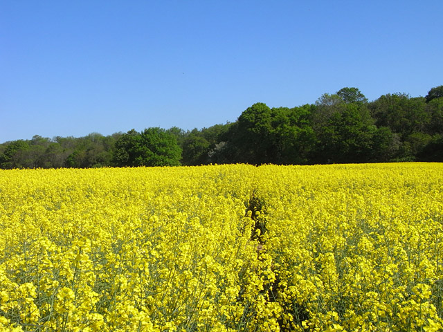
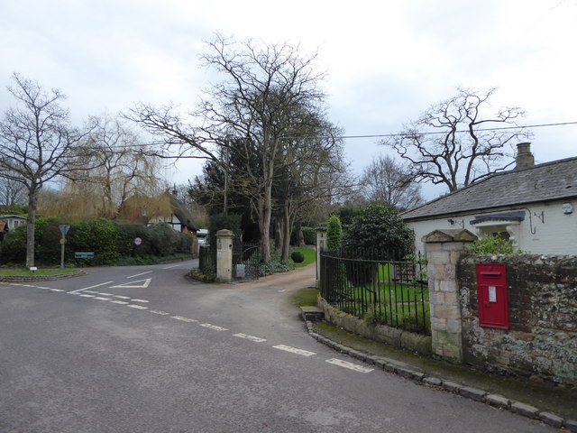
Easton is a small village located in the county of Berkshire in England. It is situated approximately 5 miles east of the town of Newbury and has a population of around 1,000 residents. The village is known for its picturesque countryside surroundings, with rolling hills and lush green fields.
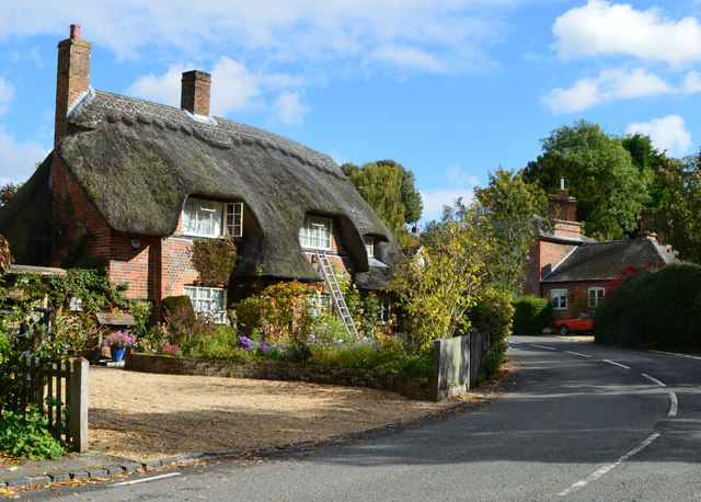
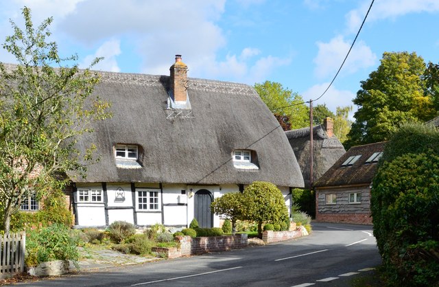
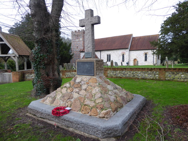
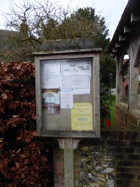
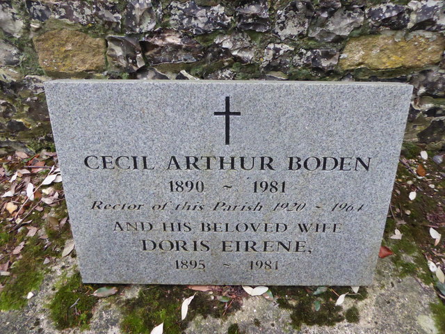
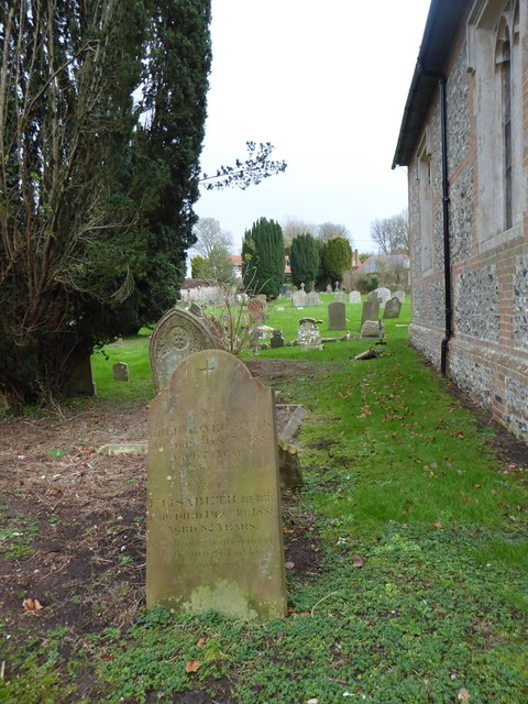
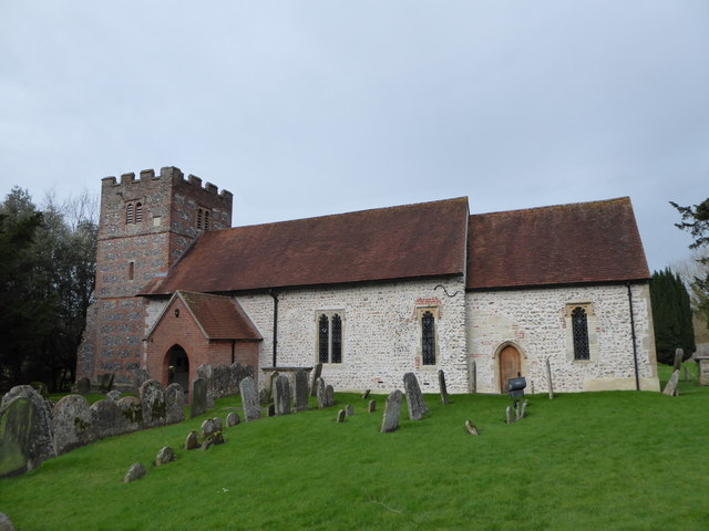
Easton is a historic village, with evidence of human habitation dating back to Roman times. The village is home to several historic buildings, including a medieval church and a number of traditional thatched cottages. The village has a strong sense of community, with a village hall, local pub, and primary school serving as focal points for residents.
Easton is well-connected to nearby towns and cities, with good transport links to Newbury and Reading. The village is popular with commuters looking for a peaceful rural retreat while still being within easy reach of urban amenities. The tranquil setting and sense of community make Easton a desirable place to live for those seeking a quiet and idyllic village lifestyle.
If you have any feedback on the listing, please let us know in the comments section below.
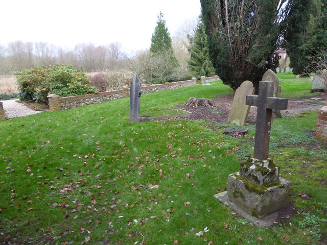
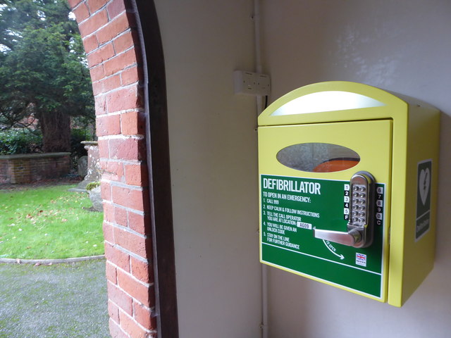
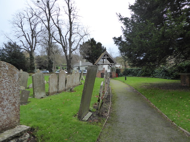
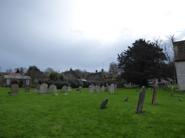
Easton Images
Images are sourced within 2km of 51.4472/-1.39991 or Grid Reference SU4172. Thanks to Geograph Open Source API. All images are credited.


Easton is located at Grid Ref: SU4172 (Lat: 51.4472, Lng: -1.39991)
Unitary Authority: West Berkshire
Police Authority: Thames Valley
What 3 Words
///texted.demotion.rainbow. Near Welford, Berkshire
Nearby Locations
Related Wikis
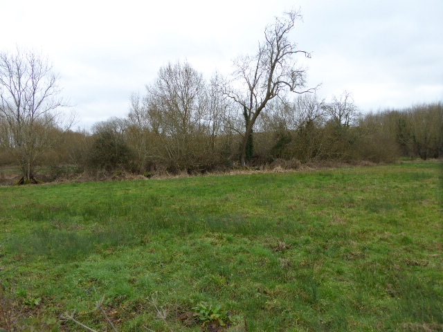
Easton Farm Meadow
Easton Farm Meadow is a 1.6-hectare (4.0-acre) biological Site of Special Scientific Interest in Easton, west of Boxford in Berkshire. It is in the North...

Boxford railway station
Boxford railway station was a railway station in Boxford, Berkshire, UK, on the Lambourn Valley Railway. The hut has been saved from being destroyed as...

Boxford Water Meadows
Boxford Water Meadows is a 13.9-hectare (34-acre) biological Site of Special Scientific Interest in Boxford in Berkshire. It is part of the Kennet & Lambourn...
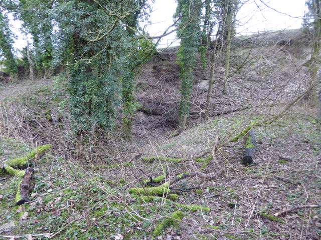
Boxford Chalk Pit
Boxford Chalk Pit is a 0.4-hectare (0.99-acre) geological Site of Special Scientific Interest in Boxford in Berkshire. It is a Geological Conservation...
Nearby Amenities
Located within 500m of 51.4472,-1.39991Have you been to Easton?
Leave your review of Easton below (or comments, questions and feedback).